Lake Mohawk is an unincorporated residential development and census-designated place (CDP) split between Byram Township and Sparta Township, in Sussex County, New Jersey, United States. As of the 2010 United States census, the CDP’s population was 9,916, of which 1,824 were in Byram Township and 8,092 in Sparta Township.
| Name: | Lake Mohawk CDP |
|---|---|
| LSAD Code: | 57 |
| LSAD Description: | CDP (suffix) |
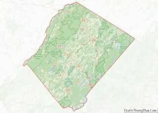
| State: | New Jersey |
| County: | Sussex County |
| Elevation: | 869 ft (265 m) |
| Total Area: | 6.19 sq mi (16.03 km²) |
| Land Area: | 5.02 sq mi (13.00 km²) |
| Water Area: | 1.17 sq mi (3.03 km²) 18.91% |
| Total Population: | 9,759 |
| Population Density: | 1,943.64/sq mi (750.51/km²) |
| Area code: | 862/973 |
| FIPS code: | 3438040 |
| GNISfeature ID: | 02389370 |
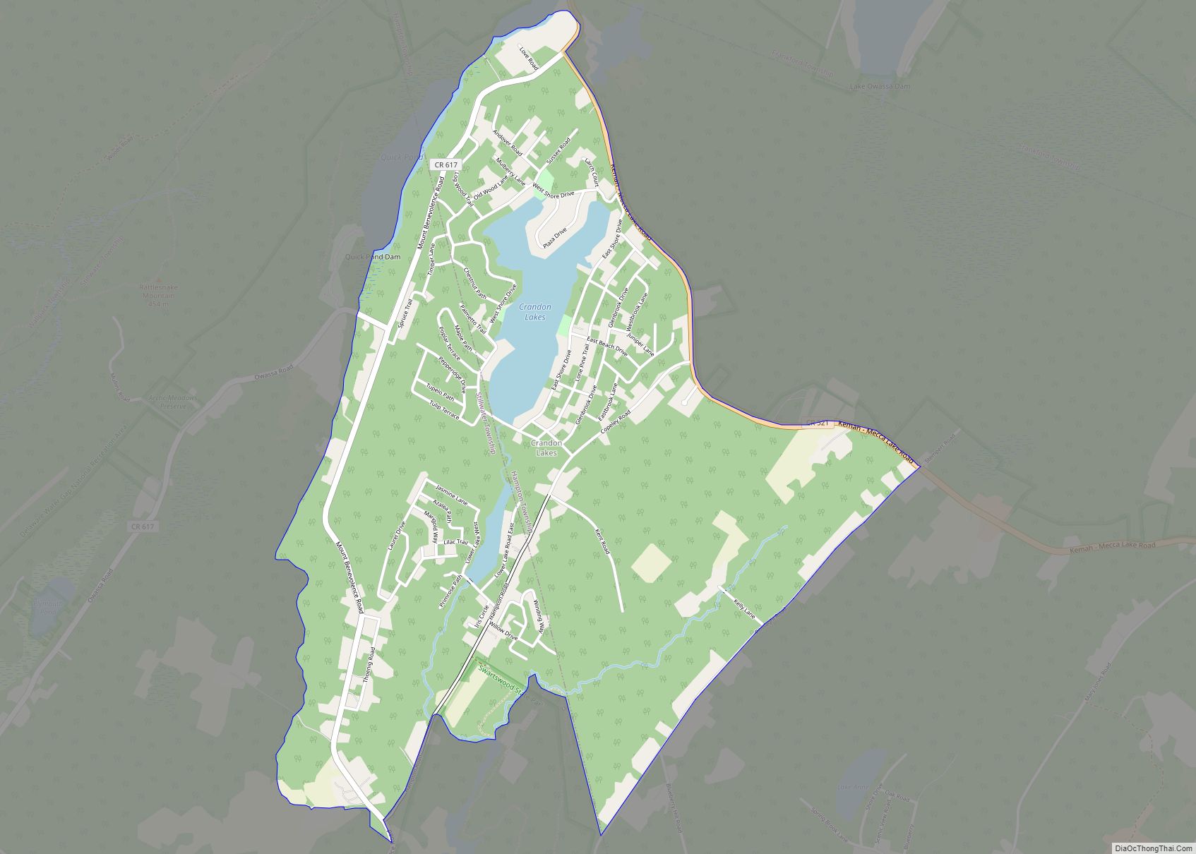
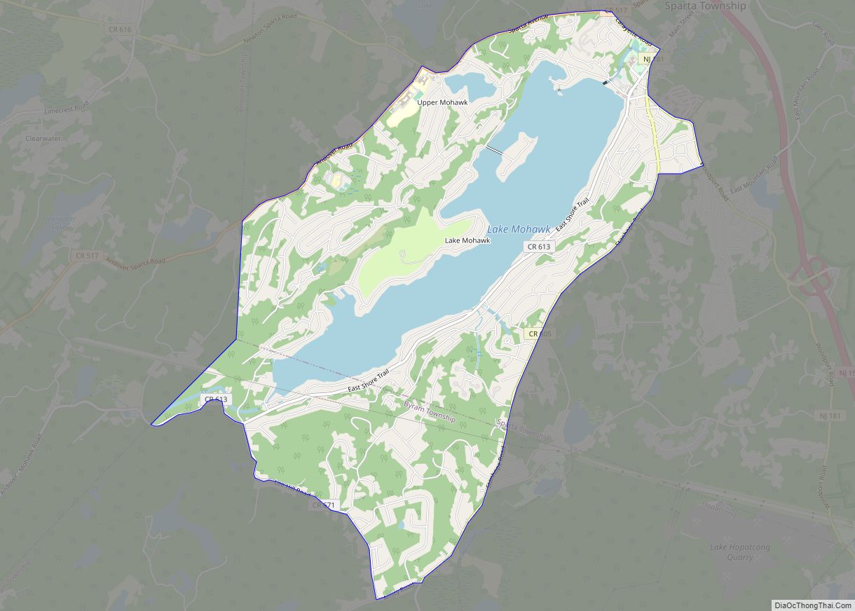
Online Interactive Map
Click on ![]() to view map in "full screen" mode.
to view map in "full screen" mode.
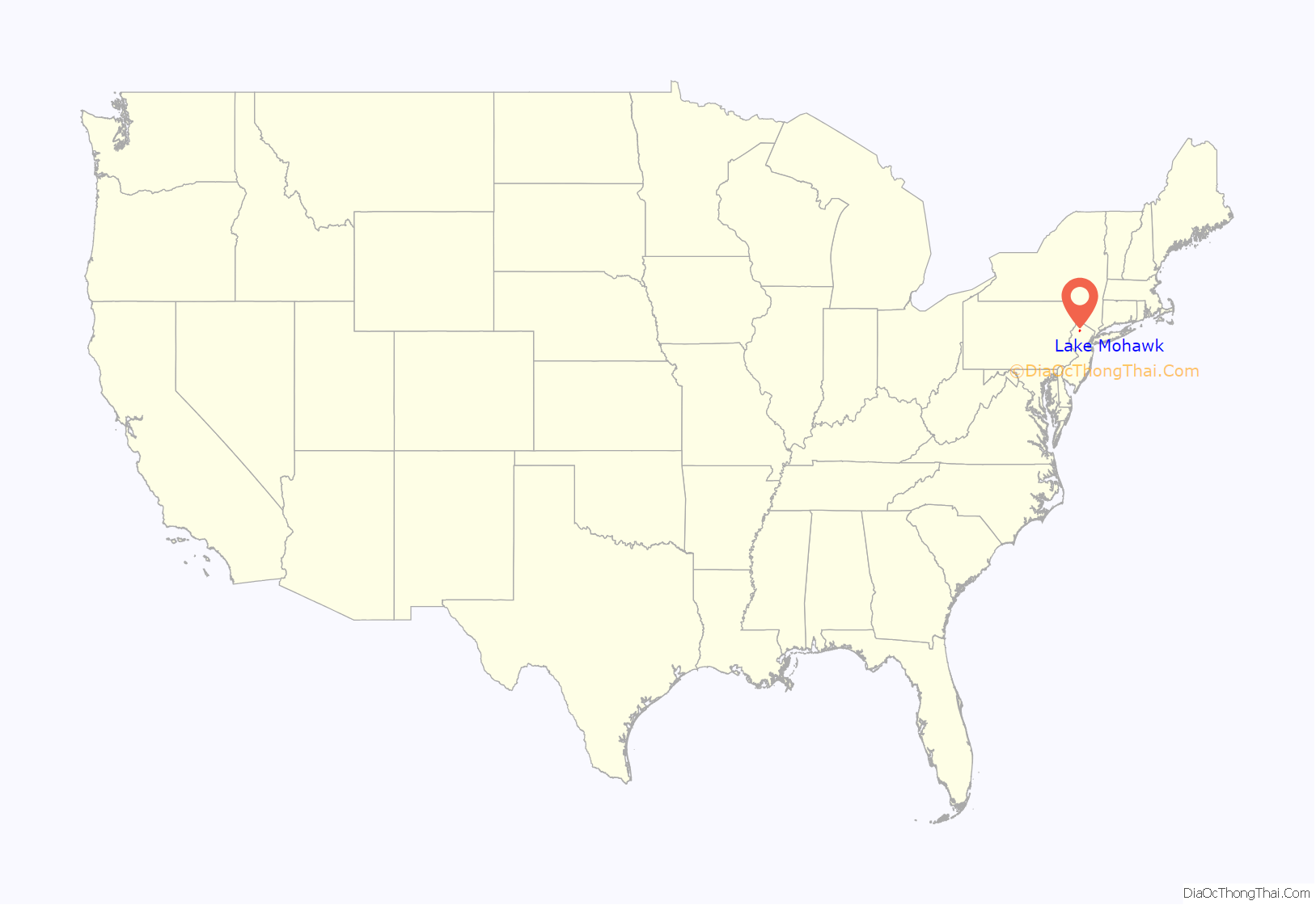
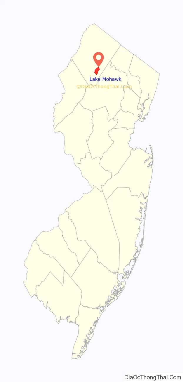
Lake Mohawk location map. Where is Lake Mohawk CDP?
History
In 1924 tributary streams and natural springs of the Wallkill River were impounded at the northern end of Brogden Meadow in Sussex County. The Arthur D. Crane Company, a real estate development venture in partnership with Herbert Closs, acquired 2,600 ha (6,400 acres) of farmland. In 1926, Brogden Meadow was cleared and work started on a dam that would create Lake Mohawk. The dam was completed August 1926. It took until 1928 for water to fill the lake which now drains into the Wallkill River.
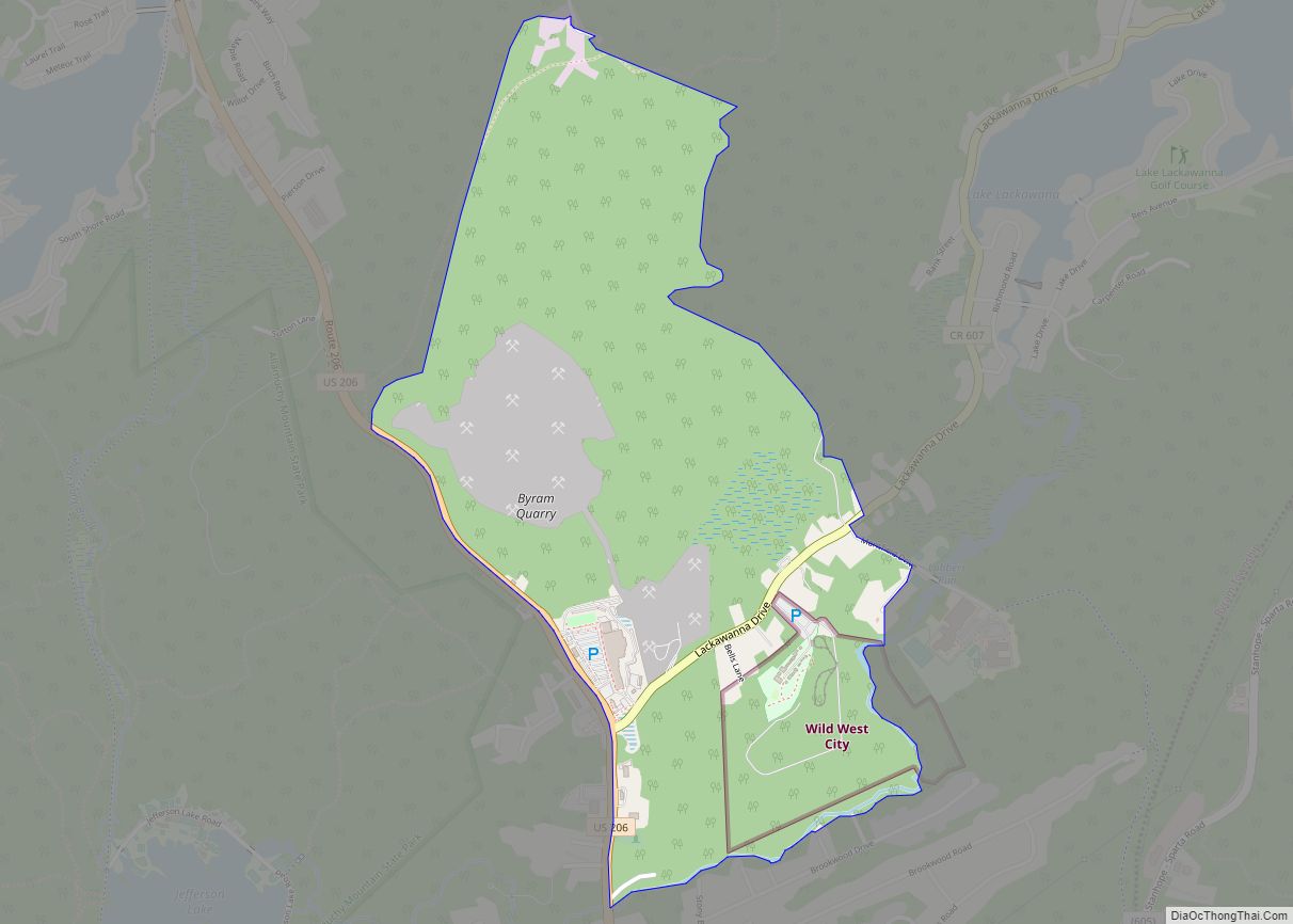
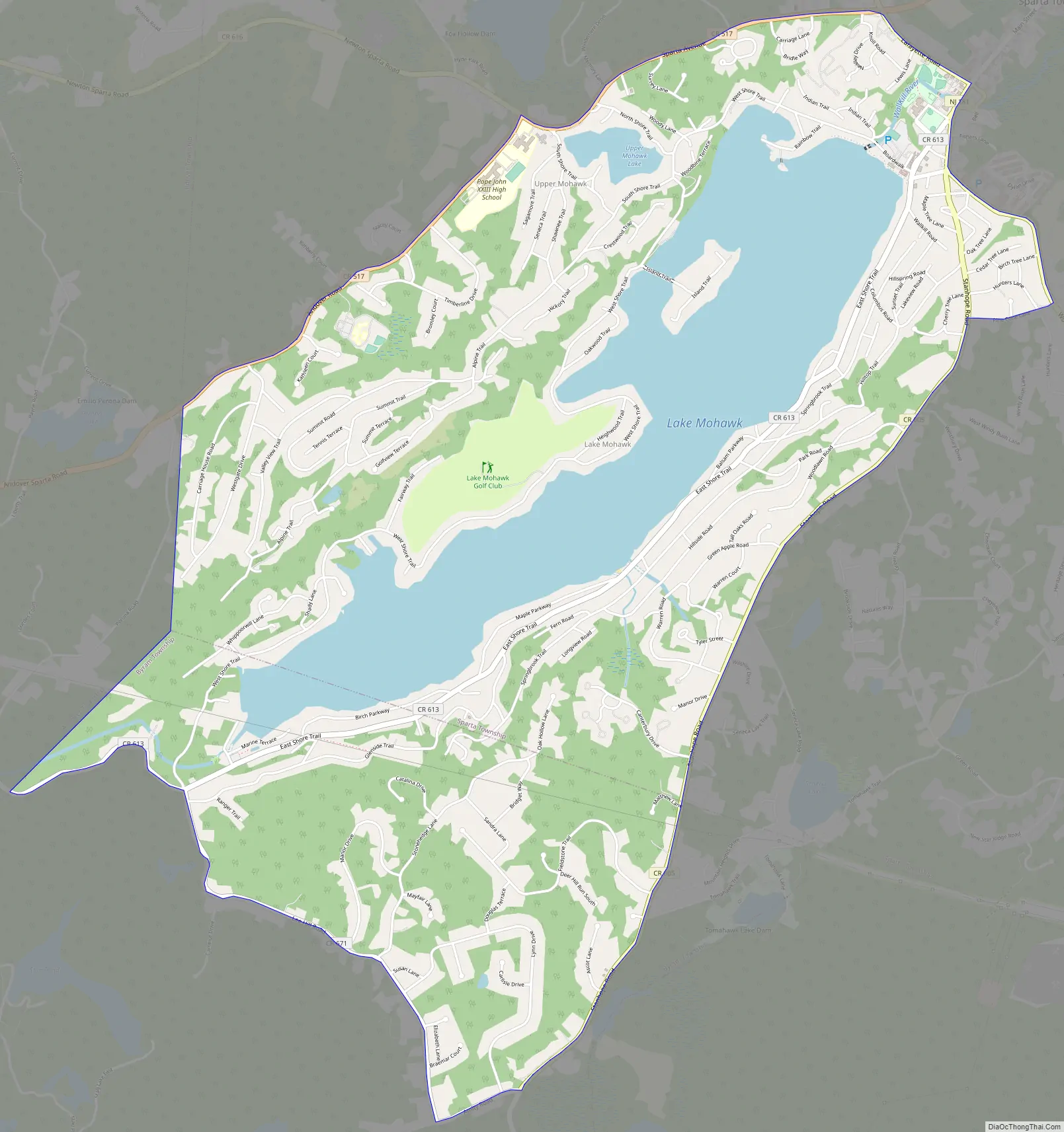
Lake Mohawk Road Map
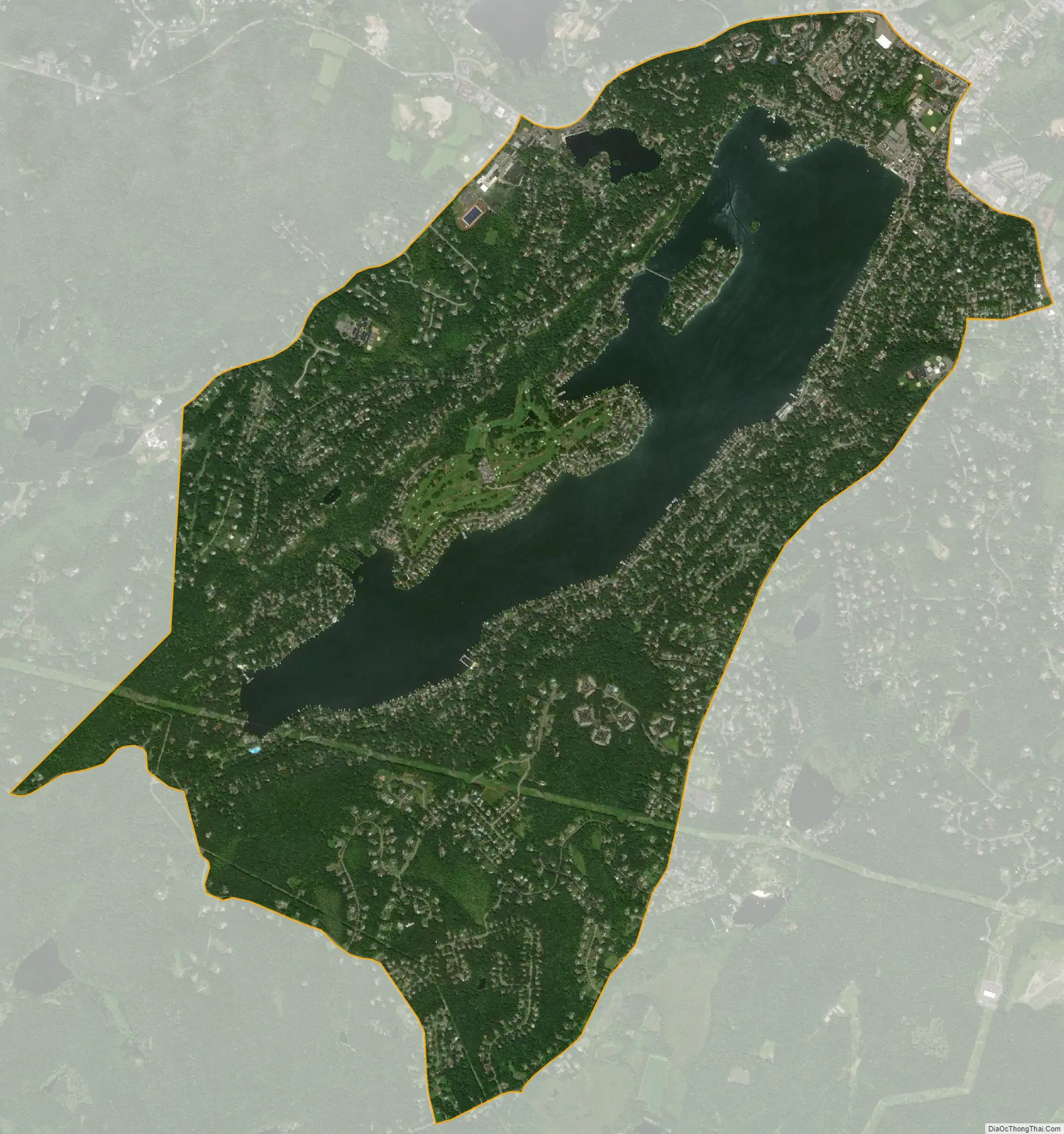
Lake Mohawk city Satellite Map
Geography
According to the United States Census Bureau, the CDP had a total area of 6.172 square miles (15.987km), including 5.005 square miles (12.964 km) of land and 1.167 square miles (3.023km) of water (18.91%).
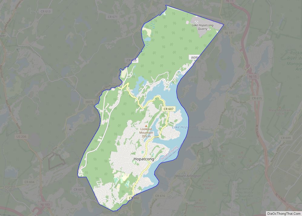
The community is located largely within the township of Sparta, with a portion located in Byram Township.
See also
Map of New Jersey State and its subdivision: Map of other states:- Alabama
- Alaska
- Arizona
- Arkansas
- California
- Colorado
- Connecticut
- Delaware
- District of Columbia
- Florida
- Georgia
- Hawaii
- Idaho
- Illinois
- Indiana
- Iowa
- Kansas
- Kentucky
- Louisiana
- Maine
- Maryland
- Massachusetts
- Michigan
- Minnesota
- Mississippi
- Missouri
- Montana
- Nebraska
- Nevada
- New Hampshire
- New Jersey
- New Mexico
- New York
- North Carolina
- North Dakota
- Ohio
- Oklahoma
- Oregon
- Pennsylvania
- Rhode Island
- South Carolina
- South Dakota
- Tennessee
- Texas
- Utah
- Vermont
- Virginia
- Washington
- West Virginia
- Wisconsin
- Wyoming