Lawnside is a borough in Camden County, in the U.S. state of New Jersey. Lawnside was developed in 1840 and incorporated in 1926 as the first independent, self-governing black municipality north of the Mason–Dixon line. The United Parcel Service has a large depot in the borough. As of the 2020 United States census, the borough’s population was 2,955, an increase of 10 (+0.3%) from the 2010 census count of 2,945, which in turn reflected an increase of 253 (+9.4%) from the 2,692 counted in the 2000 census.
In 2021, the borough had the 25th-highest property tax rate in New Jersey, with an equalized rate of 4.213% in 2020, compared to 3.470% in the county as a whole and a statewide average of 2.279%.
| Name: | Lawnside borough |
|---|---|
| LSAD Code: | 21 |
| LSAD Description: | borough (suffix) |
| State: | New Jersey |
| County: | Camden County |
| Incorporated: | April 20, 1926 |
| Elevation: | 85 ft (26 m) |
| Total Area: | 1.43 sq mi (3.70 km²) |
| Land Area: | 1.43 sq mi (3.70 km²) |
| Water Area: | 0.00 sq mi (0.00 km²) 0.00% |
| Total Population: | 2,955 |
| Population Density: | 2,065.8/sq mi (797.6/km²) |
| ZIP code: | 08045 |
| Area code: | 856 exchanges: 310, 546, 547, 573, 672 |
| FIPS code: | 3439420 |
| GNISfeature ID: | 0885274 |
| Website: | www.lawnside.net |
Online Interactive Map
Click on ![]() to view map in "full screen" mode.
to view map in "full screen" mode.
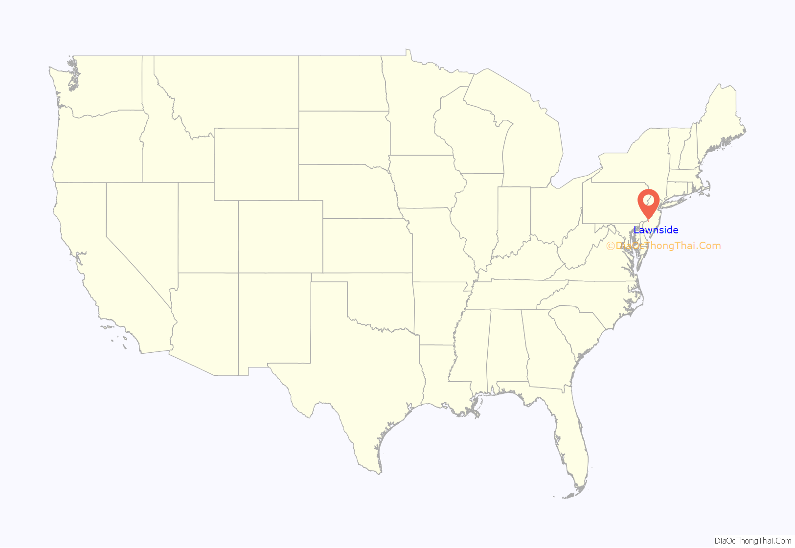
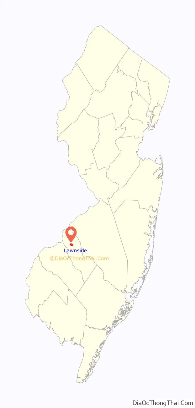
Lawnside location map. Where is Lawnside borough?
History
The land that was developed as Lawnside was purchased in 1840 by abolitionists for a community for freed and escaped slaves, as well as other African Americans.
Earlier known as “Snow Hill” and “Free Haven”, the borough was named for the train station constructed by the Reading Railroad along the Atlantic City Railroad in 1907.
On April 20, 1926, an “Official Special Election” was held in the Borough of Lawnside. Just one month earlier, on March 24, 1926, Governor of New Jersey A. Harry Moore signed into law New Jersey General Assembly Bill 561, dissolving Centre Township, of which Lawnside was a part, and incorporating the Borough of Lawnside, which also included portions of the borough of Barrington. With its first election, Lawnside became the first independent self-governing African American community north of the Mason–Dixon line.
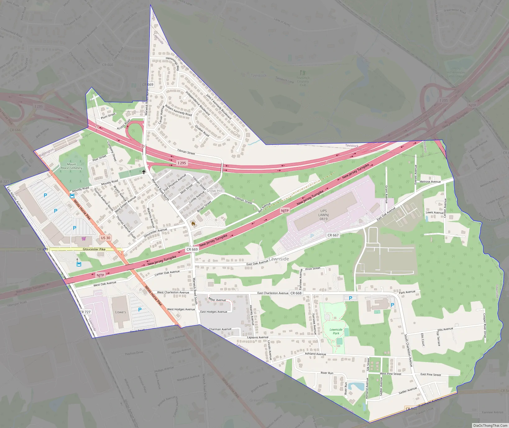
Lawnside Road Map
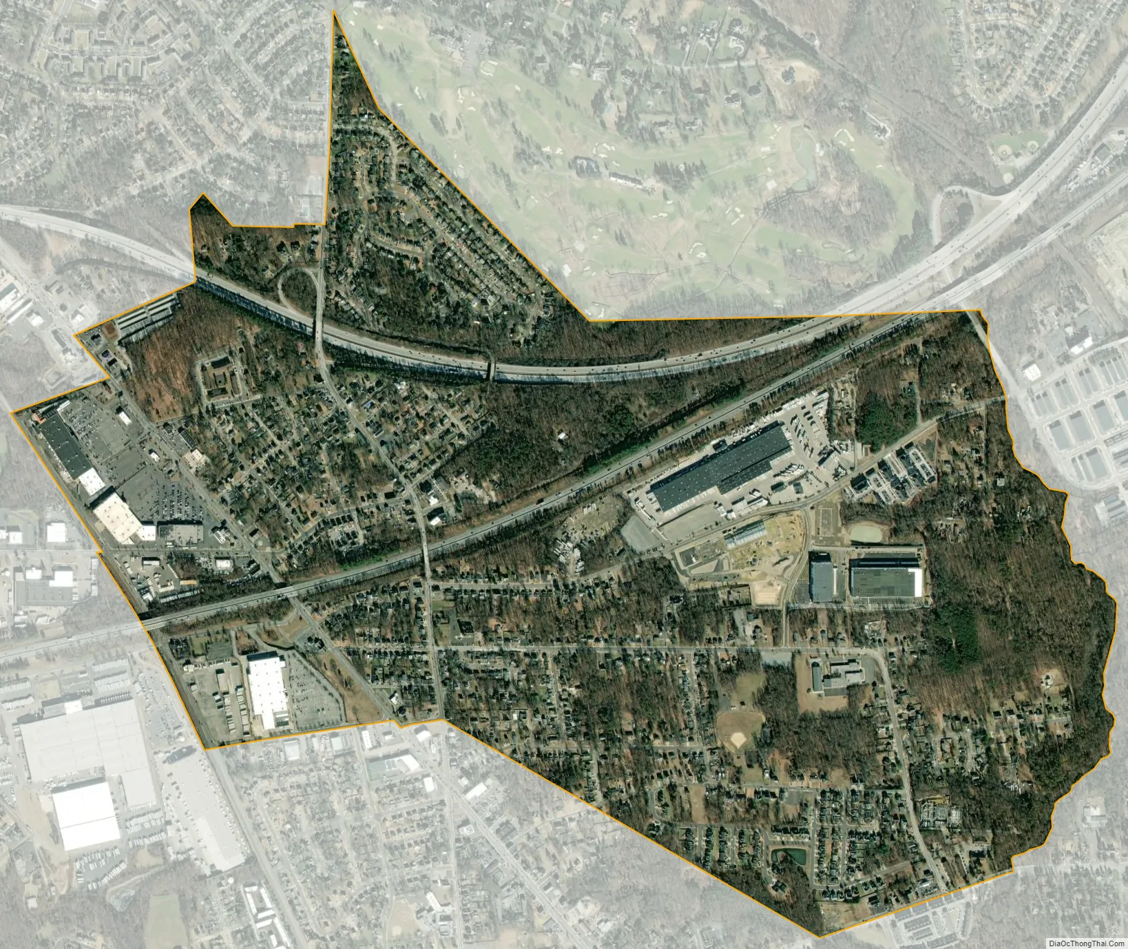
Lawnside city Satellite Map
Geography
According to the United States Census Bureau, the borough had a total area of 1.43 square miles (3.70 km), all of which was land.
Lawnside borders the Camden County municipalities of Barrington, Cherry Hill, Haddonfield, Magnolia, Somerdale, Tavistock and Voorhees Township.
See also
Map of New Jersey State and its subdivision: Map of other states:- Alabama
- Alaska
- Arizona
- Arkansas
- California
- Colorado
- Connecticut
- Delaware
- District of Columbia
- Florida
- Georgia
- Hawaii
- Idaho
- Illinois
- Indiana
- Iowa
- Kansas
- Kentucky
- Louisiana
- Maine
- Maryland
- Massachusetts
- Michigan
- Minnesota
- Mississippi
- Missouri
- Montana
- Nebraska
- Nevada
- New Hampshire
- New Jersey
- New Mexico
- New York
- North Carolina
- North Dakota
- Ohio
- Oklahoma
- Oregon
- Pennsylvania
- Rhode Island
- South Carolina
- South Dakota
- Tennessee
- Texas
- Utah
- Vermont
- Virginia
- Washington
- West Virginia
- Wisconsin
- Wyoming


