Leisuretowne is an unincorporated community and census-designated place (CDP) located within Southampton Township, in Burlington County, New Jersey, United States. As of the 2010 United States Census, the CDP’s population was 3,582.
Leisuretowne is a retirement village, with a standing rule of having prospective residents reach the age of 55 before purchasing a home. Two thirds of the CDPs residents are 65 years of age or older.
| Name: | Leisuretowne CDP |
|---|---|
| LSAD Code: | 57 |
| LSAD Description: | CDP (suffix) |
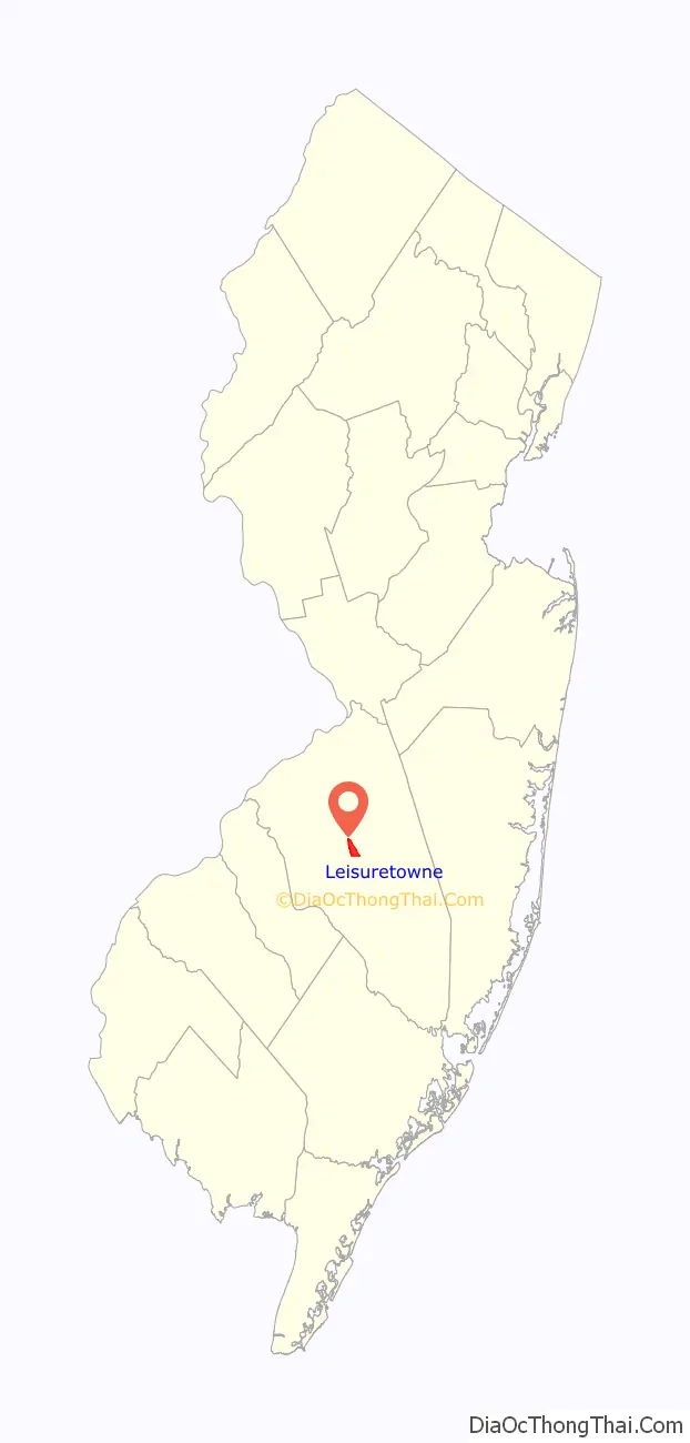
| State: | New Jersey |
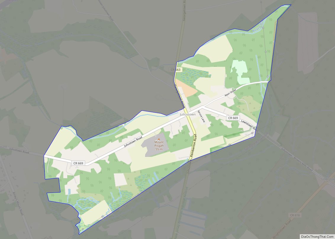
| County: | Burlington County |
| Elevation: | 46 ft (14 m) |
| Total Area: | 2.18 sq mi (5.66 km²) |
| Land Area: | 2.07 sq mi (5.35 km²) |
| Water Area: | 0.12 sq mi (0.31 km²) 6.25% |
| Total Population: | 3,842 |
| Population Density: | 1,859.63/sq mi (718.06/km²) |
| Area code: | 609 |
| FIPS code: | 3439885 |
| GNISfeature ID: | 02390054 |
Online Interactive Map
Click on ![]() to view map in "full screen" mode.
to view map in "full screen" mode.
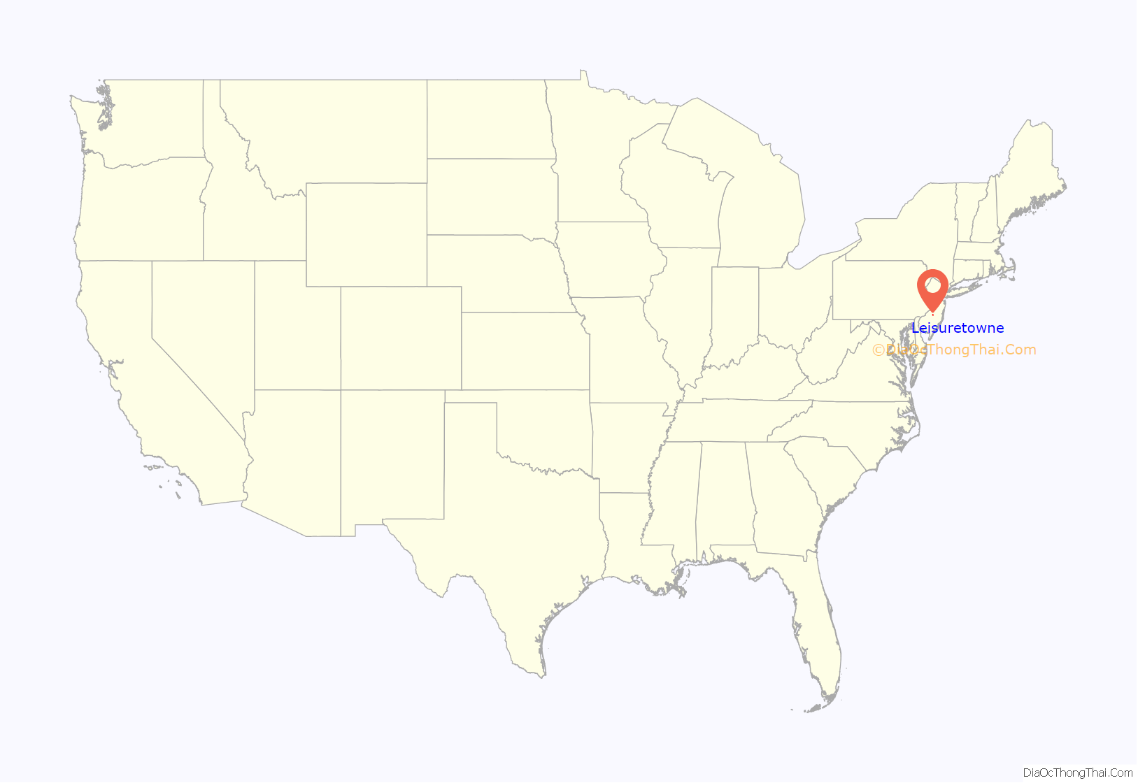
Leisuretowne location map. Where is Leisuretowne CDP?
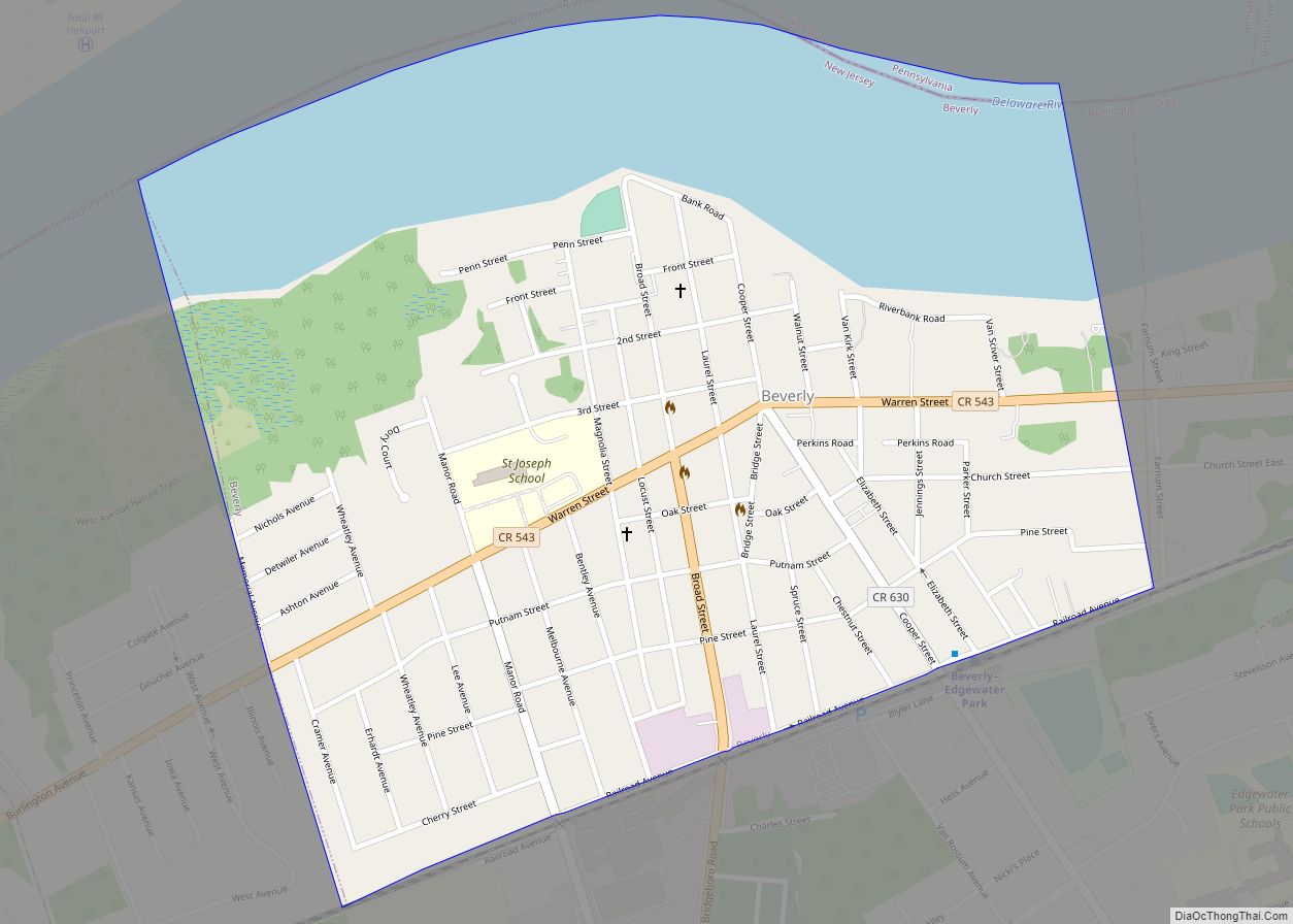
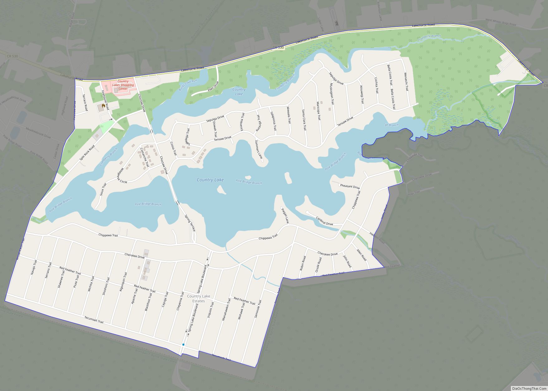
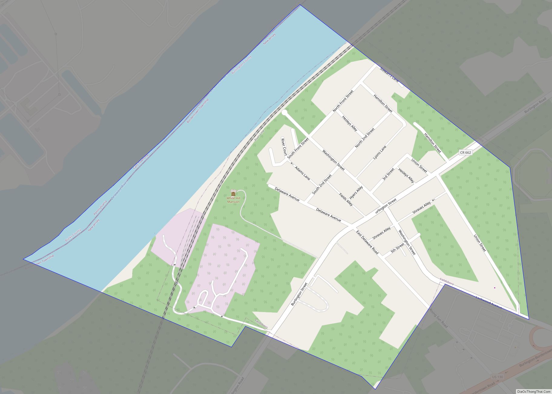
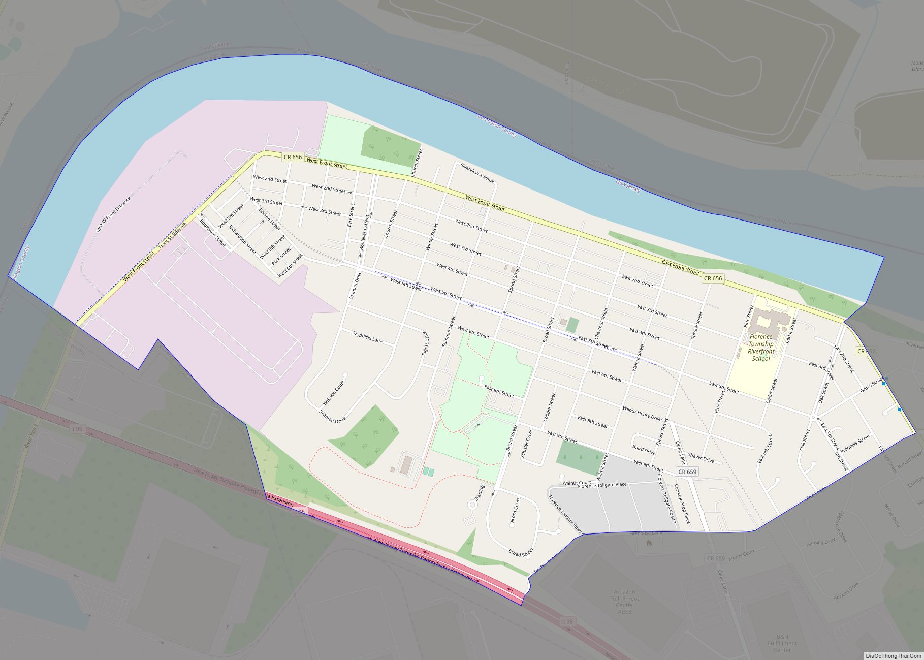
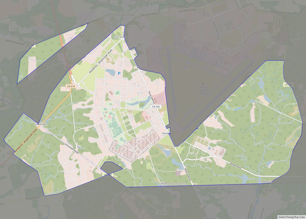
Leisuretowne Road Map
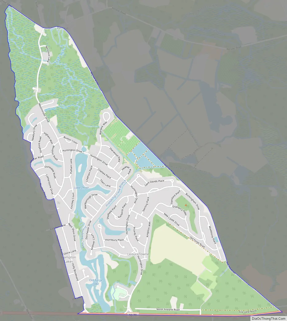
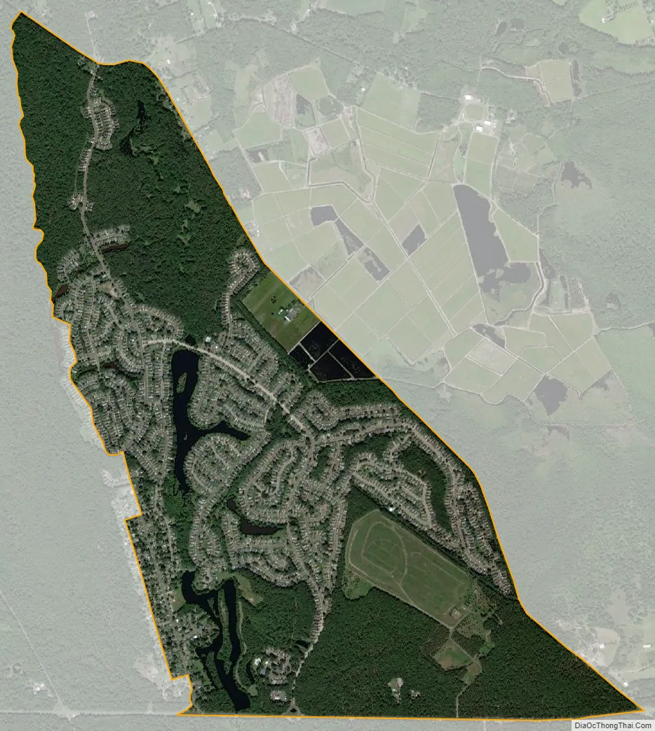
Leisuretowne city Satellite Map
Geography
According to the United States Census Bureau, Leisuretowne had a total area of 2.043 square miles (5.291 km), including 1.915 square miles (4.960 km) of land and 0.128 square miles (0.331 km) of water (6.25%).
See also
Map of New Jersey State and its subdivision: Map of other states:- Alabama
- Alaska
- Arizona
- Arkansas
- California
- Colorado
- Connecticut
- Delaware
- District of Columbia
- Florida
- Georgia
- Hawaii
- Idaho
- Illinois
- Indiana
- Iowa
- Kansas
- Kentucky
- Louisiana
- Maine
- Maryland
- Massachusetts
- Michigan
- Minnesota
- Mississippi
- Missouri
- Montana
- Nebraska
- Nevada
- New Hampshire
- New Jersey
- New Mexico
- New York
- North Carolina
- North Dakota
- Ohio
- Oklahoma
- Oregon
- Pennsylvania
- Rhode Island
- South Carolina
- South Dakota
- Tennessee
- Texas
- Utah
- Vermont
- Virginia
- Washington
- West Virginia
- Wisconsin
- Wyoming