Manville is a borough in Somerset County, in the U.S. state of New Jersey. The borough is located in the heart of the Raritan Valley region and is a part of the New York metropolitan area. As of the 2020 United States census, the borough’s population was 10,953, an increase of 609 (+5.9%) from the 2010 census count of 10,344, which in turn reflected an increase of one person from the 10,343 counted in the 2000 census. Manville was named after the Johns-Manville Corporation, which maintained a large manufacturing facility in the borough for decades.
Historically, many of Manville’s residents are of Slavic—mostly eastern Polish (23.1% of the borough’s population in 2000) and western Ukrainian descent—with many businesses and restaurants geared towards the Polish-American community located along Main Street (County Route 533).
Manville was formed by an act of the New Jersey Legislature on April 1, 1929, subject to the results of a referendum held on April 18, 1929.
| Name: | Manville borough |
|---|---|
| LSAD Code: | 21 |
| LSAD Description: | borough (suffix) |
| State: | New Jersey |
| County: | Somerset County |
| Incorporated: | April 18, 1929 |
| Elevation: | 56 ft (17 m) |
| Total Area: | 2.45 sq mi (6.34 km²) |
| Land Area: | 2.36 sq mi (6.11 km²) |
| Water Area: | 0.09 sq mi (0.23 km²) 3.59% |
| Total Population: | 10,953 |
| Population Density: | 4,639.1/sq mi (1,791.2/km²) |
| ZIP code: | 08835 |
| Area code: | 908 |
| FIPS code: | 3443620 |
| GNISfeature ID: | 0885291 |
| Website: | www.manvillenj.org |
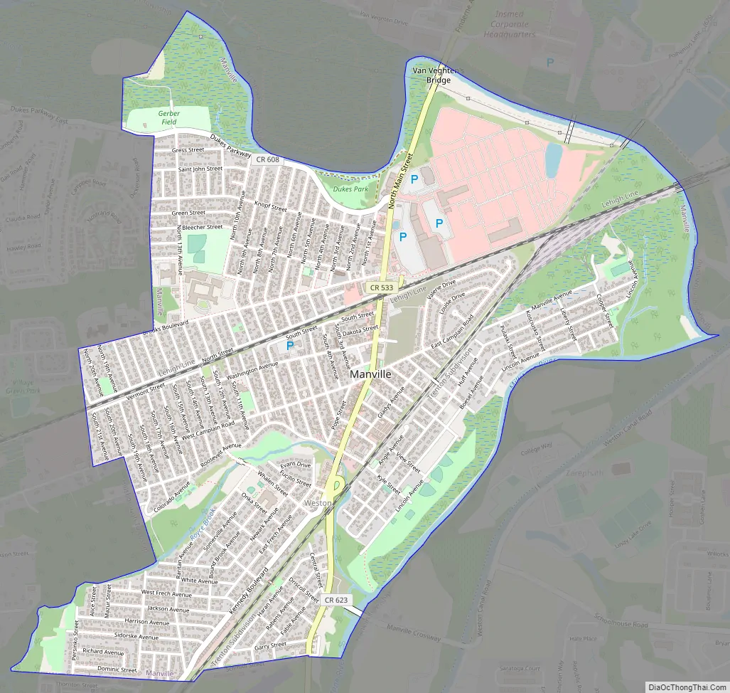
Online Interactive Map
Click on ![]() to view map in "full screen" mode.
to view map in "full screen" mode.
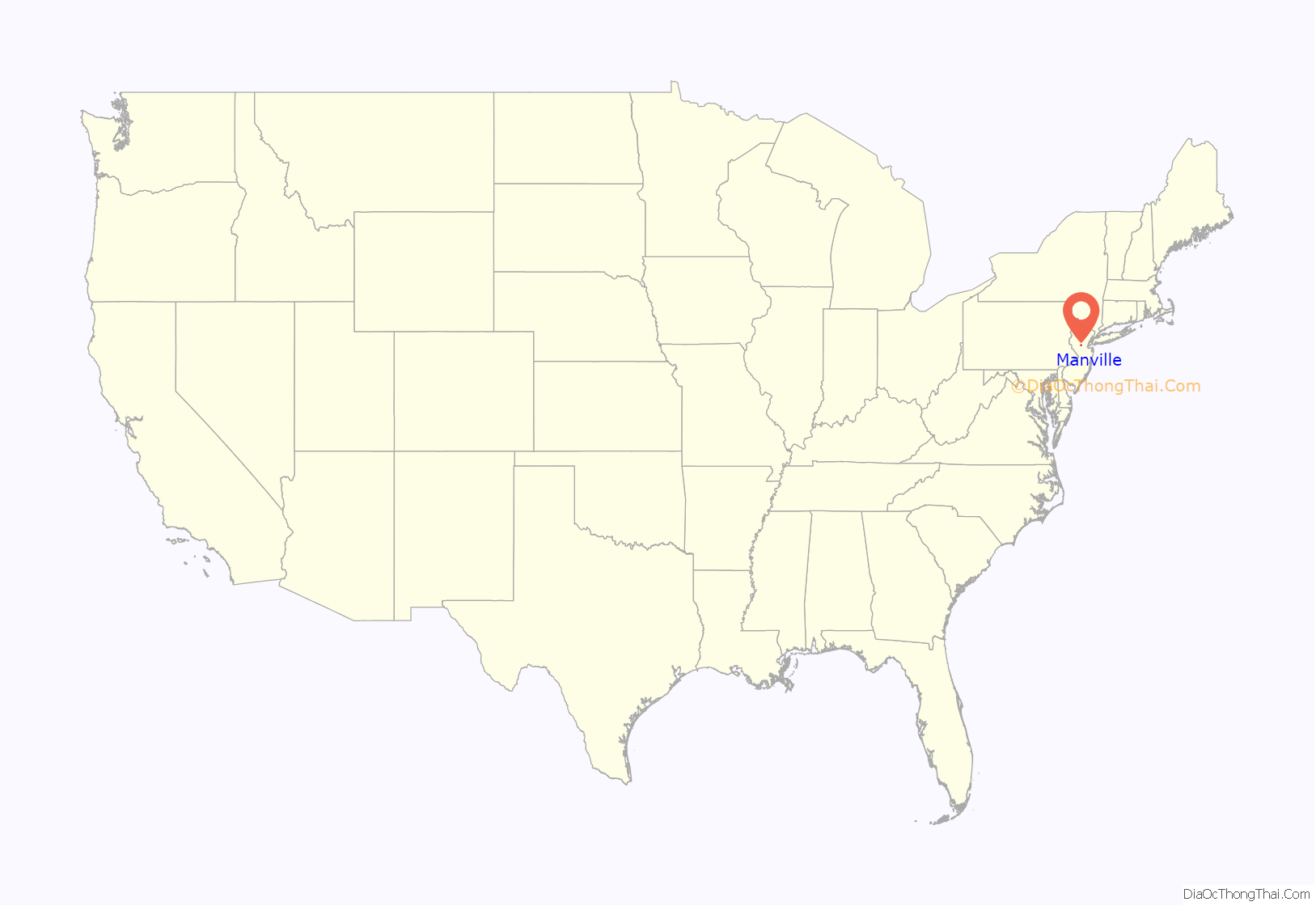
Manville location map. Where is Manville borough?
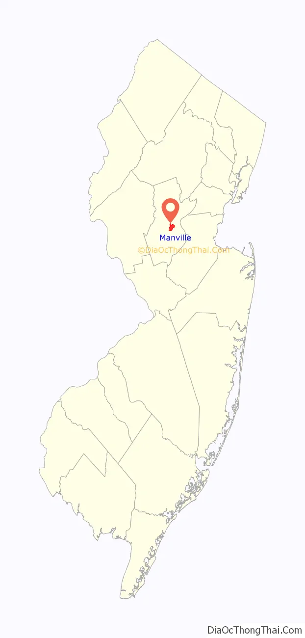
Manville Road Map
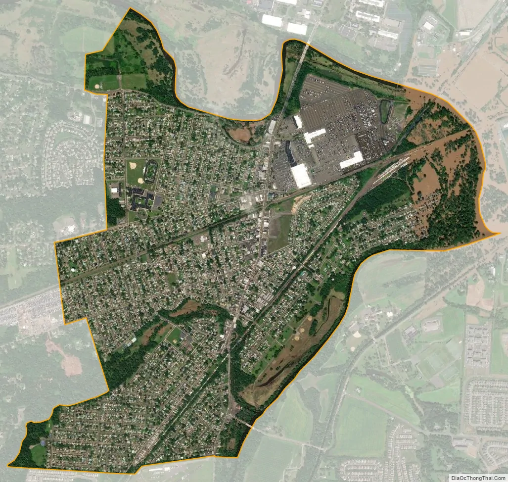
Manville city Satellite Map
Geography
According to the United States Census Bureau, the borough had a total area of 2.45 square miles (6.34 km), including 2.36 square miles (6.11 km) of land and 0.09 square miles (0.23 km) of water (3.59%).
Unincorporated communities, localities and place names located partially or completely within the borough include Millsboro.
The borough borders Bridgewater Township, Franklin Township and Hillsborough Township.
Much of Manville is in a low-lying flood plain and is surrounded by rivers and streams on all but the western side which borders neighboring Hillsborough Township by land. The Raritan River forms the northern boundary of the borough and is met by the Millstone River which forms the eastern boundary of the borough, where a weir exists at the confluence of the rivers which is used for water intake purposes by New Jersey American Water.
Ecology
According to the A. W. Kuchler U.S. potential natural vegetation types, Manville would have an Appalachian Oak (104) vegetation type with an Eastern Hardwood Forest (25) vegetation form.
See also
Map of New Jersey State and its subdivision: Map of other states:- Alabama
- Alaska
- Arizona
- Arkansas
- California
- Colorado
- Connecticut
- Delaware
- District of Columbia
- Florida
- Georgia
- Hawaii
- Idaho
- Illinois
- Indiana
- Iowa
- Kansas
- Kentucky
- Louisiana
- Maine
- Maryland
- Massachusetts
- Michigan
- Minnesota
- Mississippi
- Missouri
- Montana
- Nebraska
- Nevada
- New Hampshire
- New Jersey
- New Mexico
- New York
- North Carolina
- North Dakota
- Ohio
- Oklahoma
- Oregon
- Pennsylvania
- Rhode Island
- South Carolina
- South Dakota
- Tennessee
- Texas
- Utah
- Vermont
- Virginia
- Washington
- West Virginia
- Wisconsin
- Wyoming


