Marlton is a census-designated place (CDP) located within Evesham Township in Burlington County, in the U.S. state of New Jersey. As of the 2020 United States Census, the CDP had a population of 10,594 residents, reflecting a 4.5% increase from the 10,133 enumerated at the 2010 U.S. Census, in turn a 1.2% decrease from the 10,260 counted at the 2000 census.
While Marlton represents only a small part of Evesham Township, many people colloquially use refer to the entire township as Marlton.
| Name: | Marlton CDP |
|---|---|
| LSAD Code: | 57 |
| LSAD Description: | CDP (suffix) |
| State: | New Jersey |
| County: | Burlington County |
| Founded: | 1676 |
| Elevation: | 95 ft (29 m) |
| Total Area: | 3.31 sq mi (8.57 km²) |
| Land Area: | 3.30 sq mi (8.55 km²) |
| Water Area: | 0.01 sq mi (0.02 km²) 0.25% |
| Total Population: | 10,594 |
| Population Density: | 3,210.30/sq mi (1,239.52/km²) |
| ZIP code: | 08053 |
| Area code: | 856 |
| FIPS code: | 3444100 |
| GNISfeature ID: | 02390126 |
Online Interactive Map
Click on ![]() to view map in "full screen" mode.
to view map in "full screen" mode.
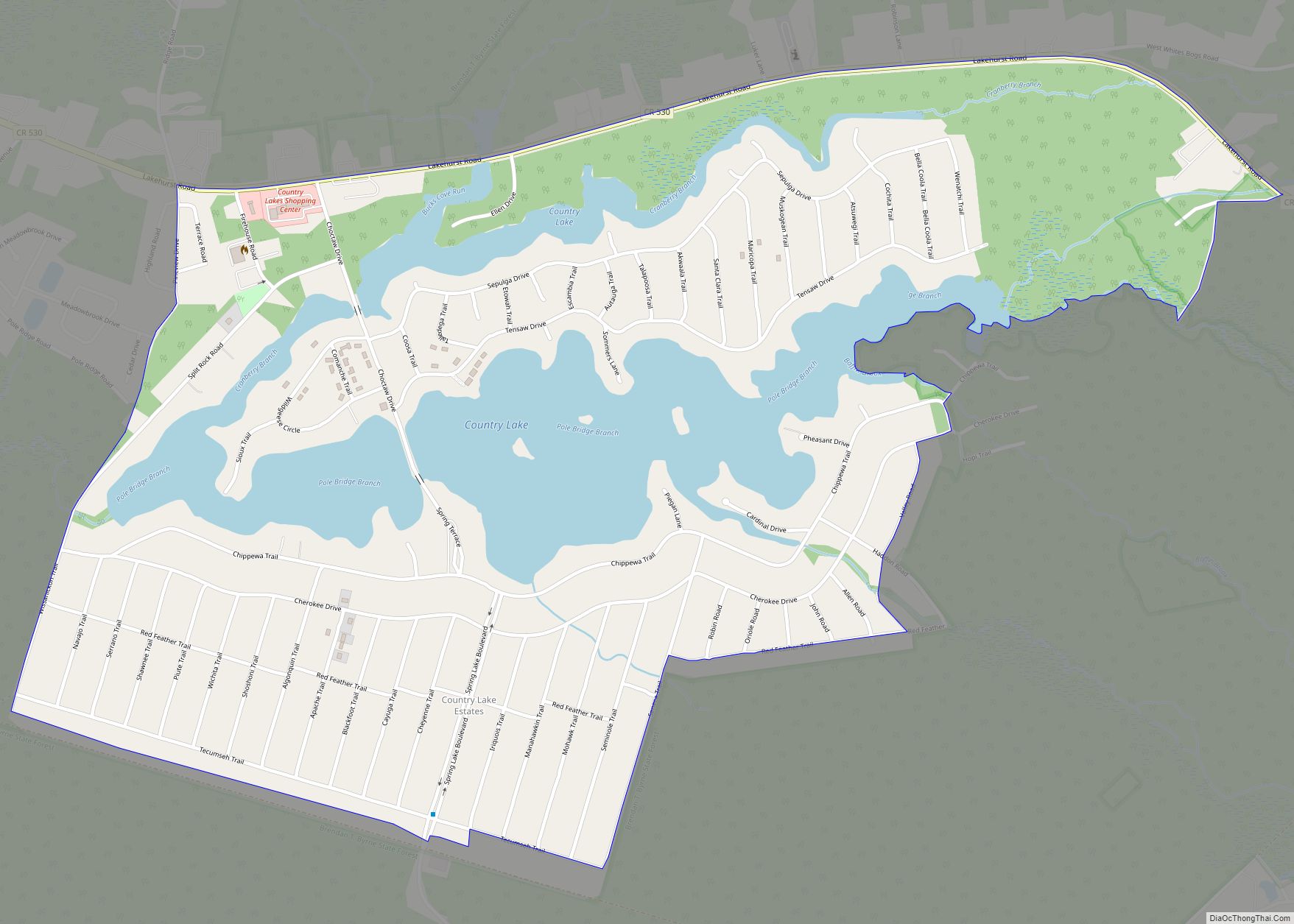
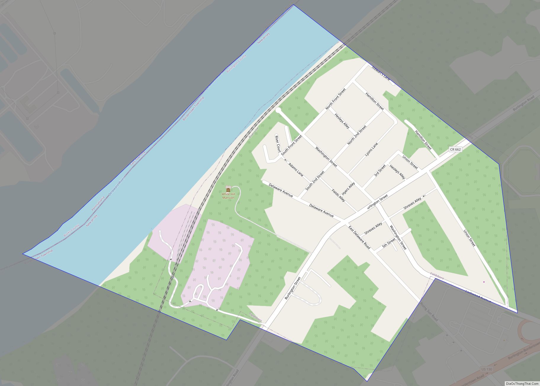
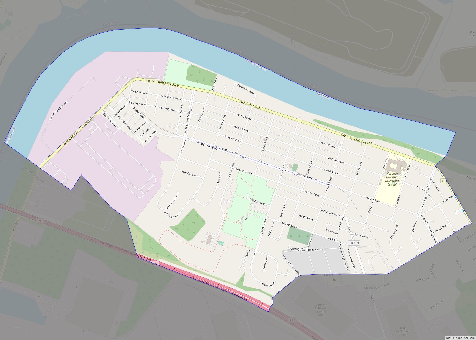
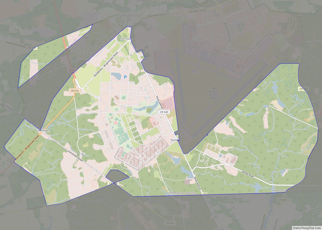
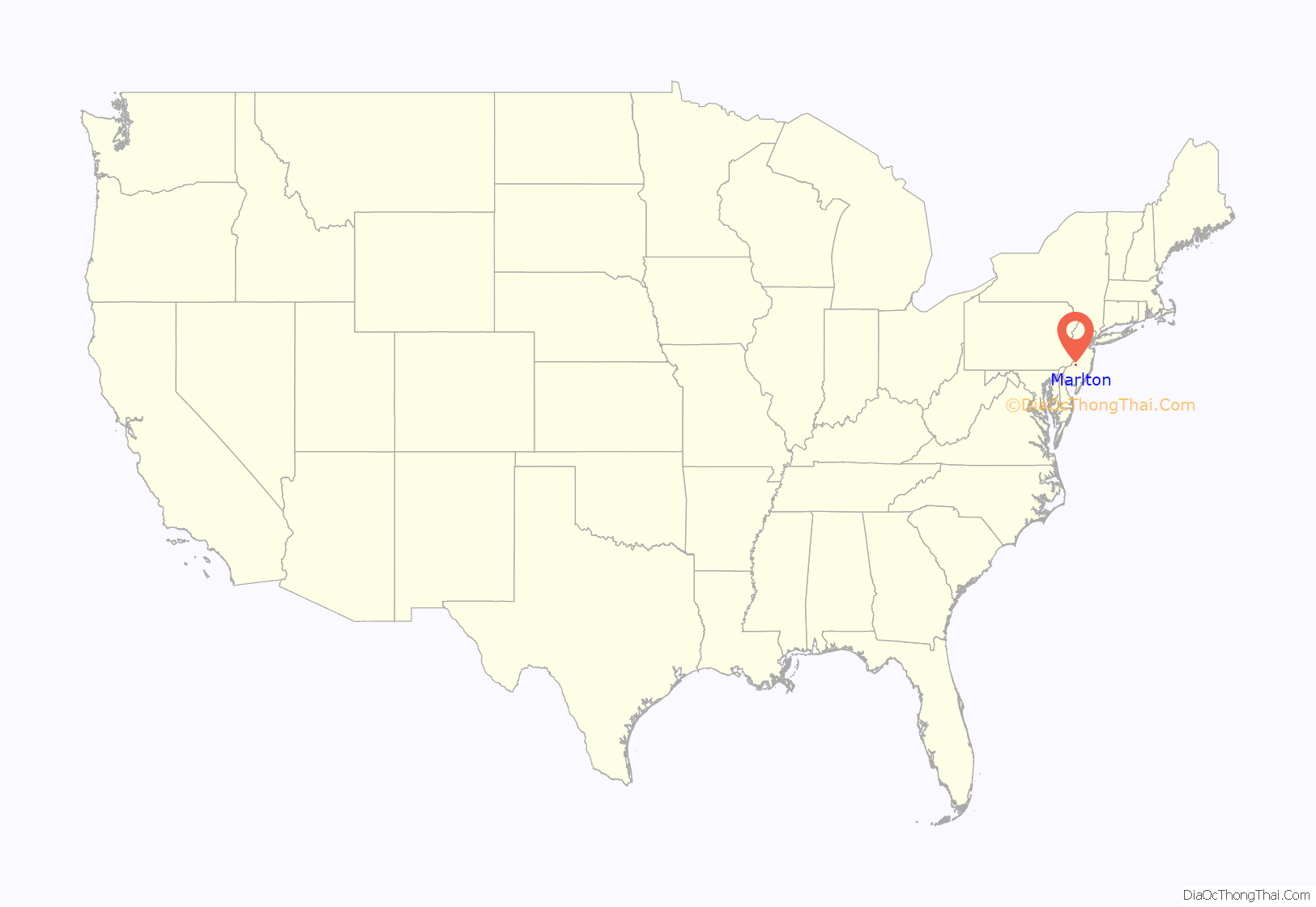
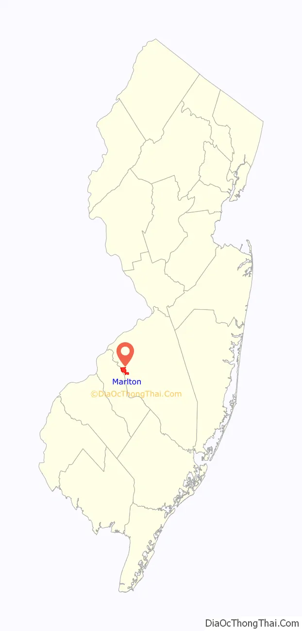
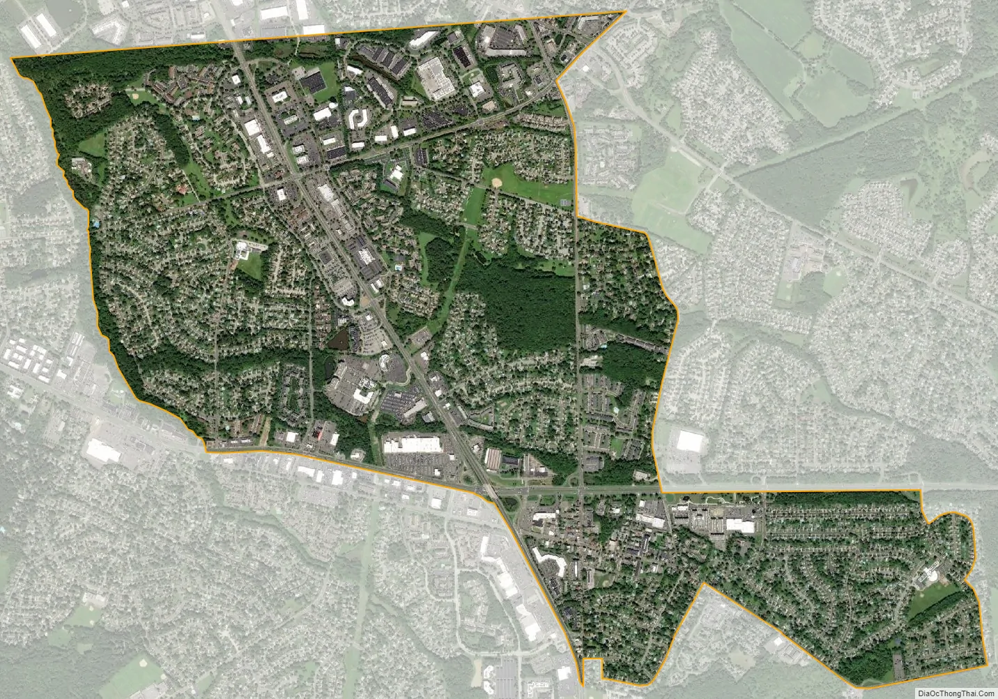
Marlton location map. Where is Marlton CDP?
History
Marlton was founded by Welsh and English farmers beginning in 1676. The name Marlton first appeared in the early 19th century. The name is derived from marl clay, which is commonly found in the local soil. The discovery of the marl content helped local business and farmers, and caused the first “building boom”, occurring in the 1830s and 1840s. Marl continued to be excavated in Marlton until 1930, when the pits were shut down. The marl was sold locally, and shipped directly, by rail to Burlington City, Philadelphia, Pennsylvania, and Atlantic City, for reshipping as an alternate for green manure, water treatment amendment, and semi-flowable fill.
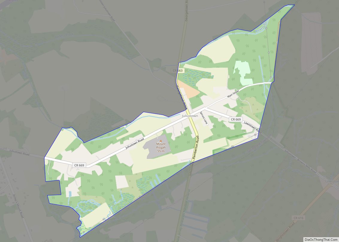
Marlton Road Map
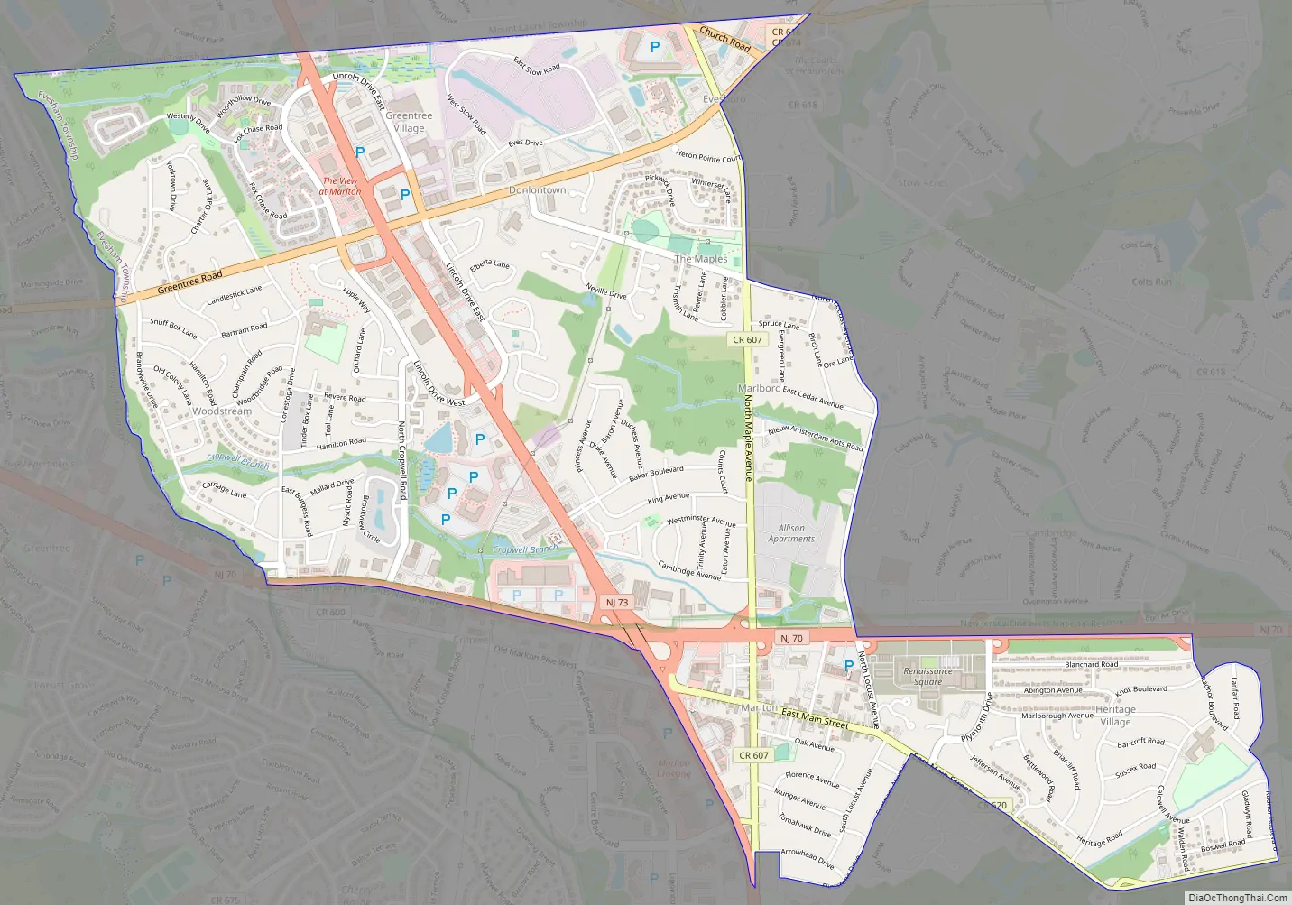
Marlton city Satellite Map
Geography
According to the U.S. Census Bureau, Marlton had a total area of 3.235 square miles (8.38 km), including 3.227 square miles (8.36 km) of it is land and 0.008 square miles (0.021 km; 5.1 acres) of water (0.25%).
See also
Map of New Jersey State and its subdivision: Map of other states:- Alabama
- Alaska
- Arizona
- Arkansas
- California
- Colorado
- Connecticut
- Delaware
- District of Columbia
- Florida
- Georgia
- Hawaii
- Idaho
- Illinois
- Indiana
- Iowa
- Kansas
- Kentucky
- Louisiana
- Maine
- Maryland
- Massachusetts
- Michigan
- Minnesota
- Mississippi
- Missouri
- Montana
- Nebraska
- Nevada
- New Hampshire
- New Jersey
- New Mexico
- New York
- North Carolina
- North Dakota
- Ohio
- Oklahoma
- Oregon
- Pennsylvania
- Rhode Island
- South Carolina
- South Dakota
- Tennessee
- Texas
- Utah
- Vermont
- Virginia
- Washington
- West Virginia
- Wisconsin
- Wyoming