Martinsville is an unincorporated community and census-designated place (CDP) located within Bridgewater Township, in Somerset County, New Jersey, United States. As of the 2010 United States Census, the CDP’s population was 11,980.
Martinsville is located in northeastern Bridgewater near Warren Township; the 08836 ZIP code also takes in the southern extension of Bernards Township. It is an affluent, predominantly residential area, though it does have its own commercial center along Washington Valley Road, and its own post office.
| Name: | Martinsville CDP |
|---|---|
| LSAD Code: | 57 |
| LSAD Description: | CDP (suffix) |
| State: | New Jersey |
| County: | Somerset County |
| Elevation: | 259 ft (79 m) |
| Total Area: | 12.23 sq mi (31.67 km²) |
| Land Area: | 12.15 sq mi (31.47 km²) |
| Water Area: | 0.07 sq mi (0.19 km²) 0.62% |
| Total Population: | 12,147 |
| Population Density: | 999.59/sq mi (385.93/km²) |
| ZIP code: | 08836 |
| Area code: | 908 |
| FIPS code: | 3444430 |
| GNISfeature ID: | 02584010 |
Online Interactive Map
Click on ![]() to view map in "full screen" mode.
to view map in "full screen" mode.
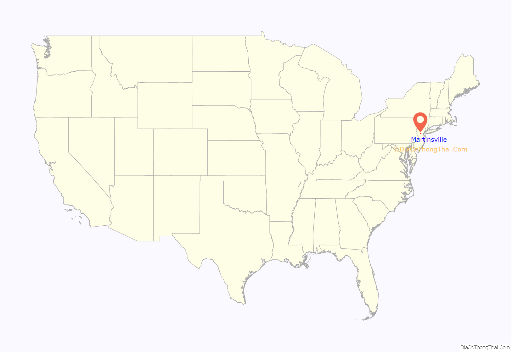
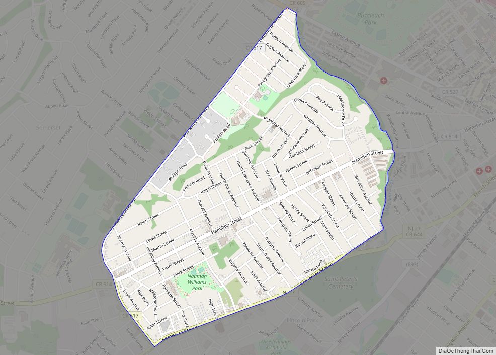
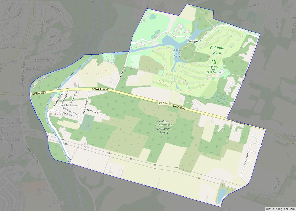
Martinsville location map. Where is Martinsville CDP?
History
The Middlebrook encampment was a seasonal encampment of the Continental Army during the American Revolutionary War near Martinsville that straddled the ridge of the First Watchung Mountains. Its position provided a natural fortress not only protecting the Continental Army, but also overlooking the plains towards New Brunswick where the British forces were stationed in 1777.
Tradition holds that it was at the Middlebrook encampment that the first official flag of the United States was unfurled, after a law to adopt a national flag had been passed by Congress on June 14, 1777. By special order of Congress, a Thirteen Star Flag is flown 24 hours a day at the Washington Camp Ground, part of the former Middlebrook encampment, in Bridgewater. Since 1889, the first hoisting of the flag is commemorated annually each July 4 with a changing of the flag, a reading of the United States Declaration of Independence, and the delivery of an historical address.
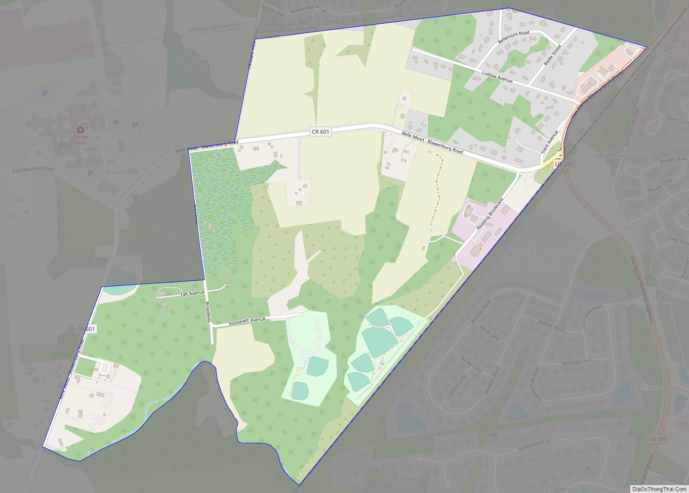
Martinsville Road Map
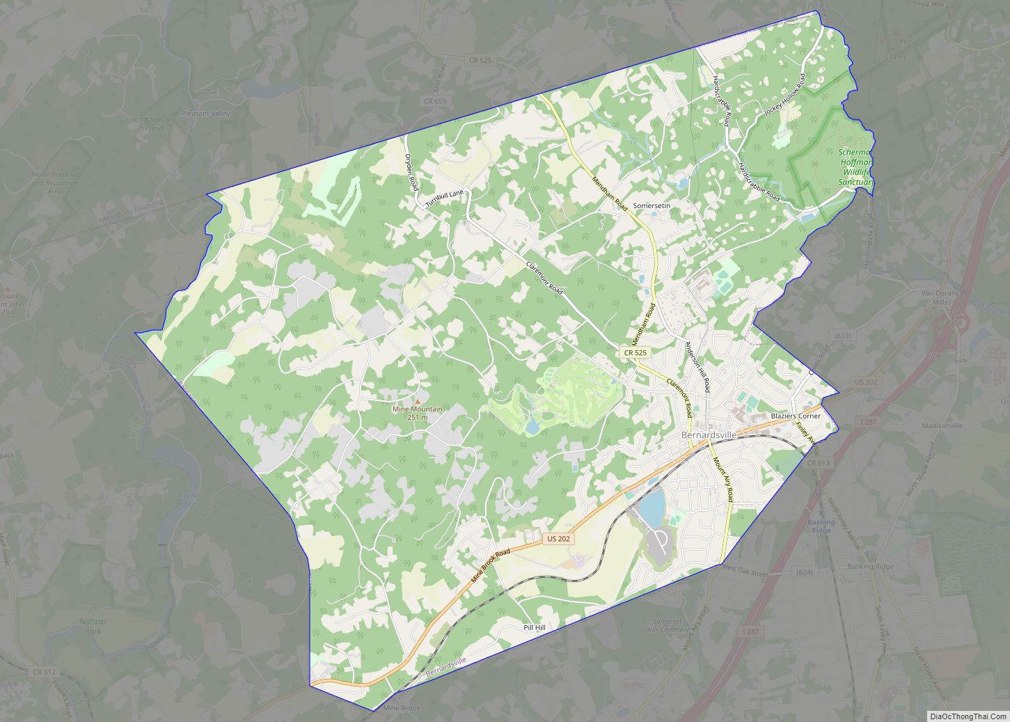
Martinsville city Satellite Map
Geography
According to the United States Census Bureau, Martinsville had a total area of 12.398 square miles (32.111 km), including 12.322 square miles (31.914 km) of land and 0.076 square miles (0.198 km) of water (0.62%).
See also
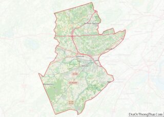
Map of New Jersey State and its subdivision: Map of other states:- Alabama
- Alaska
- Arizona
- Arkansas
- California
- Colorado
- Connecticut
- Delaware
- District of Columbia
- Florida
- Georgia
- Hawaii
- Idaho
- Illinois
- Indiana
- Iowa
- Kansas
- Kentucky
- Louisiana
- Maine
- Maryland
- Massachusetts
- Michigan
- Minnesota
- Mississippi
- Missouri
- Montana
- Nebraska
- Nevada
- New Hampshire
- New Jersey
- New Mexico
- New York
- North Carolina
- North Dakota
- Ohio
- Oklahoma
- Oregon
- Pennsylvania
- Rhode Island
- South Carolina
- South Dakota
- Tennessee
- Texas
- Utah
- Vermont
- Virginia
- Washington
- West Virginia
- Wisconsin
- Wyoming
