Middlebush is an unincorporated community and census-designated place (CDP) located in Franklin Township, in Somerset County, New Jersey, United States. As of the 2010 United States Census, the CDP’s population was 2,326. It is perhaps most distinguished as being the host section for Franklin Township’s municipal complex.
Middlebush still has a rural feel with 19th-century homes and tree-lined streets. Middlebush was once a stop on the Millstone and New Brunswick Railroad, and this legacy is evident in the street named Railroad Avenue that presently has no railroad tracks in sight.
| Name: | Middlebush CDP |
|---|---|
| LSAD Code: | 57 |
| LSAD Description: | CDP (suffix) |
| State: | New Jersey |
| County: | Somerset County |
| Elevation: | 138 ft (42 m) |
| Total Area: | 1.99 sq mi (5.16 km²) |
| Land Area: | 1.99 sq mi (5.15 km²) |
| Water Area: | 0.00 sq mi (0.00 km²) 0.07% |
| Total Population: | 2,368 |
| Population Density: | 1,189.95/sq mi (459.51/km²) |
| ZIP code: | 08873 – Somerset |
| Area code: | 609/640 and 732/848 |
| FIPS code: | 3445870 |
| GNISfeature ID: | 02584011 |
Online Interactive Map
Click on ![]() to view map in "full screen" mode.
to view map in "full screen" mode.
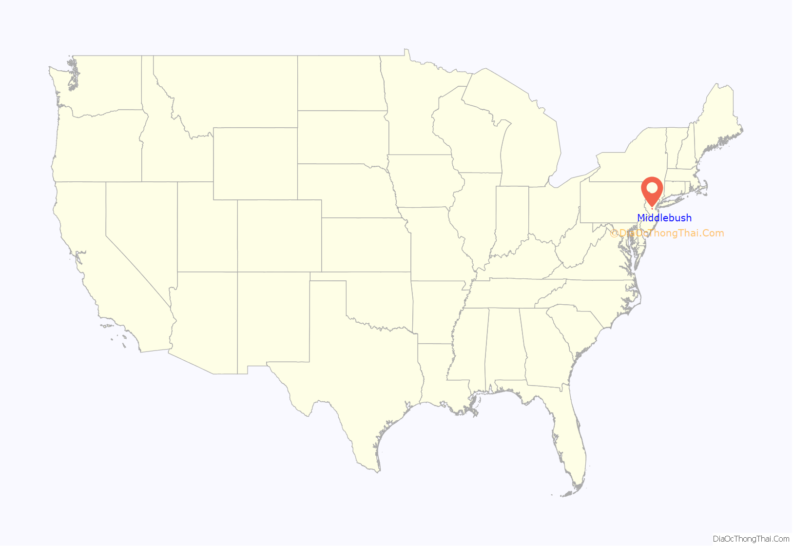
Middlebush location map. Where is Middlebush CDP?
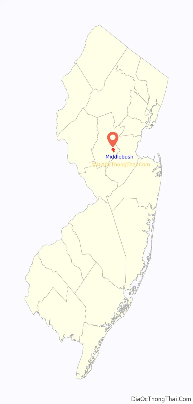
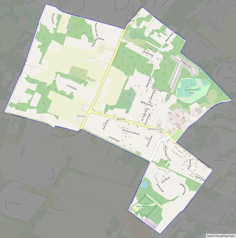
Middlebush Road Map
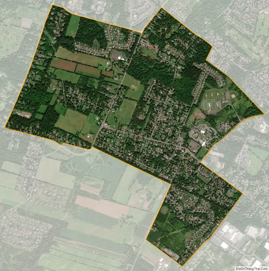
Middlebush city Satellite Map
Geography
According to the United States Census Bureau, Middlebush had a total area of 1.990 square miles (5.155 km), including 1.989 square miles (5.151 km) of land and 0.001 square miles (0.004 km) of water (0.07%).
See also
Map of New Jersey State and its subdivision: Map of other states:- Alabama
- Alaska
- Arizona
- Arkansas
- California
- Colorado
- Connecticut
- Delaware
- District of Columbia
- Florida
- Georgia
- Hawaii
- Idaho
- Illinois
- Indiana
- Iowa
- Kansas
- Kentucky
- Louisiana
- Maine
- Maryland
- Massachusetts
- Michigan
- Minnesota
- Mississippi
- Missouri
- Montana
- Nebraska
- Nevada
- New Hampshire
- New Jersey
- New Mexico
- New York
- North Carolina
- North Dakota
- Ohio
- Oklahoma
- Oregon
- Pennsylvania
- Rhode Island
- South Carolina
- South Dakota
- Tennessee
- Texas
- Utah
- Vermont
- Virginia
- Washington
- West Virginia
- Wisconsin
- Wyoming


