Milltown is a borough in Middlesex County, in the U.S. state of New Jersey. The borough is nestled within the heart of the Raritan Valley region, with Lawrence Brook (a Raritan river tributary) flowing through the center of the community. As of the 2020 United States census, the borough’s population was 7,037, an increase of 144 (+2.1%) from the 2010 census count of 6,893, which in turn reflected a decrease of 107 (−1.5%) from the 7,000 counted at the 2000 census.
Milltown was incorporated as a borough by an act of the New Jersey Legislature on January 29, 1889, from portions of North Brunswick, based on the results of a referendum held three days earlier. The borough was reincorporated by resolution of the borough council on May 2, 1896. A portion of East Brunswick Township was annexed in 1902. Originally known as Bergen’s Mill, named for Jacob I. Bergen who owned the grist mill, the name is believed to have become “Milltown” from residents “going to the mill in town”.
As of the 2000 Census, the center of population for New Jersey was located in Milltown, at Milltown Road, just east of the New Jersey Turnpike (see map of location). Based on the results of the 2010 Census, the center of population had shifted to East Brunswick.
| Name: | Milltown borough |
|---|---|
| LSAD Code: | 21 |
| LSAD Description: | borough (suffix) |
| State: | New Jersey |
| County: | Middlesex County |
| Incorporated: | January 29, 1889 |
| Elevation: | 36 ft (11 m) |
| Total Area: | 1.59 sq mi (4.13 km²) |
| Land Area: | 1.55 sq mi (4.02 km²) |
| Water Area: | 0.04 sq mi (0.11 km²) 2.56% |
| Total Population: | 7,037 |
| Population Density: | 4,528.3/sq mi (1,748.4/km²) |
| ZIP code: | 08850 |
| Area code: | 732 |
| FIPS code: | 3446620 |
| GNISfeature ID: | 0885303 |
| Website: | www.milltownnj.org |
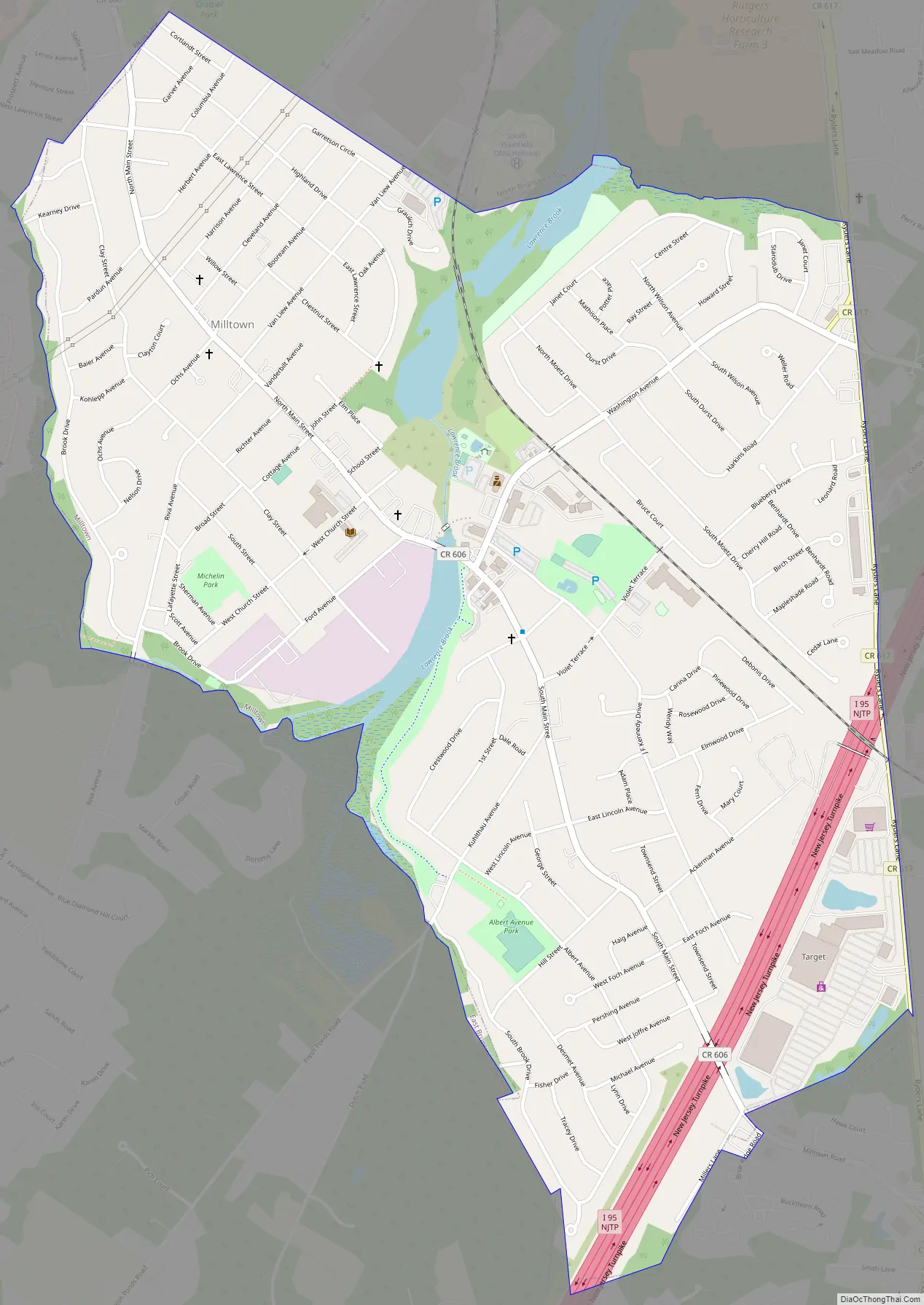
Online Interactive Map
Click on ![]() to view map in "full screen" mode.
to view map in "full screen" mode.
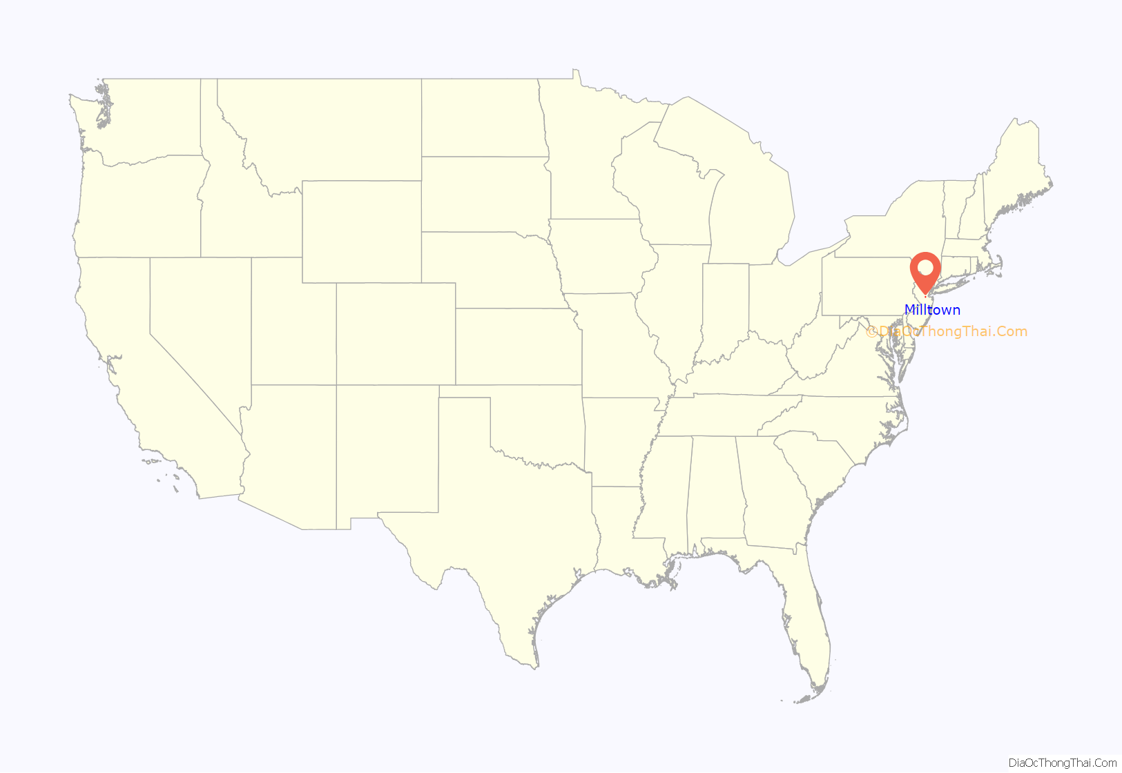
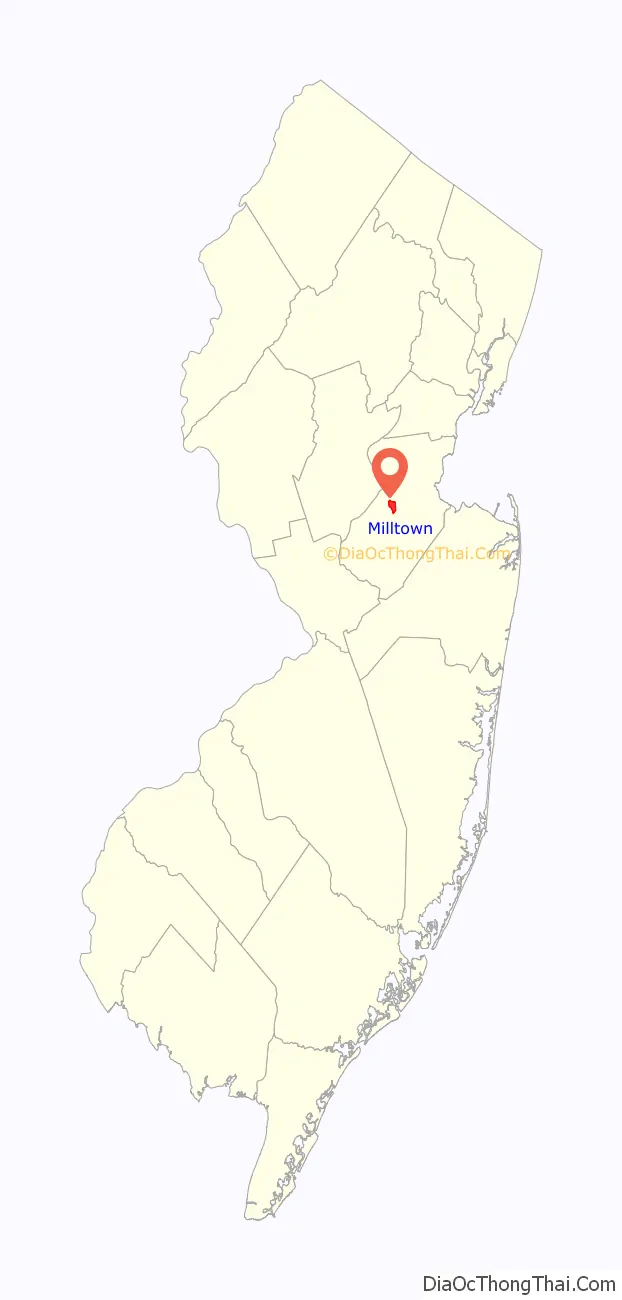
Milltown location map. Where is Milltown borough?
History
Long before the arrival of the first Europeans, the Lenape Native Americans had established settlements along the Lawrence Brook. The discovery of many artifacts in the area above today’s municipal building (now a small county park) suggests the presence of a Native American settlement. In 1678, Thomas Lawrence, a New York baker, acquired a large area around the Lawrence Brook, which likely included today’s Milltown. The Lawrence Brook was then called Piscopeek (and on later maps, Lawrence’s Brook). The names and marks of several Native Americans (Quemareck, Quesiacs, Isarick, Metapis, Peckawan and Turantaca) appear on the bill of sale. In 1769, Fulcard Van Nordstrand advertised the sale of a large gristmill on the bank of Lawrence Brook. It would soon be called Lawrence Brook Mill. The 1903 classic western film The Great Train Robbery was shot in Milltown.
Immediately after the First World War, the ‘Illustrated Michelin Guides’ to the battlefields of the Western Front were published in Milltown.
In March 2010, the Milltown City Council voted against changing the name of Petain Avenue, citing the difficulties that the street’s residents would endure if the name changed. Petain Avenue is named for Philippe Pétain, a French World War I general who became the leader of the Vichy France government during World War II. The Vichy Regime willfully collaborated with Nazi Germany, taking state action against “undesirables”, including Jews, Protestants, gays, gypsies, and left-wing activists. In total, the Vichy government participated in the deportation of 76,000 Jews to German extermination camps, although this number varies depending on the account; only 2,500 survived the war. After the war, Petain was charged with perjury and sentenced to death, though this was commuted to life imprisonment due to his advanced age. By contrast, in France itself, the French government has since changed the name of every street formerly named after Petain.
The groundbreaking anxiolytic and sedative drug Miltown (meprobamate) developed by Carter Products, which became available to the public in the mid-1950s, was named for the borough.
Milltown Road Map
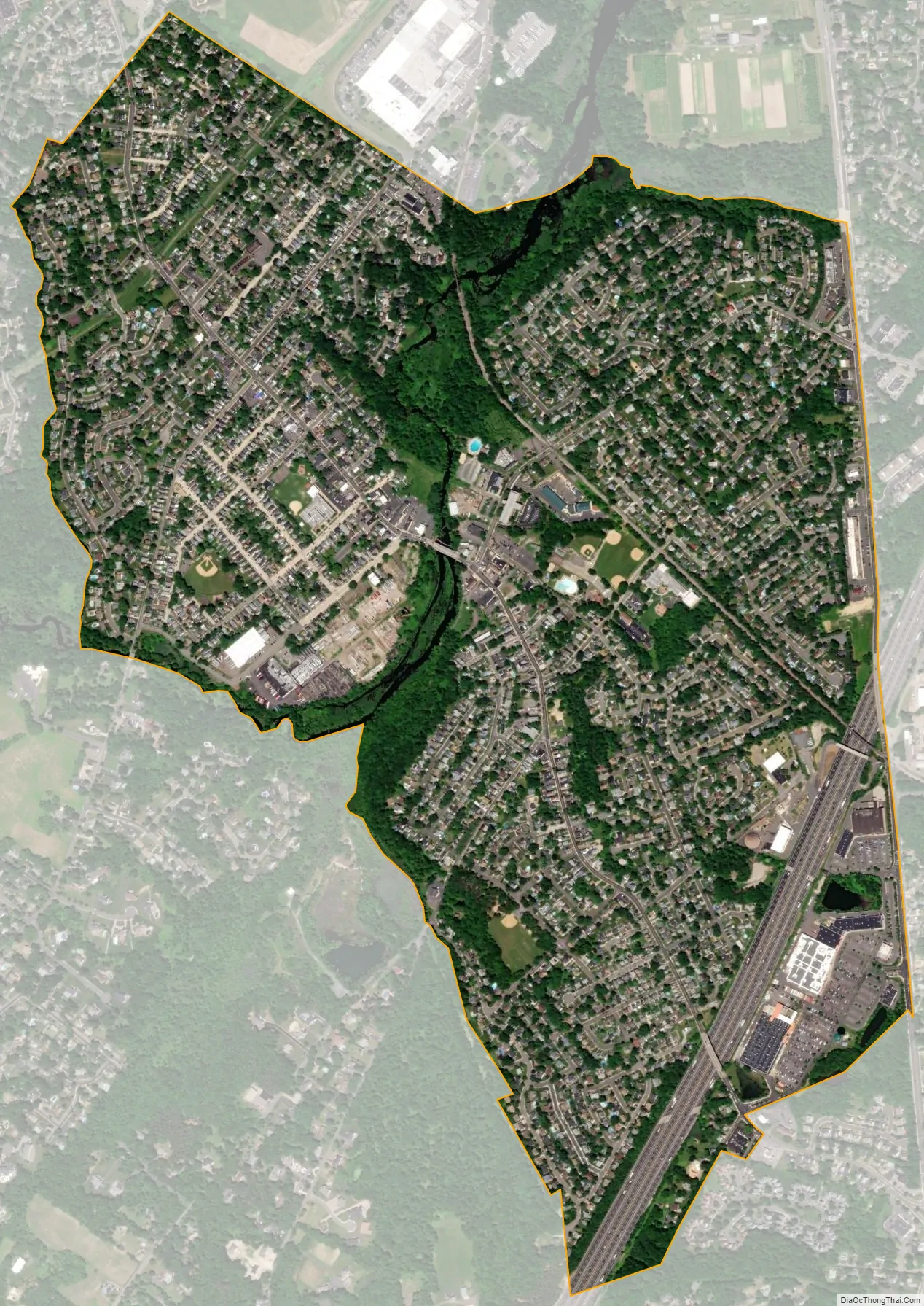
Milltown city Satellite Map
Geography
According to the United States Census Bureau, the borough had a total area of 1.60 square miles (4.13 km), including 1.55 square miles (4.02 km) of land and 0.04 square miles (0.11 km) of water (2.56%).
The borough borders North Brunswick to the west and East Brunswick to the east.
The Lawrence Brook, a tributary of the Raritan River, flows through the borough after exiting the Farrington Lake; a dam, under Main Street, creates a reservoir, the Mill Pond. The brook’s watershed covers 48 square miles (120 km) that includes Milltown and East Brunswick, New Brunswick, North Brunswick and South Brunswick.
Climate
The climate in the area is characterized by hot, humid summers and generally cold winters. According to the Köppen Climate Classification system, Milltown has a humid continental climate, abbreviated “Dfa” on climate maps.
See also
Map of New Jersey State and its subdivision: Map of other states:- Alabama
- Alaska
- Arizona
- Arkansas
- California
- Colorado
- Connecticut
- Delaware
- District of Columbia
- Florida
- Georgia
- Hawaii
- Idaho
- Illinois
- Indiana
- Iowa
- Kansas
- Kentucky
- Louisiana
- Maine
- Maryland
- Massachusetts
- Michigan
- Minnesota
- Mississippi
- Missouri
- Montana
- Nebraska
- Nevada
- New Hampshire
- New Jersey
- New Mexico
- New York
- North Carolina
- North Dakota
- Ohio
- Oklahoma
- Oregon
- Pennsylvania
- Rhode Island
- South Carolina
- South Dakota
- Tennessee
- Texas
- Utah
- Vermont
- Virginia
- Washington
- West Virginia
- Wisconsin
- Wyoming


