Moorestown-Lenola is an unincorporated community and census-designated place (CDP) located within Moorestown Township in Burlington County, New Jersey, United States. As of the 2010 United States Census, the CDP’s population was 14,217.
| Name: | Moorestown-Lenola CDP |
|---|---|
| LSAD Code: | 57 |
| LSAD Description: | CDP (suffix) |
| State: | New Jersey |
| County: | Burlington County |
| Elevation: | 62 ft (19 m) |
| Total Area: | 7.11 sq mi (18.42 km²) |
| Land Area: | 7.03 sq mi (18.20 km²) |
| Water Area: | 0.09 sq mi (0.22 km²) 1.51% |
| Total Population: | 14,240 |
| Population Density: | 2,026.76/sq mi (782.51/km²) |
| ZIP code: | 08057 |
| Area code: | 856 |
| FIPS code: | 3447895 |
| GNISfeature ID: | 02389504 |
Online Interactive Map
Click on ![]() to view map in "full screen" mode.
to view map in "full screen" mode.
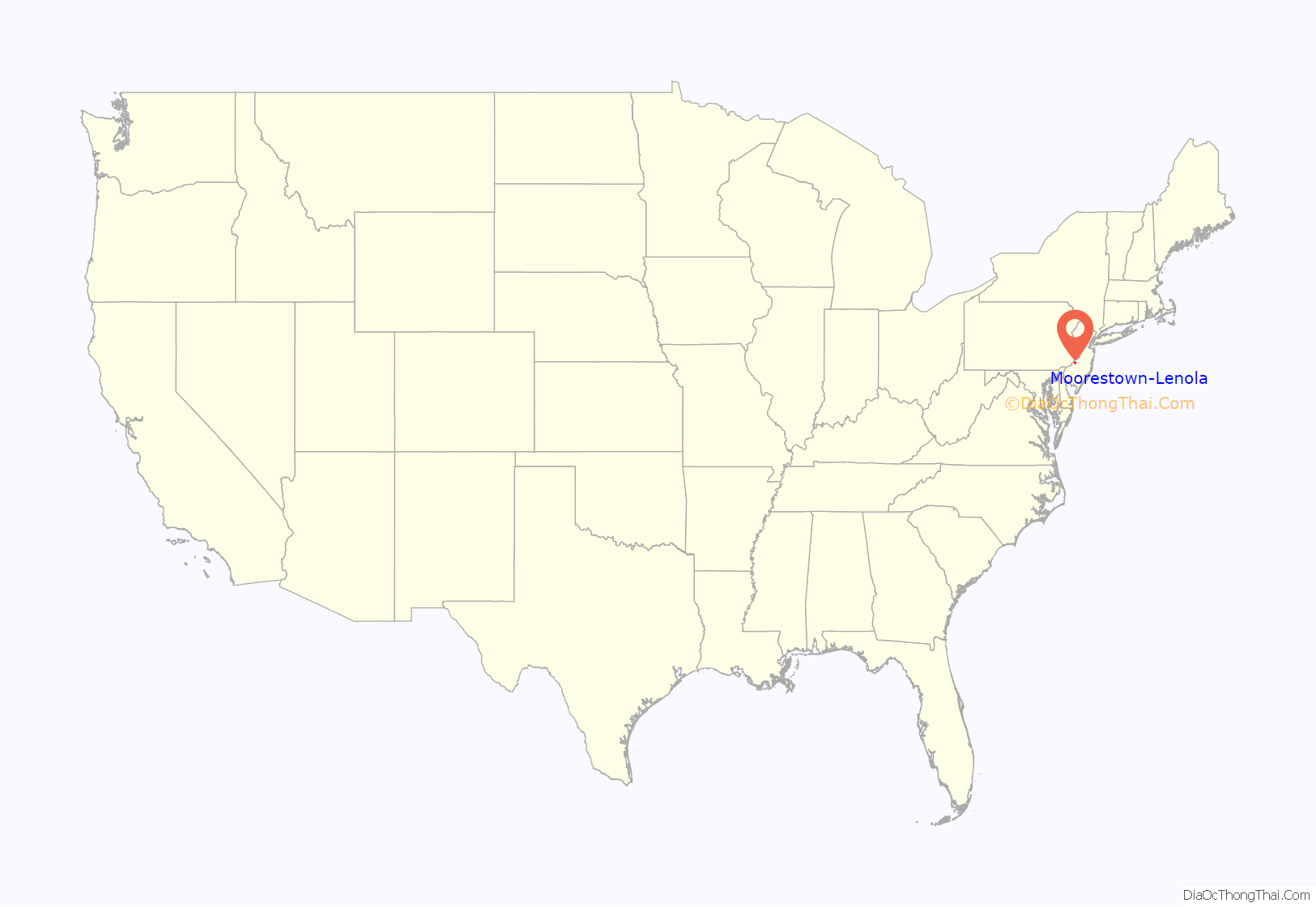
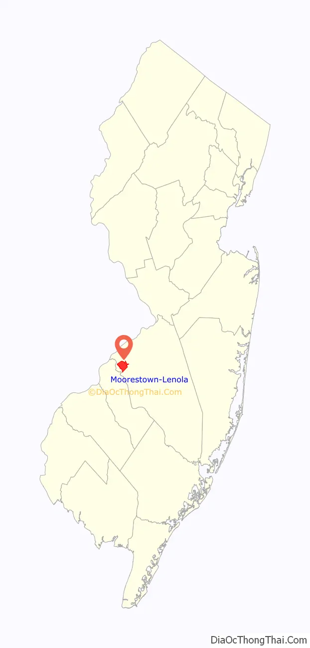
Moorestown-Lenola location map. Where is Moorestown-Lenola CDP?
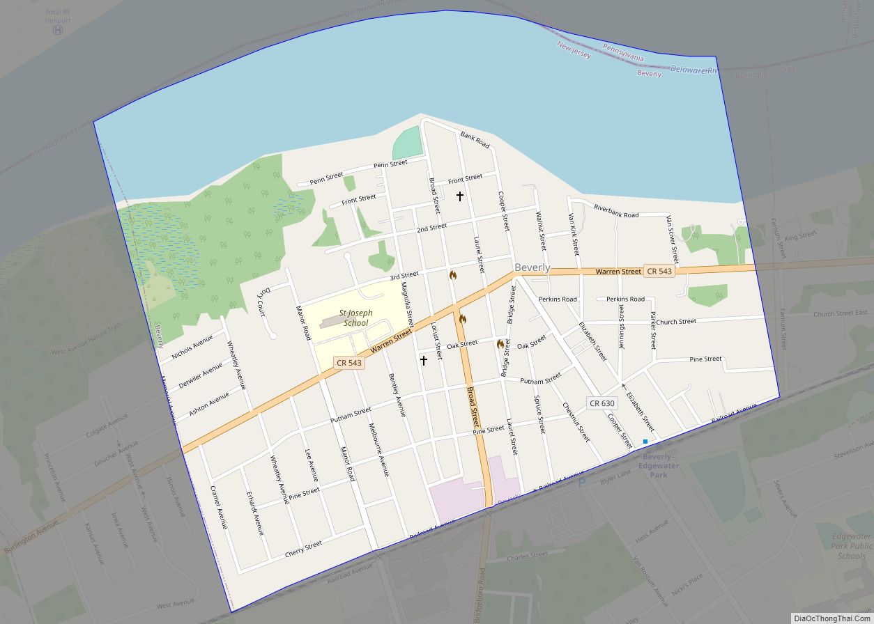
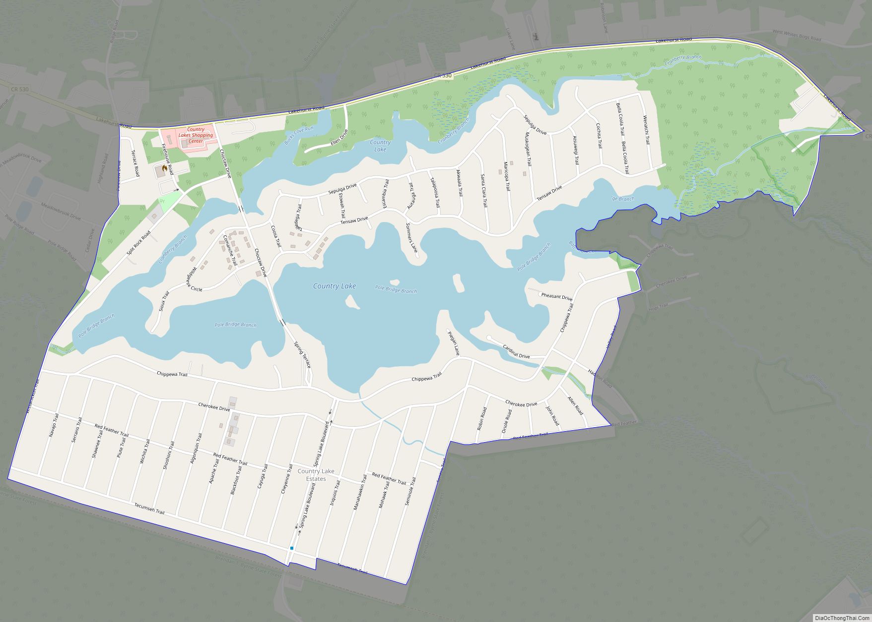
Moorestown-Lenola Road Map
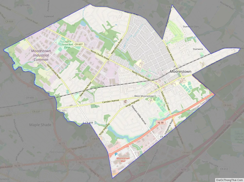
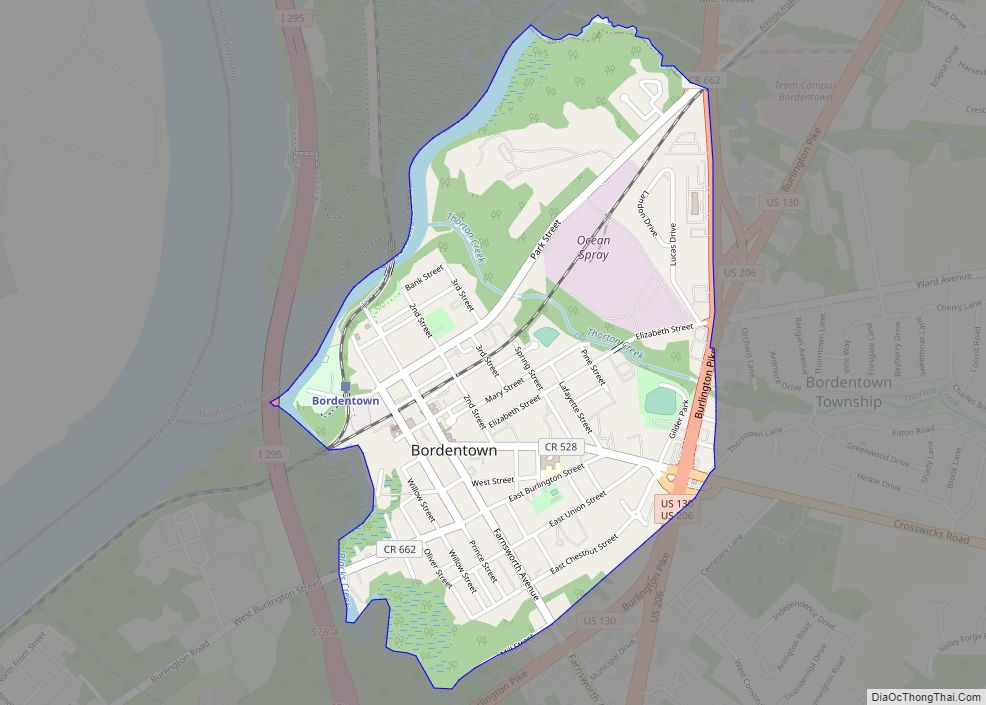
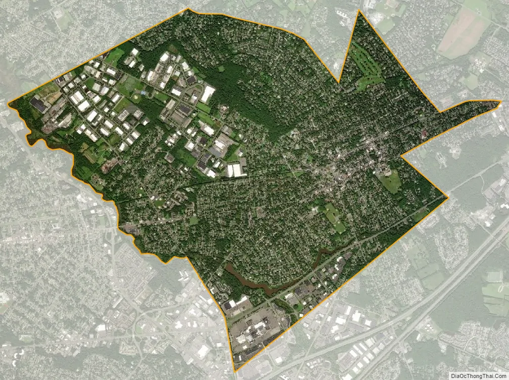
Moorestown-Lenola city Satellite Map
Geography
According to the United States Census Bureau, the CDP had a total area of 7.118 square miles (18.435 km), including 7.010 square miles (18.157 km) of land and 0.108 square miles (0.279 km) of water (1.51%).
See also
Map of New Jersey State and its subdivision: Map of other states:- Alabama
- Alaska
- Arizona
- Arkansas
- California
- Colorado
- Connecticut
- Delaware
- District of Columbia
- Florida
- Georgia
- Hawaii
- Idaho
- Illinois
- Indiana
- Iowa
- Kansas
- Kentucky
- Louisiana
- Maine
- Maryland
- Massachusetts
- Michigan
- Minnesota
- Mississippi
- Missouri
- Montana
- Nebraska
- Nevada
- New Hampshire
- New Jersey
- New Mexico
- New York
- North Carolina
- North Dakota
- Ohio
- Oklahoma
- Oregon
- Pennsylvania
- Rhode Island
- South Carolina
- South Dakota
- Tennessee
- Texas
- Utah
- Vermont
- Virginia
- Washington
- West Virginia
- Wisconsin
- Wyoming