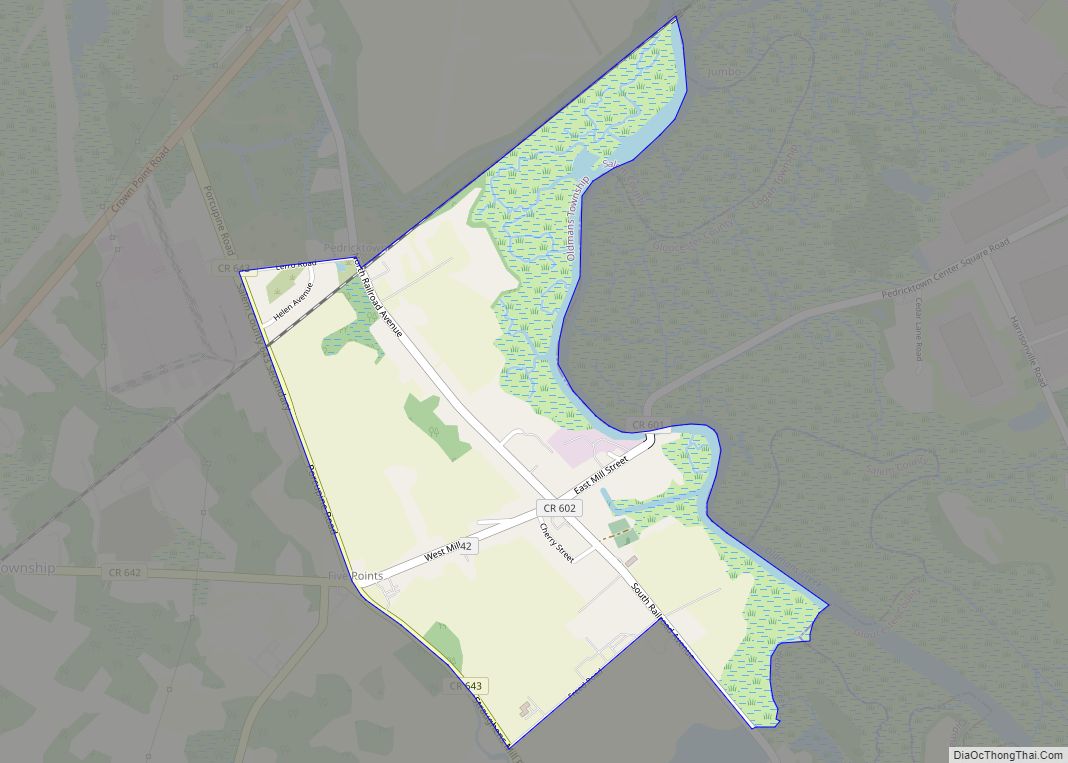
Pedricktown is an unincorporated community and census-designated place (CDP) located within Oldmans Township, in Salem County, New Jersey, United States. As of the 2010 United States Census, the CDP’s population was 524. The area is served as United States Postal Service ZIP code 08067.
| Name: | Pedricktown CDP |
|---|---|
| LSAD Code: | 57 |
| LSAD Description: | CDP (suffix) |
| State: | New Jersey |
| County: | Salem County |
| Elevation: | 10 ft (3 m) |
| Total Area: | 1.82 sq mi (4.73 km²) |
| Land Area: | 1.74 sq mi (4.51 km²) |
| Water Area: | 0.08 sq mi (0.22 km²) 0.21% |
| Total Population: | 487 |
| Population Density: | 279.56/sq mi (107.97/km²) |
| ZIP code: | 08067 |
| Area code: | 856 |
| FIPS code: | 3457360 |
| GNISfeature ID: | 02584016 |
Online Interactive Map
Click on ![]() to view map in "full screen" mode.
to view map in "full screen" mode.
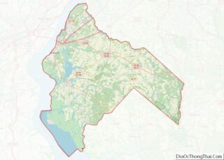
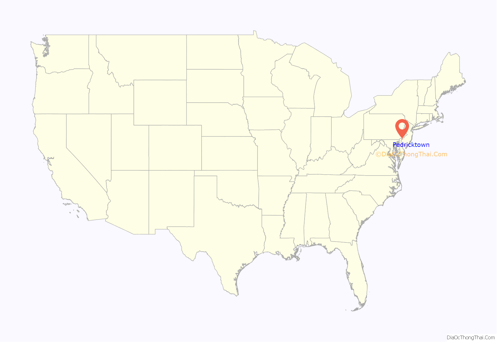
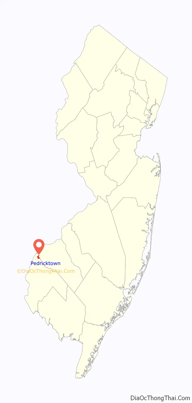
Pedricktown location map. Where is Pedricktown CDP?
History
On June 7, 1675 in Shadwell, England, Roger Pedrick and his wife Rebekah Holeman Pedrick, members of the Society of Friends, purchased a thousand acre tract of land from John Fenwick, and shortly thereafter crossed the Atlantic to be in their new home. They originally settled in Chester, Pennsylvania as their home was being built their property on the other side of the Delaware. The minutes of the “Men’s and Women’s Friends Meeting” (a Quaker group) refer to the area as “Pedricks Neck” in the 1720s and the birth records of many of Roger’s and Rebekah’s descendants list their birth place as “Pedricksburg.”
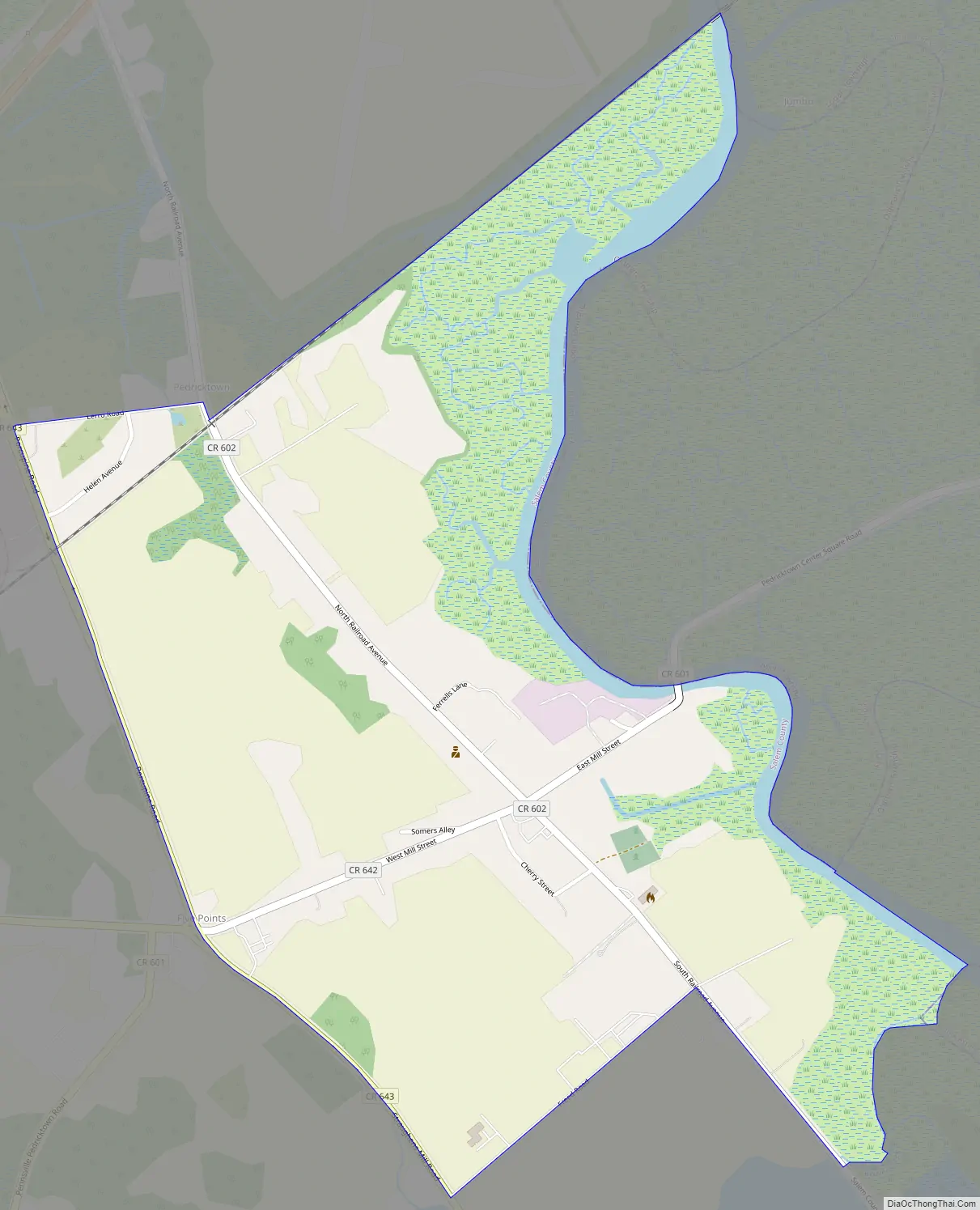
Pedricktown Road Map
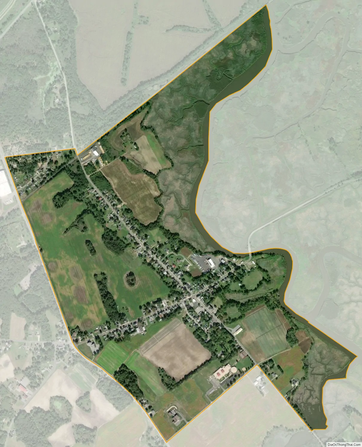
Pedricktown city Satellite Map
Geography
According to the United States Census Bureau, Pedricktown had a total area of 0.905 square miles (2.345 km), including 0.903 square miles (2.340 km) of land and 0.002 square miles (0.005 km) of water (0.21%).
See also
Map of New Jersey State and its subdivision: Map of other states:- Alabama
- Alaska
- Arizona
- Arkansas
- California
- Colorado
- Connecticut
- Delaware
- District of Columbia
- Florida
- Georgia
- Hawaii
- Idaho
- Illinois
- Indiana
- Iowa
- Kansas
- Kentucky
- Louisiana
- Maine
- Maryland
- Massachusetts
- Michigan
- Minnesota
- Mississippi
- Missouri
- Montana
- Nebraska
- Nevada
- New Hampshire
- New Jersey
- New Mexico
- New York
- North Carolina
- North Dakota
- Ohio
- Oklahoma
- Oregon
- Pennsylvania
- Rhode Island
- South Carolina
- South Dakota
- Tennessee
- Texas
- Utah
- Vermont
- Virginia
- Washington
- West Virginia
- Wisconsin
- Wyoming