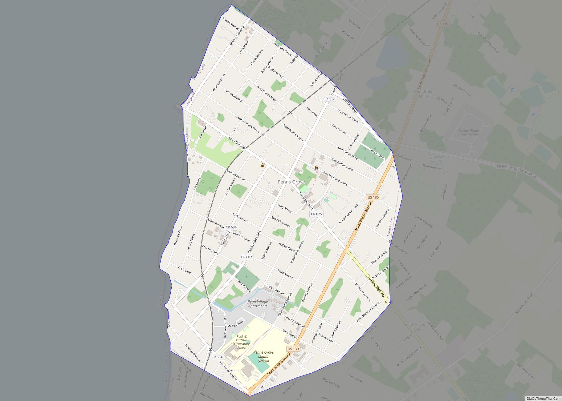
Penns Grove is a borough in Salem County, in the U.S. state of New Jersey. As of the 2020 United States census, the borough’s population was 4,837, a decrease of 310 (−6.0%) from the 2010 census count of 5,147, which in turn reflected an increase of 261 (+5.3%) from the 4,886 counted in the 2000 census.
Penns Grove had the fourth-highest property tax rate in New Jersey, with an equalized rate of 5.556% in 2020, compared to 3.476% in Salem County and a statewide average of 2.279%.
| Name: | Penns Grove borough |
|---|---|
| LSAD Code: | 21 |
| LSAD Description: | borough (suffix) |
| State: | New Jersey |
| County: | Salem County |
| Incorporated: | March 8, 1894 |
| Elevation: | 7 ft (2 m) |
| Total Area: | 0.89 sq mi (2.31 km²) |
| Land Area: | 0.89 sq mi (2.31 km²) |
| Water Area: | 0.00 sq mi (0.00 km²) 0.00% |
| Total Population: | 4,837 |
| Population Density: | 5,418.8/sq mi (2,092.2/km²) |
| ZIP code: | 08069 |
| Area code: | 856 exchanges: 299, 351 |
| FIPS code: | 3457750 |
| GNISfeature ID: | 0885348 |
| Website: | www.pennsgrove-nj.org |
Online Interactive Map
Click on ![]() to view map in "full screen" mode.
to view map in "full screen" mode.
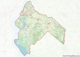
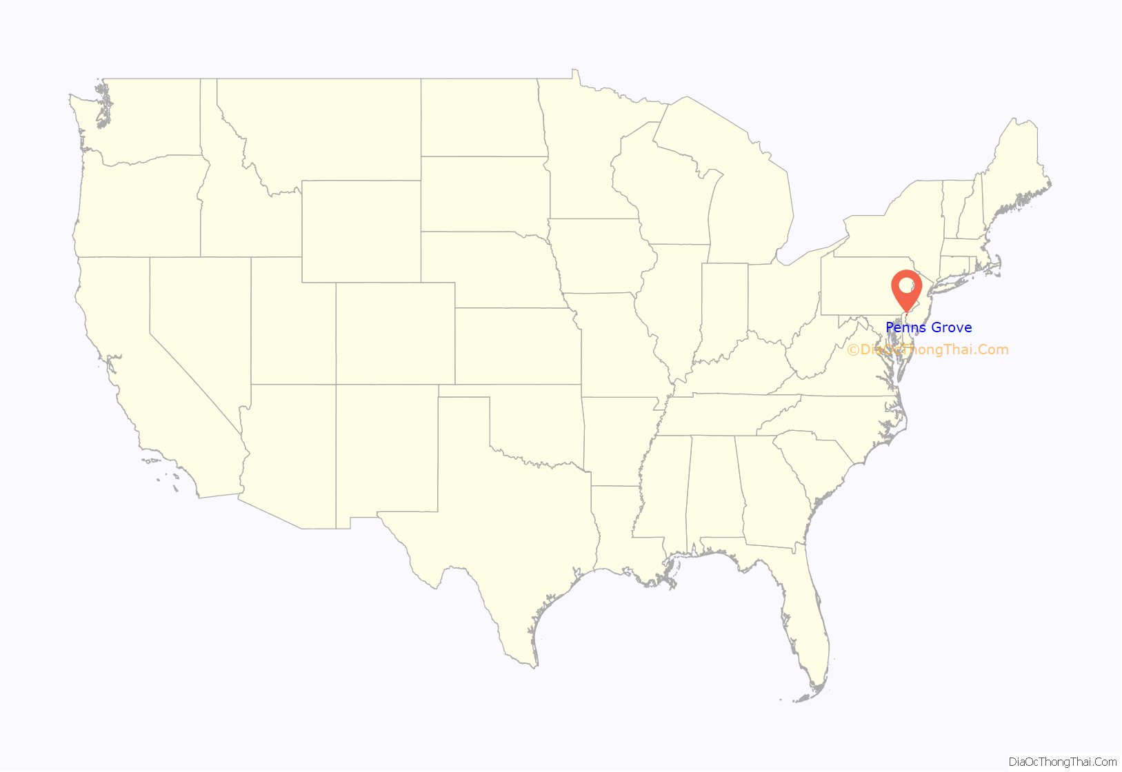
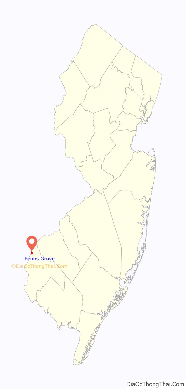
Penns Grove location map. Where is Penns Grove borough?
History
The area was long primarily agricultural. Penns Grove was incorporated as a borough by an act of the New Jersey Legislature on March 8, 1894, from portions of Upper Penns Neck Township (now Carneys Point Township), based on the results of a referendum held two days earlier. It began to industrialize around this time. The borough’s name comes from William Penn.
In the early 20th century, many Italian immigrants from Valle San Giovanni and the surrounding southern province of Teramo came to work at the local E.I. DuPont de Nemours plant in Carneys Point. Many settled on Pitman Street in Penns Grove. In 1925, the Italian community arranged to commission a copy of the statue of the Madonna and Child from the Chiesa della Madonna delle Grazie in Teramo, and had it installed in the Saint James Roman Catholic Church in Penns Grove. Other immigrants from eastern Europe also settled in the county, markedly increasing the population.
Also in the 20th century, the area became a destination for Black Americans in the Great Migration who came north for industrial jobs. Some Black Americans in the area were descended from slave families from the colonial and early federal period. Since the late 20th century, new immigrants have arrived from Central and South America, an increasing Latino minority.
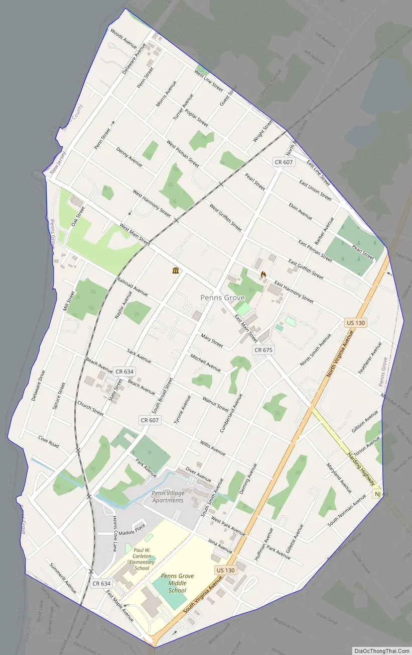
Penns Grove Road Map
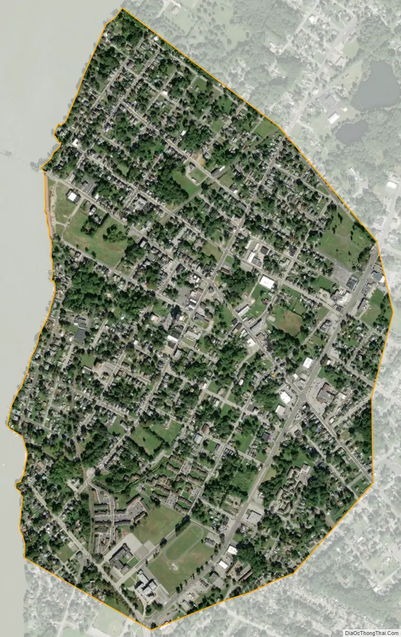
Penns Grove city Satellite Map
Geography
According to the United States Census Bureau, Penns Grove borough had a total area of 0.89 square miles (2.31 km), all of which was land.
The borough borders Carneys Point Township and the Delaware River. The borough is located across the Delaware River from Wilmington, which is part of the Delaware Valley, and 33 miles (53 km) south of Philadelphia.
See also
Map of New Jersey State and its subdivision: Map of other states:- Alabama
- Alaska
- Arizona
- Arkansas
- California
- Colorado
- Connecticut
- Delaware
- District of Columbia
- Florida
- Georgia
- Hawaii
- Idaho
- Illinois
- Indiana
- Iowa
- Kansas
- Kentucky
- Louisiana
- Maine
- Maryland
- Massachusetts
- Michigan
- Minnesota
- Mississippi
- Missouri
- Montana
- Nebraska
- Nevada
- New Hampshire
- New Jersey
- New Mexico
- New York
- North Carolina
- North Dakota
- Ohio
- Oklahoma
- Oregon
- Pennsylvania
- Rhode Island
- South Carolina
- South Dakota
- Tennessee
- Texas
- Utah
- Vermont
- Virginia
- Washington
- West Virginia
- Wisconsin
- Wyoming