Pine Hill is a borough in Camden County, in the U.S. state of New Jersey. As of the 2020 United States census, the borough’s population was 10,743, an increase of 510 (+5.0%) from the 2010 census count of 10,233, which in turn reflected a decline of 647 (−5.9%) from the 10,880 counted in the 2000 census.
Pine Hill was created on April 23, 1929, from Clementon Township, one of seven municipalities created from the now-defunct township, and one of five new municipalities, including Hi-Nella Borough, Lindenwold Borough, Pine Valley Borough, and Somerdale Borough, created on that same date. Earlier known as Mont Ararat or Clementon Heights, the name “Pine Hill” was chosen to reflects the trees and terrain of the area.
The borough of Pine Valley agreed to be absorbed into Pine Hill in 2021. The merger took effect on January 1, 2022, adding $20 million in taxable property and the famed golf course into Pine Hill. The merger of the two municipalities was the first in the state since Princeton was formed in 2011 from the former Princeton Borough and Princeton Township, New Jersey.
The borough had the 16th-highest property tax rate in New Jersey, with an equalized rate of 4.520% in 2020, compared to 3.470% in the county as a whole and a statewide average of 2.279%.
| Name: | Pine Hill borough |
|---|---|
| LSAD Code: | 21 |
| LSAD Description: | borough (suffix) |
| State: | New Jersey |
| County: | Camden County |
| Incorporated: | April 23, 1929 |
| Elevation: | 174 ft (53 m) |
| Total Area: | 4.92 sq mi (12.75 km²) |
| Land Area: | 4.87 sq mi (12.60 km²) |
| Water Area: | 0.06 sq mi (0.15 km²) 1.06% |
| Total Population: | 10,743 |
| Population Density: | 2,746.9/sq mi (1,060.6/km²) |
| ZIP code: | 08021 |
| Area code: | 856 |
| FIPS code: | 3458770 |
| GNISfeature ID: | 0885352 |
| Website: | www.pinehillboronj.com |
Online Interactive Map
Click on ![]() to view map in "full screen" mode.
to view map in "full screen" mode.
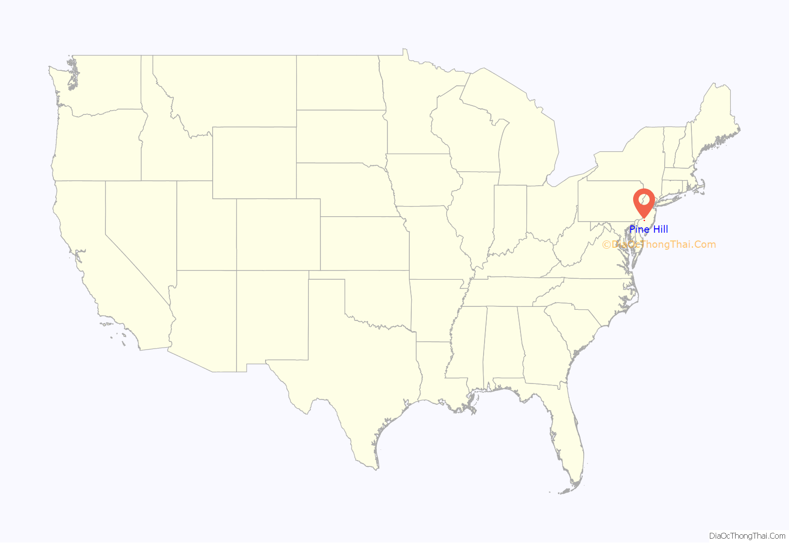
Pine Hill location map. Where is Pine Hill borough?
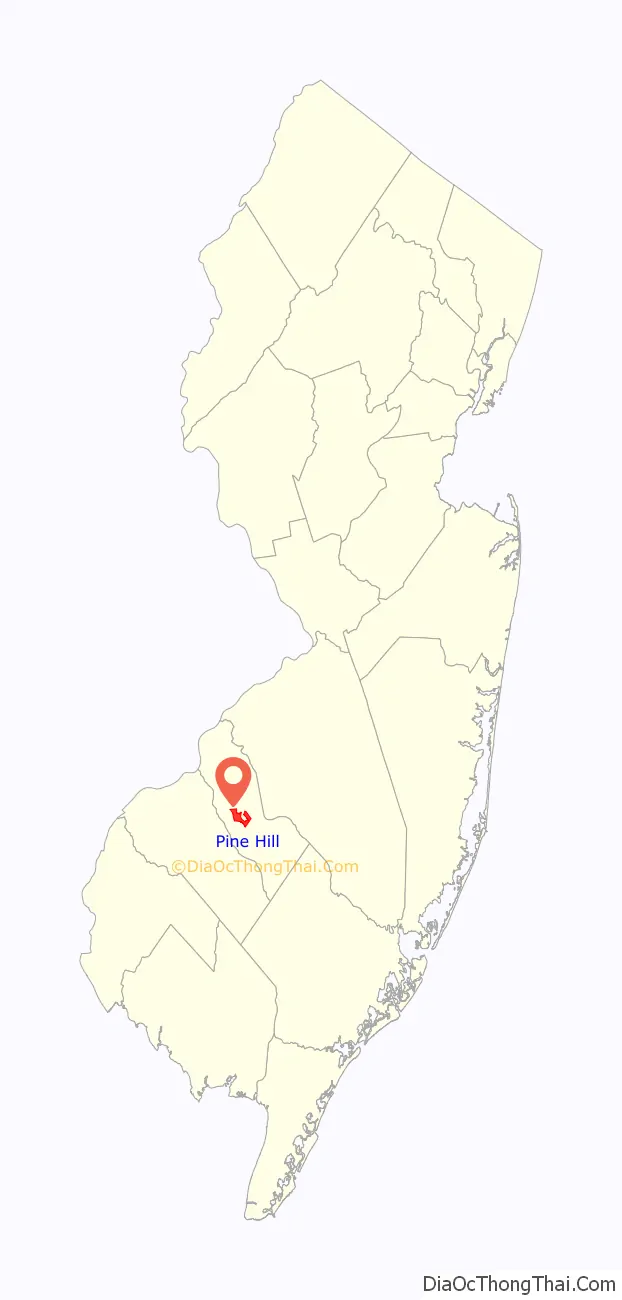
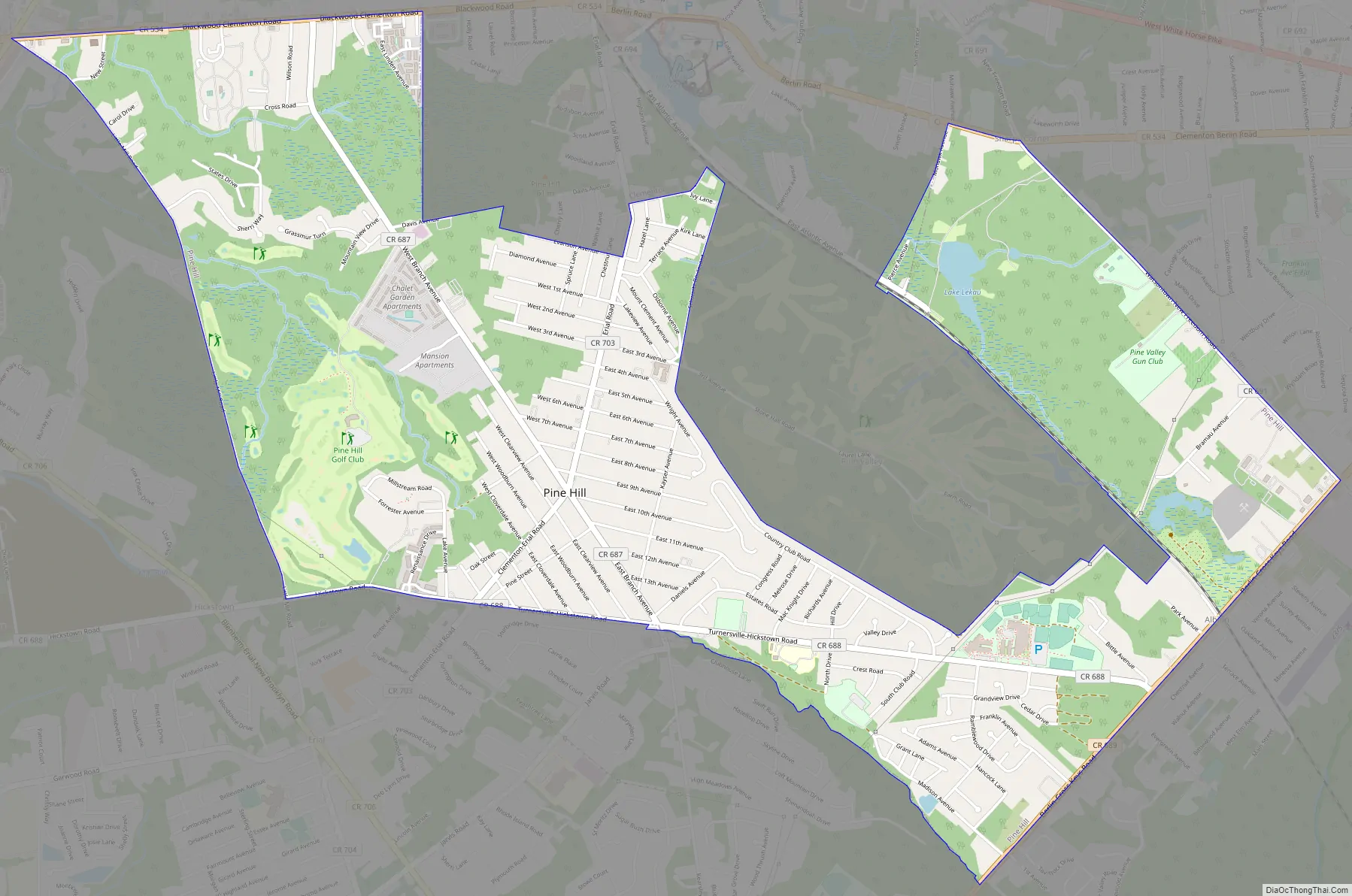
Pine Hill Road Map
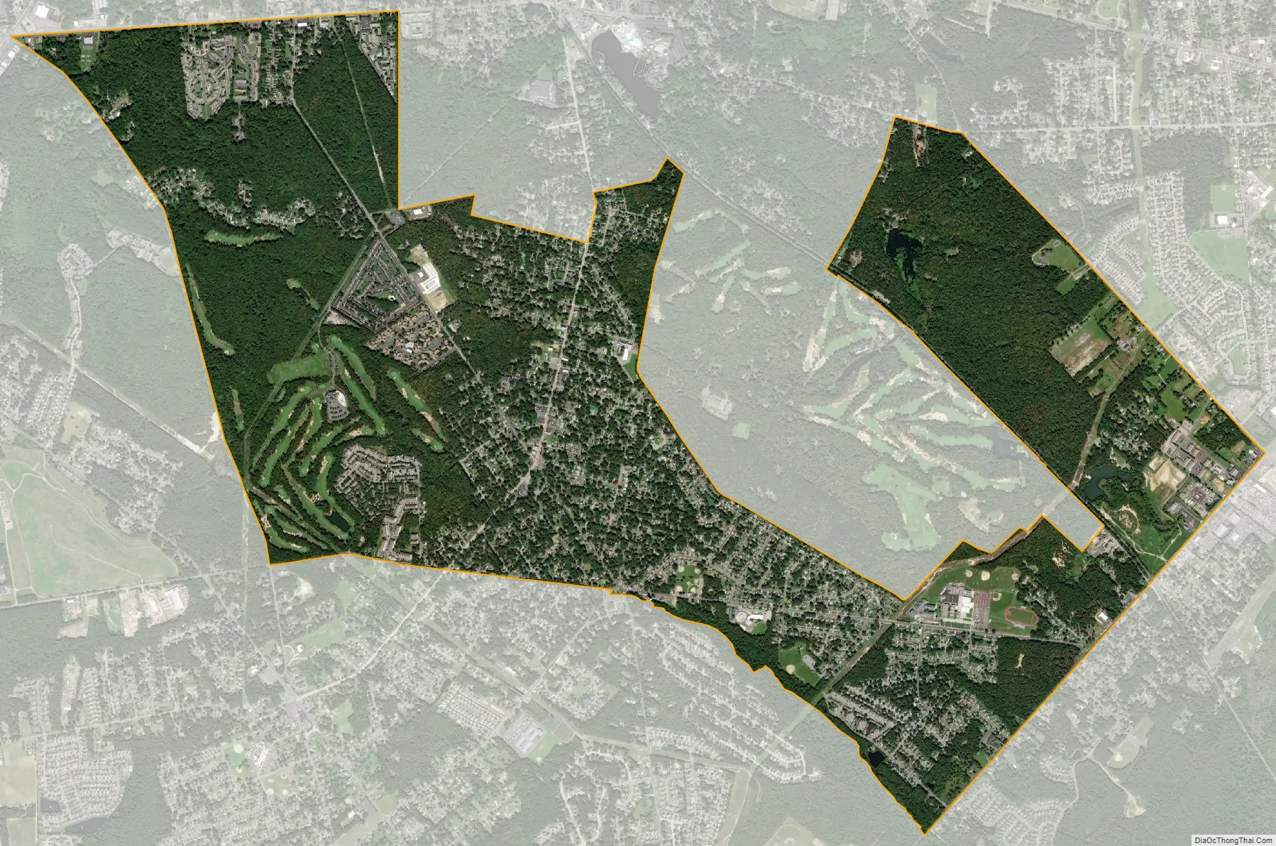
Pine Hill city Satellite Map
Geography
According to the U.S. Census Bureau, the borough had a total area of 3.95 square miles (10.24 km), including 3.91 square miles (10.13 km) of land and 0.04 square miles (0.11 km) of water (1.06%). The borough borders Berlin Borough, Clementon Borough, Gloucester Township, Lindenwold, and Winslow Township.
See also
Map of New Jersey State and its subdivision: Map of other states:- Alabama
- Alaska
- Arizona
- Arkansas
- California
- Colorado
- Connecticut
- Delaware
- District of Columbia
- Florida
- Georgia
- Hawaii
- Idaho
- Illinois
- Indiana
- Iowa
- Kansas
- Kentucky
- Louisiana
- Maine
- Maryland
- Massachusetts
- Michigan
- Minnesota
- Mississippi
- Missouri
- Montana
- Nebraska
- Nevada
- New Hampshire
- New Jersey
- New Mexico
- New York
- North Carolina
- North Dakota
- Ohio
- Oklahoma
- Oregon
- Pennsylvania
- Rhode Island
- South Carolina
- South Dakota
- Tennessee
- Texas
- Utah
- Vermont
- Virginia
- Washington
- West Virginia
- Wisconsin
- Wyoming


