Rocky Hill is a borough in Somerset County, in the U.S. state of New Jersey, named for the Rocky Hill Ridge.
As of the 2020 United States census, the borough’s population was 743, an increase of 61 (+8.9%) from the 2010 census count of 682, which in turn reflected an increase of 20 (+3.0%) from the 662 counted in the 2000 census
| Name: | Rocky Hill borough |
|---|---|
| LSAD Code: | 21 |
| LSAD Description: | borough (suffix) |
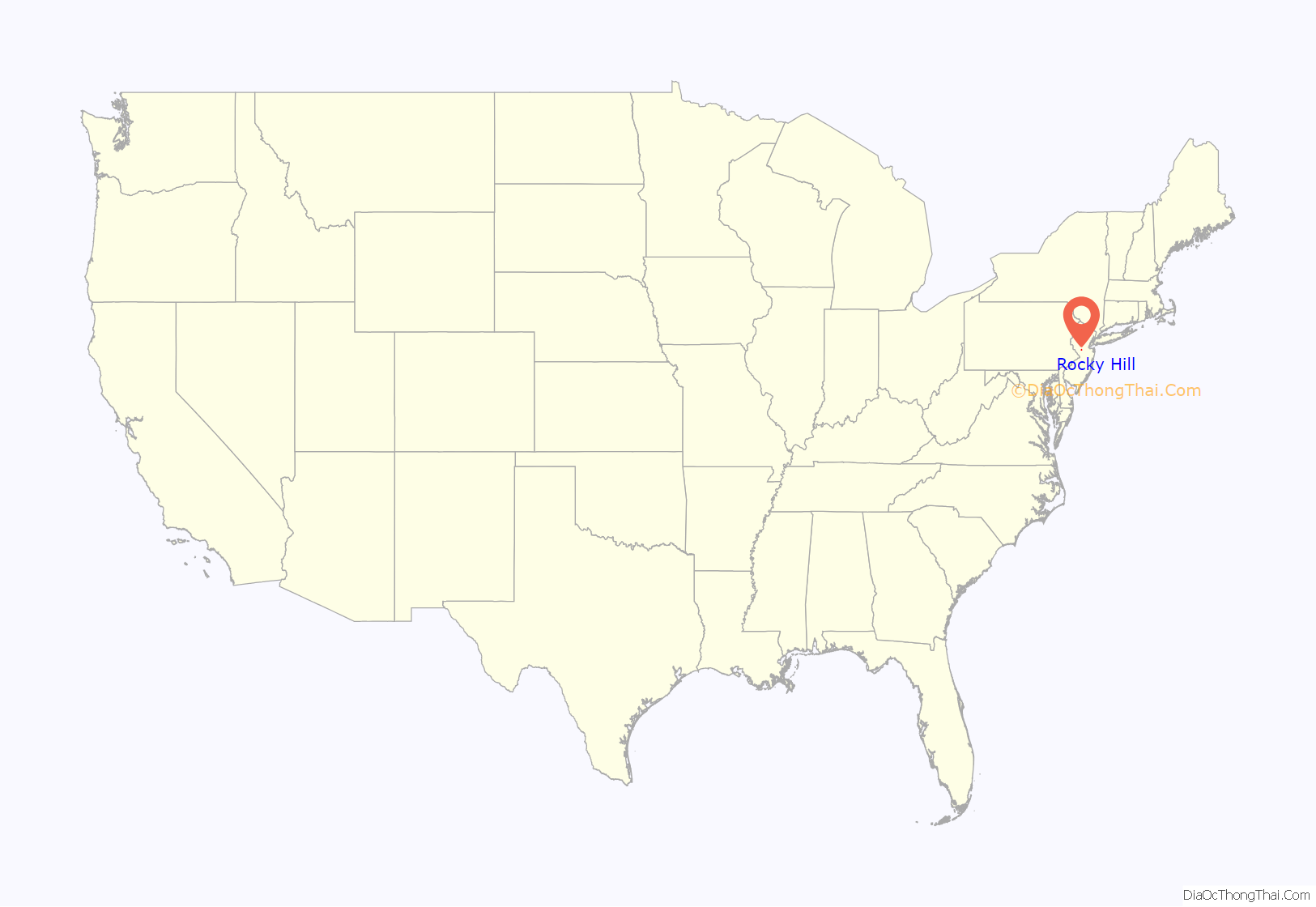
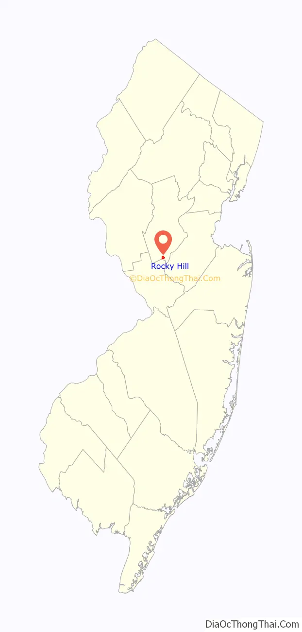
| State: | New Jersey |
| County: | Somerset County |
| Incorporated: | December 18, 1889 |
| Elevation: | 108 ft (33 m) |
| Total Area: | 0.61 sq mi (1.59 km²) |
| Land Area: | 0.61 sq mi (1.58 km²) |
| Water Area: | 0.00 sq mi (0.01 km²) 0.49% |
| Total Population: | 743 |
| Population Density: | 1,216.4/sq mi (469.7/km²) |
| ZIP code: | 08553 |
| Area code: | 609 Exchanges: 252, 279, 430, 921, 924 |
| FIPS code: | 3464320 |
| GNISfeature ID: | 0885376 |
| Website: | www.rockyhill-nj.gov |
Online Interactive Map
Click on ![]() to view map in "full screen" mode.
to view map in "full screen" mode.
Rocky Hill location map. Where is Rocky Hill borough?
History
The earliest European settlement in the area began after John Harrison negotiated the purchase of land in 1701 from the Lenni Lenape Native Americans who had long occupied the area. In 1783, during the American Revolutionary War, General George Washington camped at Rockingham, the house owned by the Berrien family; he would pass through the area again in 1789 on his way to New York City for his inauguration as President of the United States. Before roads were improved and people traveled by automobiles, it was known as the Devil’s Featherbed because it was difficult to travel the rocky terrain by horse and wagon.
Rocky Hill was incorporated as a borough by an act of the New Jersey Legislature on December 18, 1889, from portions of Montgomery Township, based on the results of a referendum held four days earlier.
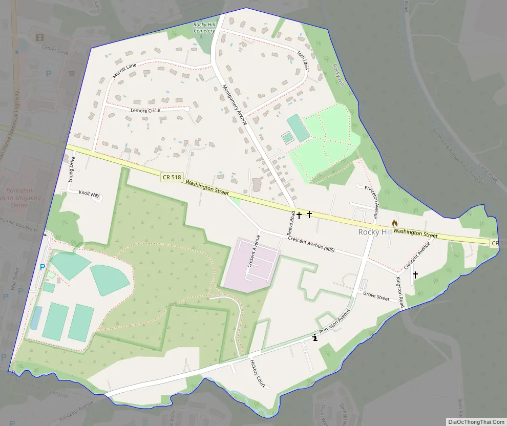
Rocky Hill Road Map
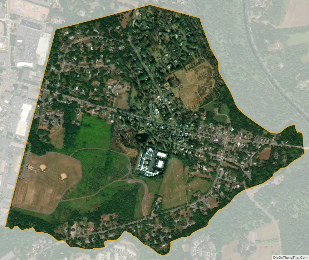
Rocky Hill city Satellite Map
Geography
According to the United States Census Bureau, the borough had a total area of 0.61 square miles (1.59 km), including 0.61 square miles (1.58 km) of land and <0.01 square miles (0.01 km) of water (0.49%). A large portion of Rocky Hill is taken up by Van Horne Park.
The borough borders the Somerset County municipalities of Franklin Township and Montgomery Township.
See also
Map of New Jersey State and its subdivision: Map of other states:- Alabama
- Alaska
- Arizona
- Arkansas
- California
- Colorado
- Connecticut
- Delaware
- District of Columbia
- Florida
- Georgia
- Hawaii
- Idaho
- Illinois
- Indiana
- Iowa
- Kansas
- Kentucky
- Louisiana
- Maine
- Maryland
- Massachusetts
- Michigan
- Minnesota
- Mississippi
- Missouri
- Montana
- Nebraska
- Nevada
- New Hampshire
- New Jersey
- New Mexico
- New York
- North Carolina
- North Dakota
- Ohio
- Oklahoma
- Oregon
- Pennsylvania
- Rhode Island
- South Carolina
- South Dakota
- Tennessee
- Texas
- Utah
- Vermont
- Virginia
- Washington
- West Virginia
- Wisconsin
- Wyoming


