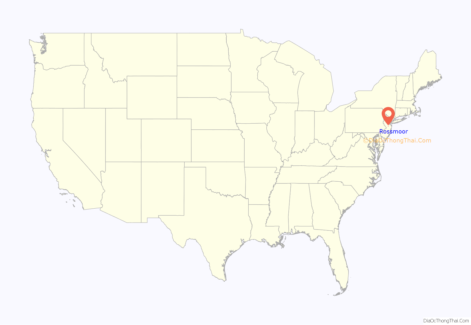
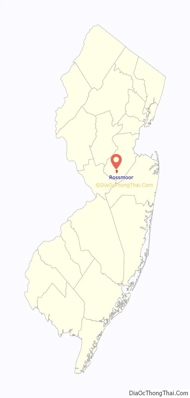
Rossmoor is an unincorporated community and census-designated place (CDP) located within Monroe Township in Middlesex County, New Jersey, United States. As of the 2010 United States Census, the CDP’s population was 2,666.
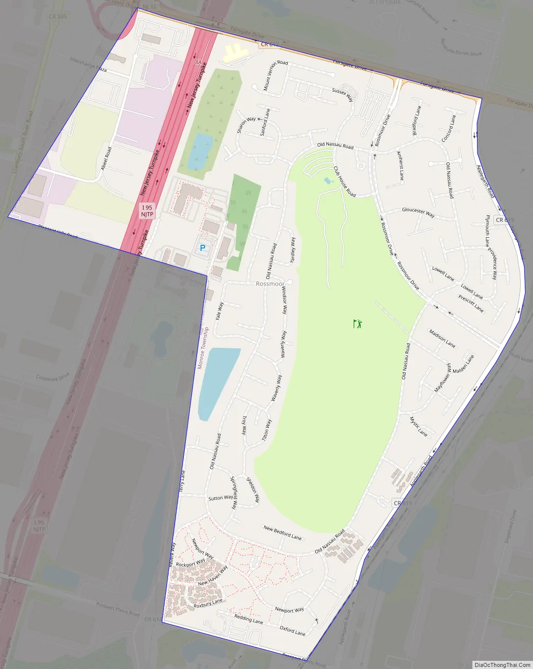
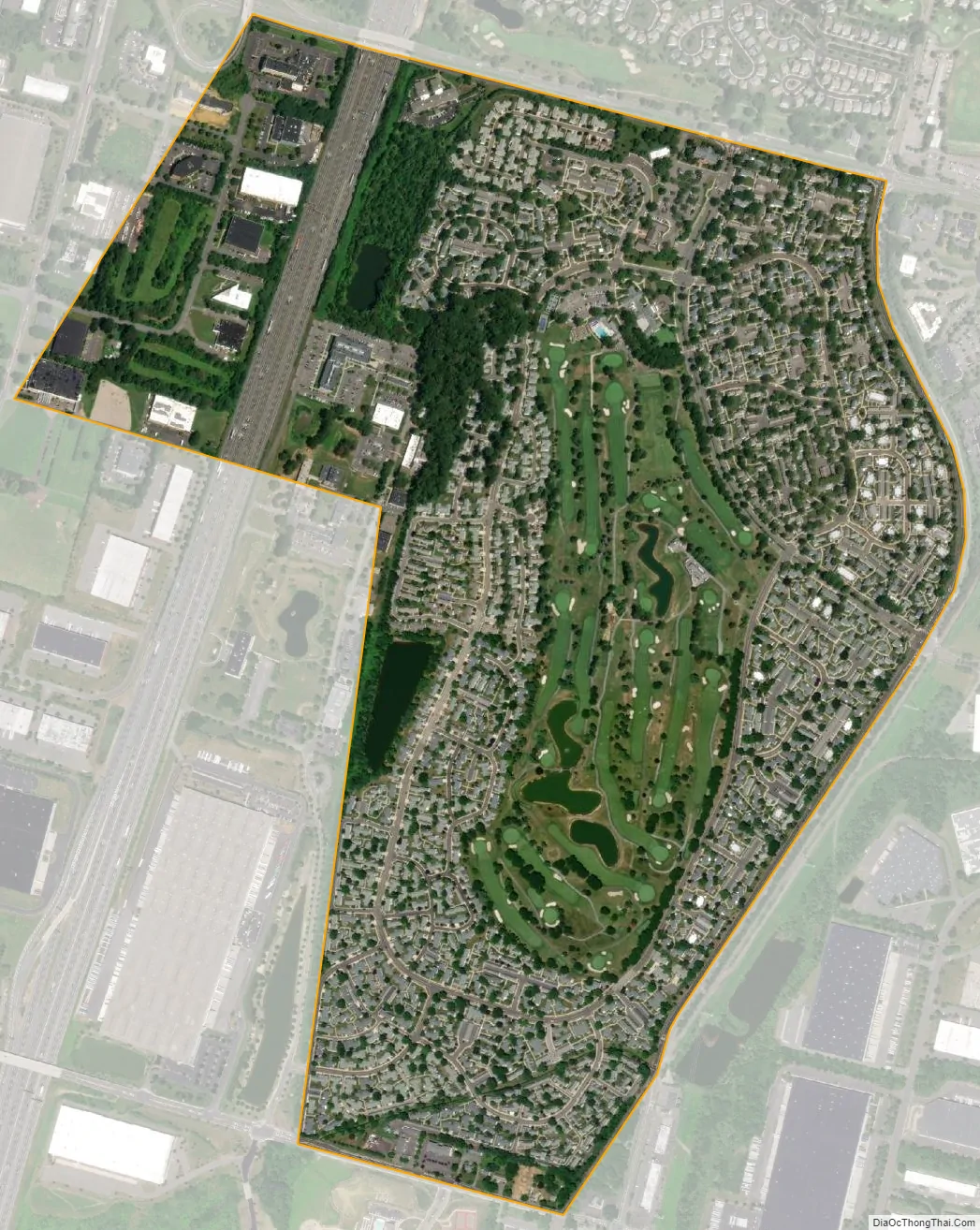
Rossmoor is a gated age-restricted co-op, active adult community . Rossmoor covers 418 acres (1.69 km) just off Exit 8A of the New Jersey Turnpike (Interstate 95). It has 2,303 residences, encircling a 104-acre (0.42 km) championship golf course. The community offers a wide selection of living space, from smaller units of 500 sq ft (46 m), to larger units with 2,300 sq ft (210 m) of living space, with its architecture primarily being American Colonial in style. Many residents continue to work in the area or commute to New York City. Express buses stop at Rossmoor for the 55-minute ride to the Port Authority Bus Terminal on 42nd Street in Midtown Manhattan.
| Name: | Rossmoor CDP |
|---|---|
| LSAD Code: | 57 |
| LSAD Description: | CDP (suffix) |
| State: | New Jersey |
| County: | Middlesex County |
| Elevation: | 131 ft (40 m) |
| Total Area: | 0.69 sq mi (1.77 km²) |
| Land Area: | 0.68 sq mi (1.75 km²) |
| Water Area: | 0.01 sq mi (0.02 km²) 1.48% |
| Total Population: | 2,992 |
| Population Density: | 4,432.59/sq mi (1,712.63/km²) |
| Area code: | 609 |
| FIPS code: | 3464865 |
| GNISfeature ID: | 02389783 |
Online Interactive Map
Click on ![]() to view map in "full screen" mode.
to view map in "full screen" mode.
Rossmoor location map. Where is Rossmoor CDP?
History
The concept of a “Senior Community” was an unknown entity in the building trade of the early 1960’s. But a man from California had already begun to change that by building three successful “Senior Communities” in Southern California. And then – in 1963 – this 47 year old builder was about to repeat his California success in New Jersey on the east coast. That person was Ross Cortese who started our community and after whom it is named. Through his contacts and research in 1962-63, Ross Cortese identified an area in central New Jersey that seemed to have all the right factors. He purchase available farm land directly adjacent to the New Jersey Turnpike (whose initial 118 miles had just been built between 1950-1952.) The land was near a large Country Club (the Forsgate Club), in business since 1931, which had already been successful in attracting a good clientele and which might also be available for purchase. He made sure to offer amenities that would attract buyers, and then he marketed the concept to the surrounding public.
In 1963, Arthur Phillips, Esq., then a young lawyer with offices in the Heritage Building near what is now Rossmoor’s North Gate, was hired by Cortese to act as attorney for the purchase of the necessary acreage. The purchase was a huge tract of land, covering the area that now includes today’s Adult Communities of Clearbrook, Concordia, Encore, the Ponds, Whittingham and all the Forsgate land including the Forsgate Country Club. Each Village was to have its own clubhouse and golf course. Total cost was expected to be $500 million. On May 8, 1964, the plans for the property were made public. The work on Village #1 began in earnest soon afterwards, and the Farmland appearance of Monroe changed abruptly. The last 6 months of 1966 was when construction began in earnest.
Over a 25 year period Rossmoor Village One was built out. As each section was completed a new sub association was established. Today there are 18 sub-associations called Mutuals in Village One (now known as Rossmoor). Rossmoor is overseen by a master association Board of Governors made up of each Mutual’s presidents. Together they assure the care and operation of the communities infrastructure and amenities and provide needed administrative and maintenance services to each Mutual and thus every owner.
Although only one of the original five villages were ever developed by Mr. Cortese’s company the spirit of his plan did eventually come to fruition through the construction of multiple active adult communities on the original land. His idea expanded even further into Monroe Township providing more and more affordable adult active housing options.
Rossmoor Road Map
Rossmoor city Satellite Map
Geography
According to the United States Census Bureau, the CDP had a total area of 0.918 square miles (2.378 km), including 0.904 square miles (2.343 km) of land and 0.014 square miles (0.035 km) of water (1.48%).
See also
Map of New Jersey State and its subdivision: Map of other states:- Alabama
- Alaska
- Arizona
- Arkansas
- California
- Colorado
- Connecticut
- Delaware
- District of Columbia
- Florida
- Georgia
- Hawaii
- Idaho
- Illinois
- Indiana
- Iowa
- Kansas
- Kentucky
- Louisiana
- Maine
- Maryland
- Massachusetts
- Michigan
- Minnesota
- Mississippi
- Missouri
- Montana
- Nebraska
- Nevada
- New Hampshire
- New Jersey
- New Mexico
- New York
- North Carolina
- North Dakota
- Ohio
- Oklahoma
- Oregon
- Pennsylvania
- Rhode Island
- South Carolina
- South Dakota
- Tennessee
- Texas
- Utah
- Vermont
- Virginia
- Washington
- West Virginia
- Wisconsin
- Wyoming


