Runnemede is a borough in Camden County, in the U.S. state of New Jersey. As of the 2020 United States census, the borough’s population was 8,324, a decrease of 144 (−1.7%) from the 2010 census count of 8,468, which in turn reflected a decline of 65 (−0.8%) from the 8,533 counted in the 2000 census.
Runnemede was incorporated as a borough by an act of the New Jersey Legislature on March 23, 1926, from portions of the now-defunct Centre Township, based on the results of a referendum held on April 24, 1926. The boroughs of Bellmawr, Mount Ephraim, and Lawnside were simultaneously created during the same two-day period. The derivation of the borough’s name is uncertain, though claims that it derives from a Native American term for “running water” have been refuted and connections to General George Meade or to “rum we need” for a nearby tavern are probably apocryphal. Sources have cited the name as coming from Runnymede, England.
| Name: | Runnemede borough |
|---|---|
| LSAD Code: | 21 |
| LSAD Description: | borough (suffix) |
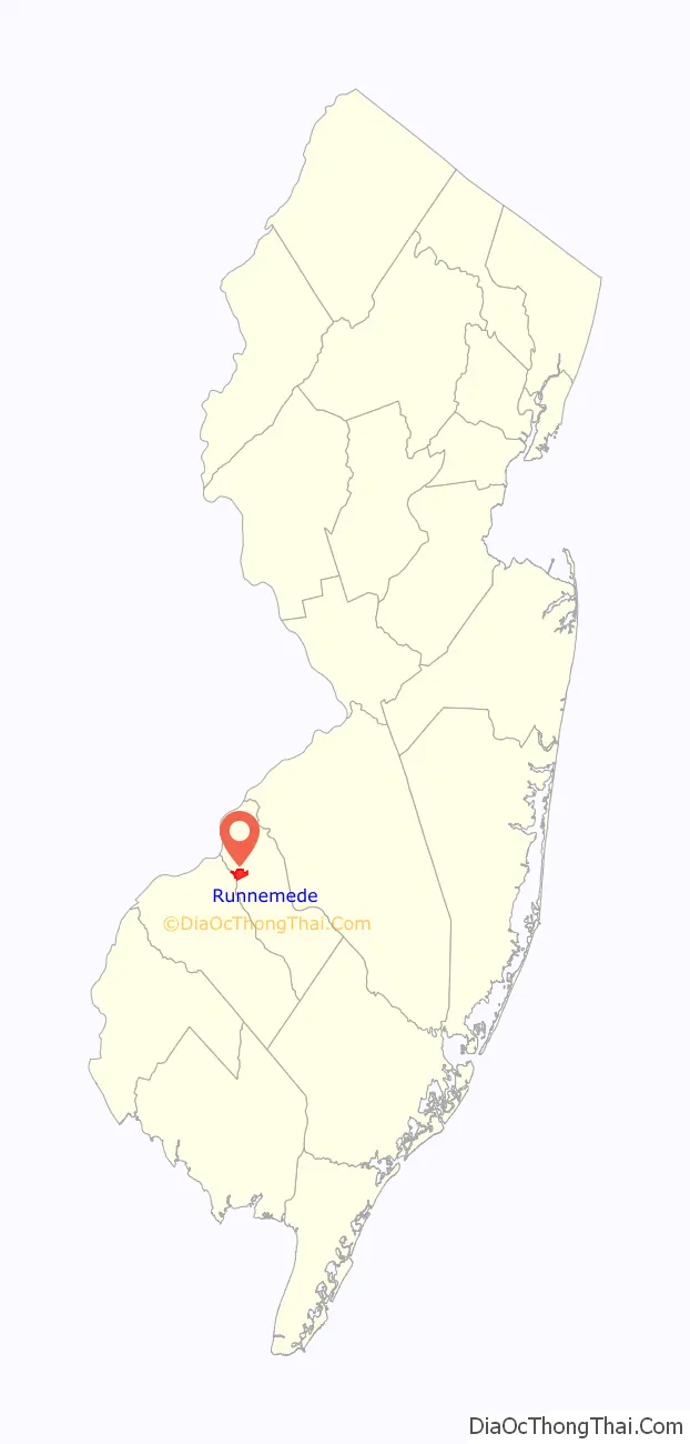
| State: | New Jersey |
| County: | Camden County |
| Incorporated: | April 24, 1926 |
| Elevation: | 69 ft (21 m) |
| Total Area: | 2.10 sq mi (5.45 km²) |
| Land Area: | 2.05 sq mi (5.31 km²) |
| Water Area: | 0.05 sq mi (0.14 km²) 2.56% |
| Total Population: | 8,324 |
| Population Density: | 4,058.5/sq mi (1,567.0/km²) |
| ZIP code: | 08078 |
| Area code: | 856 exchanges: 312, 931, 933, 939 |
| FIPS code: | 3465160 |
| GNISfeature ID: | 0885382 |
| Website: | www.runnemedenj.org |
Online Interactive Map
Click on ![]() to view map in "full screen" mode.
to view map in "full screen" mode.
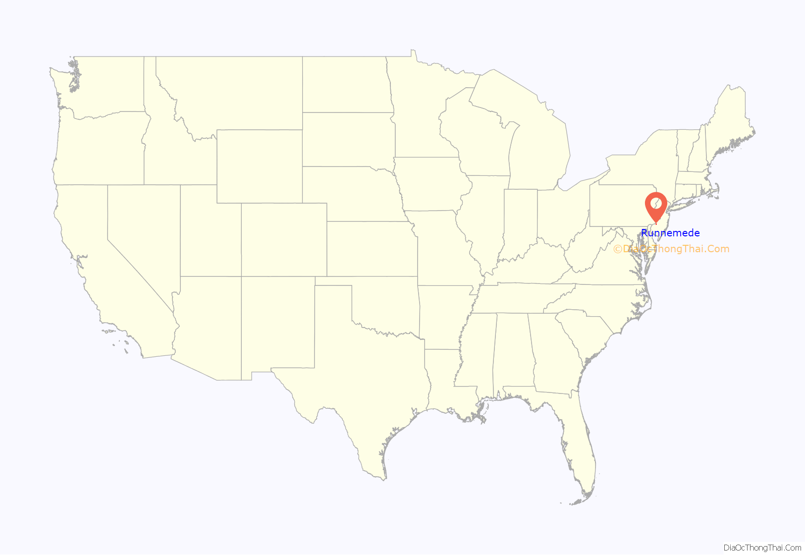
Runnemede location map. Where is Runnemede borough?
Runnemede Road Map

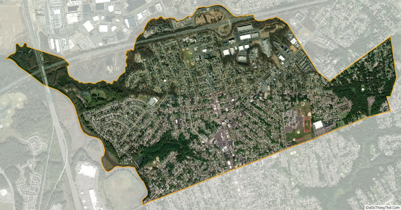
Runnemede city Satellite Map
Geography
According to the United States Census Bureau, the borough had a total area of 2.11 square miles (5.45 km), including 2.05 square miles (5.31 km) of land and 0.05 square miles (0.14 km) of water (2.56%).
Unincorporated communities, localities and place names located partially or completely within the borough include Glendora.
The borough borders Barrington, Bellmawr, Gloucester Township and Magnolia in Camden County. Runnemede also borders Deptford Township in Gloucester County.
See also
Map of New Jersey State and its subdivision: Map of other states:- Alabama
- Alaska
- Arizona
- Arkansas
- California
- Colorado
- Connecticut
- Delaware
- District of Columbia
- Florida
- Georgia
- Hawaii
- Idaho
- Illinois
- Indiana
- Iowa
- Kansas
- Kentucky
- Louisiana
- Maine
- Maryland
- Massachusetts
- Michigan
- Minnesota
- Mississippi
- Missouri
- Montana
- Nebraska
- Nevada
- New Hampshire
- New Jersey
- New Mexico
- New York
- North Carolina
- North Dakota
- Ohio
- Oklahoma
- Oregon
- Pennsylvania
- Rhode Island
- South Carolina
- South Dakota
- Tennessee
- Texas
- Utah
- Vermont
- Virginia
- Washington
- West Virginia
- Wisconsin
- Wyoming


