Spotswood is a borough in Middlesex County, in the U.S. state of New Jersey. The community is nestled within the heart of the Raritan Valley region, with the Manalapan Brook and Matchaponix Brook forming the confluence of the South River (a Raritan River tributary) inside the borough. As of the 2020 United States census, the borough’s population was 8,163, a decrease of 94 (−1.1%) from the 2010 census count of 8,257, which in turn reflected an increase of 377 (+4.8%) from the 7,880 counted at the 2000 census.
| Name: | Spotswood borough |
|---|---|
| LSAD Code: | 21 |
| LSAD Description: | borough (suffix) |
| State: | New Jersey |
| County: | Middlesex County |
| Incorporated: | May 12, 1908 |
| Elevation: | 36 ft (11 m) |
| Total Area: | 2.42 sq mi (6.27 km²) |
| Land Area: | 2.31 sq mi (5.99 km²) |
| Water Area: | 0.11 sq mi (0.28 km²) 4.46% |
| Total Population: | 8,163 |
| Population Density: | 3,538.4/sq mi (1,366.2/km²) |
| ZIP code: | 08884 |
| Area code: | 732 |
| FIPS code: | 3469810 |
| GNISfeature ID: | 0885405 |
| Website: | www.spotswoodboro.com |
Online Interactive Map
Click on ![]() to view map in "full screen" mode.
to view map in "full screen" mode.
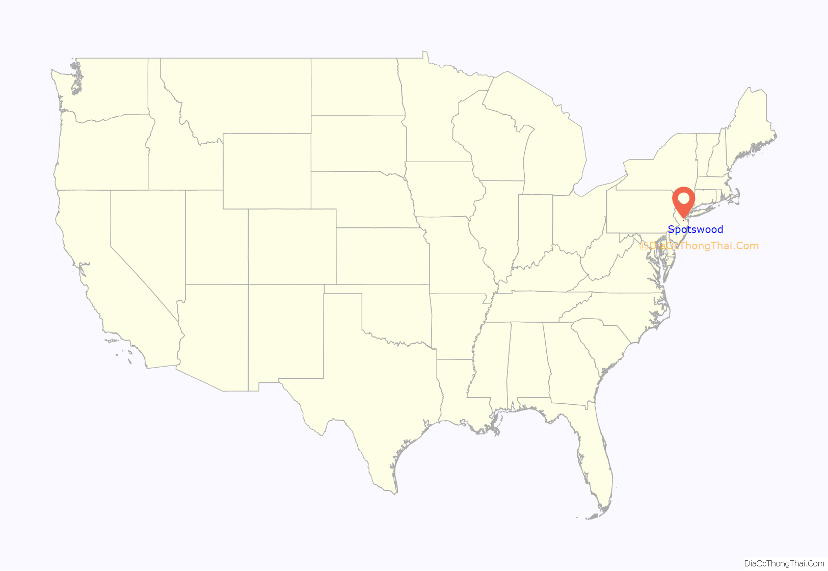
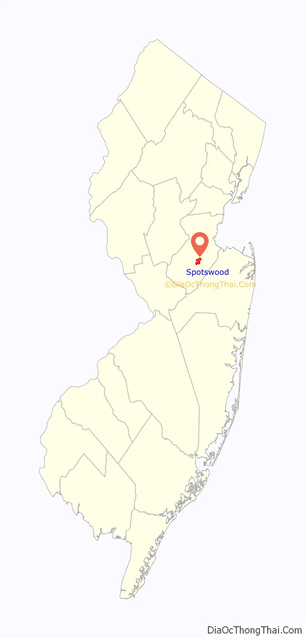
Spotswood location map. Where is Spotswood borough?
History
Its first settler James Johnston originally called the place “Spottiswoode”, named for his old place of residence in Scotland, and dates back to its original settlement in 1685. It was also historically spelled Spottswood.
The Bordentown and South Amboy Turnpike, a stagecoach route built in 1816, passed through Spotswood. The Camden and Amboy Railroad, chartered in 1830, followed this stagecoach route and reached Spotswood in 1832. It used stone sleepers to support the track. The locomotive, John Bull, operated on the railroad. A trackside memorial is located near East Spotswood Park. In addition to the Spotswood station, Outcalt and East Spotswood had passenger and freight stations on the Pennsylvania Railroad, the United New Jersey Railroad and Canal Company subsidiary.
Spotswood was incorporated as a borough by an act of the New Jersey Legislature on April 15, 1908, from portions of East Brunswick Township, based on the passage of a referendum held on May 12, 1908.
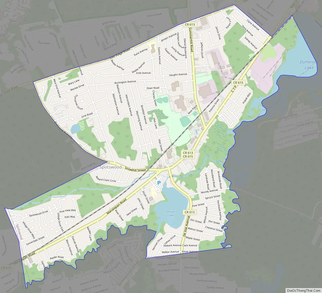
Spotswood Road Map
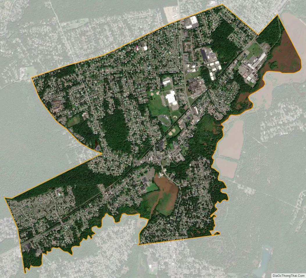
Spotswood city Satellite Map
Geography
According to the United States Census Bureau, the borough had a total area of 2.42 square miles (6.3 km), including 2.31 square miles (6.0 km) of land and 0.11 square miles (0.28 km) of water (4.46%).
Unincorporated communities, localities and place names located partially or completely within the borough include Outcalt, which is located along the border of Spotswood and Monroe Township.
The borough borders the Middlesex County municipalities of East Brunswick, Helmetta, Monroe Township and Old Bridge Township.
See also
Map of New Jersey State and its subdivision: Map of other states:- Alabama
- Alaska
- Arizona
- Arkansas
- California
- Colorado
- Connecticut
- Delaware
- District of Columbia
- Florida
- Georgia
- Hawaii
- Idaho
- Illinois
- Indiana
- Iowa
- Kansas
- Kentucky
- Louisiana
- Maine
- Maryland
- Massachusetts
- Michigan
- Minnesota
- Mississippi
- Missouri
- Montana
- Nebraska
- Nevada
- New Hampshire
- New Jersey
- New Mexico
- New York
- North Carolina
- North Dakota
- Ohio
- Oklahoma
- Oregon
- Pennsylvania
- Rhode Island
- South Carolina
- South Dakota
- Tennessee
- Texas
- Utah
- Vermont
- Virginia
- Washington
- West Virginia
- Wisconsin
- Wyoming


