Woodbridge is an unincorporated community and census-designated place (CDP) within Woodbridge Township, in Middlesex County, New Jersey, United States. As of the 2010 United States Census, the CDP’s population was 19,265. Despite the similarity in the name of the CDP and the township, the two are not coextensive; the CDP occupies 15.7% of the township’s 24.51 square miles (63.5 km).
| Name: | Woodbridge CDP |
|---|---|
| LSAD Code: | 57 |
| LSAD Description: | CDP (suffix) |
| State: | New Jersey |
| County: | Middlesex County |
| Elevation: | 30 ft (9 m) |
| Total Area: | 4.63 sq mi (12.00 km²) |
| Land Area: | 4.61 sq mi (11.93 km²) |
| Water Area: | 0.03 sq mi (0.07 km²) 0.39% |
| Total Population: | 19,839 |
| Population Density: | 4,308.14/sq mi (1,663.45/km²) |
| ZIP code: | 07095 |
| Area code: | 732/848 |
| FIPS code: | 3481950 |
| GNISfeature ID: | 02390527 |
Online Interactive Map
Click on ![]() to view map in "full screen" mode.
to view map in "full screen" mode.
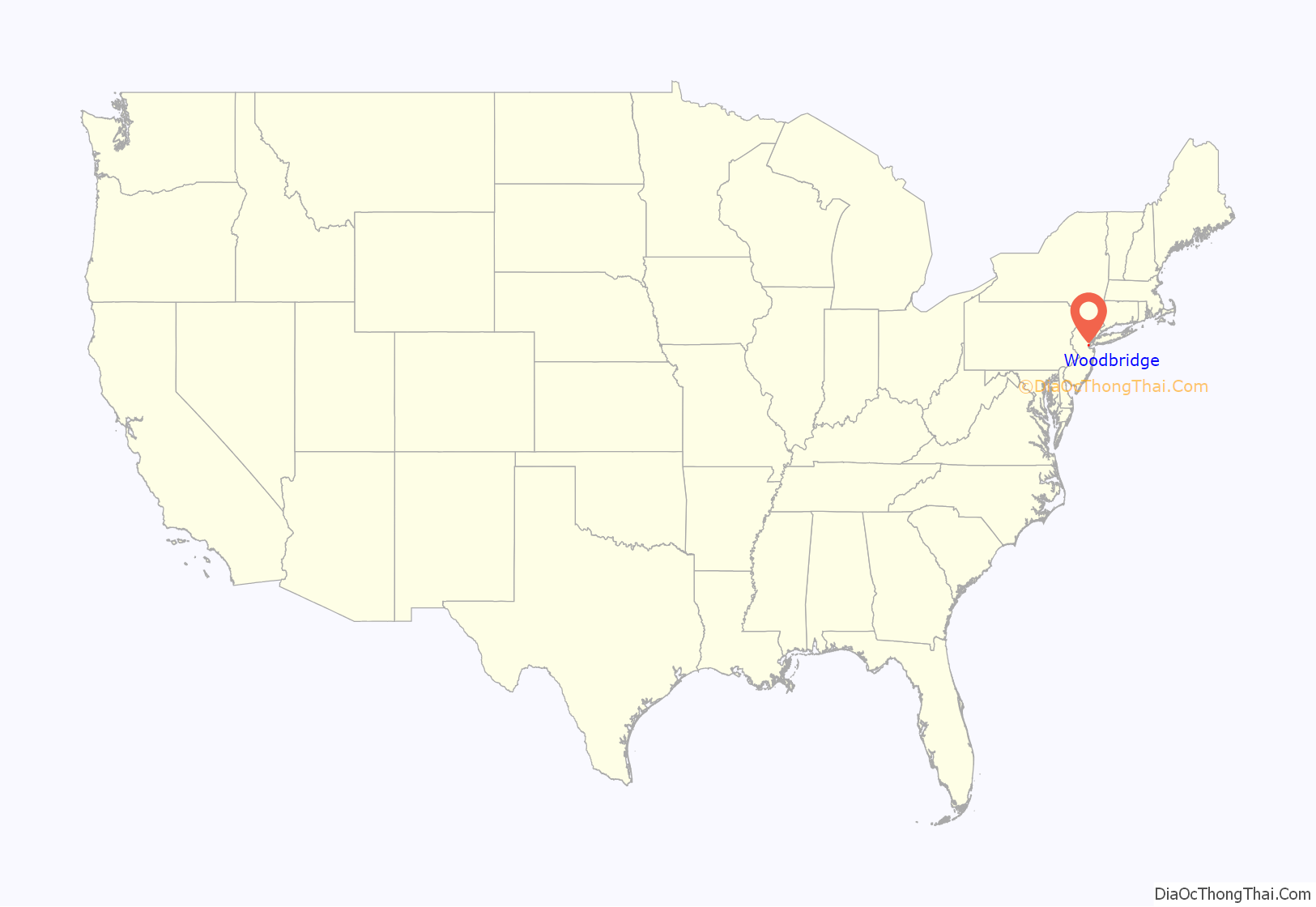
Woodbridge location map. Where is Woodbridge CDP?
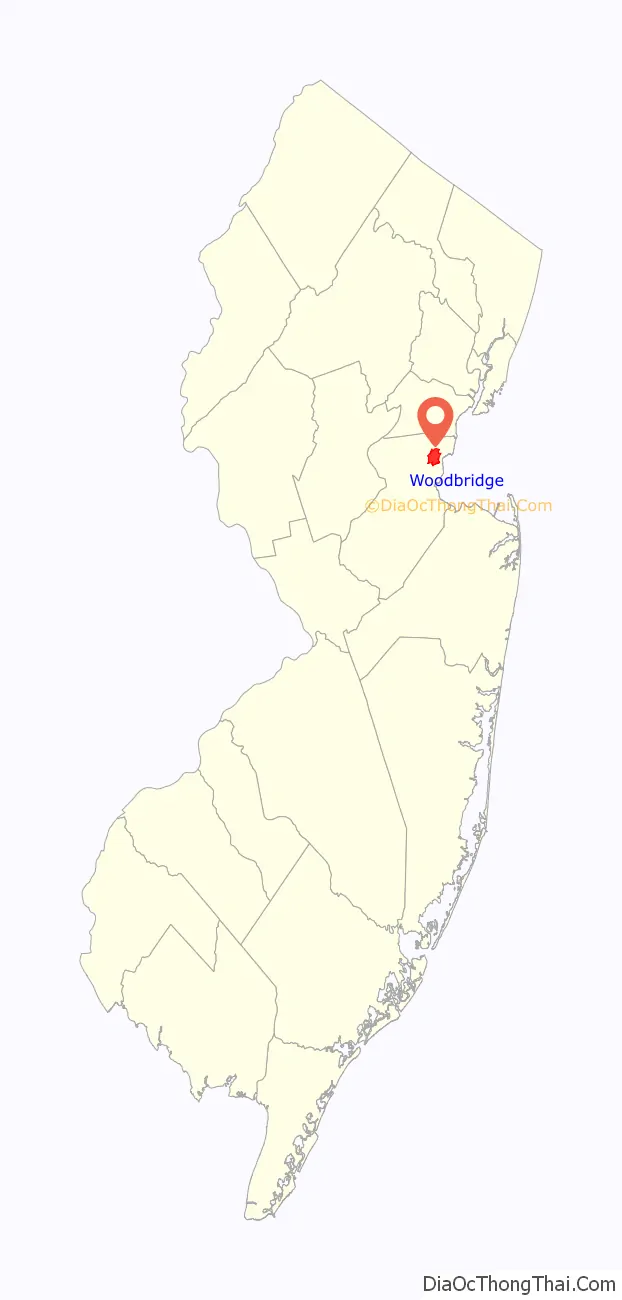
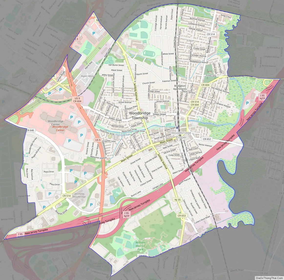
Woodbridge Road Map
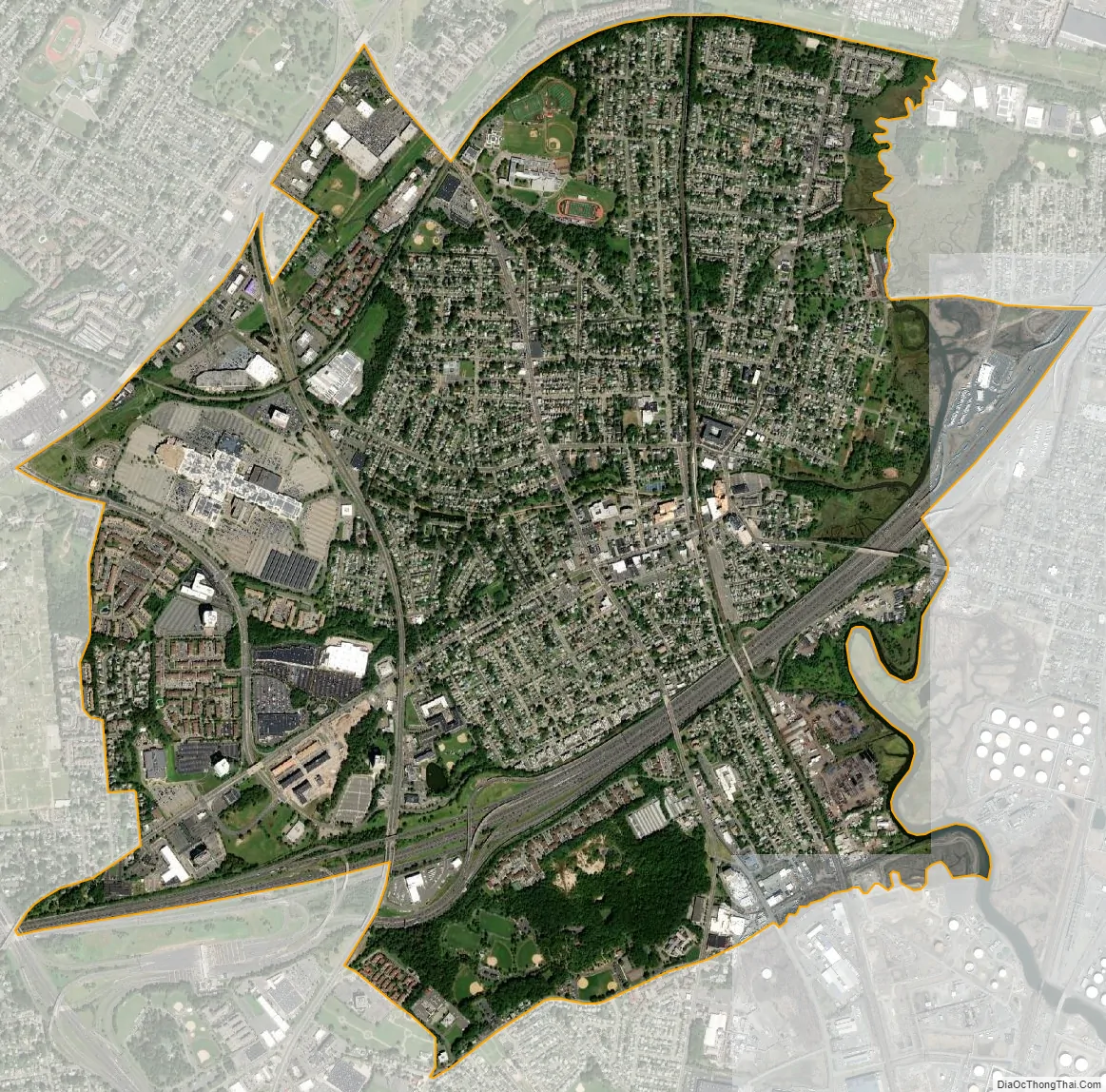
Woodbridge city Satellite Map
Geography
According to the United States Census Bureau, the CDP had a total area of 3.861 square miles (10.000 km), including 3.846 square miles (9.962 km) of land and 0.015 square miles (0.039 km) of water (0.39%).
See also
Map of New Jersey State and its subdivision: Map of other states:- Alabama
- Alaska
- Arizona
- Arkansas
- California
- Colorado
- Connecticut
- Delaware
- District of Columbia
- Florida
- Georgia
- Hawaii
- Idaho
- Illinois
- Indiana
- Iowa
- Kansas
- Kentucky
- Louisiana
- Maine
- Maryland
- Massachusetts
- Michigan
- Minnesota
- Mississippi
- Missouri
- Montana
- Nebraska
- Nevada
- New Hampshire
- New Jersey
- New Mexico
- New York
- North Carolina
- North Dakota
- Ohio
- Oklahoma
- Oregon
- Pennsylvania
- Rhode Island
- South Carolina
- South Dakota
- Tennessee
- Texas
- Utah
- Vermont
- Virginia
- Washington
- West Virginia
- Wisconsin
- Wyoming


