Woodstown is a borough in Salem County, in the U.S. state of New Jersey. As of the 2020 United States census, the borough’s population was 3,678, an increase of 173 (+4.9%) from the 2010 census count of 3,505, which in turn reflected an increase of 369 (+11.8%) from the 3,136 counted in the 2000 census.
Woodstown was established on July 26, 1882, from portions of Pilesgrove Township based on the results of a referendum held that same day. The borough’s incorporation was confirmed on March 3, 1925. The borough was named for early settler Jackanias (or Jaconias) Wood.
| Name: | Woodstown borough |
|---|---|
| LSAD Code: | 21 |
| LSAD Description: | borough (suffix) |
| State: | New Jersey |
| County: | Salem County |
| Incorporated: | July 26, 1882 |
| Elevation: | 49 ft (15 m) |
| Total Area: | 1.61 sq mi (4.18 km²) |
| Land Area: | 1.57 sq mi (4.08 km²) |
| Water Area: | 0.04 sq mi (0.10 km²) 2.47% |
| Total Population: | 3,678 |
| Population Density: | 2,335.4/sq mi (901.7/km²) |
| ZIP code: | 08098 |
| Area code: | 856 exchange: 769 |
| FIPS code: | 3482720 |
| GNISfeature ID: | 0885452 |
| Website: | www.historicwoodstown.org |
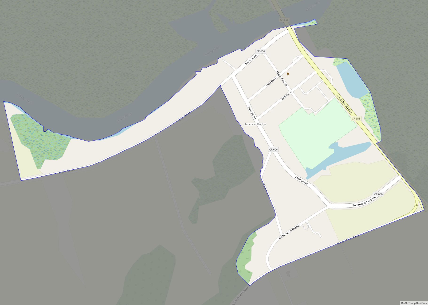
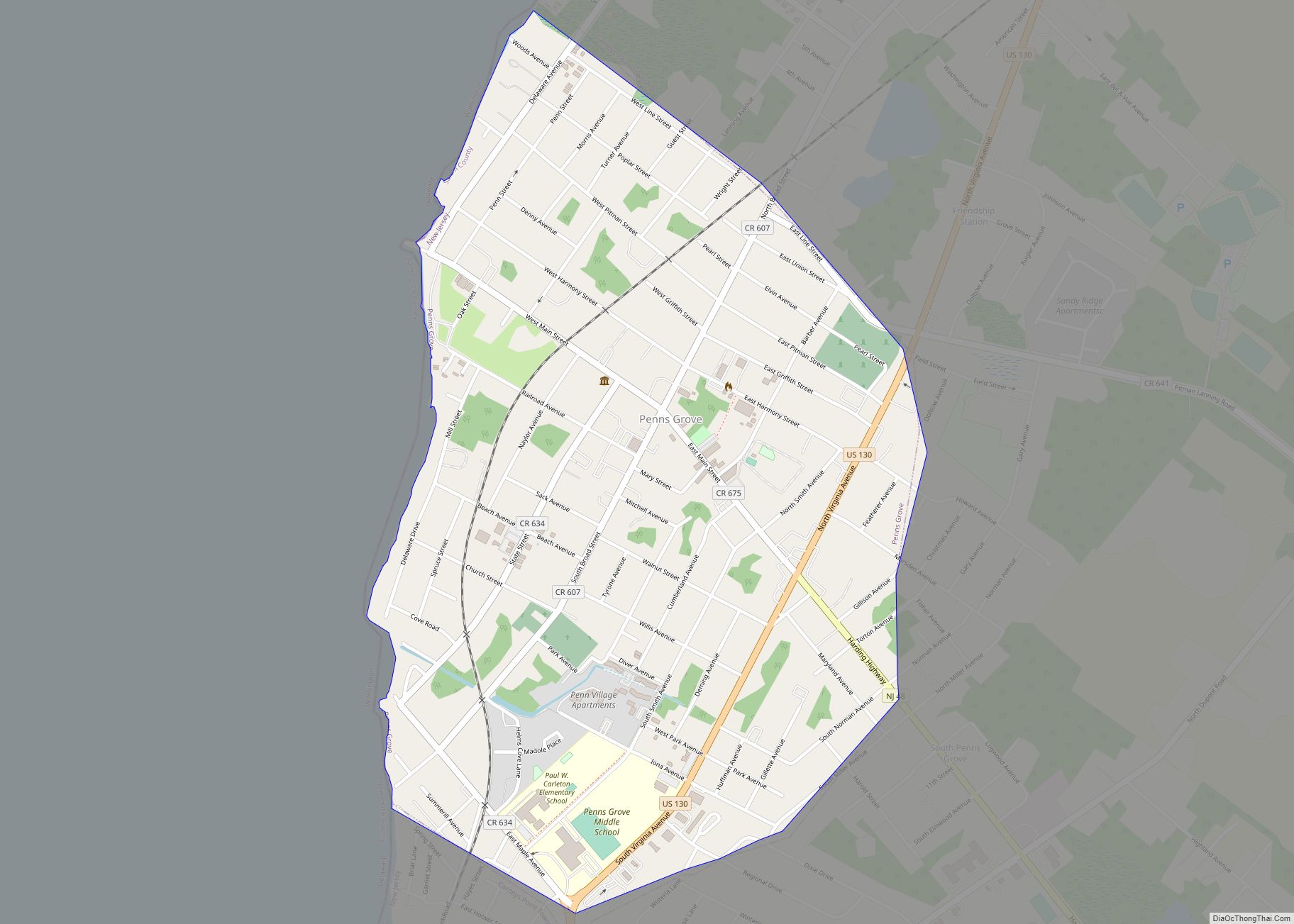
Online Interactive Map
Click on ![]() to view map in "full screen" mode.
to view map in "full screen" mode.
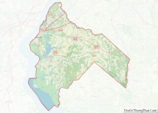
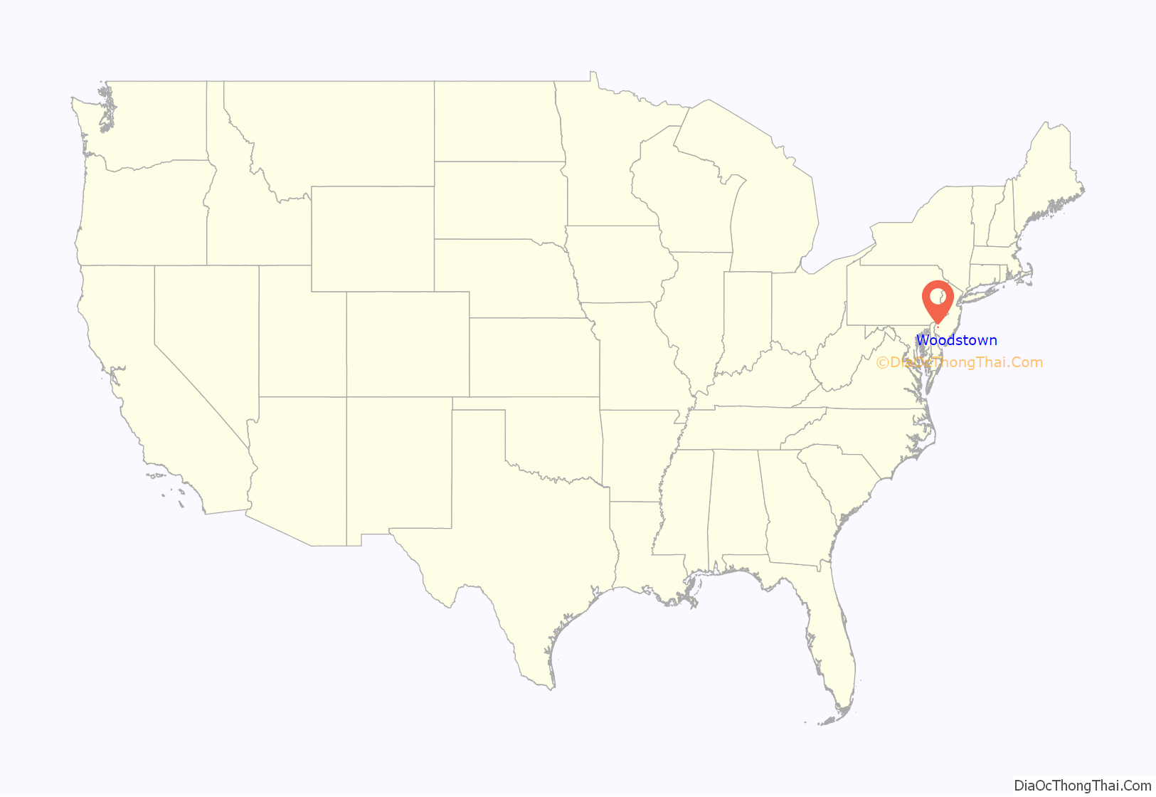
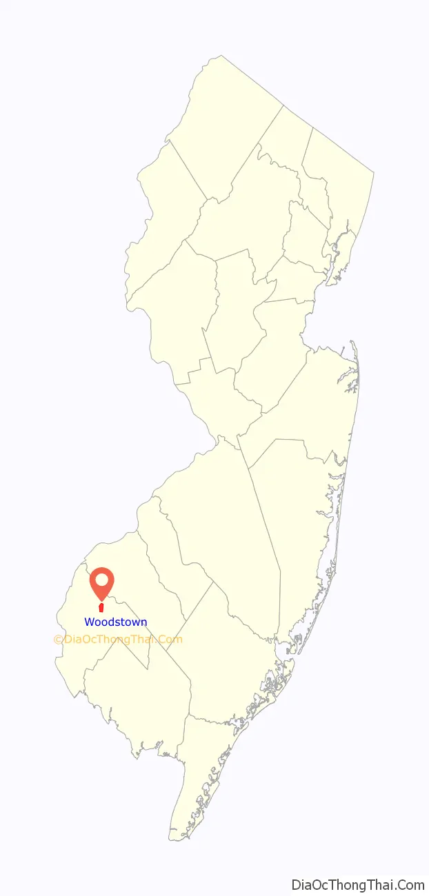
Woodstown location map. Where is Woodstown borough?
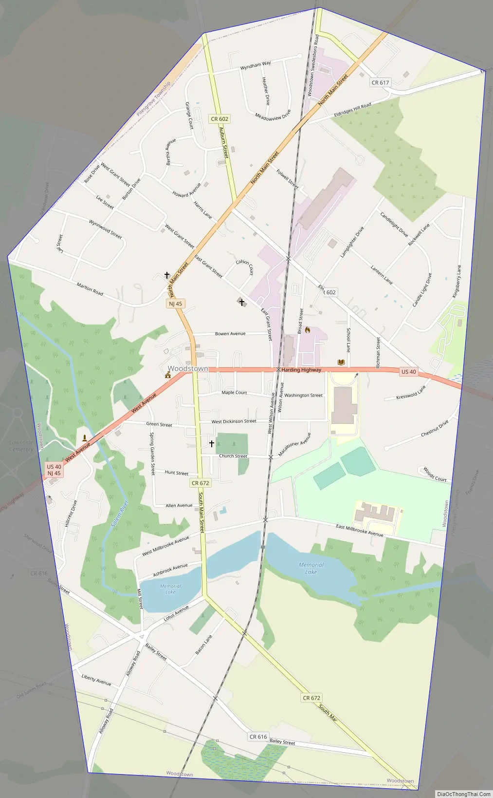
Woodstown Road Map
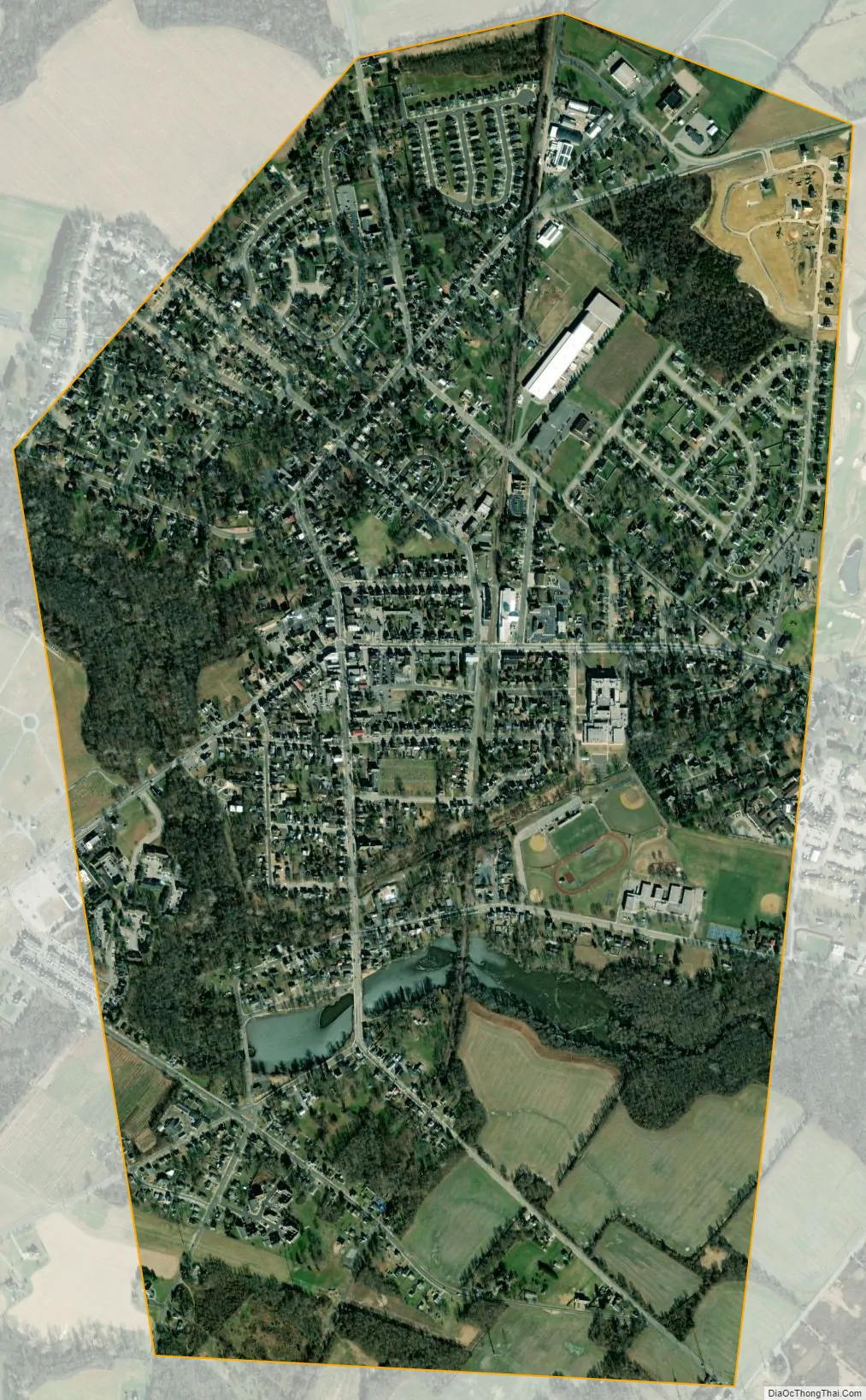
Woodstown city Satellite Map
Geography
According to the United States Census Bureau, the borough had a total area of 1.62 square miles (4.18 km), including 1.58 square miles (4.08 km) of land and 0.04 square miles (0.10 km) of water (2.47%).
The Borough of Woodstown is an independent municipality completely surrounded by Pilesgrove Township, making it part of 21 pairs of “doughnut towns” in the state, where one municipality entirely surrounds another. Woodstown serves as the more densely settled commercial core of the paired communities, while Pilesgrove is more agricultural.
See also
Map of New Jersey State and its subdivision: Map of other states:- Alabama
- Alaska
- Arizona
- Arkansas
- California
- Colorado
- Connecticut
- Delaware
- District of Columbia
- Florida
- Georgia
- Hawaii
- Idaho
- Illinois
- Indiana
- Iowa
- Kansas
- Kentucky
- Louisiana
- Maine
- Maryland
- Massachusetts
- Michigan
- Minnesota
- Mississippi
- Missouri
- Montana
- Nebraska
- Nevada
- New Hampshire
- New Jersey
- New Mexico
- New York
- North Carolina
- North Dakota
- Ohio
- Oklahoma
- Oregon
- Pennsylvania
- Rhode Island
- South Carolina
- South Dakota
- Tennessee
- Texas
- Utah
- Vermont
- Virginia
- Washington
- West Virginia
- Wisconsin
- Wyoming