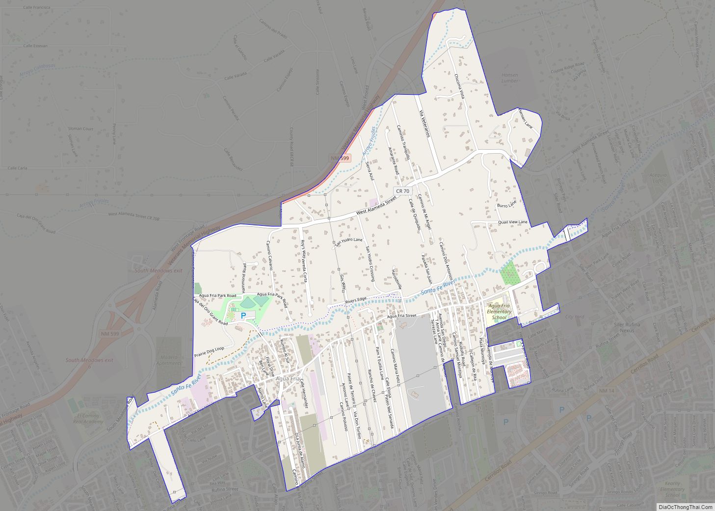
Agua Fria (Spanish for “cold water”) is a census-designated place (CDP) in Santa Fe County, New Mexico, United States. It is part of the Santa Fe, New Mexico Metropolitan Statistical Area. The population was 2,800 at the 2010 census. Agua Fria Village is a “Traditional Historic Community” (THC) as designated by the Santa Fe Board of County Commissioners in 1995 and subsequent Santa Fe County Ordinance #1996-16, as allowed by State Statute (3-7-1.1 and 3-2-3 (C) NMSA 1978).
| Name: | Agua Fria CDP |
|---|---|
| LSAD Code: | 57 |
| LSAD Description: | CDP (suffix) |
| State: | New Mexico |
| County: | Santa Fe County |
| Elevation: | 6,562 ft (2,000 m) |
| Total Area: | 2.42 sq mi (6.28 km²) |
| Land Area: | 2.42 sq mi (6.28 km²) |
| Water Area: | 0.00 sq mi (0.00 km²) |
| Total Population: | 2,913 |
| Population Density: | 1,201.73/sq mi (464.00/km²) |
| Area code: | 505 |
| FIPS code: | 3501220 |
| GNISfeature ID: | 0918018 |
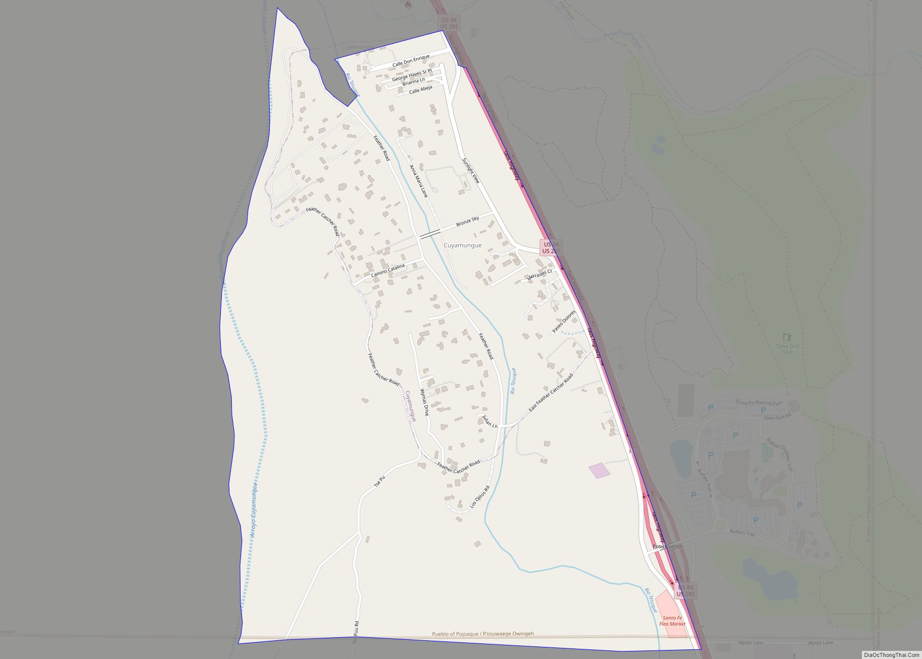
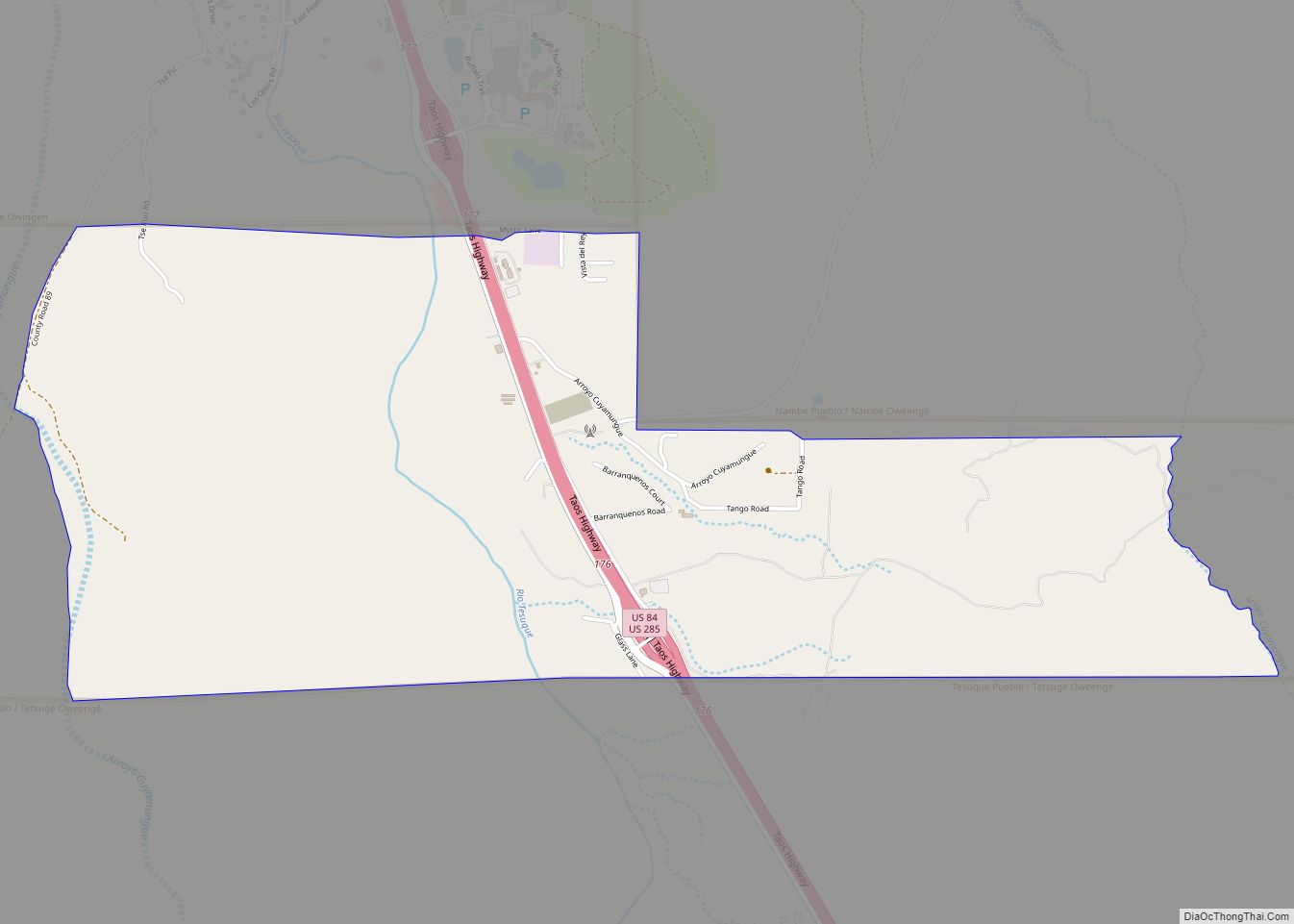
Online Interactive Map
Click on ![]() to view map in "full screen" mode.
to view map in "full screen" mode.
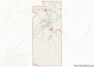
Agua Fria location map. Where is Agua Fria CDP?


History
Native Americans lived in this area circa 3,000-3,500 BCE because of the water availability and moderate temperatures (about 30 fewer freezing days than in Santa Fe). Recent archaeological work shows a presence in this area back to 7,000 BCE.
The Spanish under command of Juan de Oñate passed through this area on the way to founding the first capital of New Mexico San Gabriel in 1598 (near present-day San Juan Pueblo – Okhay Owinge). The first recorded settlement was circa 1640 by the grandparents of Major Roque Madrid (the area then known as Pueblo Quemado for a burnt native town in the area). The grandfather Francisco de Madrid may have ‘dropped off’ from a 1603 expedition to farm this area (he is the namesake of Madrid, New Mexico, a mining area).
As these settlements of Cieneguitas, Agua Fria and Cieneguilla expanded in Spanish Colonial New Mexico, they were called Ranchitos, as the population grew they became a Placita. Agua Fria was identified by two groups. The area by the Church was “La Placita de Los Romeros” and the other one in the area of the Tanque, the “watering hole” (area of Lopez Lane and Camino de Oro Road) became “La Placita de Los Lopez.” As the community grew, it acquired the status of a Village.
In the year 1776, Fray Francisco Atanacio Dominguez gave a census count to his superiors listing Agua Fria with 57 families and 297 persons; but at this time it was still known as Pueblo Quemado.
U.S. Army Colonel John M. Washington’s Expedition to Navajo Country passed through Agua Fria on August 16, 1849. This was the first known American reference to the community. The parroquia of Santa Fe was administered under the auspices of the Diocese of Durango, Mexico in the 1800s. Even though the people in Agua Fria had a strong faith, they found it difficult to attend church regularly, so they founded their own mission in the Village in 1835.
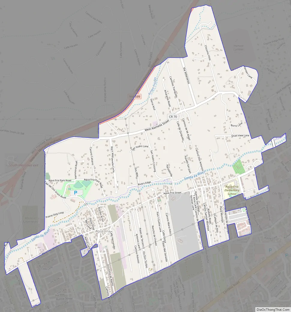
Agua Fria Road Map
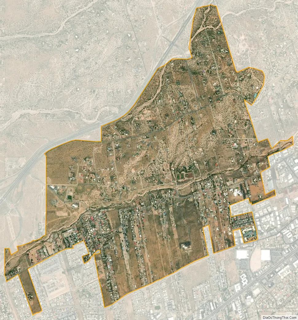
Agua Fria city Satellite Map
Geography
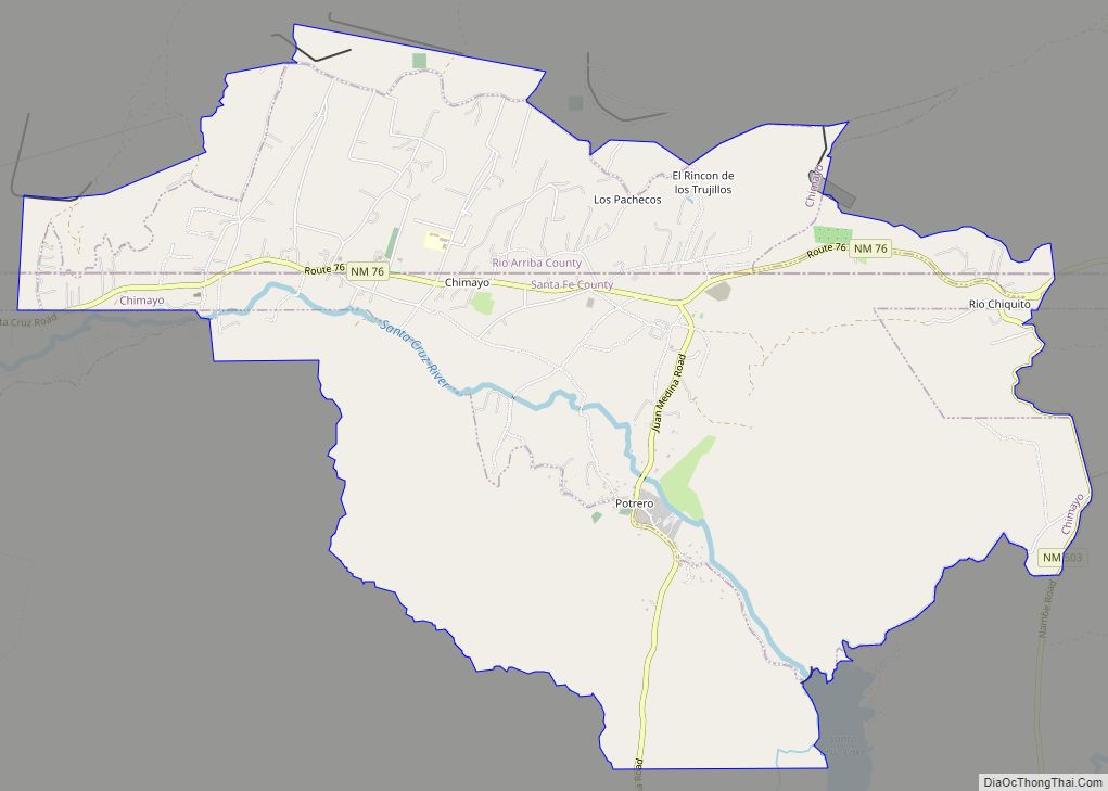
Agua Fria is located at 35°39′33″N 106°0′45″W / 35.65917°N 106.01250°W / 35.65917; -106.01250 (35.659143, -106.012412). The traditional boundaries of the Village are from Camino Carlos Rael (west boundary of Frenchy’s Field Park) on the east to San Felipe Road on the west (rejected Cienguilla Grant boundary), to Arroyo de los Chamisos on the south (present day Santa Fe Place Mall), to Arroyo de los Frijoles on the north (the arroyo is a City of Santa Fe walking trail, but it might be described as Las Companas subdivision, just north of State Road 599). The present-day THC boundaries are much smaller (basically Siler Road on east, Lopez Lane and Jemez Road on west, Rufina Street on south, and State Road 599 on north).
According to the United States Census Bureau, the CDP has a total area of 2.6 square miles (6.7 km), of which 2.5 square miles (6.5 km) is land and 0.1 square miles (0.26 km) (3.8%) is water.
See also
Map of New Mexico State and its subdivision: Map of other states:- Alabama
- Alaska
- Arizona
- Arkansas
- California
- Colorado
- Connecticut
- Delaware
- District of Columbia
- Florida
- Georgia
- Hawaii
- Idaho
- Illinois
- Indiana
- Iowa
- Kansas
- Kentucky
- Louisiana
- Maine
- Maryland
- Massachusetts
- Michigan
- Minnesota
- Mississippi
- Missouri
- Montana
- Nebraska
- Nevada
- New Hampshire
- New Jersey
- New Mexico
- New York
- North Carolina
- North Dakota
- Ohio
- Oklahoma
- Oregon
- Pennsylvania
- Rhode Island
- South Carolina
- South Dakota
- Tennessee
- Texas
- Utah
- Vermont
- Virginia
- Washington
- West Virginia
- Wisconsin
- Wyoming