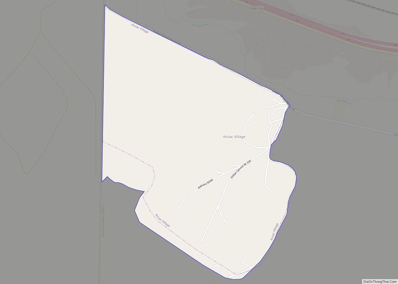
Anzac Village is a census-designated place (CDP) in Cibola County, New Mexico, United States. The population was 54 at the 2010 census.
| Name: | Anzac Village CDP |
|---|---|
| LSAD Code: | 57 |
| LSAD Description: | CDP (suffix) |
| State: | New Mexico |
| County: | Cibola County |
| Elevation: | 6,320 ft (1,930 m) |
| Total Area: | 0.97 sq mi (2.53 km²) |
| Land Area: | 0.97 sq mi (2.53 km²) |
| Water Area: | 0.00 sq mi (0.00 km²) |
| Total Population: | 67 |
| Population Density: | 68.72/sq mi (26.52/km²) |
| Area code: | 505 |
| FIPS code: | 3503970 |
| GNISfeature ID: | 2585647 |
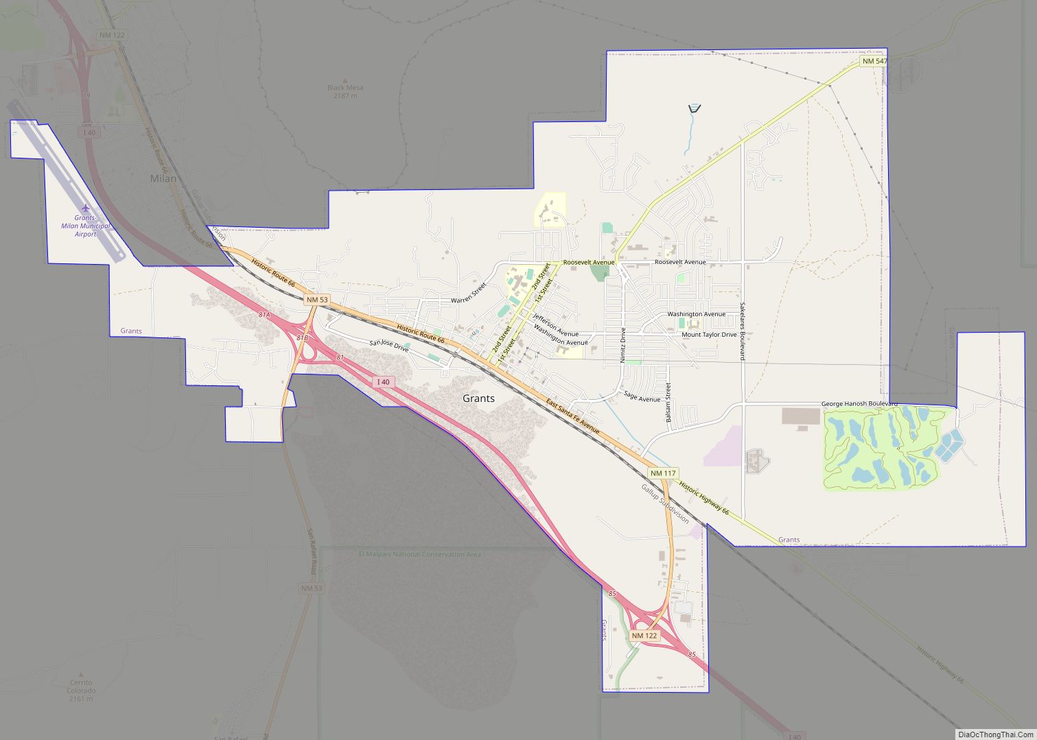
Online Interactive Map
Click on ![]() to view map in "full screen" mode.
to view map in "full screen" mode.
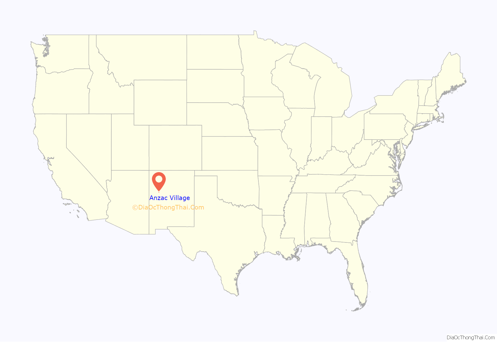
Anzac Village location map. Where is Anzac Village CDP?
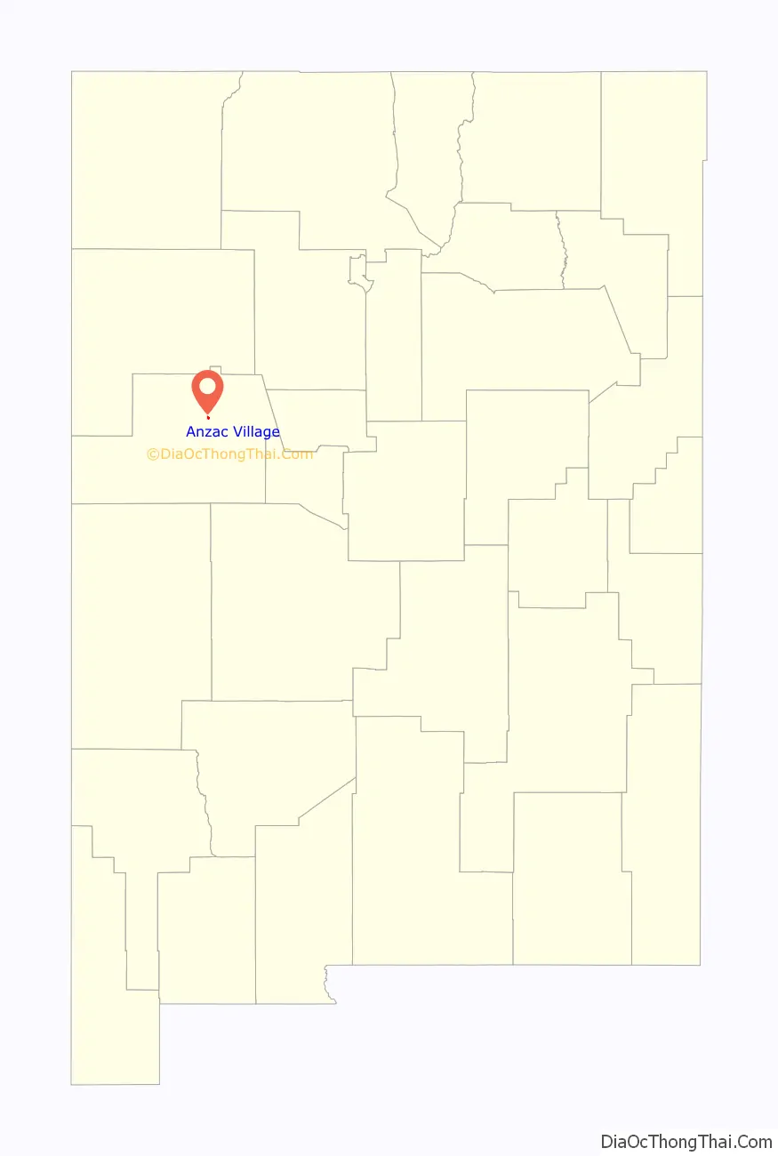
Anzac Village Road Map
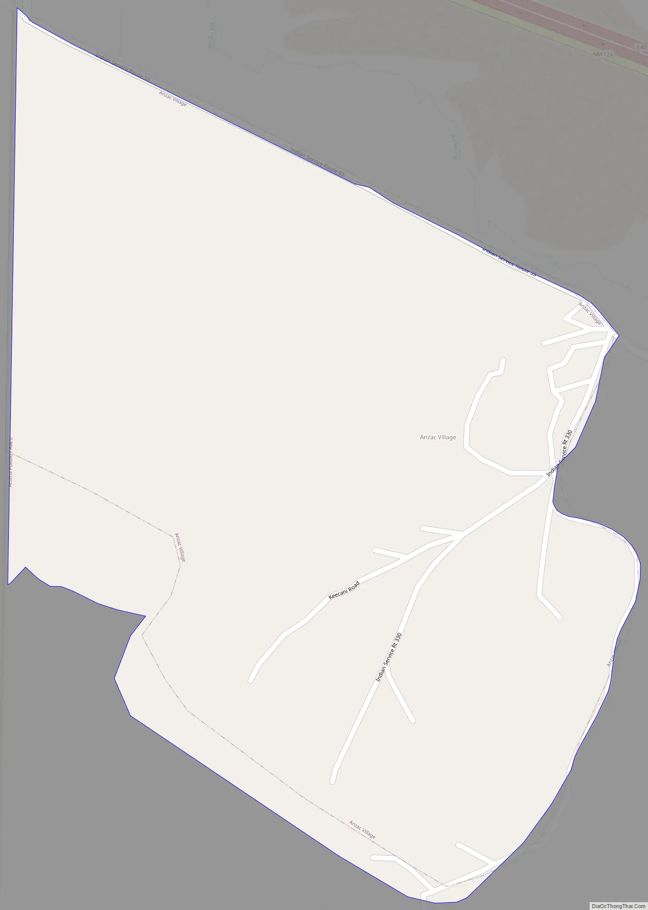
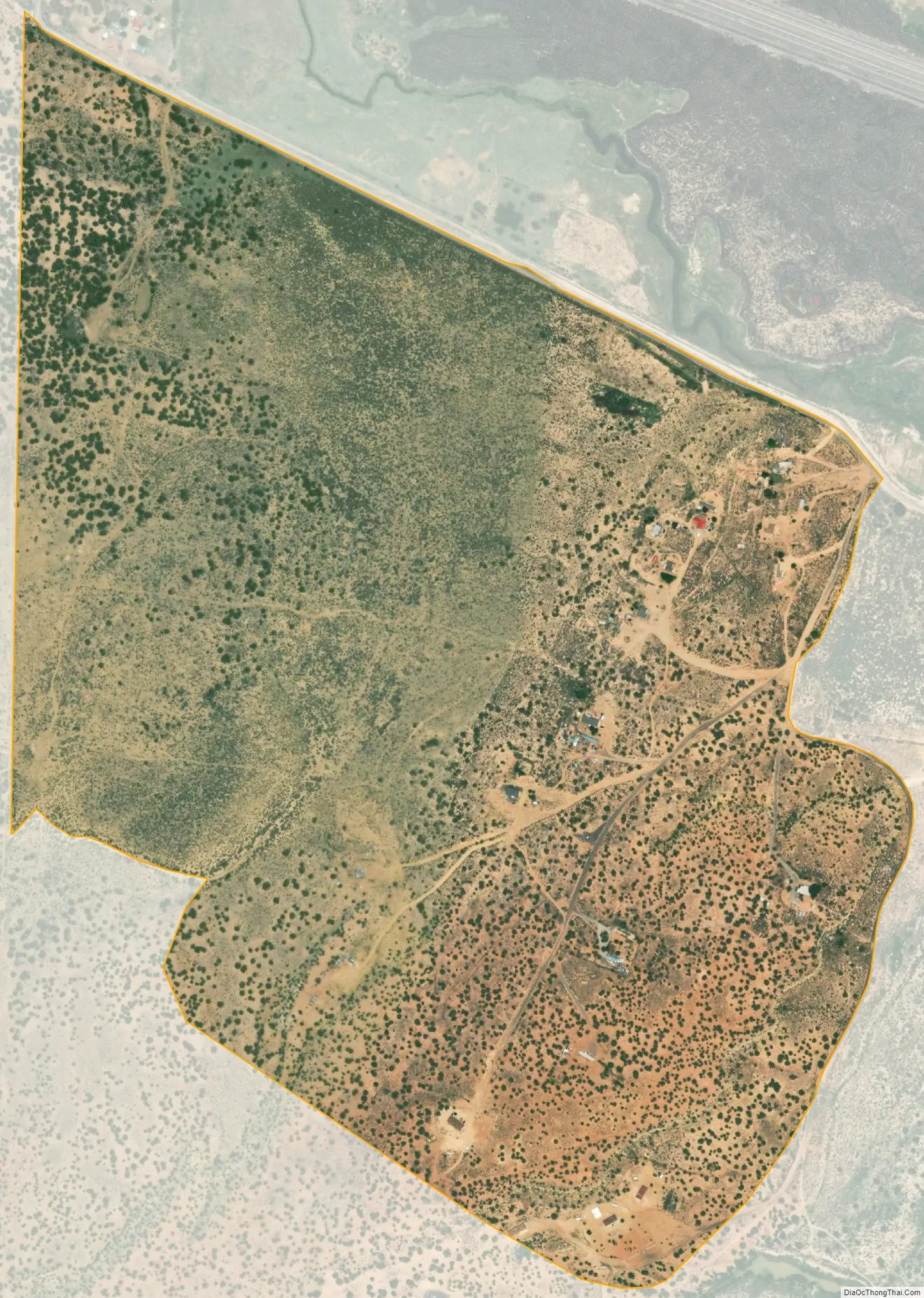
Anzac Village city Satellite Map
Geography
Anzac Village is located in northern Cibola County at 35°3′36″N 107°44′31″W / 35.06000°N 107.74194°W / 35.06000; -107.74194, in the northwest corner of the Acoma Indian Reservation. It is bordered on the north by Anzac Road in the valley of the Rio San Jose; the road connects with Historic U.S. Route 66 to the east and west.
According to the United States Census Bureau, the CDP has a total area of 0.56 square miles (1.44 km), all land.
See also
Map of New Mexico State and its subdivision: Map of other states:- Alabama
- Alaska
- Arizona
- Arkansas
- California
- Colorado
- Connecticut
- Delaware
- District of Columbia
- Florida
- Georgia
- Hawaii
- Idaho
- Illinois
- Indiana
- Iowa
- Kansas
- Kentucky
- Louisiana
- Maine
- Maryland
- Massachusetts
- Michigan
- Minnesota
- Mississippi
- Missouri
- Montana
- Nebraska
- Nevada
- New Hampshire
- New Jersey
- New Mexico
- New York
- North Carolina
- North Dakota
- Ohio
- Oklahoma
- Oregon
- Pennsylvania
- Rhode Island
- South Carolina
- South Dakota
- Tennessee
- Texas
- Utah
- Vermont
- Virginia
- Washington
- West Virginia
- Wisconsin
- Wyoming