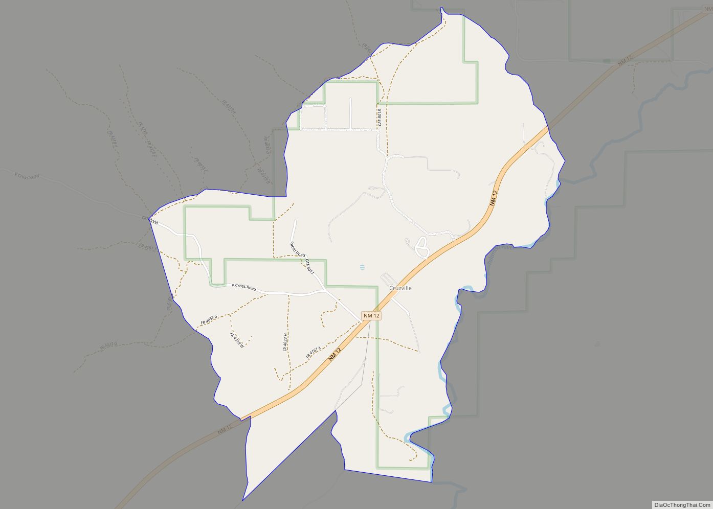
Apache Creek is a census-designated place in Catron County, New Mexico, United States. As of the 2010 census it had a population of 67. Located 3 miles (5 km) northeast of Cruzville, it is situated at the confluence of Apache Creek and the Tularosa River. The Apache Creek Pueblo, also called the “Apache Creek Ruin”, is near the town. It was listed by the New Mexico Historic Preservation Commission in 1969.
| Name: | Apache Creek CDP |
|---|---|
| LSAD Code: | 57 |
| LSAD Description: | CDP (suffix) |
| State: | New Mexico |
| County: | Catron County |
| Elevation: | 6,411 ft (1,954 m) |
| Total Area: | 8.22 sq mi (21.28 km²) |
| Land Area: | 8.20 sq mi (21.24 km²) |
| Water Area: | 0.02 sq mi (0.04 km²) |
| Total Population: | 64 |
| Population Density: | 7.80/sq mi (3.01/km²) |
| Area code: | 575 |
| FIPS code: | 3504030 |
| GNISfeature ID: | 903222 |
Online Interactive Map
Click on ![]() to view map in "full screen" mode.
to view map in "full screen" mode.
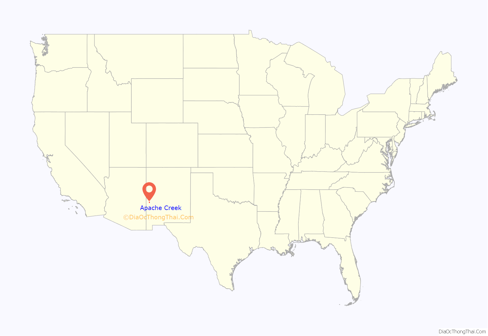
Apache Creek location map. Where is Apache Creek CDP?
History
Apache leaders Mangas Coloradas, Victorio, Geronimo, Chato and Cochise carried on guerrilla warfare against United States settlers in this area. Cochise’s infamous Alma Massacre was carried out from this area, as well. Originally the Apache were friendly to the explorers and colonists, but when their land and water was taken over by the pioneers they fought back. The warfare came to an end after the surrender of Geronimo in 1886.
From 1928 to 1958 Apache Creek had its own post office, and since then mail has gone to Aragon.
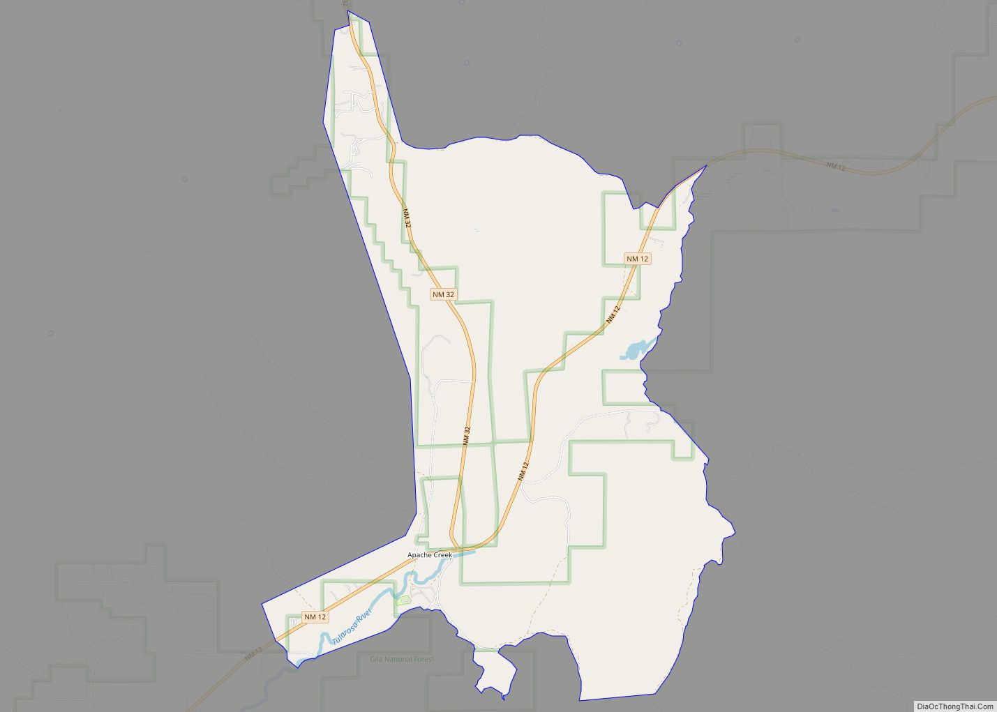
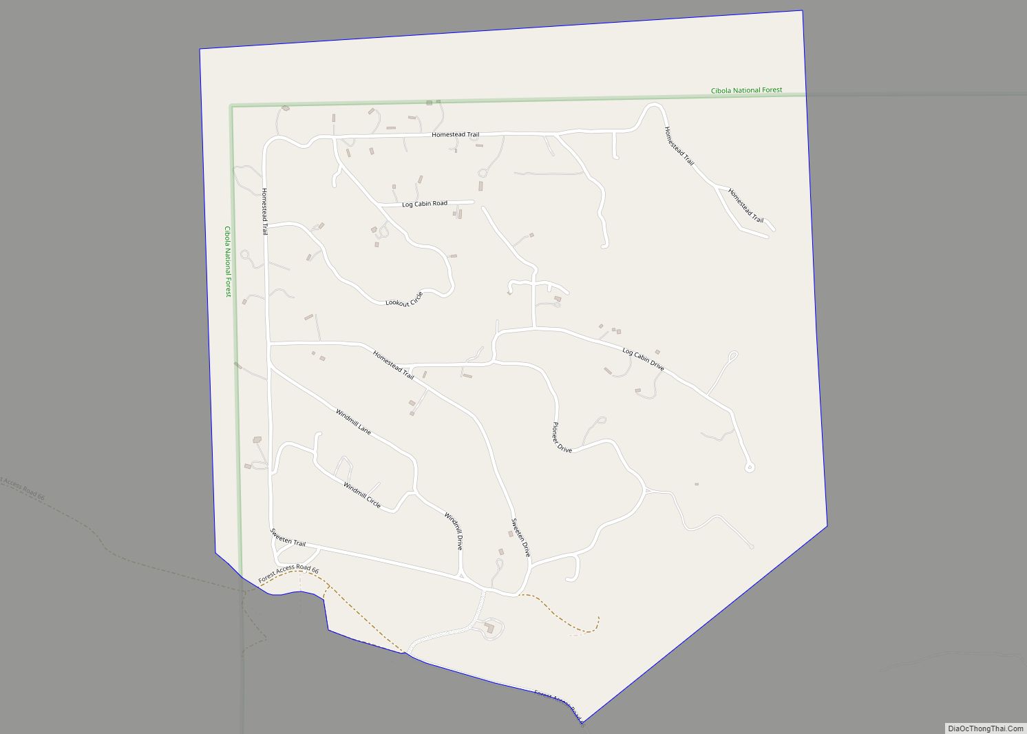
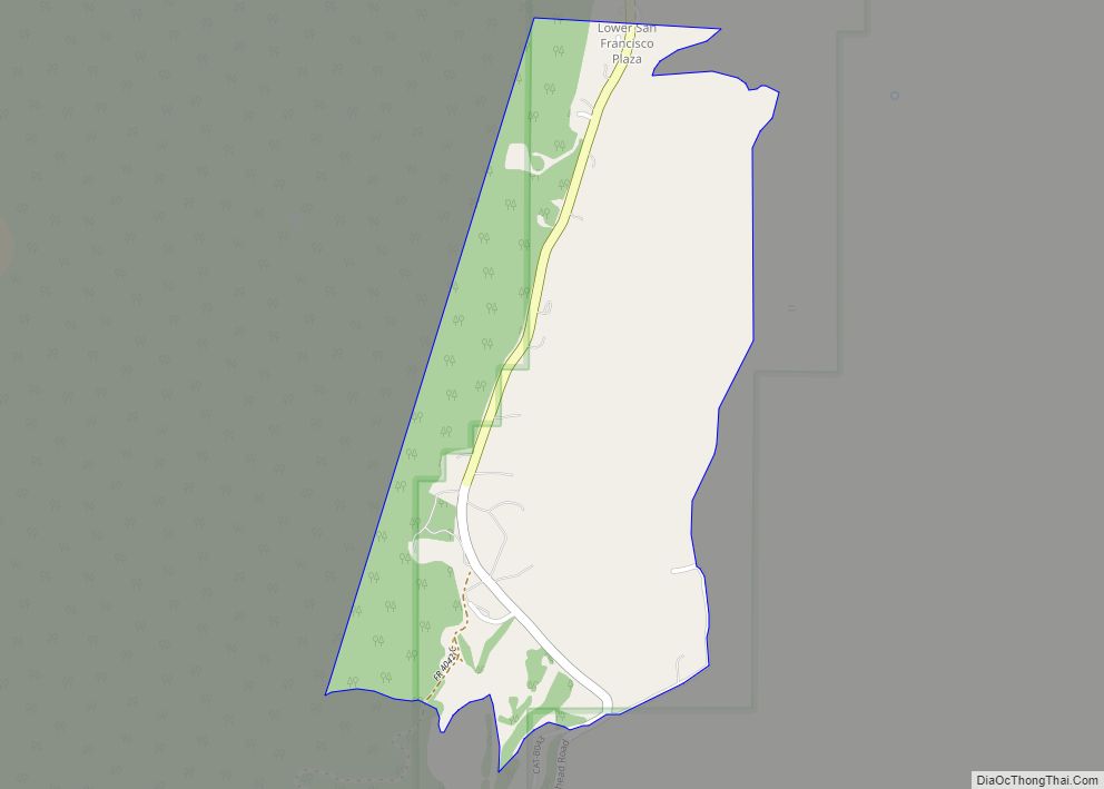
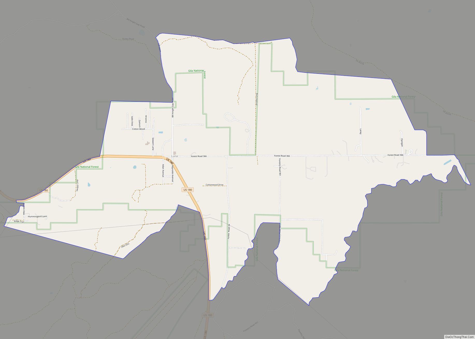
Apache Creek Road Map
Apache Creek city Satellite Map
See also
Map of New Mexico State and its subdivision: Map of other states:- Alabama
- Alaska
- Arizona
- Arkansas
- California
- Colorado
- Connecticut
- Delaware
- District of Columbia
- Florida
- Georgia
- Hawaii
- Idaho
- Illinois
- Indiana
- Iowa
- Kansas
- Kentucky
- Louisiana
- Maine
- Maryland
- Massachusetts
- Michigan
- Minnesota
- Mississippi
- Missouri
- Montana
- Nebraska
- Nevada
- New Hampshire
- New Jersey
- New Mexico
- New York
- North Carolina
- North Dakota
- Ohio
- Oklahoma
- Oregon
- Pennsylvania
- Rhode Island
- South Carolina
- South Dakota
- Tennessee
- Texas
- Utah
- Vermont
- Virginia
- Washington
- West Virginia
- Wisconsin
- Wyoming
