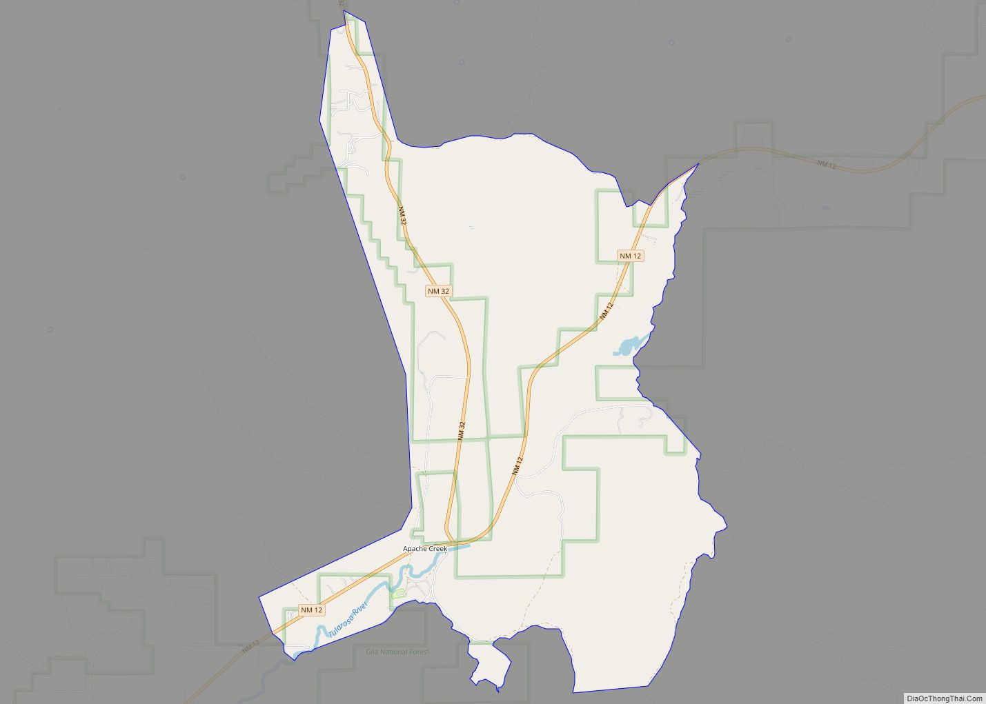
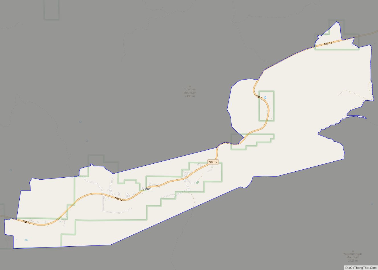
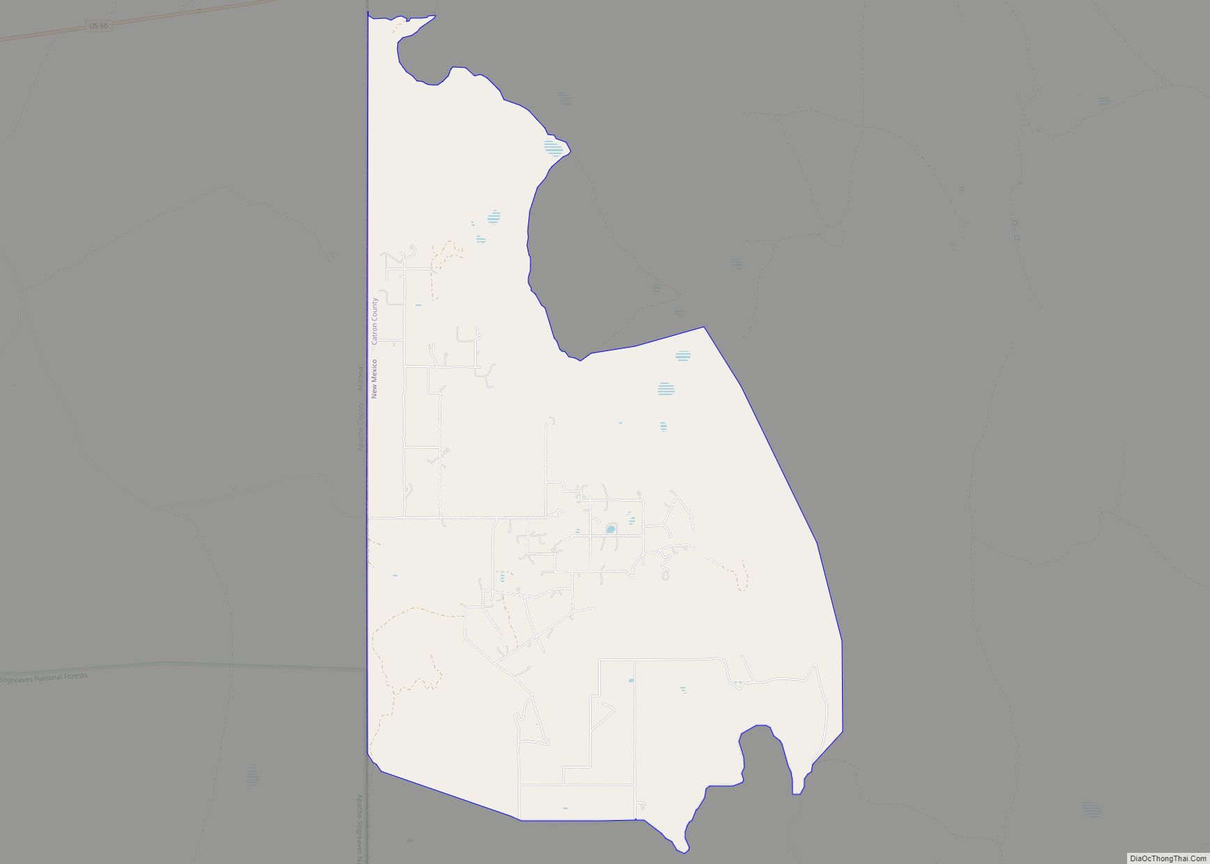
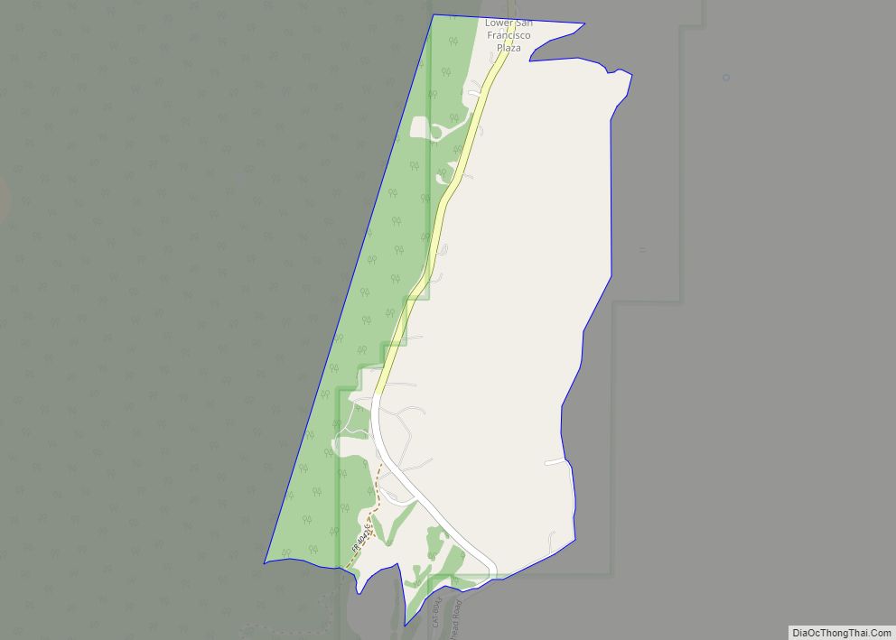
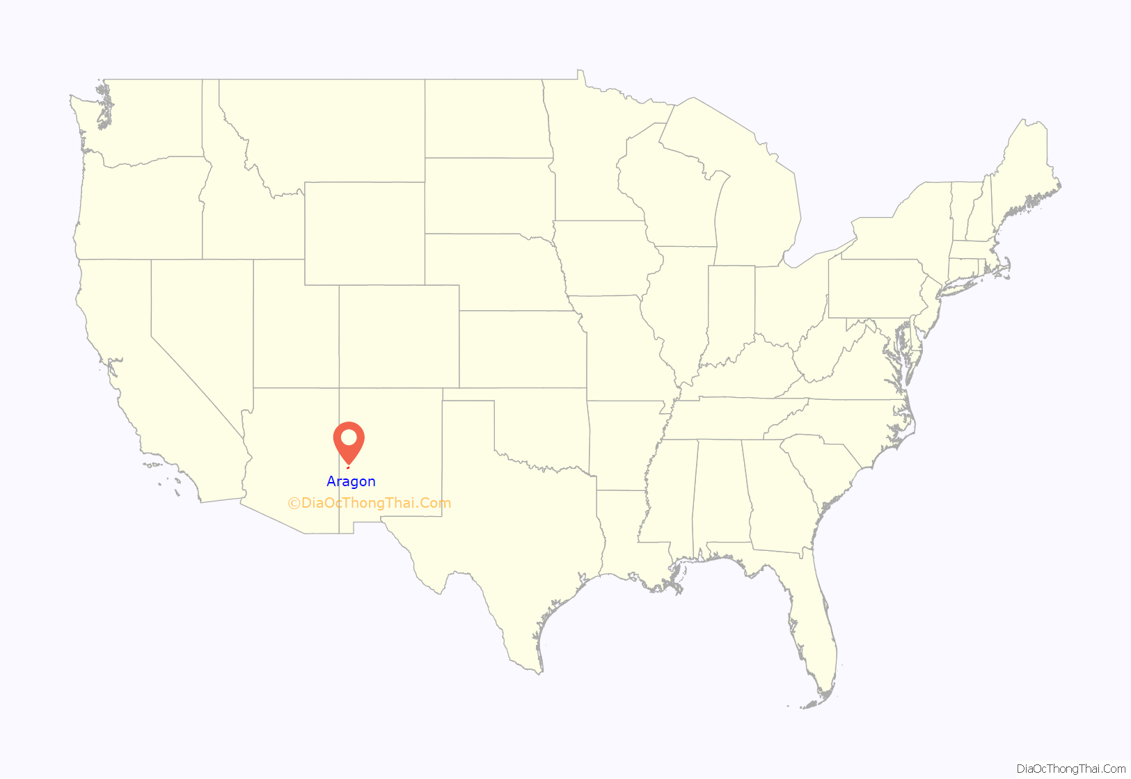
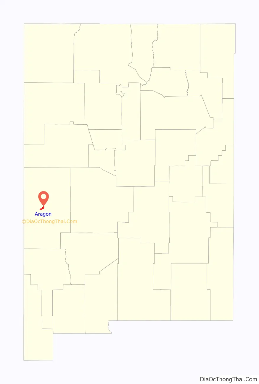
Aragon is a census-designated place on the Tularosa River in Catron County, New Mexico, United States. As of the 2010 census it had a population of 94. It is located at an altitude of 7,135 feet (2,175 m), 7 miles (11 km) northeast of Apache Creek.
The latitude is 33.88 N, longitude 108.54 W.
| Name: | Aragon CDP |
|---|---|
| LSAD Code: | 57 |
| LSAD Description: | CDP (suffix) |
| State: | New Mexico |
| County: | Catron County |
| Total Area: | 8.46 sq mi (21.90 km²) |
| Land Area: | 8.45 sq mi (21.90 km²) |
| Water Area: | 0.00 sq mi (0.01 km²) |
| Total Population: | 76 |
| Population Density: | 8.99/sq mi (3.47/km²) |
| ZIP code: | 87820 |
| Area code: | 575 |
| FIPS code: | 3504450 |
| GNISfeature ID: | 35-04450 |
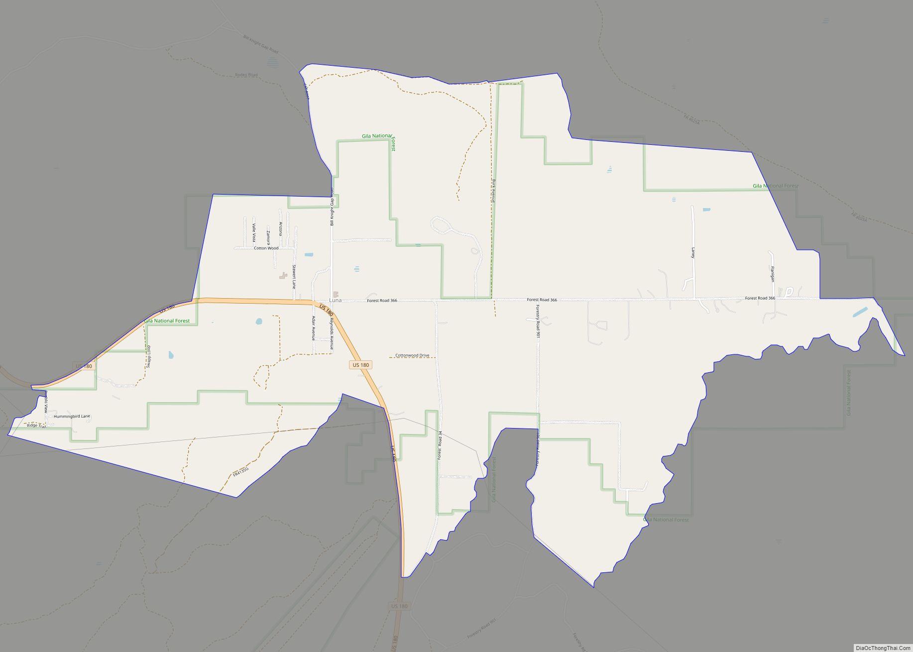
Online Interactive Map
Click on ![]() to view map in "full screen" mode.
to view map in "full screen" mode.
Aragon location map. Where is Aragon CDP?
History
Old Fort Tularosa
Aragon is on the site of former Old Fort Tularosa 33°52′52″N 108°32′18″W / 33.88111°N 108.53833°W / 33.88111; -108.53833, which was built in 1872 to protect the Apache Indian Agency from the Ojo Caliente Band of Apaches. The fort was abandoned when the tribe was moved back to the Ojo Caliente reservation in 1874. A stockade was built on the site of the earlier fort in 1880 by Buffalo Soldiers led by Sergeant George Jordan. Jordan eventually received the Medal of Honor for leading 25 men to repulse a force of more than 100 Indians in the Battle of Fort Tularosa.
The only remaining evidence of the fort is a burial ground for soldiers who served in the Arizona Territory.
The town
The town was known as “Joseph” from 1887 to 1898 and 1901 to 1906. Since 1906 it has been known as “Aragon”, named for an old Spanish family who still lives in the area. Near Aragon, on the north side of Tularosa Canyon, a cave was occupied from 400 B.C. to A.D. 1100, containing pits and later masonry rooms.
River
Road
Aragon Road Map
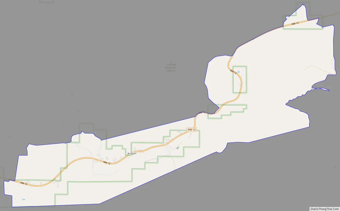
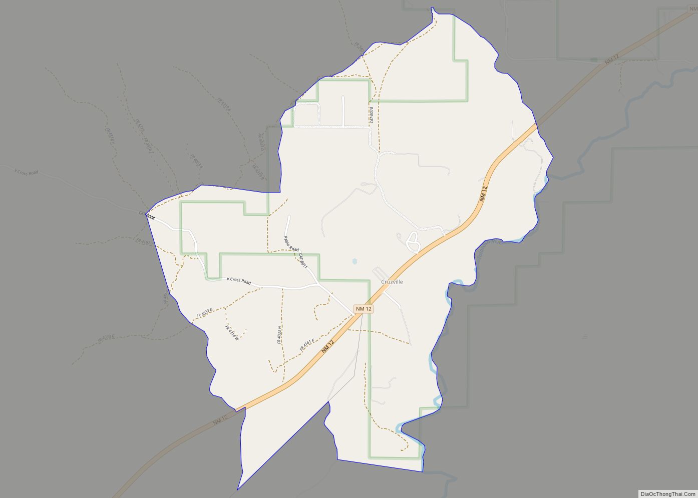
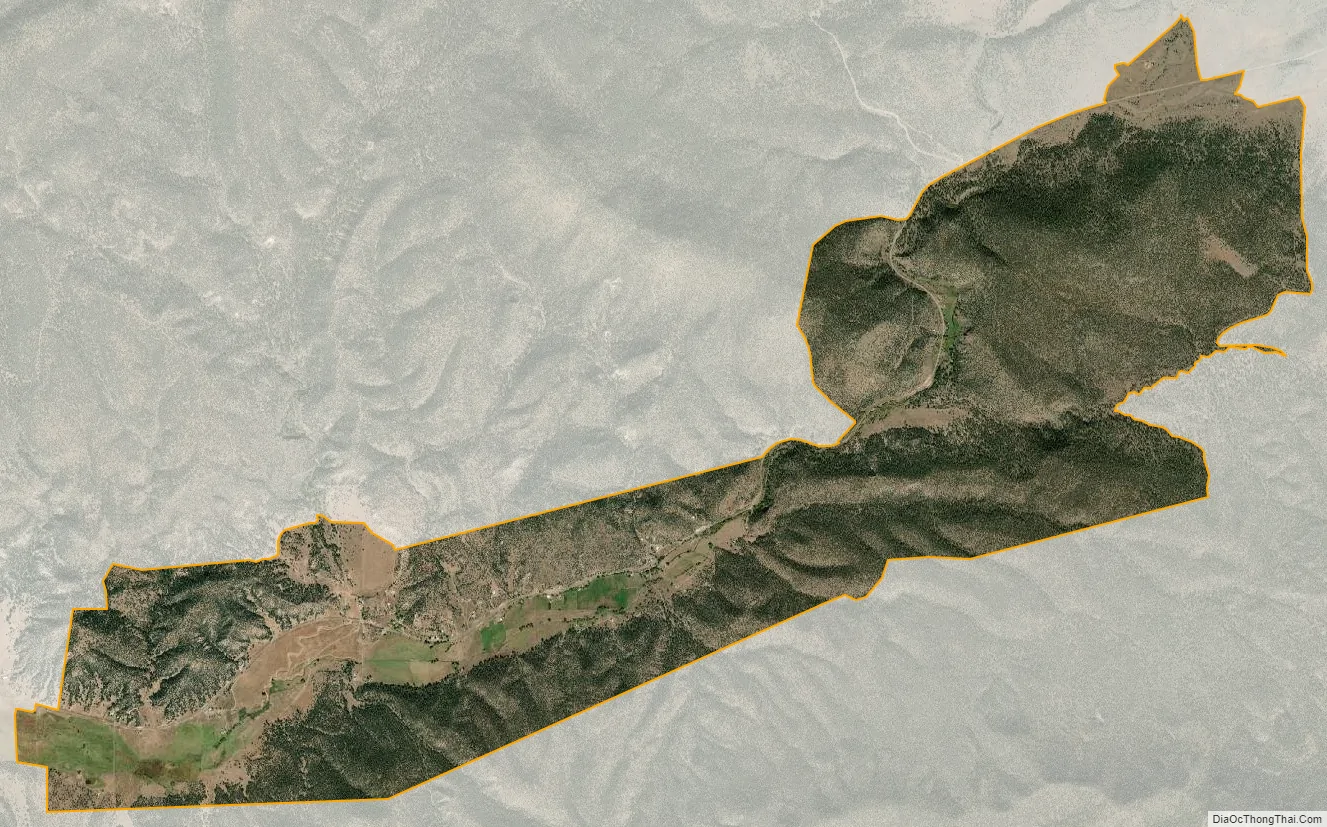
Aragon city Satellite Map
See also
Map of New Mexico State and its subdivision: Map of other states:- Alabama
- Alaska
- Arizona
- Arkansas
- California
- Colorado
- Connecticut
- Delaware
- District of Columbia
- Florida
- Georgia
- Hawaii
- Idaho
- Illinois
- Indiana
- Iowa
- Kansas
- Kentucky
- Louisiana
- Maine
- Maryland
- Massachusetts
- Michigan
- Minnesota
- Mississippi
- Missouri
- Montana
- Nebraska
- Nevada
- New Hampshire
- New Jersey
- New Mexico
- New York
- North Carolina
- North Dakota
- Ohio
- Oklahoma
- Oregon
- Pennsylvania
- Rhode Island
- South Carolina
- South Dakota
- Tennessee
- Texas
- Utah
- Vermont
- Virginia
- Washington
- West Virginia
- Wisconsin
- Wyoming