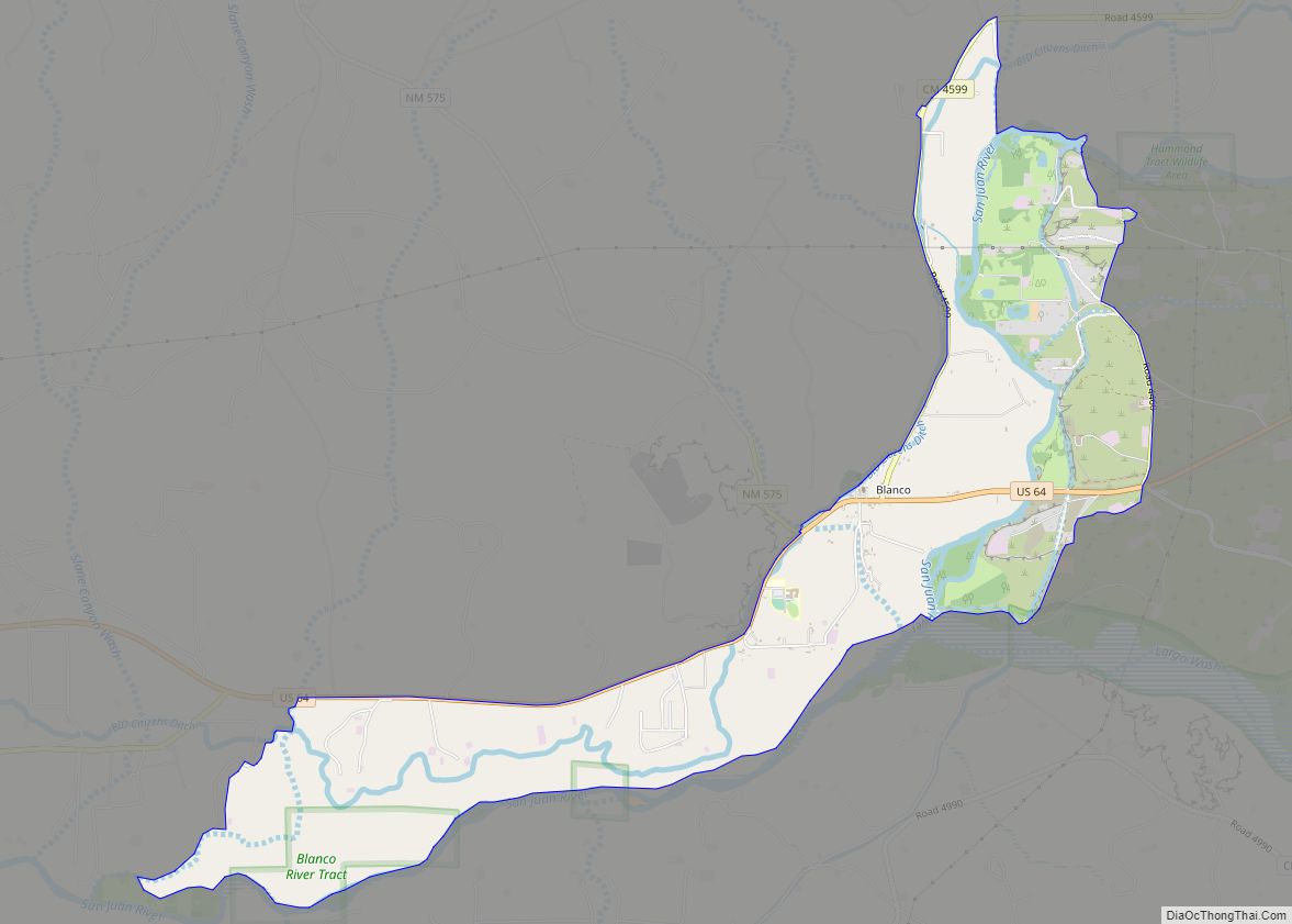
Blanco is a census-designated place in San Juan County, New Mexico, United States. Its population was 388 as of the 2010 census. Blanco has a post office with ZIP code 87412, which opened on March 6, 1901. U.S. Route 64 passes through the community.
A parish was established in Blanco in 1900 with St. Rose of Lima Catholic Church being the mother church for many missions.
| Name: | Blanco CDP |
|---|---|
| LSAD Code: | 57 |
| LSAD Description: | CDP (suffix) |
| State: | New Mexico |
| County: | San Juan County |
| Elevation: | 5,568 ft (1,697 m) |
| Total Area: | 6.49 sq mi (16.80 km²) |
| Land Area: | 6.14 sq mi (15.92 km²) |
| Water Area: | 0.34 sq mi (0.89 km²) |
| Total Population: | 491 |
| Population Density: | 79.90/sq mi (30.85/km²) |
| ZIP code: | 87412 |
| Area code: | 505 |
| FIPS code: | 3507810 |
| GNISfeature ID: | 898633 |
Online Interactive Map
Click on ![]() to view map in "full screen" mode.
to view map in "full screen" mode.
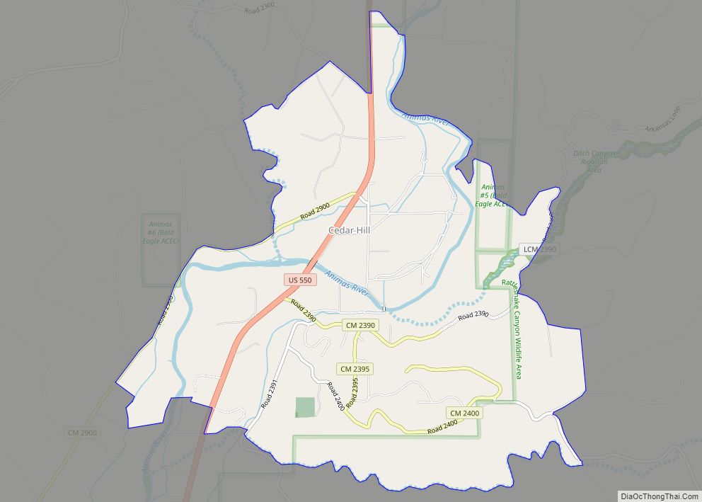
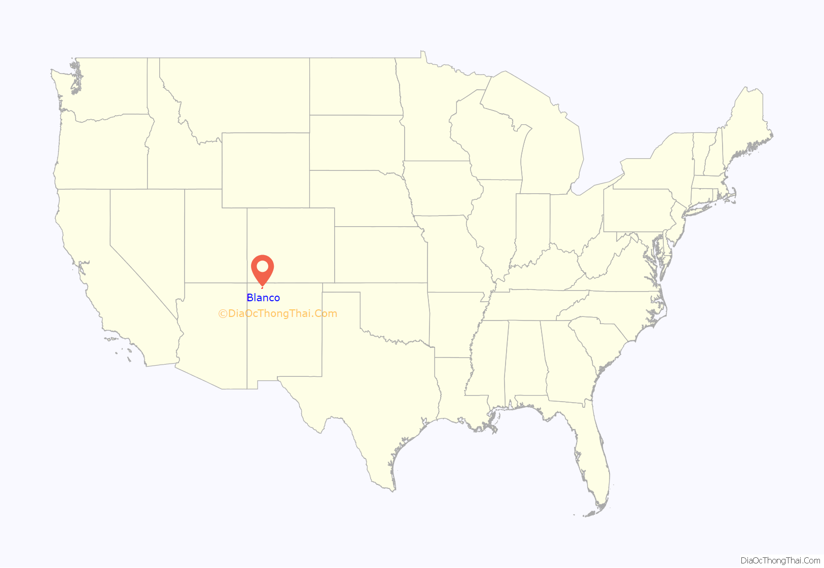
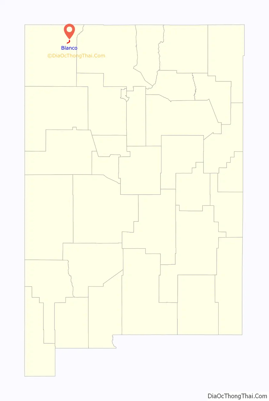
Blanco location map. Where is Blanco CDP?
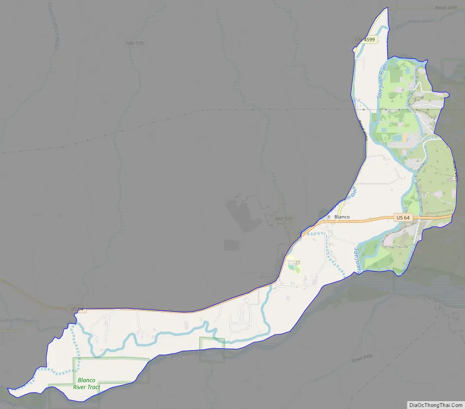
Blanco Road Map
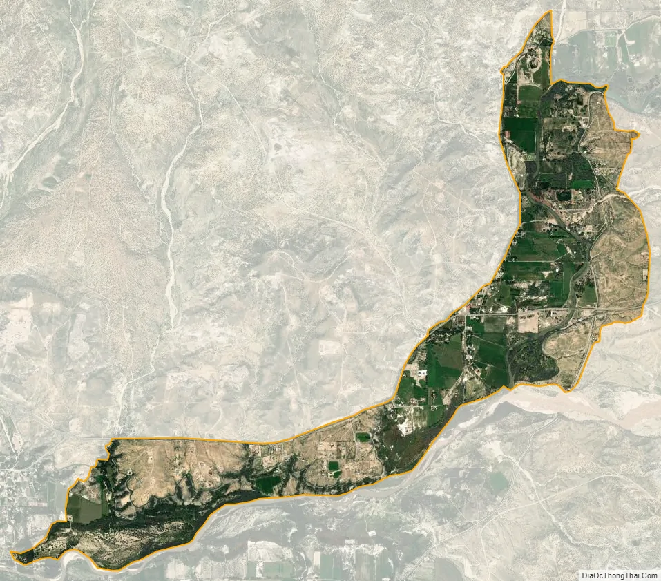
Blanco city Satellite Map
See also
Map of New Mexico State and its subdivision: Map of other states:- Alabama
- Alaska
- Arizona
- Arkansas
- California
- Colorado
- Connecticut
- Delaware
- District of Columbia
- Florida
- Georgia
- Hawaii
- Idaho
- Illinois
- Indiana
- Iowa
- Kansas
- Kentucky
- Louisiana
- Maine
- Maryland
- Massachusetts
- Michigan
- Minnesota
- Mississippi
- Missouri
- Montana
- Nebraska
- Nevada
- New Hampshire
- New Jersey
- New Mexico
- New York
- North Carolina
- North Dakota
- Ohio
- Oklahoma
- Oregon
- Pennsylvania
- Rhode Island
- South Carolina
- South Dakota
- Tennessee
- Texas
- Utah
- Vermont
- Virginia
- Washington
- West Virginia
- Wisconsin
- Wyoming