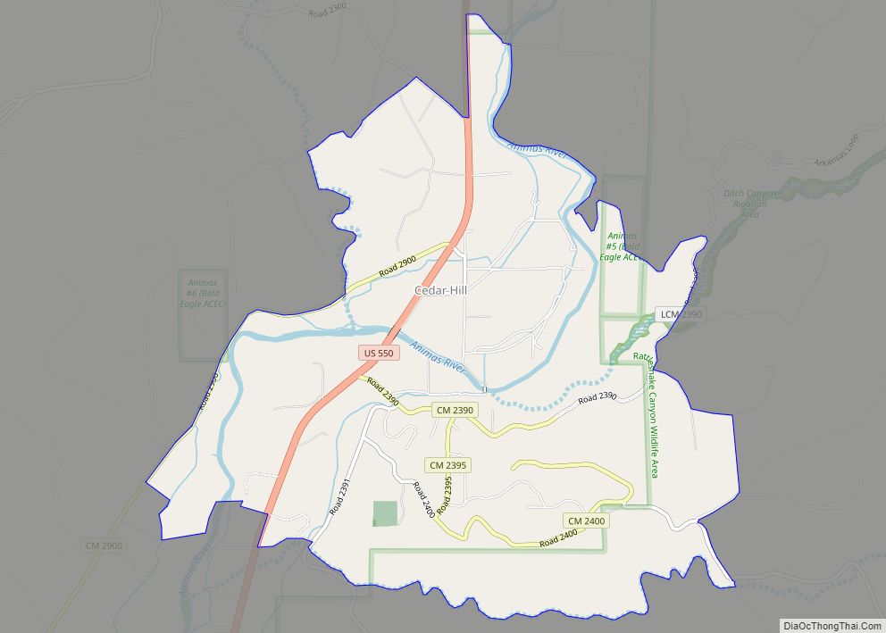
Cedar Hill is an unincorporated community and census-designated place in San Juan County, New Mexico, United States. Its population was 847 as of the 2010 census. The community is located on U.S. Route 550, near the Colorado border. Cedar Hill was originally known as Cox’s Crossing. The name was chosen during a Literacy Society meeting by picking names out of a hat. A post office operated from 1892 to 1966.
| Name: | Cedar Hill CDP |
|---|---|
| LSAD Code: | 57 |
| LSAD Description: | CDP (suffix) |
| State: | New Mexico |
| County: | San Juan County |
| Elevation: | 5,863 ft (1,787 m) |
| Total Area: | 9.70 sq mi (25.12 km²) |
| Land Area: | 9.40 sq mi (24.35 km²) |
| Water Area: | 0.30 sq mi (0.77 km²) |
| Total Population: | 1,130 |
| Population Density: | 120.21/sq mi (46.41/km²) |
| Area code: | 505 |
| FIPS code: | 3513340 |
| GNISfeature ID: | 902202 |
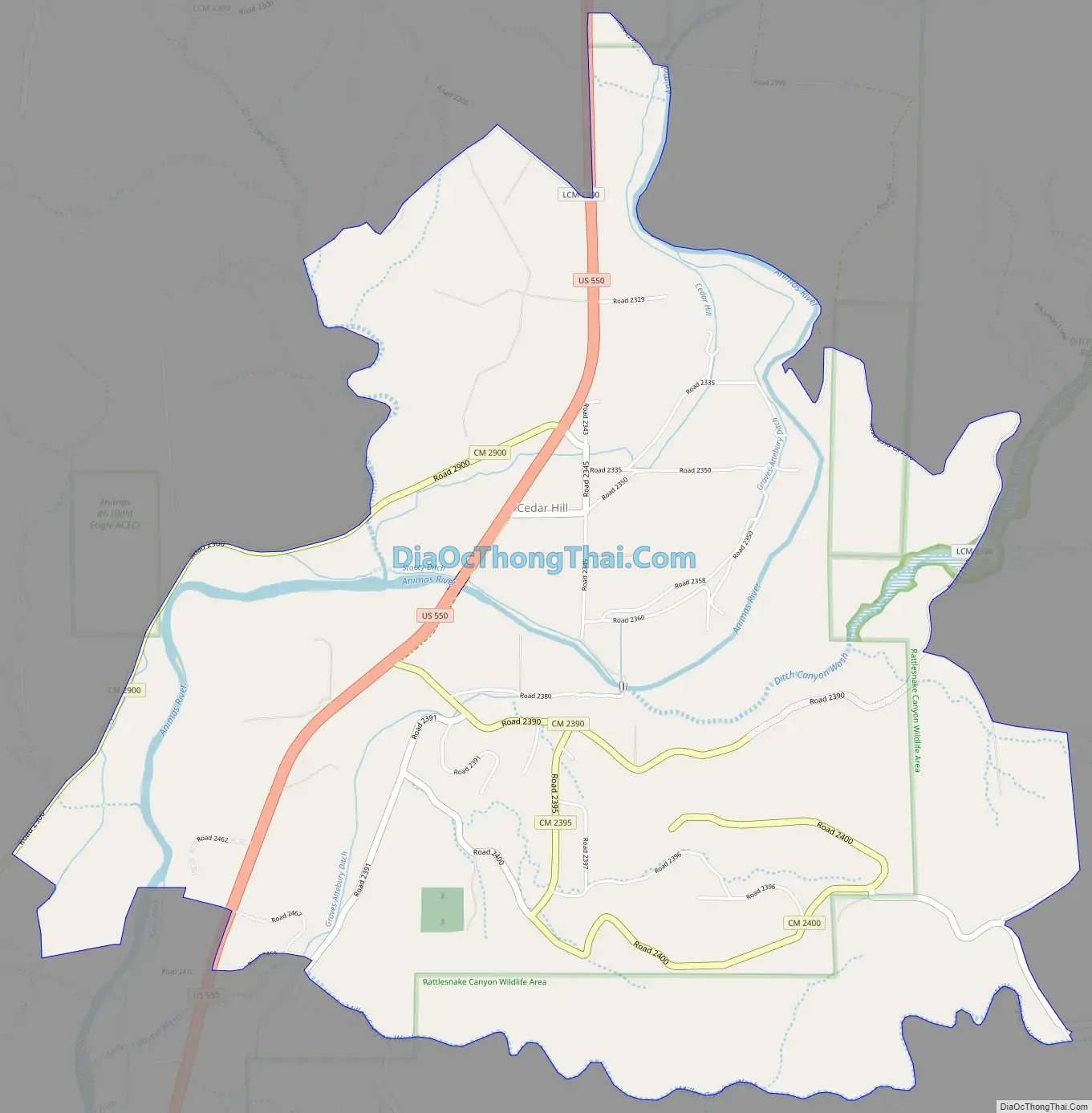
Online Interactive Map
Click on ![]() to view map in "full screen" mode.
to view map in "full screen" mode.
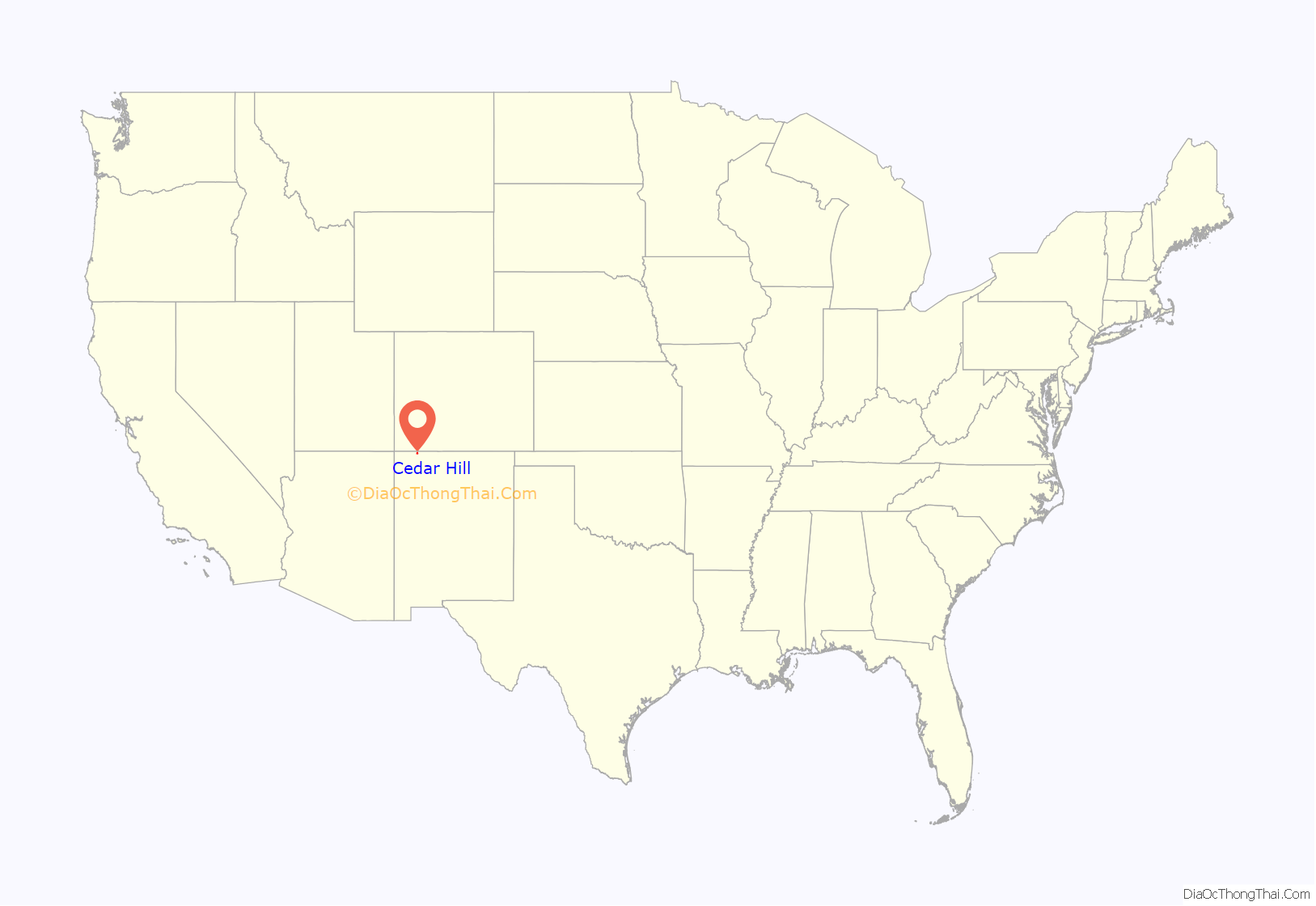
Cedar Hill location map. Where is Cedar Hill CDP?
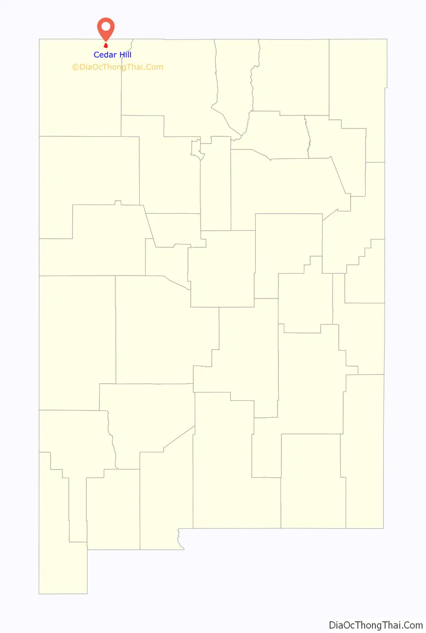
Cedar Hill Road Map
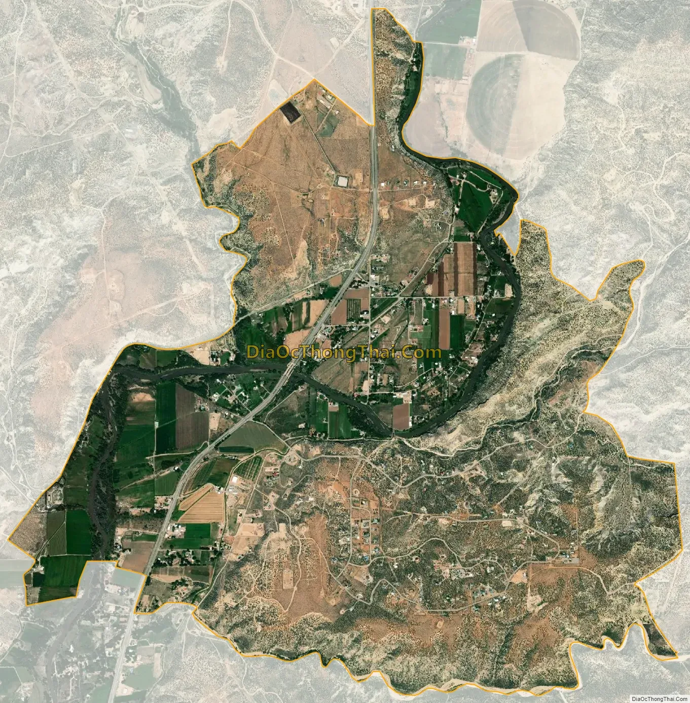
Cedar Hill city Satellite Map
Geography
Cedar Hill is located at 36°56′13″N 107°53′25″W / 36.9369472°N 107.8903431°W / 36.9369472; -107.8903431. According to the U.S. Census Bureau, the community has an area of 5.561 square miles (14.40 km); 5.352 square miles (13.86 km) of its area is land, and 0.209 square miles (0.54 km) is water.
See also
Map of New Mexico State and its subdivision: Map of other states:- Alabama
- Alaska
- Arizona
- Arkansas
- California
- Colorado
- Connecticut
- Delaware
- District of Columbia
- Florida
- Georgia
- Hawaii
- Idaho
- Illinois
- Indiana
- Iowa
- Kansas
- Kentucky
- Louisiana
- Maine
- Maryland
- Massachusetts
- Michigan
- Minnesota
- Mississippi
- Missouri
- Montana
- Nebraska
- Nevada
- New Hampshire
- New Jersey
- New Mexico
- New York
- North Carolina
- North Dakota
- Ohio
- Oklahoma
- Oregon
- Pennsylvania
- Rhode Island
- South Carolina
- South Dakota
- Tennessee
- Texas
- Utah
- Vermont
- Virginia
- Washington
- West Virginia
- Wisconsin
- Wyoming