Chili is an unincorporated community and census-designated place in Rio Arriba County, New Mexico. Its population was 654 as of the 2010 census. U.S. Route 84 passes through the community. The name comes from a station of the D&RG railroad that was known locally as the “Chili Line.”
| Name: | Chili CDP |
|---|---|
| LSAD Code: | 57 |
| LSAD Description: | CDP (suffix) |
| State: | New Mexico |
| County: | Rio Arriba County |
| Elevation: | 5,745 ft (1,751 m) |
| Total Area: | 3.32 sq mi (8.59 km²) |
| Land Area: | 3.28 sq mi (8.50 km²) |
| Water Area: | 0.03 sq mi (0.09 km²) |
| Total Population: | 541 |
| Population Density: | 164.79/sq mi (63.62/km²) |
| Area code: | 505 |
| FIPS code: | 3514810 |
| GNISfeature ID: | 905096 |
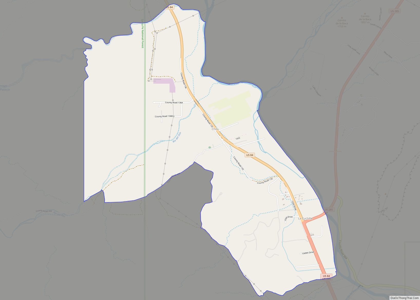
Online Interactive Map
Click on ![]() to view map in "full screen" mode.
to view map in "full screen" mode.
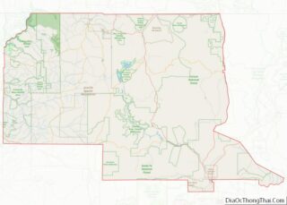
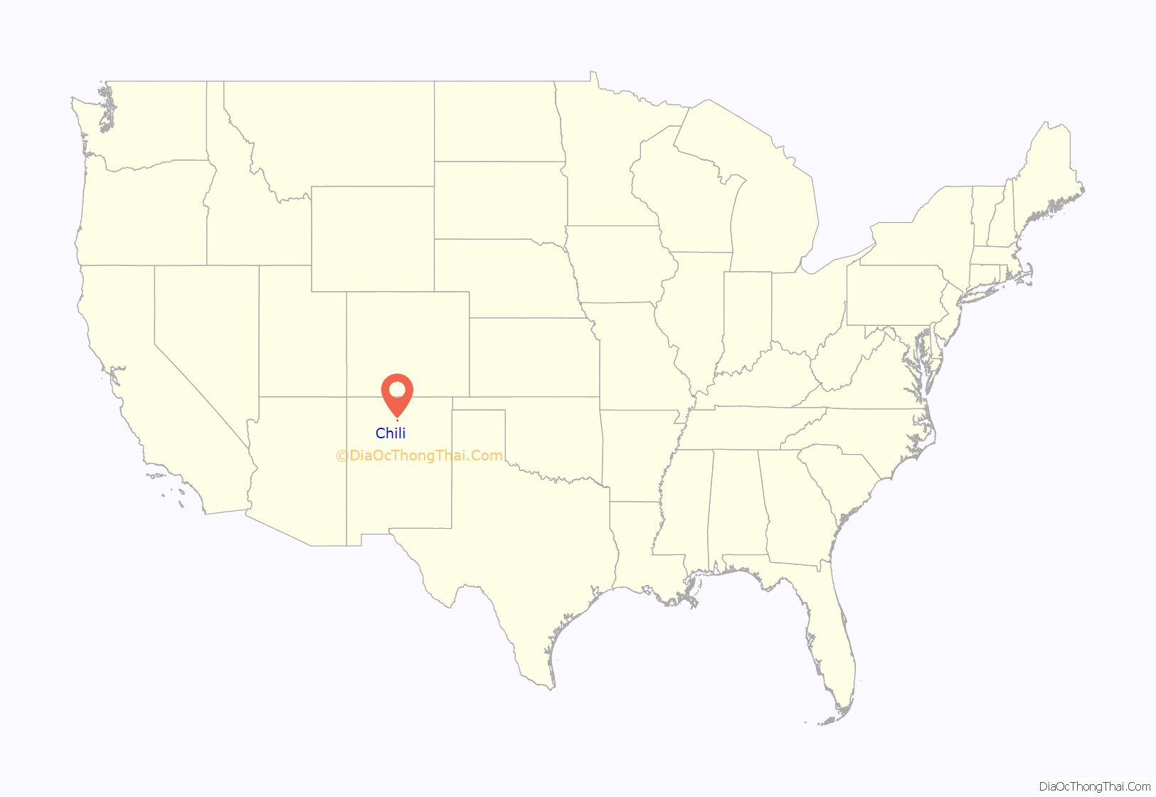
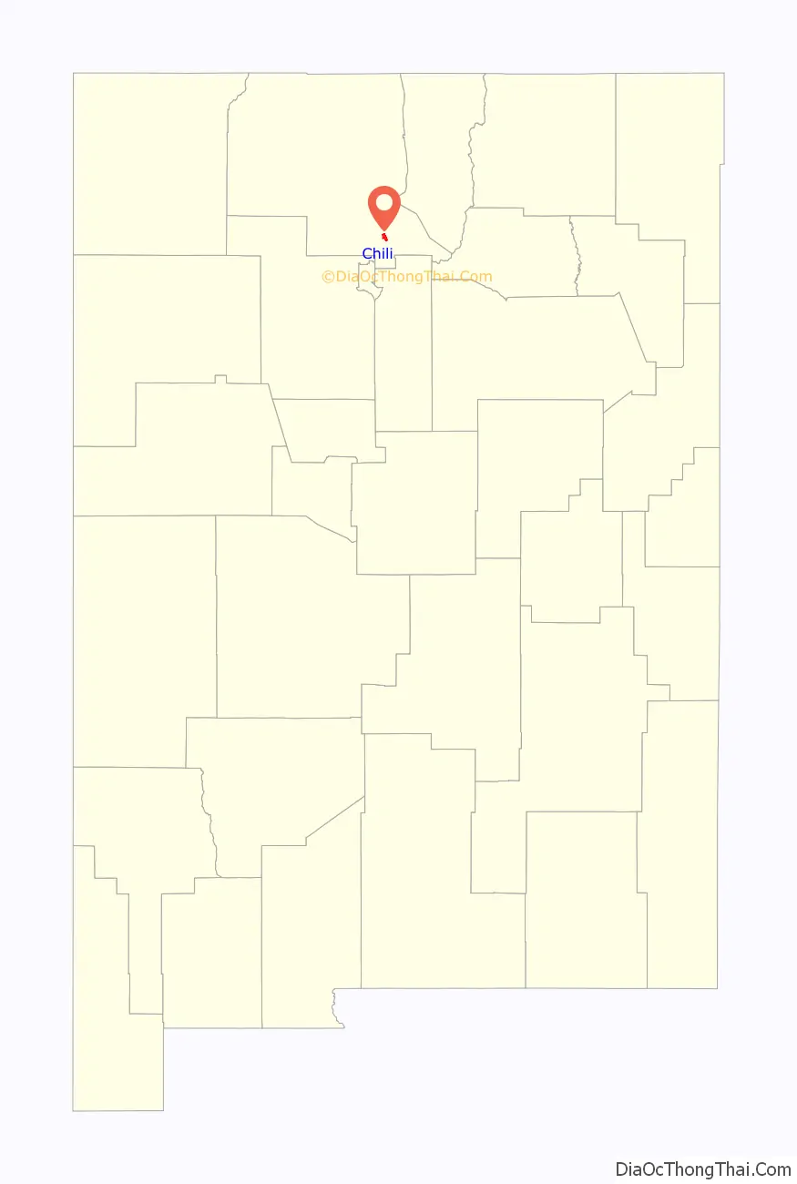
Chili location map. Where is Chili CDP?
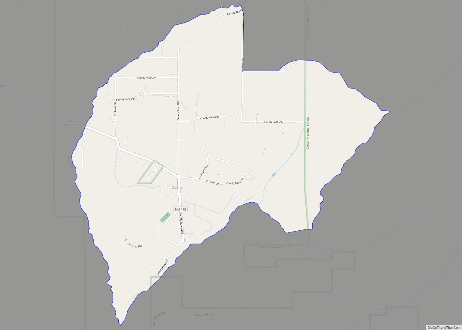
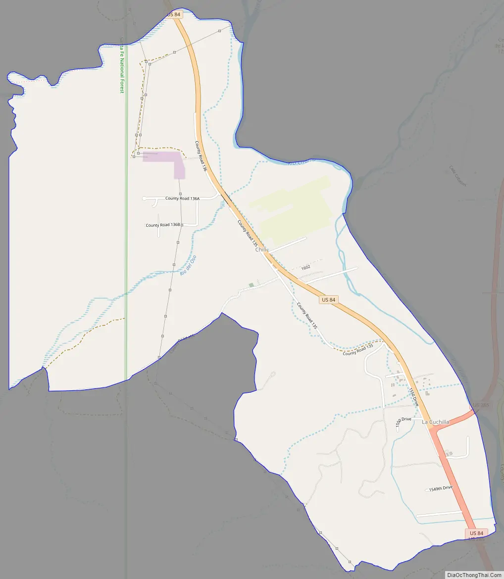
Chili Road Map
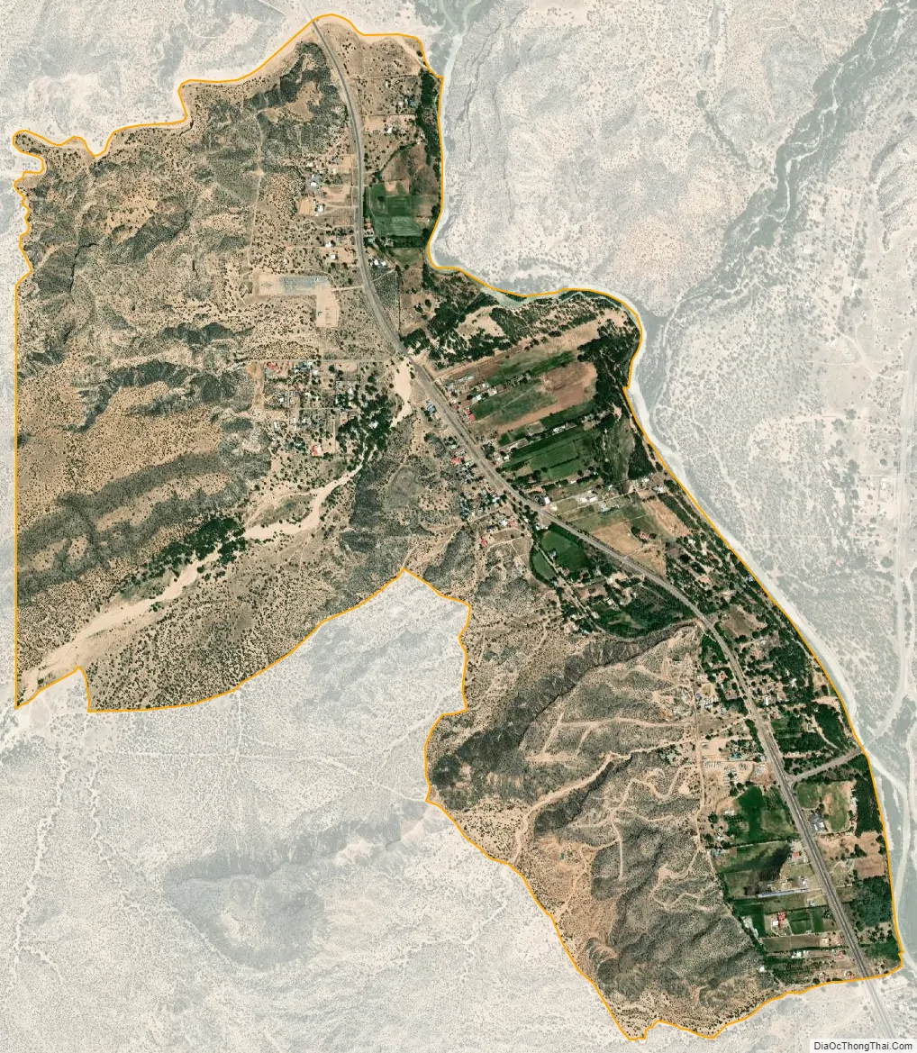
Chili city Satellite Map
Geography
Chili is located at 36°06′18″N 106°08′59″W / 36.1050216°N 106.1497467°W / 36.1050216; -106.1497467. According to the U.S. Census Bureau, the community has an area of 3.317 square miles (8.59 km); 3.283 square miles (8.50 km) of its area is land, and 0.034 square miles (0.088 km) is water.
The Rio del Oso flows by or through Chili, within its zip code 87537, where it crosses under U.S. Route 84, and forms part of the northwest boundary of this zip code region. The Rio Chama forms the northeast boundary of this zip code region.
See also
Map of New Mexico State and its subdivision: Map of other states:- Alabama
- Alaska
- Arizona
- Arkansas
- California
- Colorado
- Connecticut
- Delaware
- District of Columbia
- Florida
- Georgia
- Hawaii
- Idaho
- Illinois
- Indiana
- Iowa
- Kansas
- Kentucky
- Louisiana
- Maine
- Maryland
- Massachusetts
- Michigan
- Minnesota
- Mississippi
- Missouri
- Montana
- Nebraska
- Nevada
- New Hampshire
- New Jersey
- New Mexico
- New York
- North Carolina
- North Dakota
- Ohio
- Oklahoma
- Oregon
- Pennsylvania
- Rhode Island
- South Carolina
- South Dakota
- Tennessee
- Texas
- Utah
- Vermont
- Virginia
- Washington
- West Virginia
- Wisconsin
- Wyoming