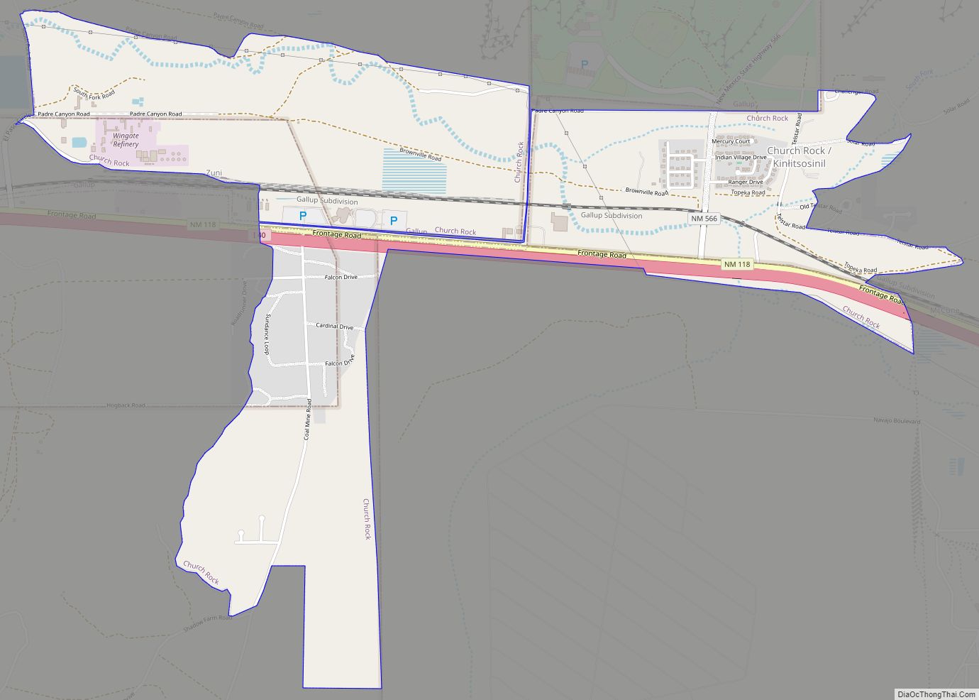
Church Rock (Navajo: Kinłitsosinil) is a census-designated place (CDP) in McKinley County, New Mexico, United States. The population was 1,128 at the 2010 census. Church Rock is named for Church Rock, a prominent natural landmark with the same name.
| Name: | Church Rock CDP |
|---|---|
| LSAD Code: | 57 |
| LSAD Description: | CDP (suffix) |
| State: | New Mexico |
| County: | McKinley County |
| Elevation: | 6,686 ft (2,038 m) |
| Total Area: | 18.34 sq mi (47.50 km²) |
| Land Area: | 18.34 sq mi (47.50 km²) |
| Water Area: | 0.00 sq mi (0.00 km²) |
| Total Population: | 1,542 |
| Population Density: | 84.07/sq mi (32.46/km²) |
| ZIP code: | 87311 |
| Area code: | 505 |
| FIPS code: | 3515370 |
| GNISfeature ID: | 0902212 |
| Website: | http://churchrock.navajochapters.org |
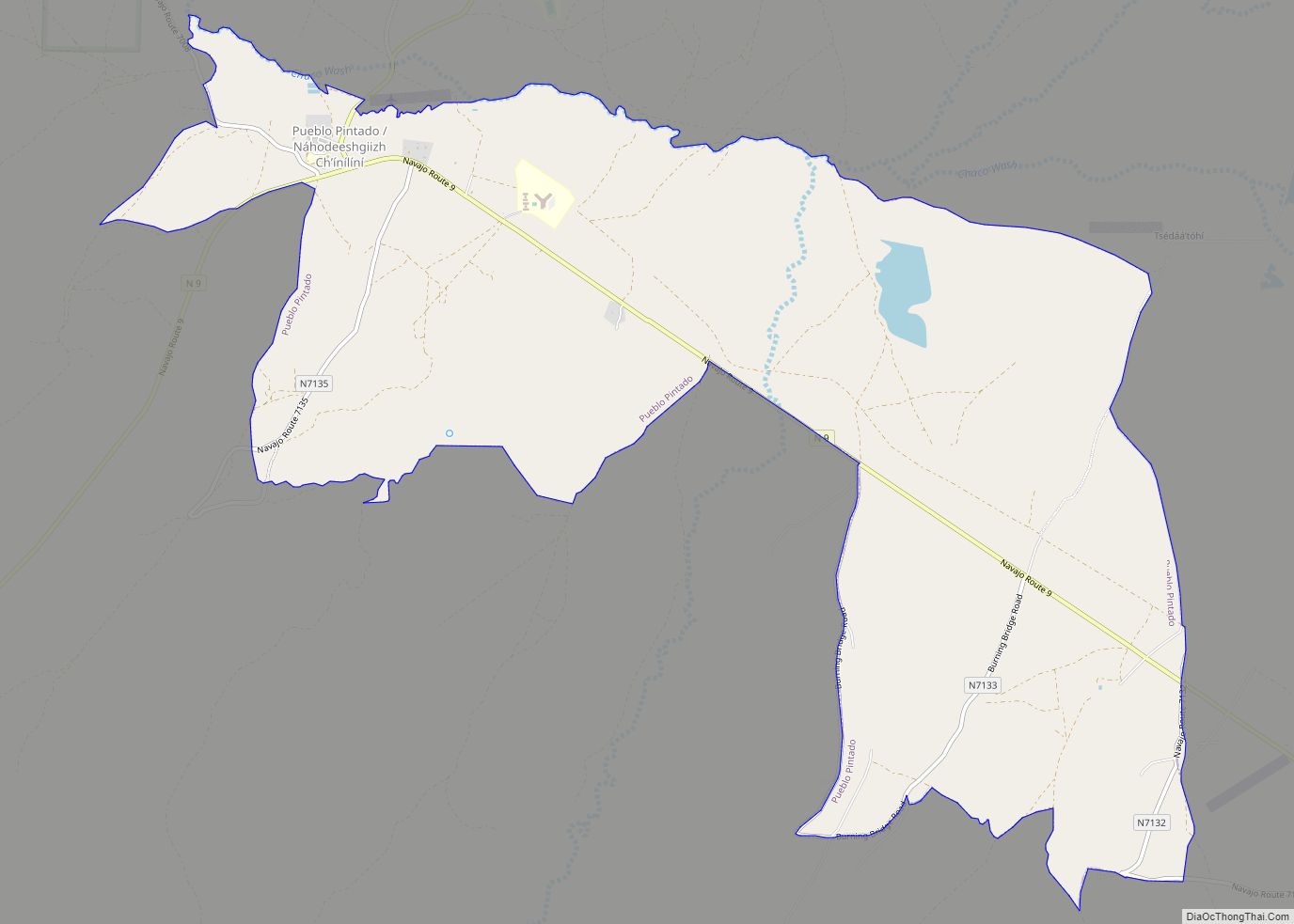
Online Interactive Map
Click on ![]() to view map in "full screen" mode.
to view map in "full screen" mode.
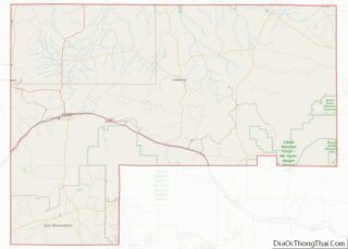
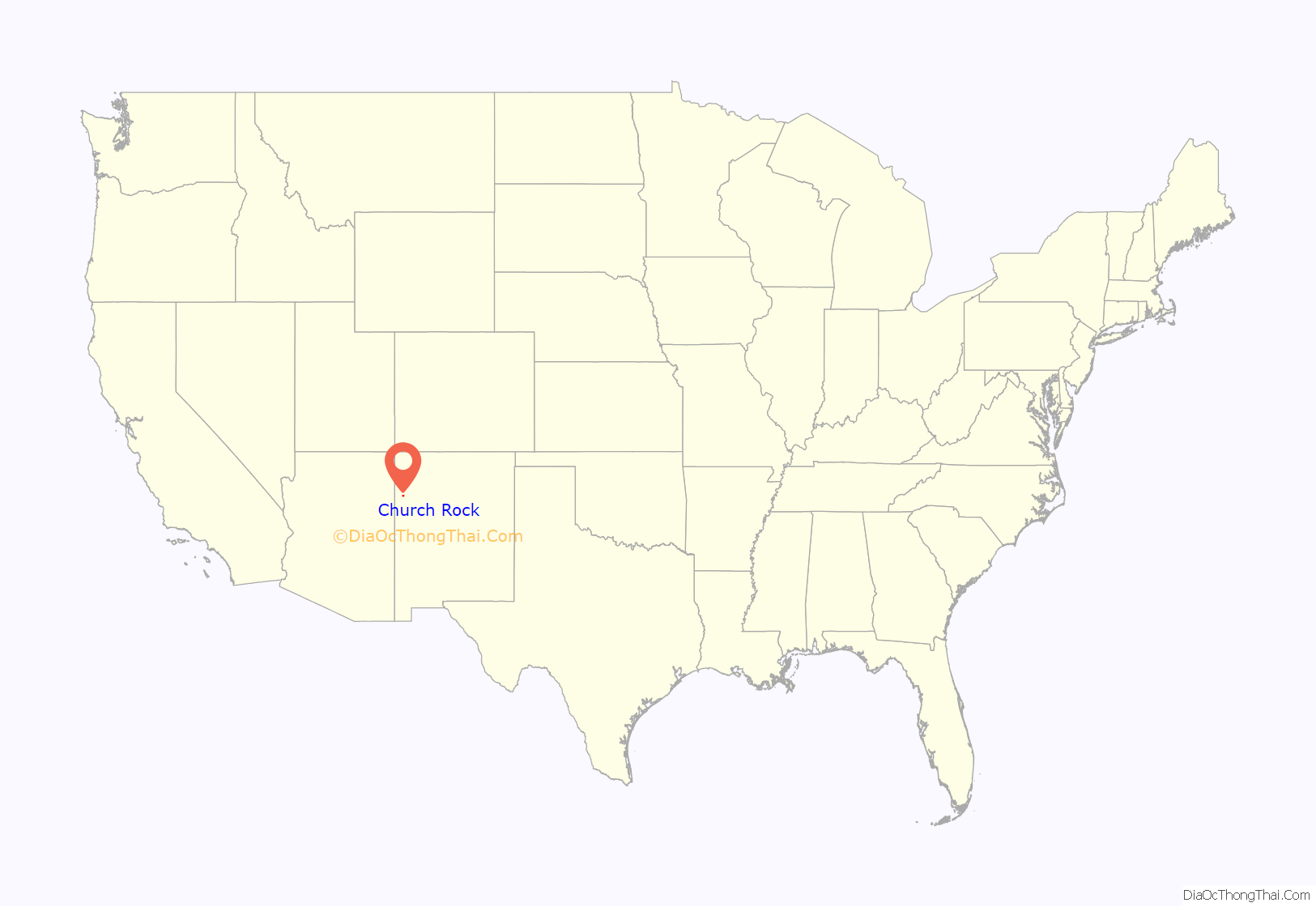
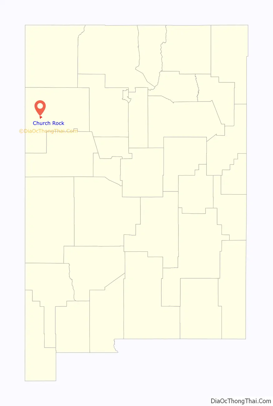
Church Rock location map. Where is Church Rock CDP?
History
On July 15, 2019, a body was found in the trunk of a burning automobile near Church Rock. The FBI published a media alert.
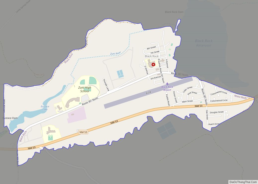
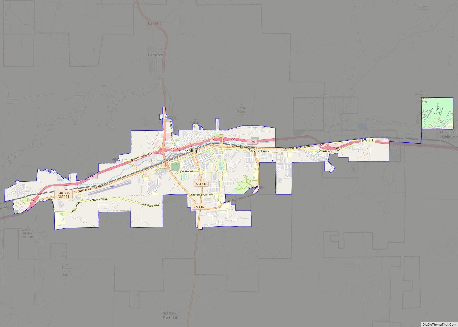
Church Rock Road Map
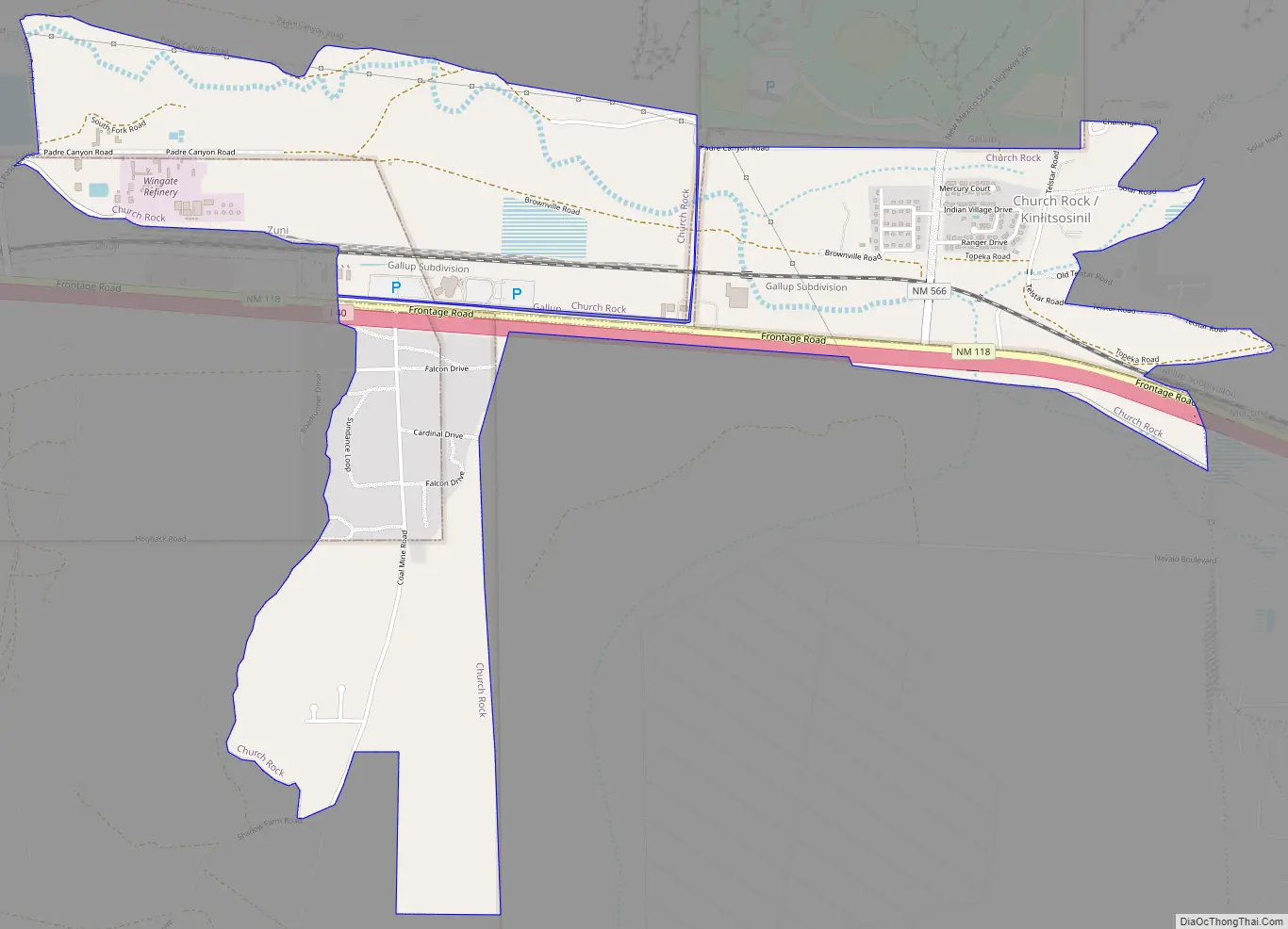
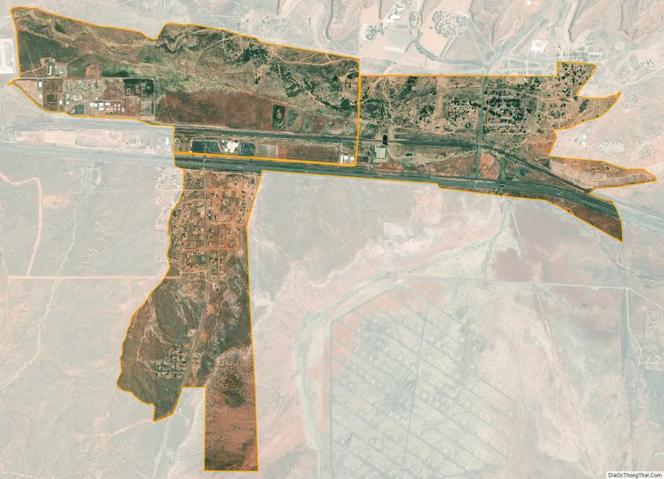
Church Rock city Satellite Map
Geography
Church Rock is located at 35°32′6″N 108°36′42″W / 35.53500°N 108.61167°W / 35.53500; -108.61167 (35.534961, -108.611593).
According to the United States Census Bureau, the CDP has a total area of 2.3 square miles (6.0 km), of which 2.3 square miles (6.0 km) is land and 0.03 square miles (0.078 km) (1.2%) is water.
See also
Map of New Mexico State and its subdivision: Map of other states:- Alabama
- Alaska
- Arizona
- Arkansas
- California
- Colorado
- Connecticut
- Delaware
- District of Columbia
- Florida
- Georgia
- Hawaii
- Idaho
- Illinois
- Indiana
- Iowa
- Kansas
- Kentucky
- Louisiana
- Maine
- Maryland
- Massachusetts
- Michigan
- Minnesota
- Mississippi
- Missouri
- Montana
- Nebraska
- Nevada
- New Hampshire
- New Jersey
- New Mexico
- New York
- North Carolina
- North Dakota
- Ohio
- Oklahoma
- Oregon
- Pennsylvania
- Rhode Island
- South Carolina
- South Dakota
- Tennessee
- Texas
- Utah
- Vermont
- Virginia
- Washington
- West Virginia
- Wisconsin
- Wyoming