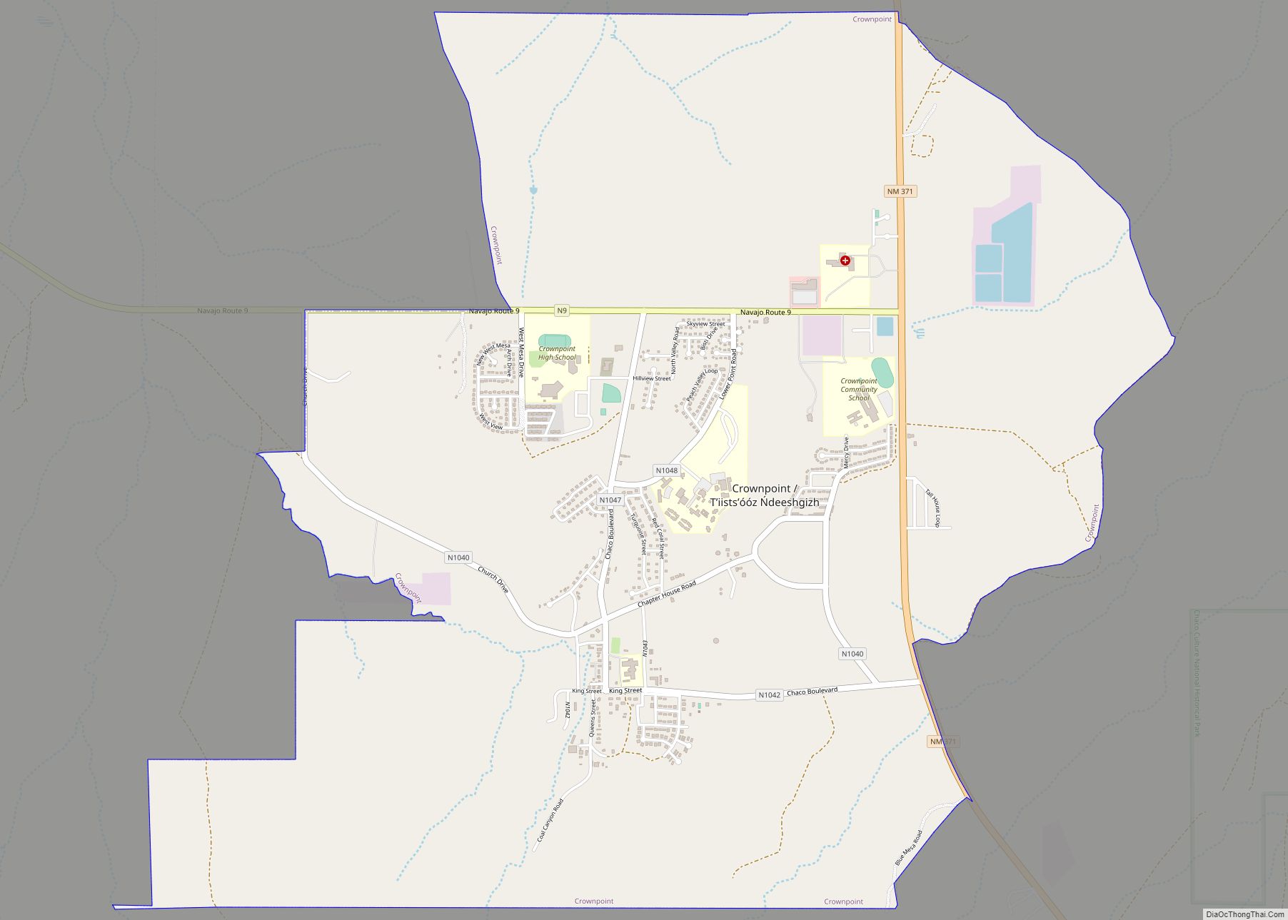
Crownpoint (Navajo: Tʼiistsʼóóz Ńdeeshgizh) is a census-designated place (CDP) on the Navajo Nation in McKinley County, New Mexico. The population was 2,500 at the time of the 2010 census. It is located along the Trails of the Ancients Byway, one of the designated New Mexico Scenic Byways.
| Name: | Crownpoint CDP |
|---|---|
| LSAD Code: | 57 |
| LSAD Description: | CDP (suffix) |
| State: | New Mexico |
| County: | McKinley County |
| Elevation: | 6,982 ft (2,128 m) |
| Total Area: | 67.51 sq mi (174.85 km²) |
| Land Area: | 67.51 sq mi (174.84 km²) |
| Water Area: | 0.00 sq mi (0.01 km²) |
| Total Population: | 2,900 |
| Population Density: | 42.96/sq mi (16.59/km²) |
| ZIP code: | 87313 |
| Area code: | 505 |
| FIPS code: | 3518940 |
| GNISfeature ID: | 0902810 |
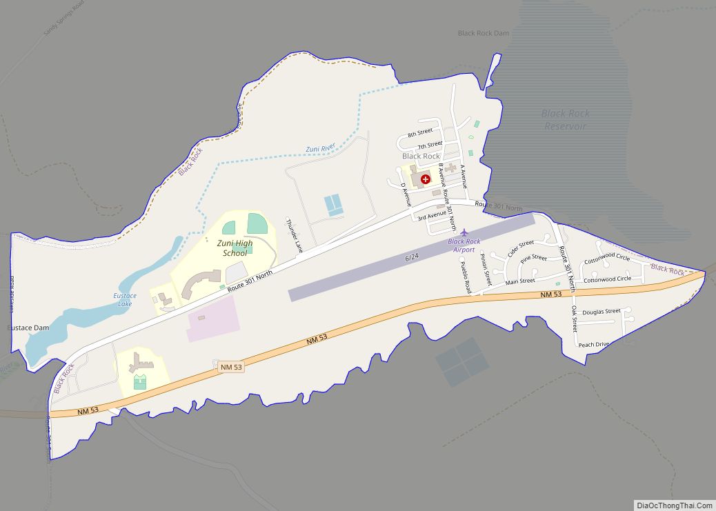
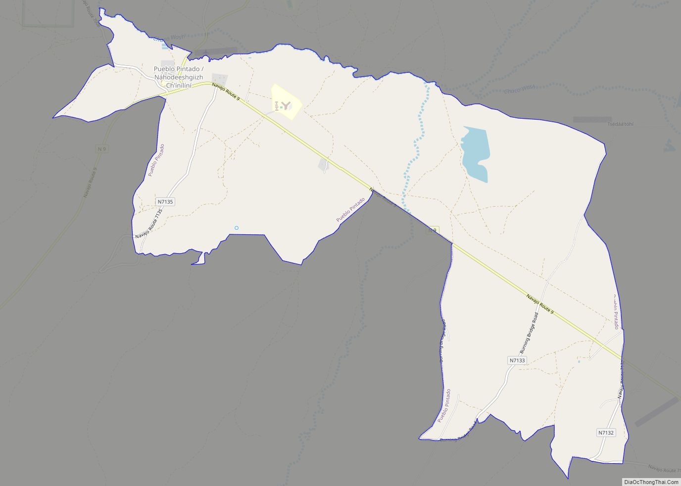
Online Interactive Map
Click on ![]() to view map in "full screen" mode.
to view map in "full screen" mode.
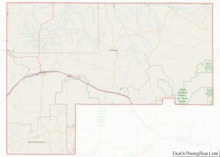
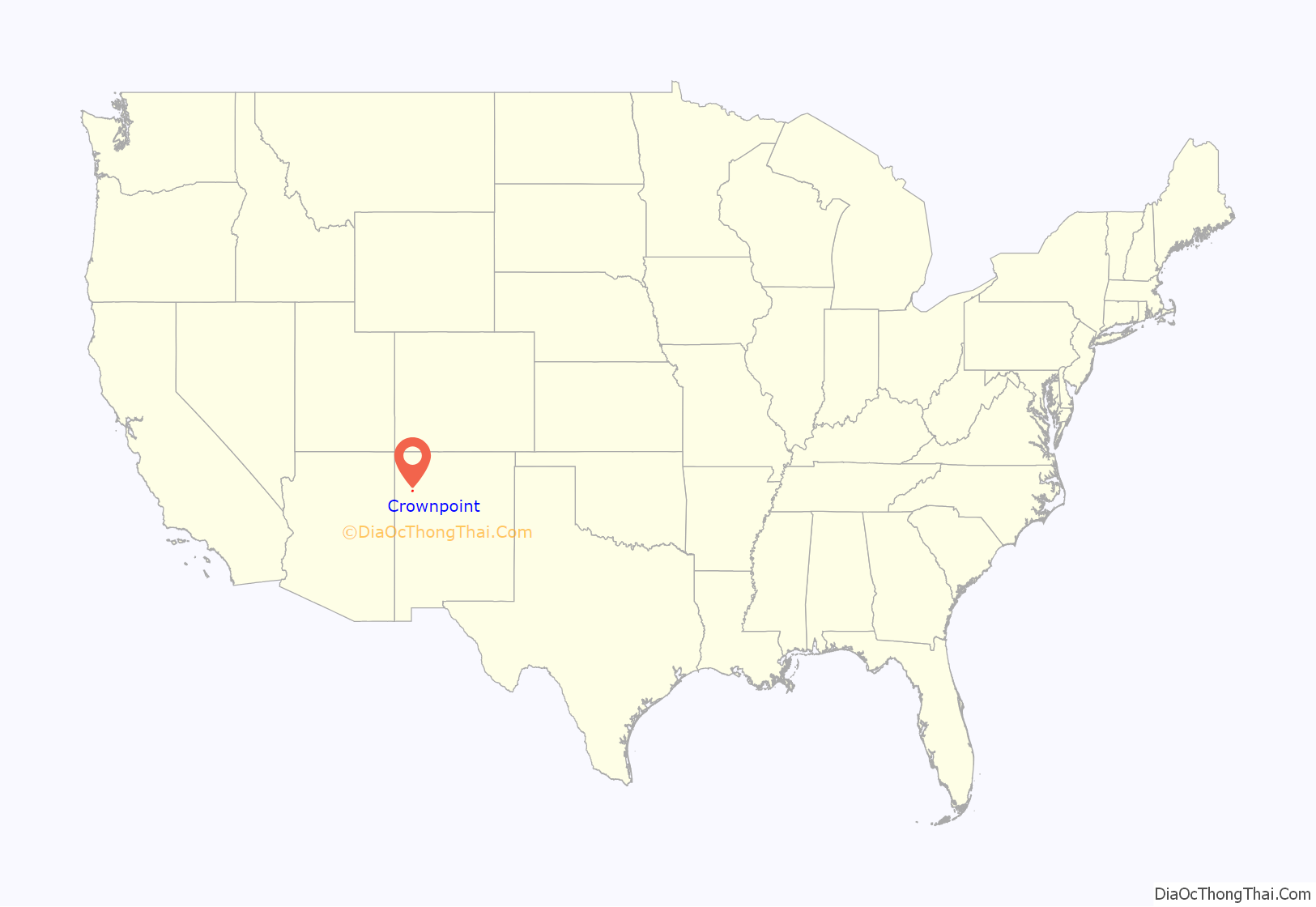
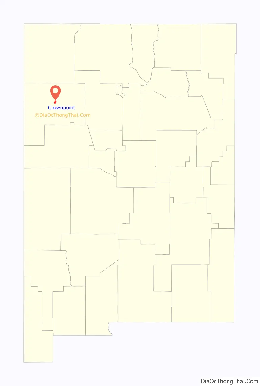
Crownpoint location map. Where is Crownpoint CDP?
History
In 1912, Crownpoint was founded by Samuel F. Stacher as an Indian Agency to serve the Navajo People in the Pueblo Bonito Agency of Northwestern New Mexico. A school house, agency office and power house were first built to accommodate future planned establishments.
Chief Becenti, a local Navajo headman, is one of the first documented leaders of the area. He resided north of Crownpoint, where later in the 1930s a small community would be named after him, called Becenti Lake.
In June 1965, Crownpoint was recognized as a local chapter government sub-unit of the Navajo Nation government. There are a total of 110 Navajo chapters across the Navajo Nation. The Crownpoint chapter serves as the center of Eastern Navajo Agency and many tribal offices are located in the community.
Crownpoint Road Map
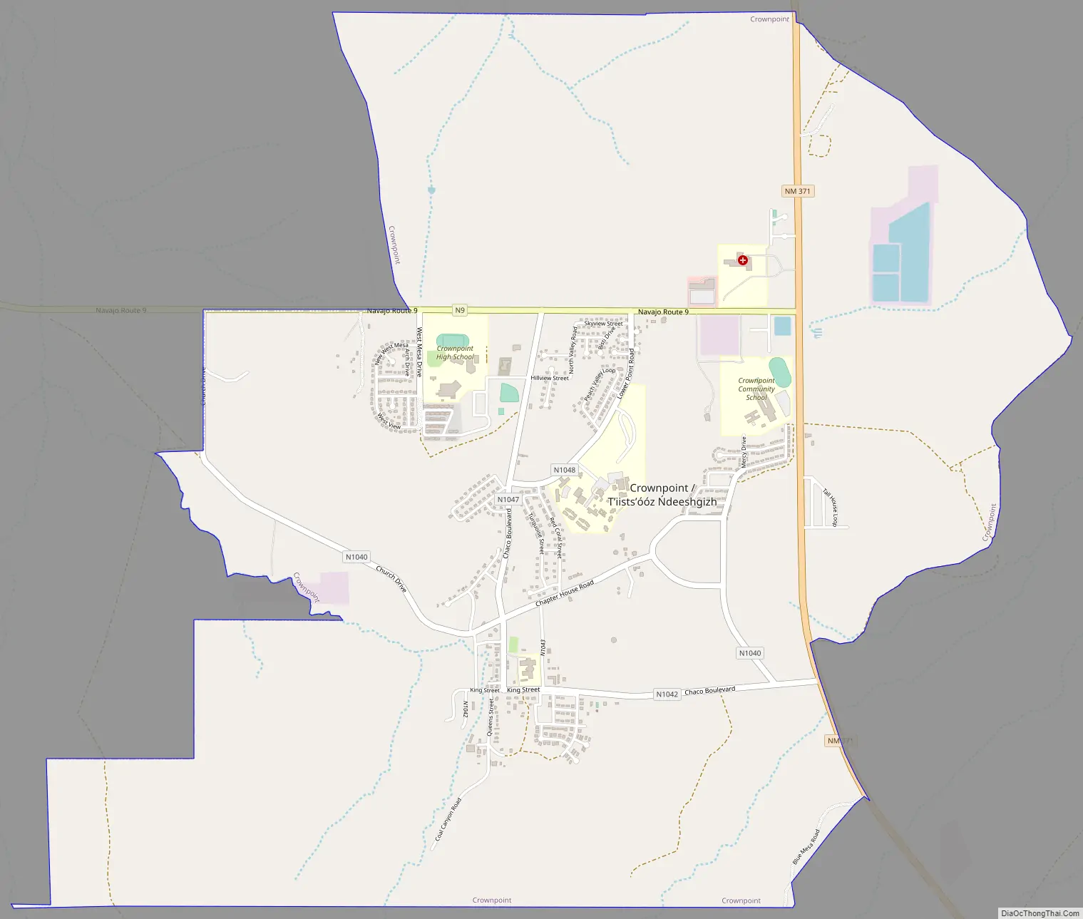
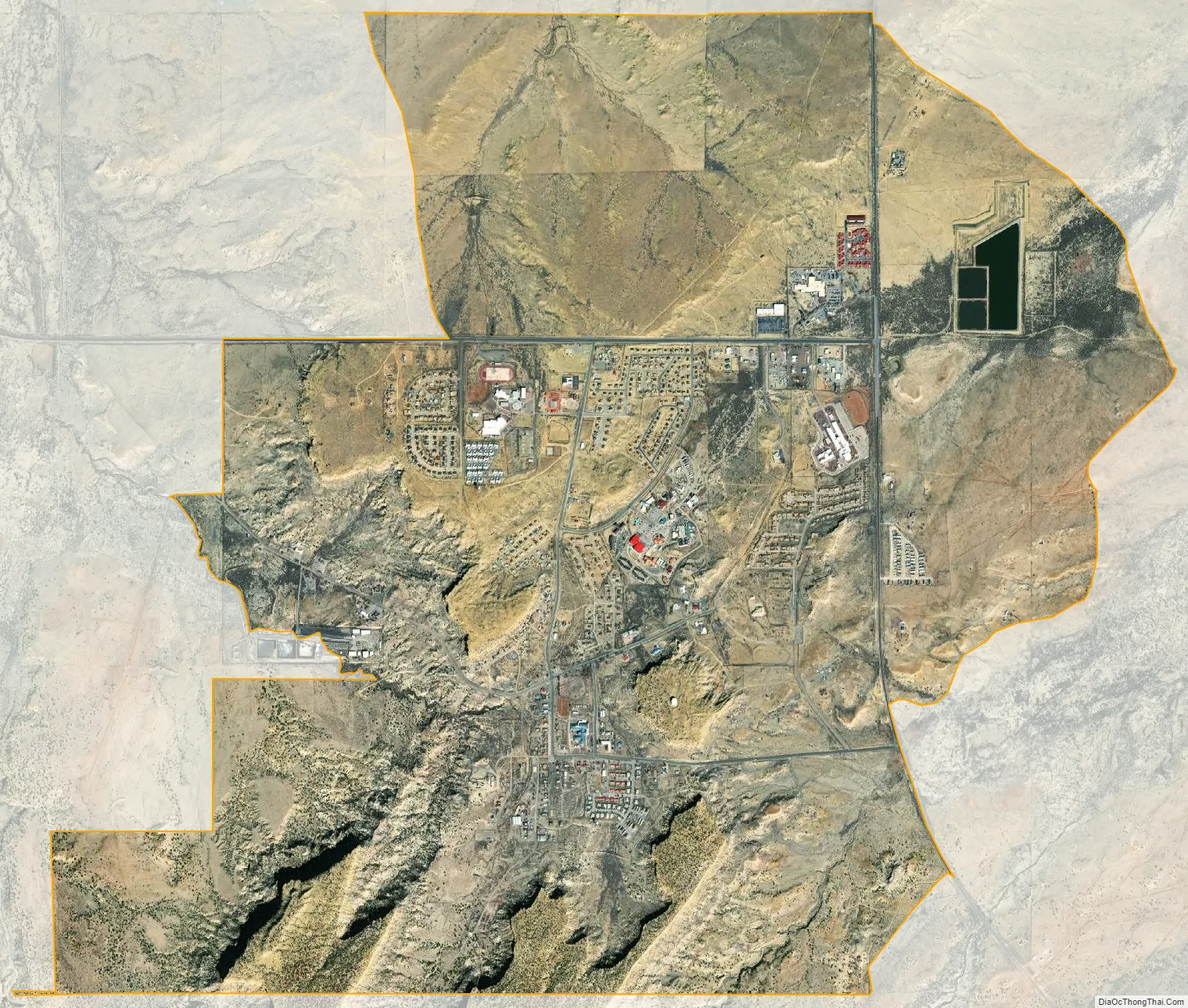
Crownpoint city Satellite Map
Geography
Crownpoint is located at 35°41′9″N 108°8′54″W / 35.68583°N 108.14833°W / 35.68583; -108.14833 (35.685890, -108.148350).
According to the United States Census Bureau, the CDP has a total area of 7.0 square miles (18 km), all land.
See also
Map of New Mexico State and its subdivision: Map of other states:- Alabama
- Alaska
- Arizona
- Arkansas
- California
- Colorado
- Connecticut
- Delaware
- District of Columbia
- Florida
- Georgia
- Hawaii
- Idaho
- Illinois
- Indiana
- Iowa
- Kansas
- Kentucky
- Louisiana
- Maine
- Maryland
- Massachusetts
- Michigan
- Minnesota
- Mississippi
- Missouri
- Montana
- Nebraska
- Nevada
- New Hampshire
- New Jersey
- New Mexico
- New York
- North Carolina
- North Dakota
- Ohio
- Oklahoma
- Oregon
- Pennsylvania
- Rhode Island
- South Carolina
- South Dakota
- Tennessee
- Texas
- Utah
- Vermont
- Virginia
- Washington
- West Virginia
- Wisconsin
- Wyoming