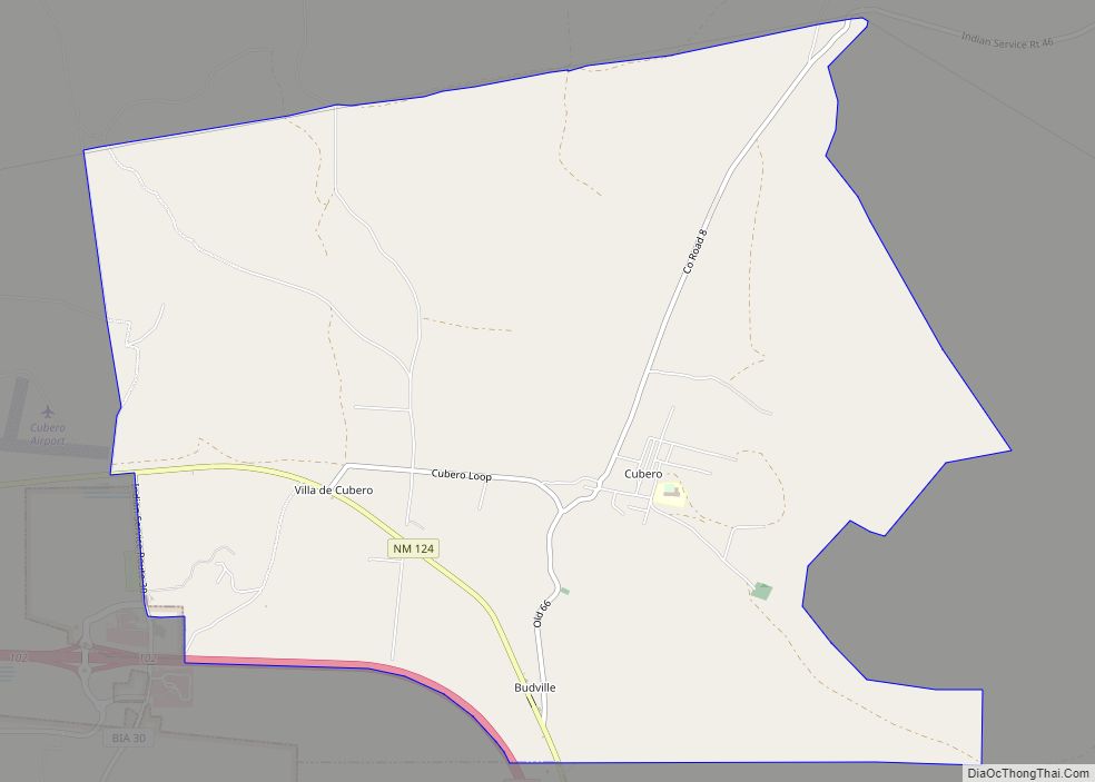
Cubero is a census-designated place in Cibola County, New Mexico, United States. Its population was 289 as of the 2010 census. Cubero has a post office with ZIP code 87014. The town was founded by Mexicans and was along the route of the Santa Fe Railroad’s first transcontinental rail line through the Southwestern United States.
| Name: | Cubero CDP |
|---|---|
| LSAD Code: | 57 |
| LSAD Description: | CDP (suffix) |
| State: | New Mexico |
| County: | Cibola County |
| Elevation: | 6,217 ft (1,895 m) |
| Total Area: | 9.57 sq mi (24.78 km²) |
| Land Area: | 9.57 sq mi (24.78 km²) |
| Water Area: | 0.00 sq mi (0.00 km²) |
| Total Population: | 281 |
| Population Density: | 29.37/sq mi (11.34/km²) |
| ZIP code: | 87014 |
| Area code: | 505 |
| FIPS code: | 3519220 |
| GNISfeature ID: | 898751 |
Online Interactive Map
Click on ![]() to view map in "full screen" mode.
to view map in "full screen" mode.
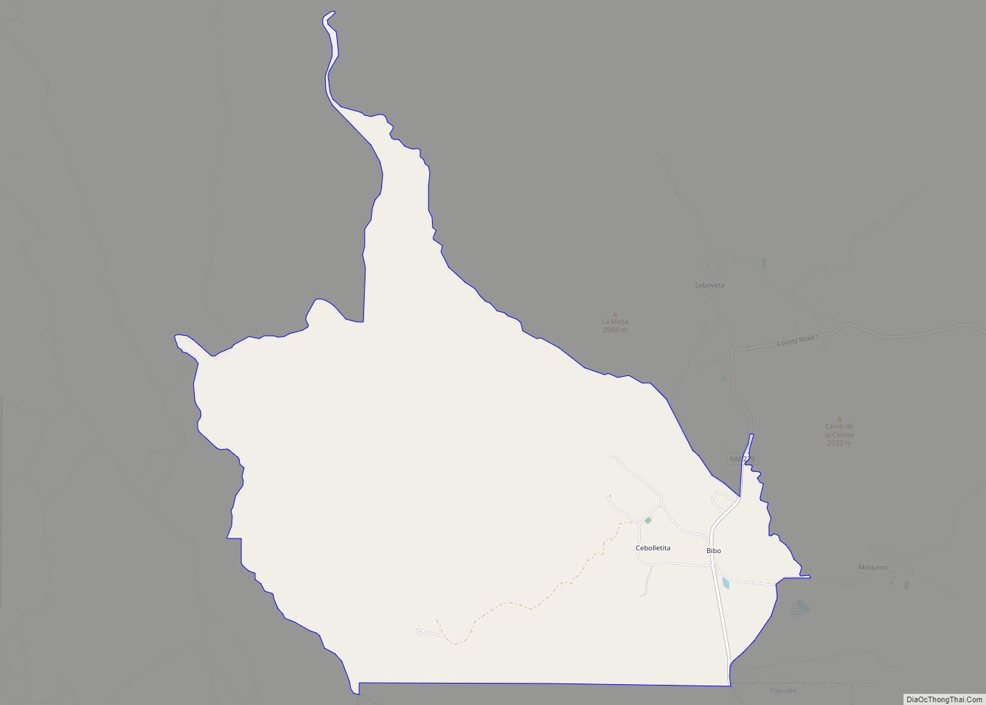
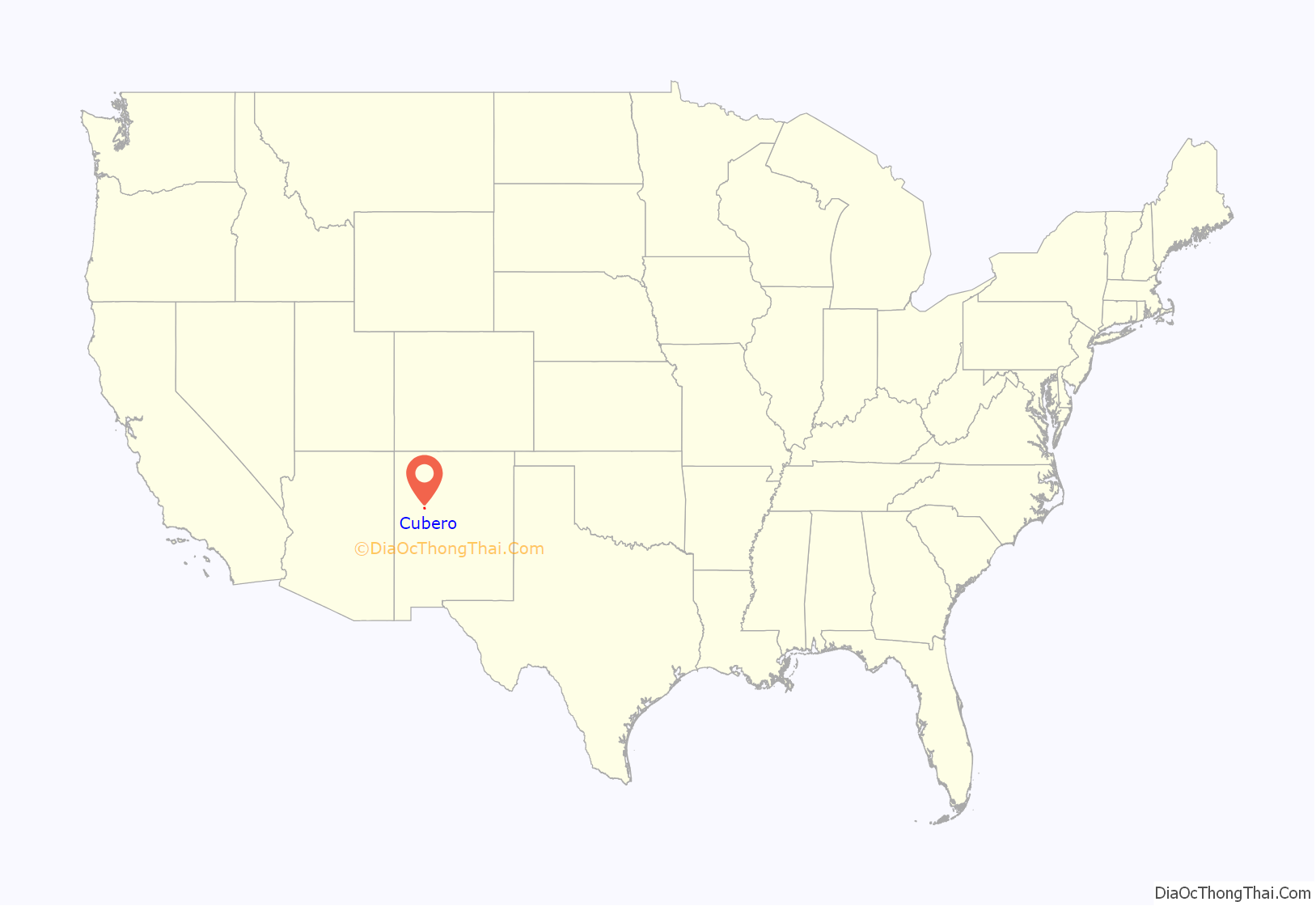
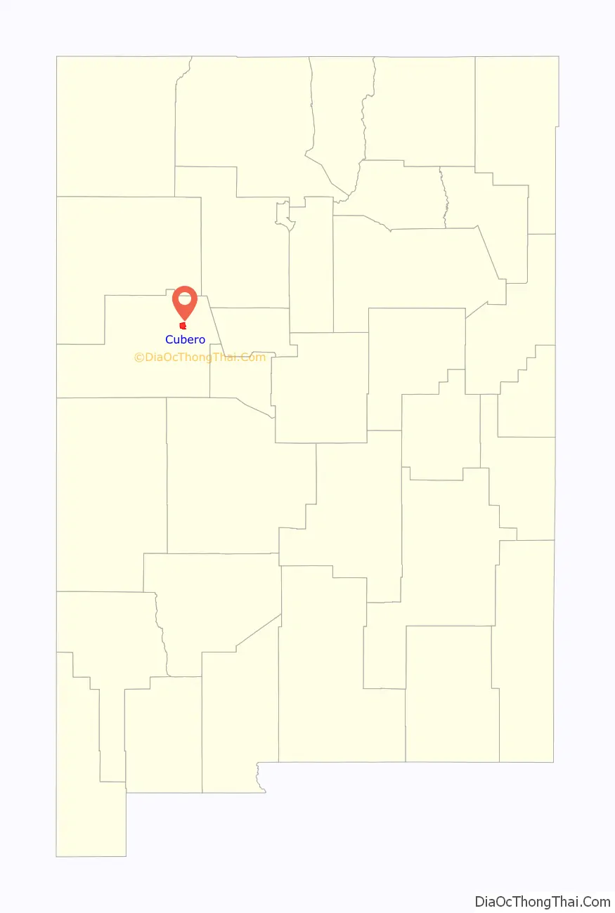
Cubero location map. Where is Cubero CDP?
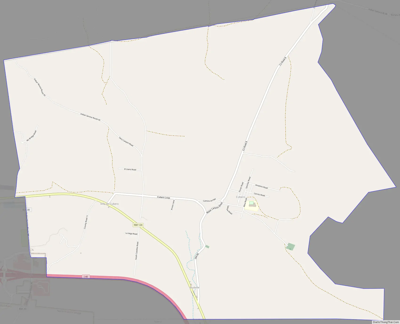
Cubero Road Map
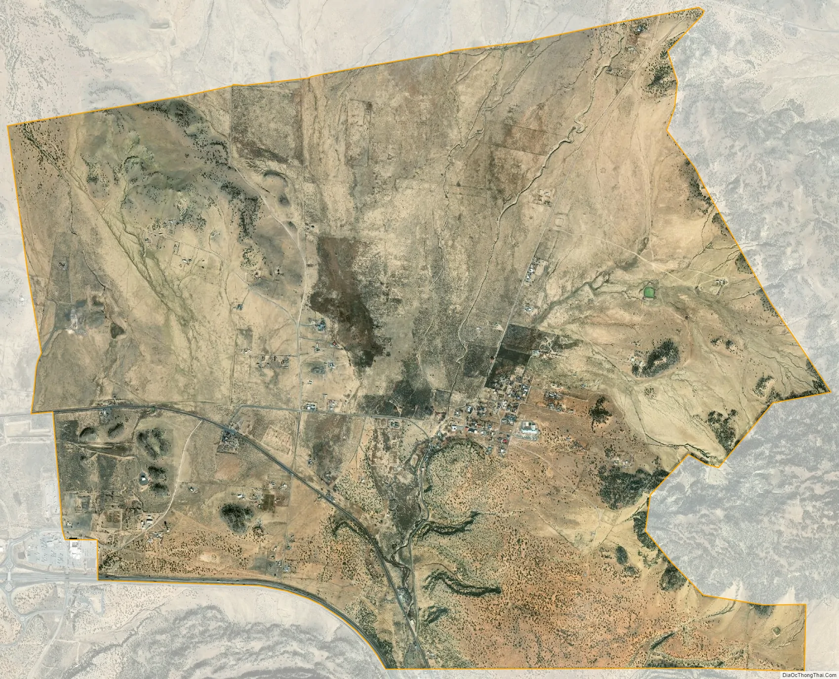
Cubero city Satellite Map
Geography
Climate
See also
Map of New Mexico State and its subdivision: Map of other states:- Alabama
- Alaska
- Arizona
- Arkansas
- California
- Colorado
- Connecticut
- Delaware
- District of Columbia
- Florida
- Georgia
- Hawaii
- Idaho
- Illinois
- Indiana
- Iowa
- Kansas
- Kentucky
- Louisiana
- Maine
- Maryland
- Massachusetts
- Michigan
- Minnesota
- Mississippi
- Missouri
- Montana
- Nebraska
- Nevada
- New Hampshire
- New Jersey
- New Mexico
- New York
- North Carolina
- North Dakota
- Ohio
- Oklahoma
- Oregon
- Pennsylvania
- Rhode Island
- South Carolina
- South Dakota
- Tennessee
- Texas
- Utah
- Vermont
- Virginia
- Washington
- West Virginia
- Wisconsin
- Wyoming