El Rito, (Spanish for The Little River), is an unincorporated community in Rio Arriba County, New Mexico, United States. Its elevation is 6,875 feet (2,096 m).
El Rito is located on NM 554, 18 miles (29 km) northwest of Española and 15 miles (24 km) northwest of Ojo Caliente.
El Rito was one of the first Spanish settlements in the Jicarilla Apache lands north of Santa Fe, being settled about 1807. San Juan Nepomuceno Catholic Church is in the town, built between 1827 and 1832. This church has been erroneously claimed to be the oldest church in New Mexico despite multiple churches being built more than 200 year prior to it. The church was restored in the 1980s.
El Rito is the home of the Carson National Forest Service – El Rito Ranger District, the El Rito Public Library, the Las Clinicas del Norte, and a campus of Northern New Mexico College.
Originally named El Rito Colorado (the red creek), it took its name from the creek that passes through the village. Tewas call the El Rito region “pink below place” for the El Rito Mountains, known to them as the pink mountains. El Rito is the home to a growing number of artists. The El Rito Studio Tour is held in early October Among the artists living in this tiny New Mexico village are Nicholas Herrera known as “The El Rito Santero” and David Michael Kennedy both of whom have work in the Smithsonian.
El Rito is surrounded by the Carson National Forest.
| Name: | El Rito CDP |
|---|---|
| LSAD Code: | 57 |
| LSAD Description: | CDP (suffix) |
| State: | New Mexico |
| County: | Rio Arriba County |
| FIPS code: | 3524120 |
Online Interactive Map
Click on ![]() to view map in "full screen" mode.
to view map in "full screen" mode.
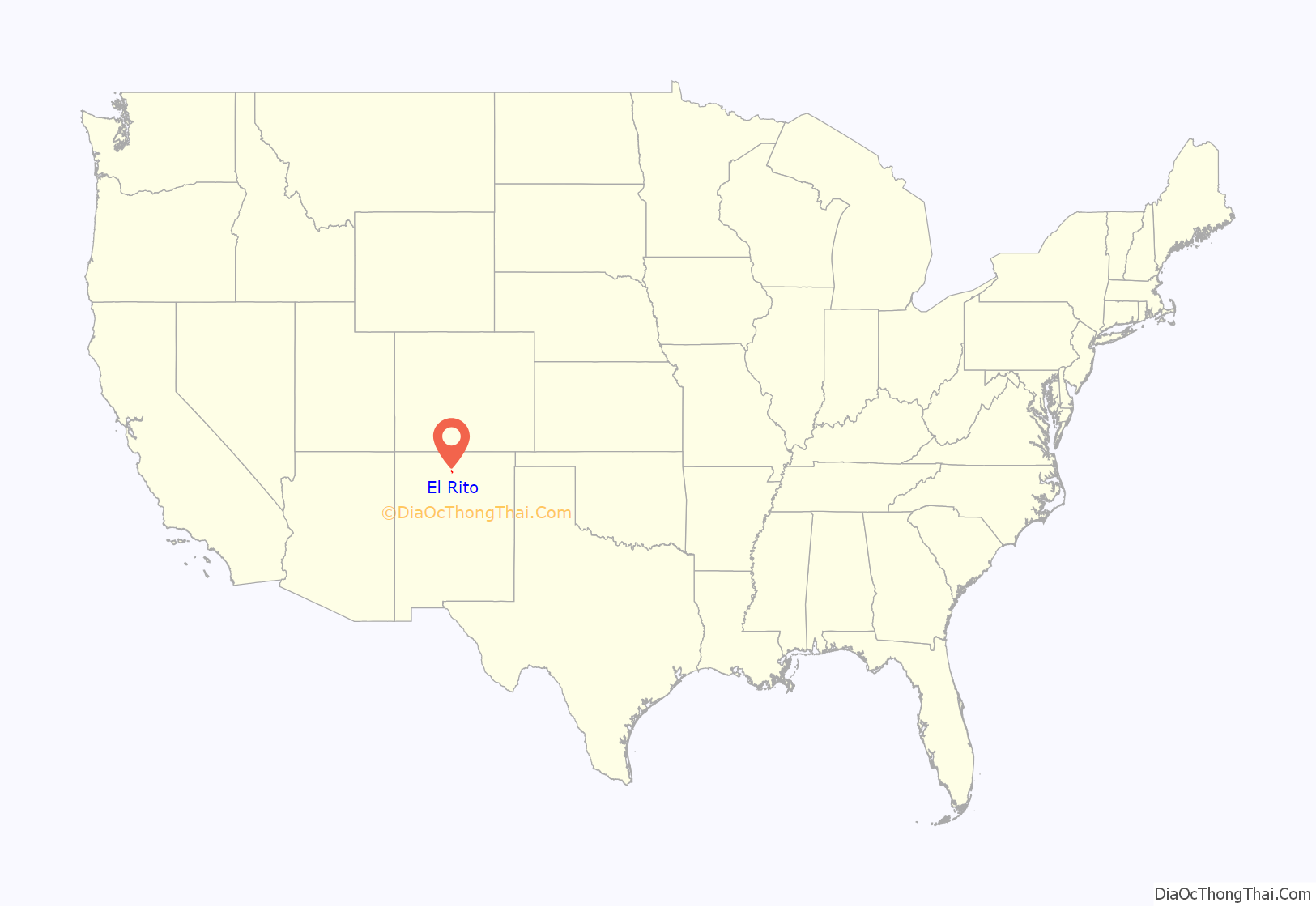
El Rito location map. Where is El Rito CDP?
El Rito Road Map
El Rito city Satellite Map
See also
Map of New Mexico State and its subdivision: Map of other states:- Alabama
- Alaska
- Arizona
- Arkansas
- California
- Colorado
- Connecticut
- Delaware
- District of Columbia
- Florida
- Georgia
- Hawaii
- Idaho
- Illinois
- Indiana
- Iowa
- Kansas
- Kentucky
- Louisiana
- Maine
- Maryland
- Massachusetts
- Michigan
- Minnesota
- Mississippi
- Missouri
- Montana
- Nebraska
- Nevada
- New Hampshire
- New Jersey
- New Mexico
- New York
- North Carolina
- North Dakota
- Ohio
- Oklahoma
- Oregon
- Pennsylvania
- Rhode Island
- South Carolina
- South Dakota
- Tennessee
- Texas
- Utah
- Vermont
- Virginia
- Washington
- West Virginia
- Wisconsin
- Wyoming
