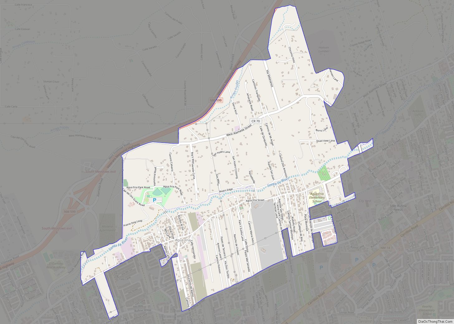
Eldorado at Santa Fe, locally known as Eldorado, is a census-designated place (CDP) in Santa Fe County, New Mexico, United States. It is part of the Santa Fe, New Mexico Metropolitan Statistical Area. The population was 6,130 at the 2010 census.
| Name: | Eldorado at Santa Fe CDP |
|---|---|
| LSAD Code: | 57 |
| LSAD Description: | CDP (suffix) |
| State: | New Mexico |
| County: | Santa Fe County |
| Elevation: | 6,677 ft (2,035 m) |
| Total Area: | 20.78 sq mi (53.82 km²) |
| Land Area: | 20.78 sq mi (53.82 km²) |
| Water Area: | 0.00 sq mi (0.00 km²) |
| Total Population: | 6,005 |
| Population Density: | 288.97/sq mi (111.57/km²) |
| Area code: | 505 |
| FIPS code: | 3522625 |
| GNISfeature ID: | 1867384 |
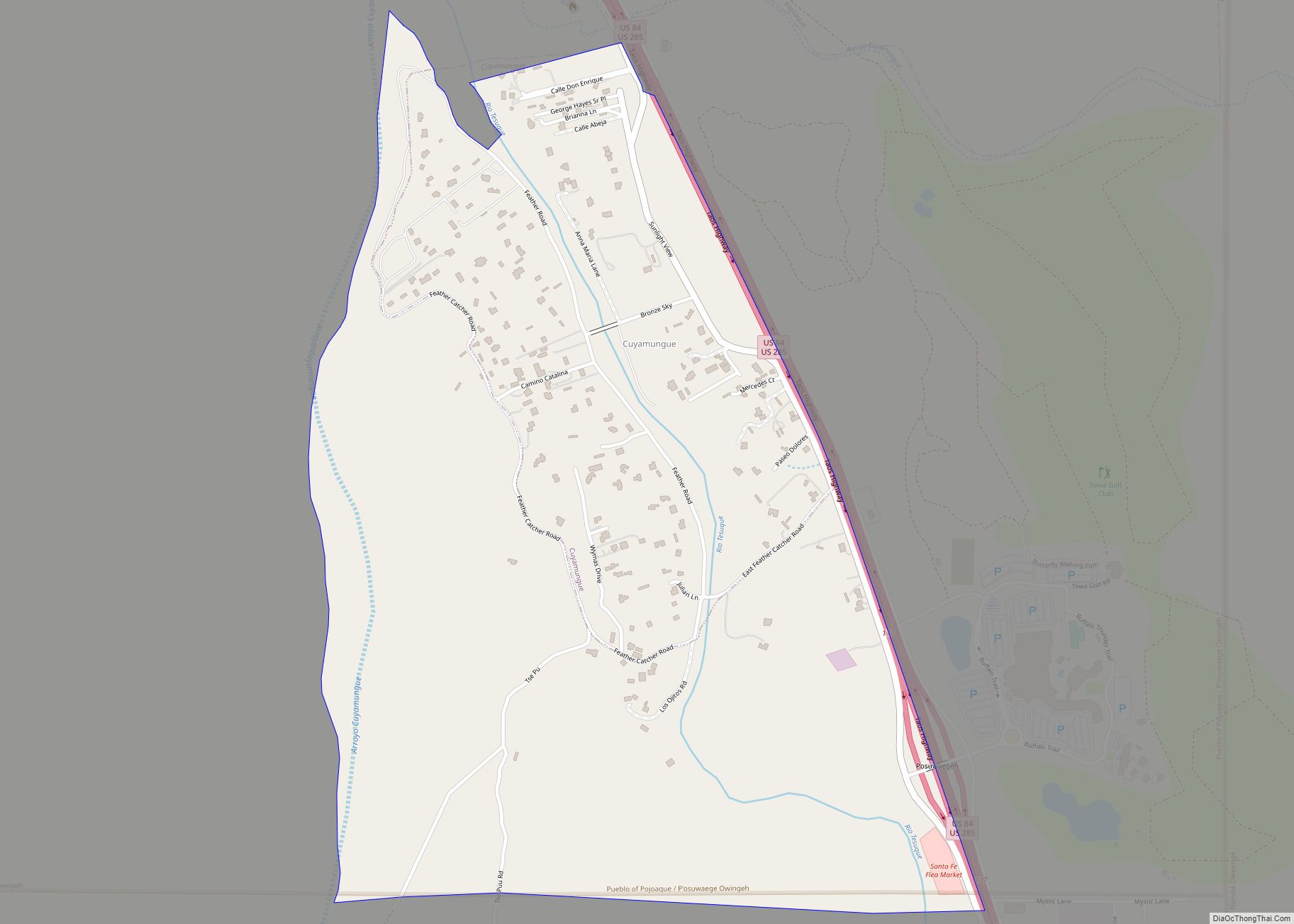
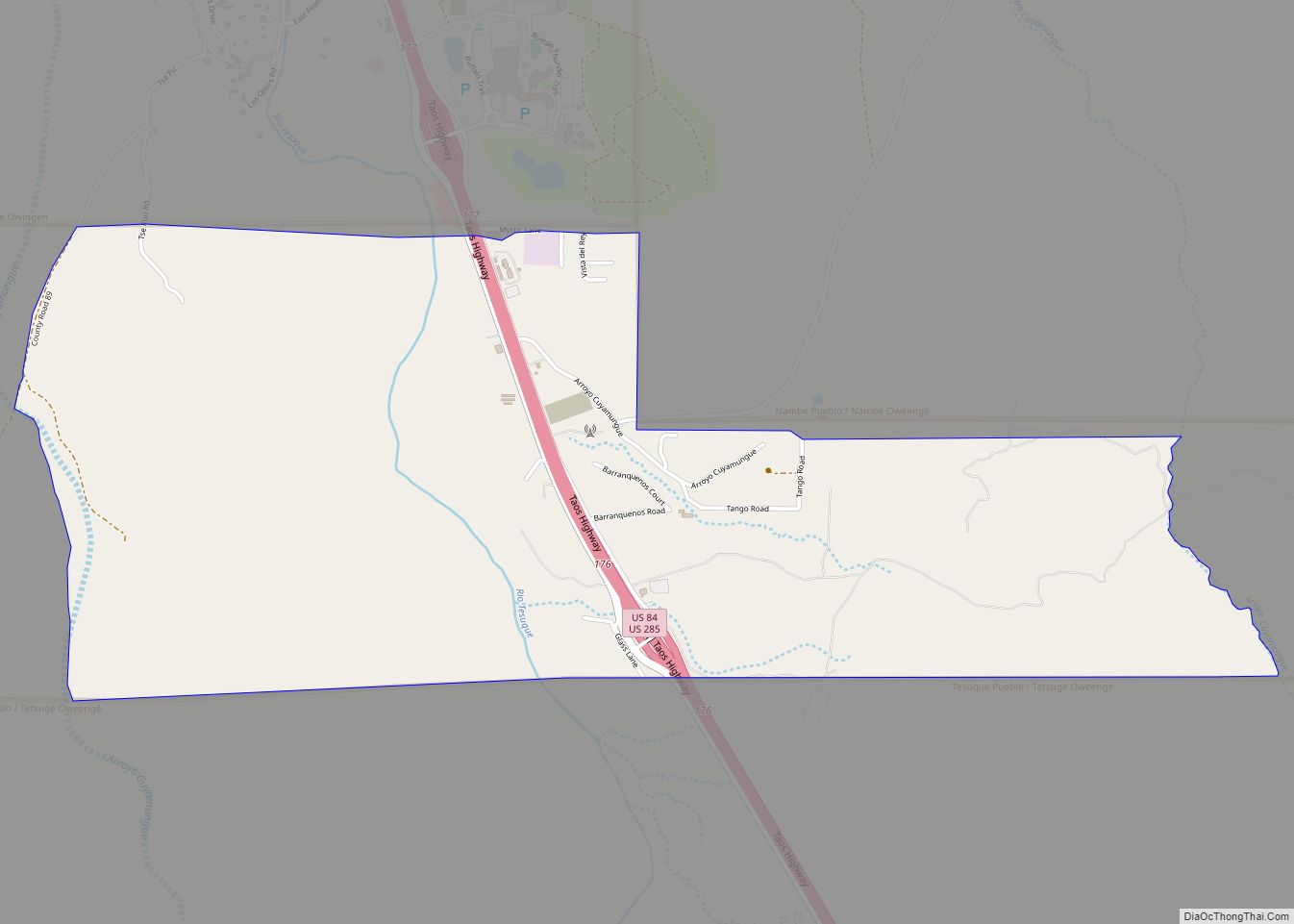
Online Interactive Map
Click on ![]() to view map in "full screen" mode.
to view map in "full screen" mode.
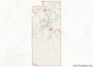
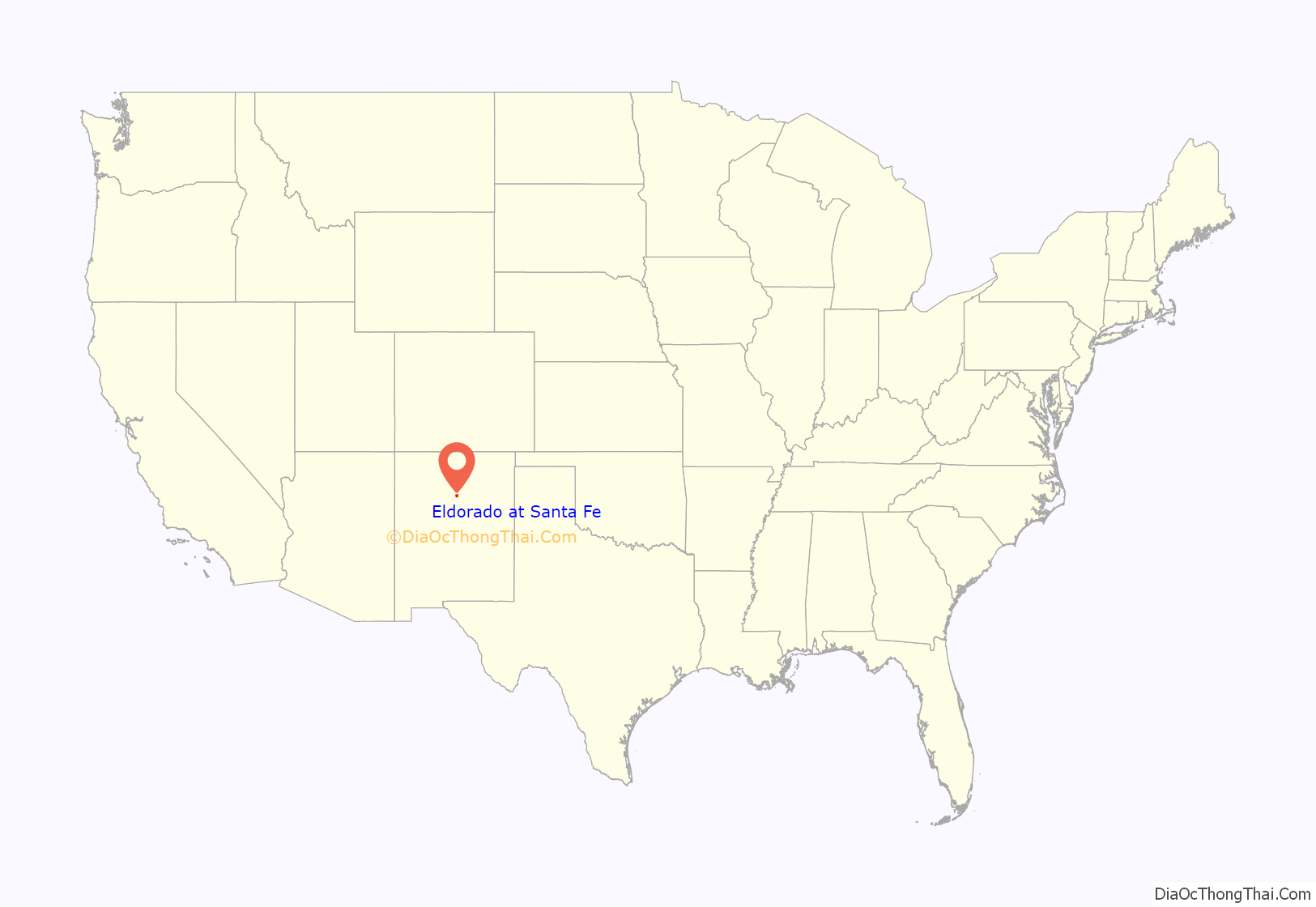
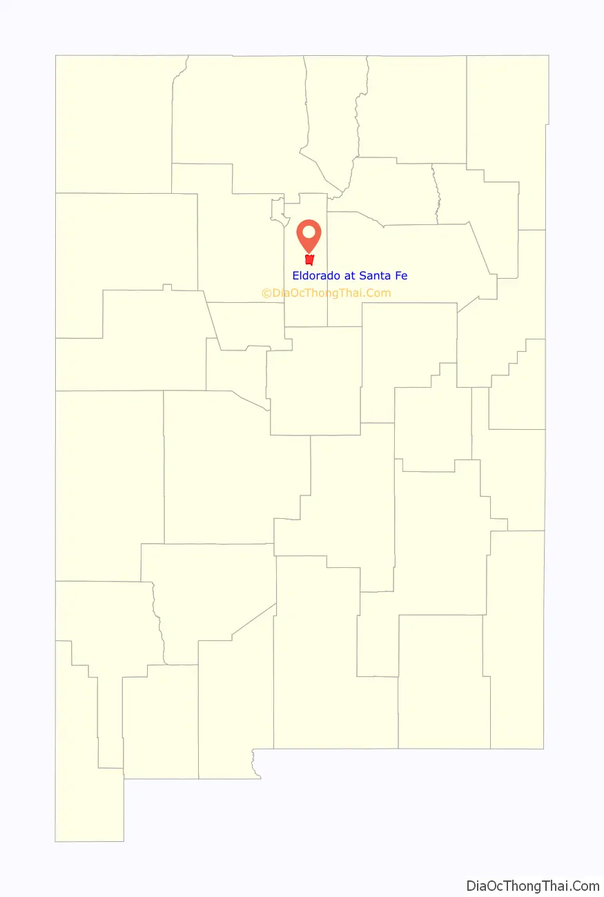
Eldorado at Santa Fe location map. Where is Eldorado at Santa Fe CDP?
History
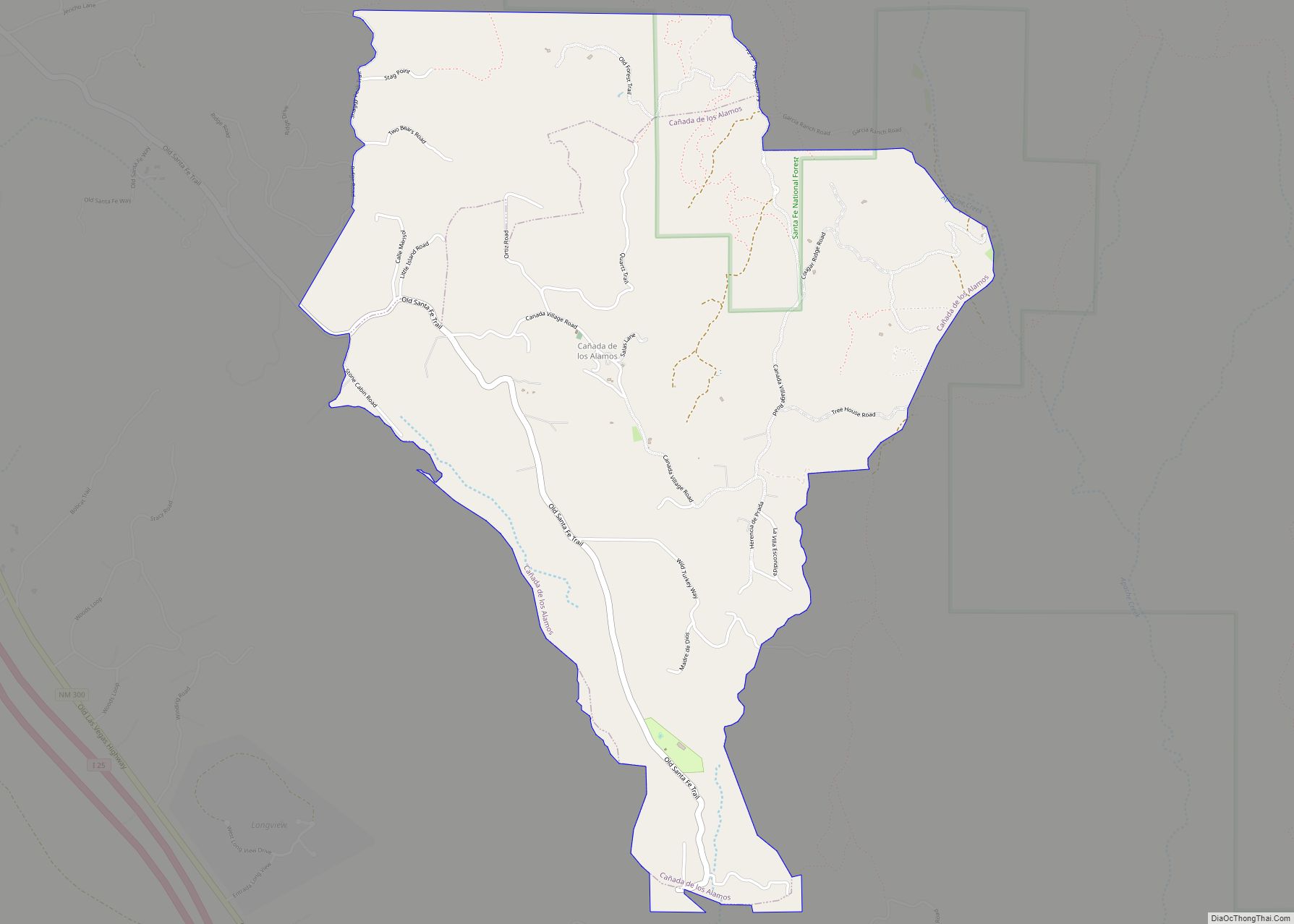
Eldorado lies entirely within the Canada de los Alamos Grant, a Spanish land grant which dates back to 1785. In 1883, the entire grant was sold for US$2,000. As recorded in 1894, and patented by the US government, the size of the grant was about 12,068 acres (49 km).
In 1901, the Onderdonk Land & Cattle company bought both the Canada de los Alamos Grant and the adjacent Bishop John Lamy Grant for $10,000. The Lamy Grant was about 16,546 acres (67 km) when patented by the USA in 1874. The Onderdonk Ranch operated both grants as a cattle ranch into the 1950s. The ranch was sold to the Simpson family in 1956, who continued to operate it until 1969, when the Simpsons sold the land to the American Realty and Petroleum Corporation (AMREP) for $3.2 million, or about $118.50/acre.
AMREP proceeded to develop about 6,000 acres (24 km) of their 27,000-acre (109 km) purchase as Eldorado at Santa Fe, selling the first lots in 1972. For the first ten years, development was slow—only about 200 houses were built. After 1983, when AMREP won a lawsuit over water rights, the pace of development quickened. Many passive solar houses were built, and Eldorado remains the largest solar community in the USA. AMREP platted about 2700 lots in the original Eldorado subdivisions. As of 2007, the original Eldorado subdivisions were mostly built-out, with only a few vacant lots on the market. There are large areas of vacant private land adjacent.
There are an additional 20 or so newer subdivisions along U.S. Route 285, locally called the 285 Corridor, between Eldorado at Santa Fe and Lamy. Most of these offer larger lots and more expensive houses than Eldorado. Most are served by the Eldorado community water utility. Informally, the adjacent subdivisions, such as Belicia, Dos Griegos and The Ridges, are also called “Eldorado”, but they have different covenants and no formal ties to the original AMREP subdivision.
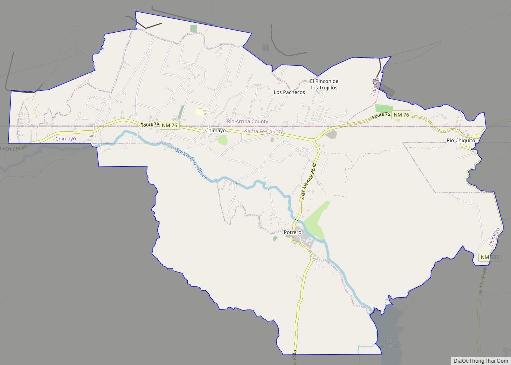
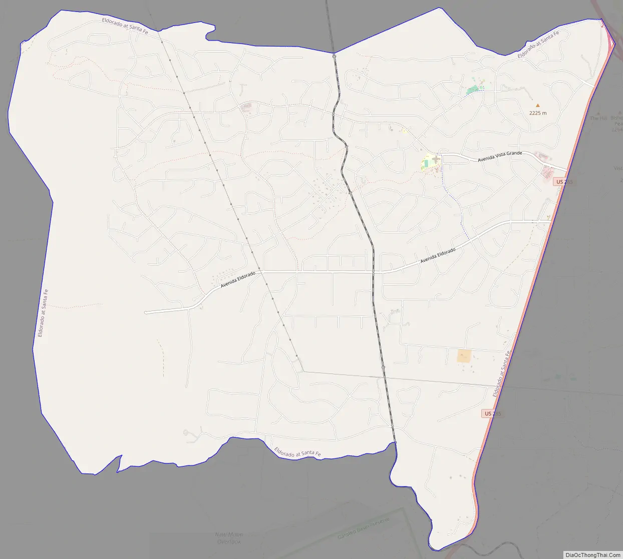
Eldorado at Santa Fe Road Map
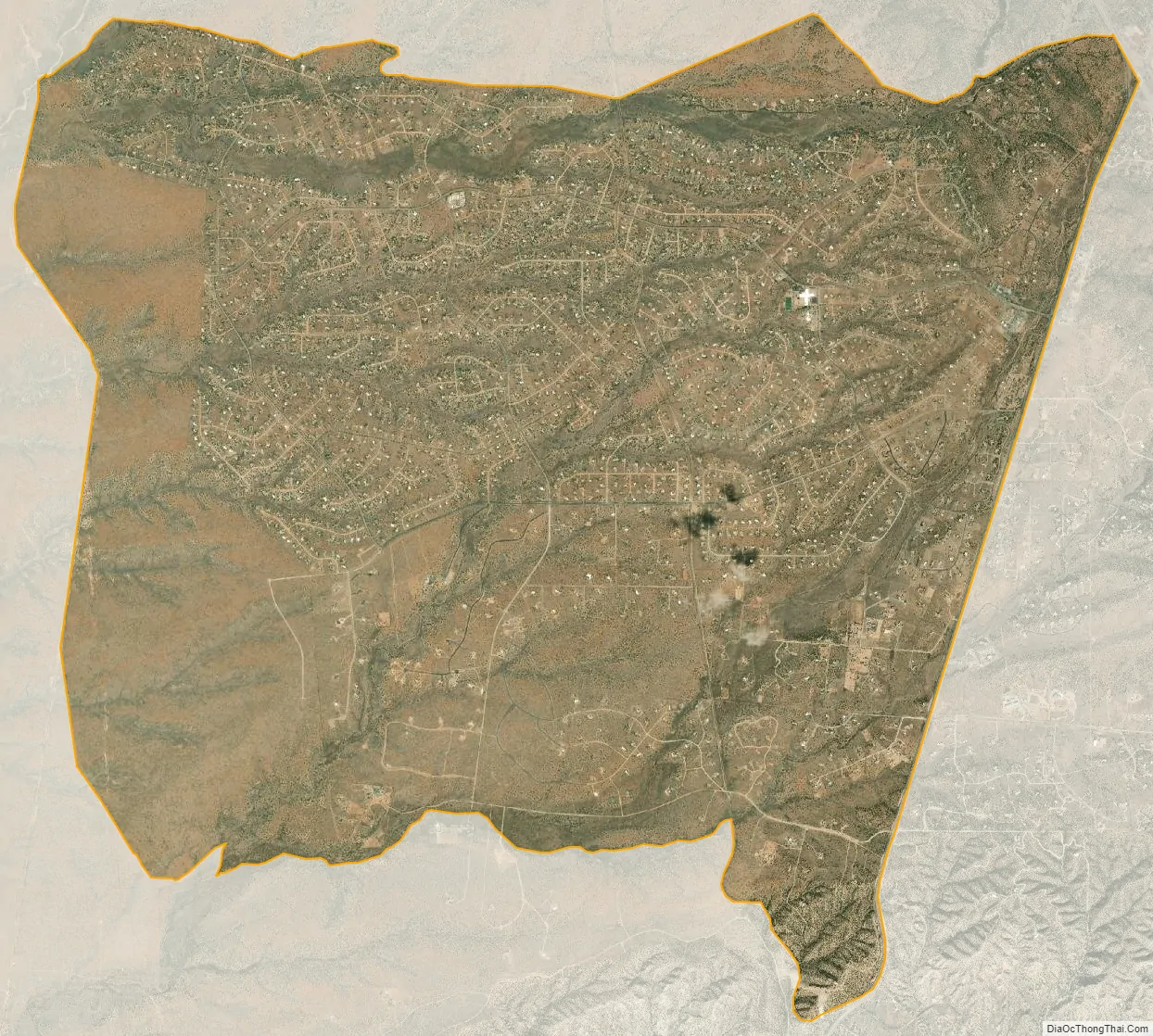
Eldorado at Santa Fe city Satellite Map
Geography
Eldorado at Santa Fe is located at 35°32′9″N 105°55′29″W / 35.53583°N 105.92472°W / 35.53583; -105.92472 (35.535926, -105.924596).
According to the United States Census Bureau, the CDP has a total area of 20.7 square miles (54 km), all land.
See also
Map of New Mexico State and its subdivision: Map of other states:- Alabama
- Alaska
- Arizona
- Arkansas
- California
- Colorado
- Connecticut
- Delaware
- District of Columbia
- Florida
- Georgia
- Hawaii
- Idaho
- Illinois
- Indiana
- Iowa
- Kansas
- Kentucky
- Louisiana
- Maine
- Maryland
- Massachusetts
- Michigan
- Minnesota
- Mississippi
- Missouri
- Montana
- Nebraska
- Nevada
- New Hampshire
- New Jersey
- New Mexico
- New York
- North Carolina
- North Dakota
- Ohio
- Oklahoma
- Oregon
- Pennsylvania
- Rhode Island
- South Carolina
- South Dakota
- Tennessee
- Texas
- Utah
- Vermont
- Virginia
- Washington
- West Virginia
- Wisconsin
- Wyoming