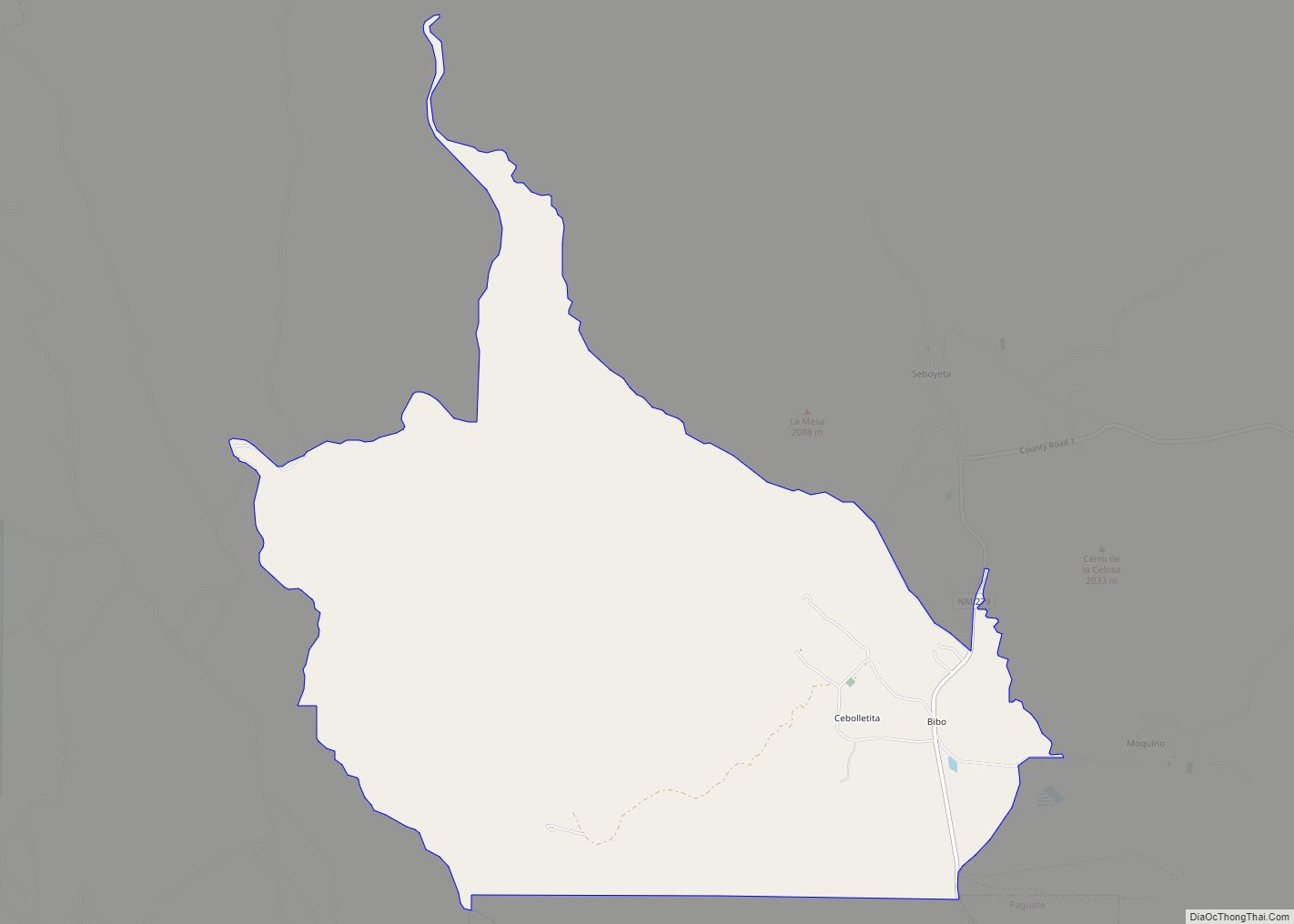
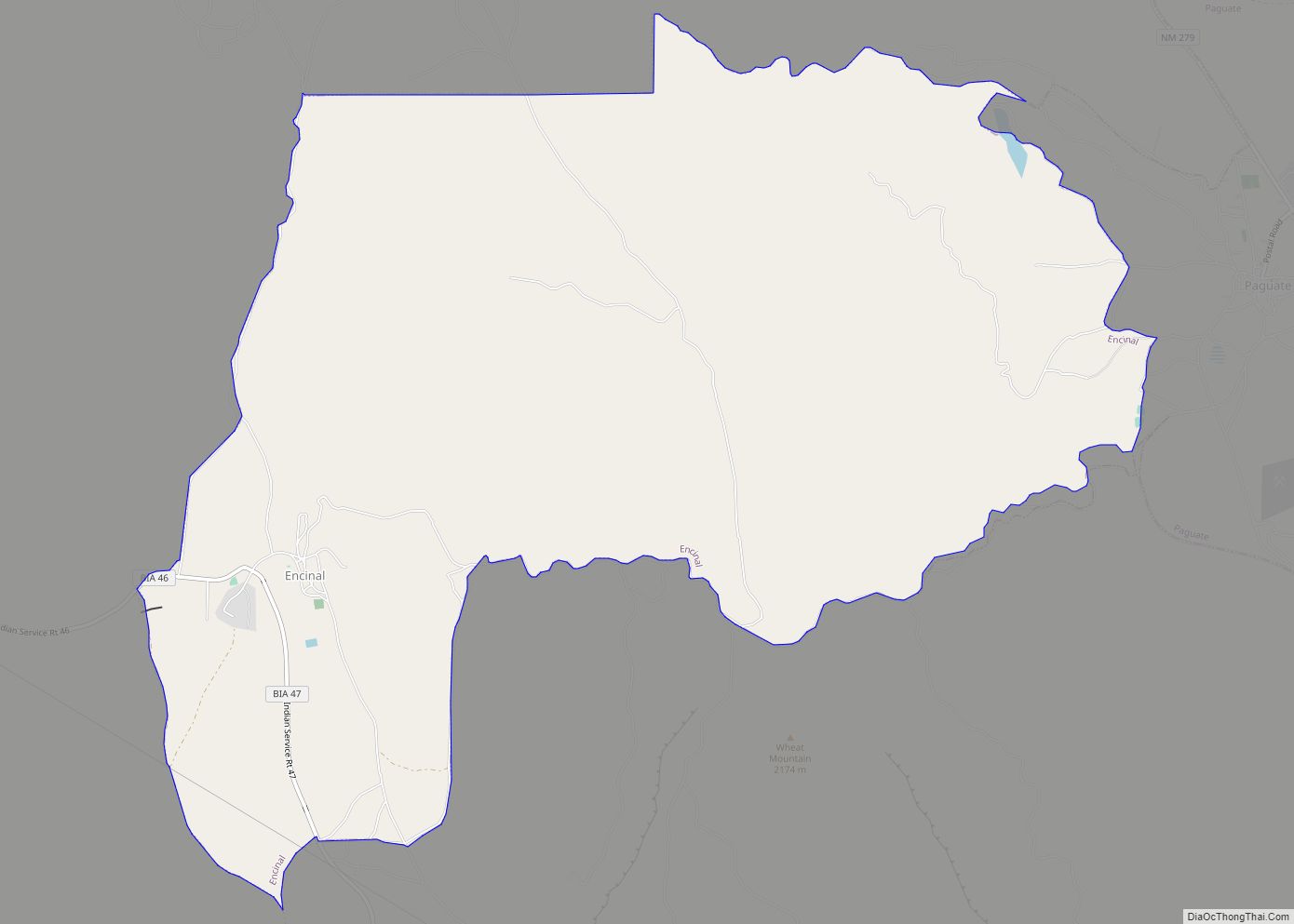
Encinal is a census-designated place (CDP) in Cibola County, New Mexico, United States. It is the smallest of the six villages of the Laguna Pueblo and sits at the base of Mount Taylor. The population was 210 at the 2010 census. The feast day for Encinal is September 8.
| Name: | Encinal CDP |
|---|---|
| LSAD Code: | 57 |
| LSAD Description: | CDP (suffix) |
| State: | New Mexico |
| County: | Cibola County |
| Elevation: | 6,368 ft (1,941 m) |
| Total Area: | 2.96 sq mi (7.68 km²) |
| Land Area: | 2.96 sq mi (7.68 km²) |
| Water Area: | 0.00 sq mi (0.00 km²) |
| Total Population: | 207 |
| Population Density: | 69.81/sq mi (26.95/km²) |
| Area code: | 505 |
| FIPS code: | 3524540 |
| GNISfeature ID: | 0899627 |
Online Interactive Map
Click on ![]() to view map in "full screen" mode.
to view map in "full screen" mode.
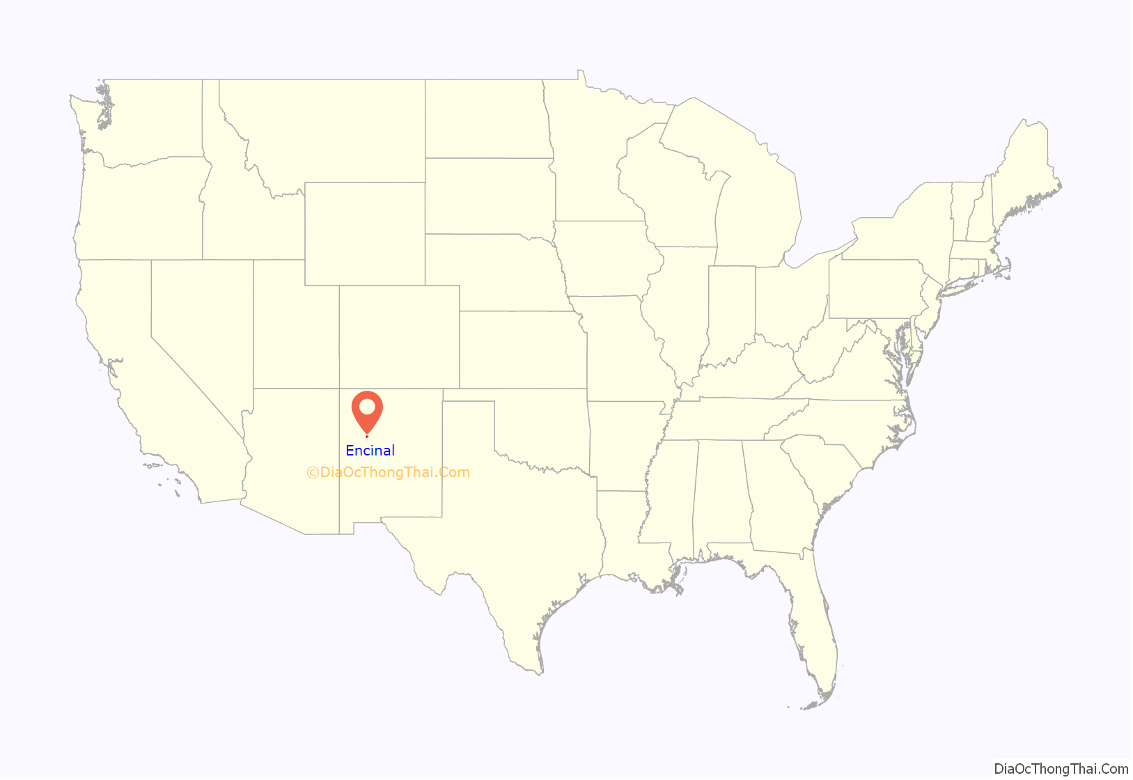
Encinal location map. Where is Encinal CDP?
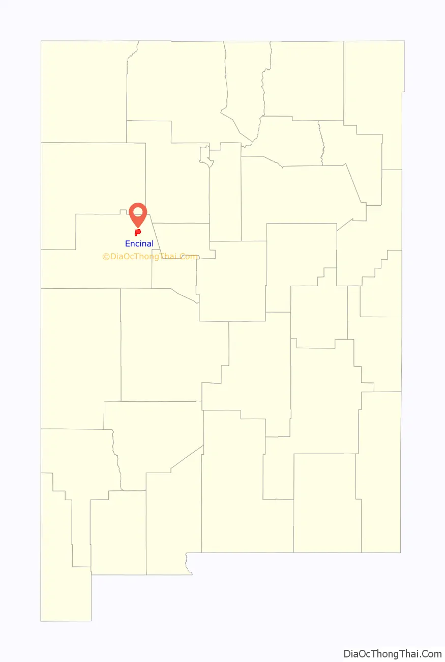
Encinal Road Map
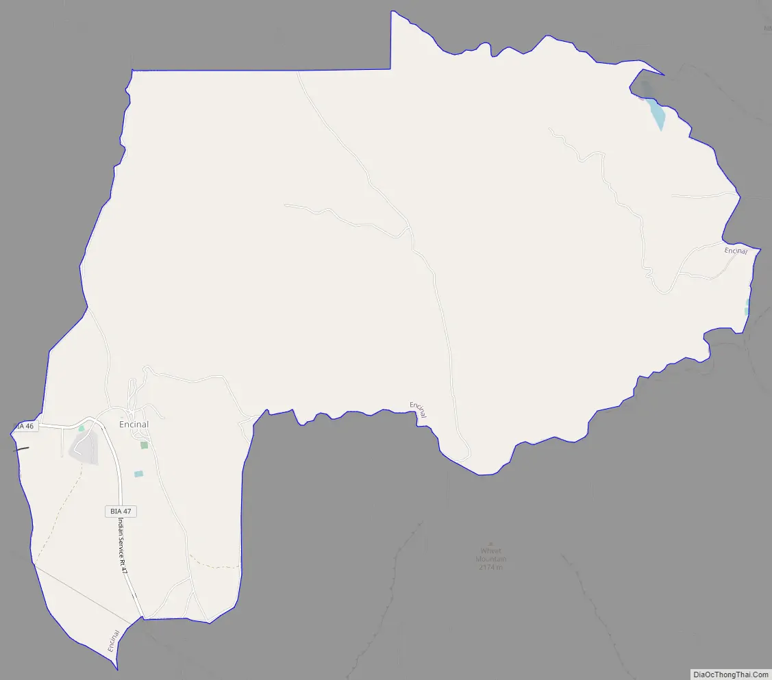
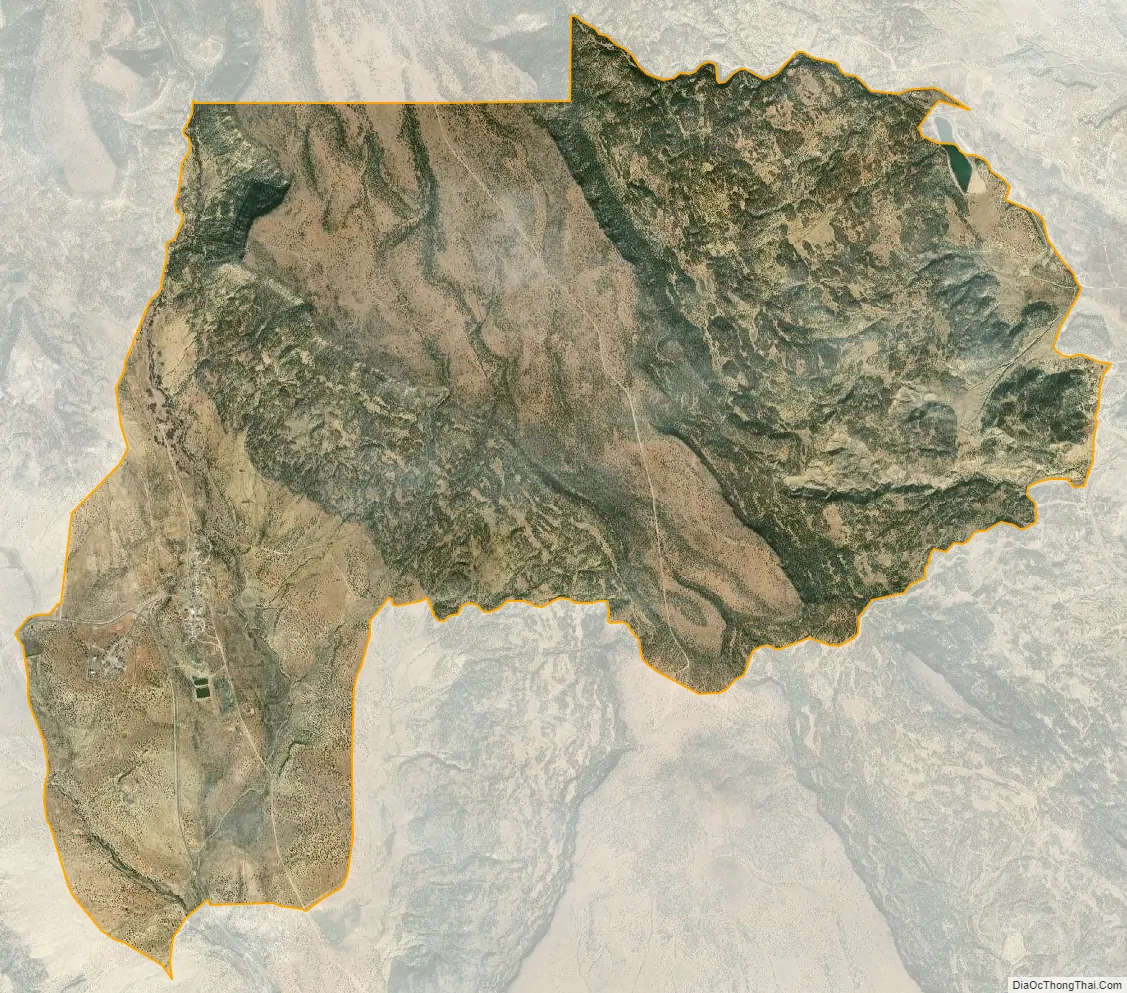
Encinal city Satellite Map
Geography
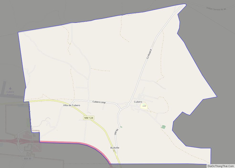
Encinal is located in northeastern Cibola County at 35°7′1″N 107°27′49″W / 35.11694°N 107.46361°W / 35.11694; -107.46361 (35.116923, -107.463544). It is 5 miles (8 km) northeast of Cubero and 7 miles (11 km) northeast of Exit 104 on Interstate 40. Picacho Peak, known locally as Elephant Rock, is a large rock formation 2 miles (3 km) to the west of the village.
According to the United States Census Bureau, the CDP has a total area of 13.5 square miles (34.9 km), all land.
See also
Map of New Mexico State and its subdivision: Map of other states:- Alabama
- Alaska
- Arizona
- Arkansas
- California
- Colorado
- Connecticut
- Delaware
- District of Columbia
- Florida
- Georgia
- Hawaii
- Idaho
- Illinois
- Indiana
- Iowa
- Kansas
- Kentucky
- Louisiana
- Maine
- Maryland
- Massachusetts
- Michigan
- Minnesota
- Mississippi
- Missouri
- Montana
- Nebraska
- Nevada
- New Hampshire
- New Jersey
- New Mexico
- New York
- North Carolina
- North Dakota
- Ohio
- Oklahoma
- Oregon
- Pennsylvania
- Rhode Island
- South Carolina
- South Dakota
- Tennessee
- Texas
- Utah
- Vermont
- Virginia
- Washington
- West Virginia
- Wisconsin
- Wyoming