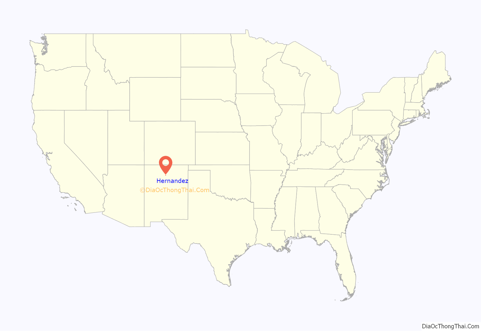
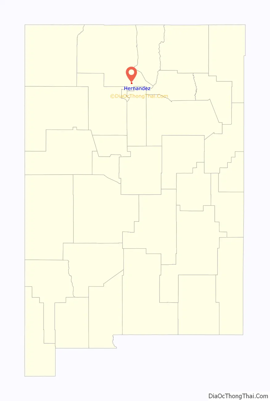
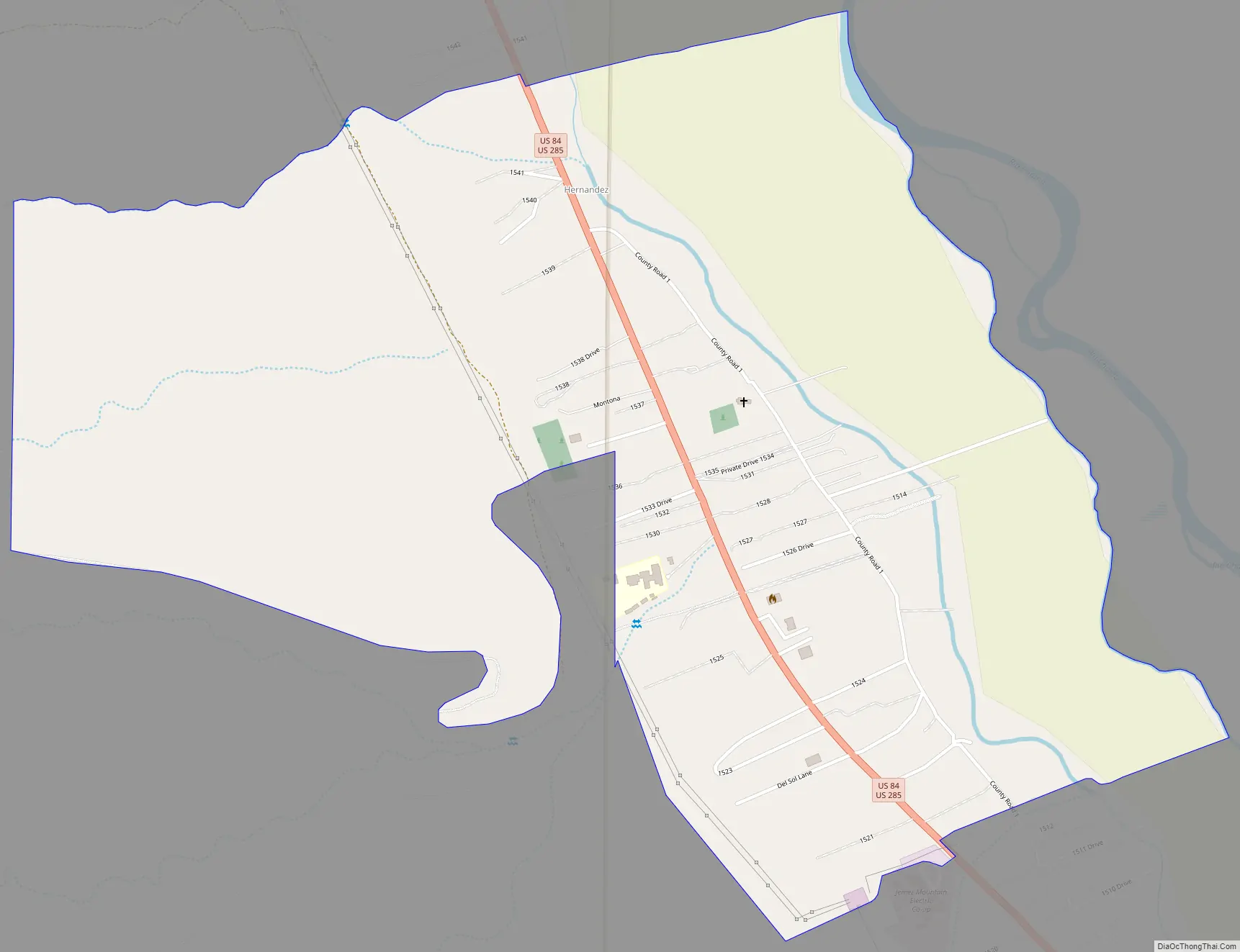
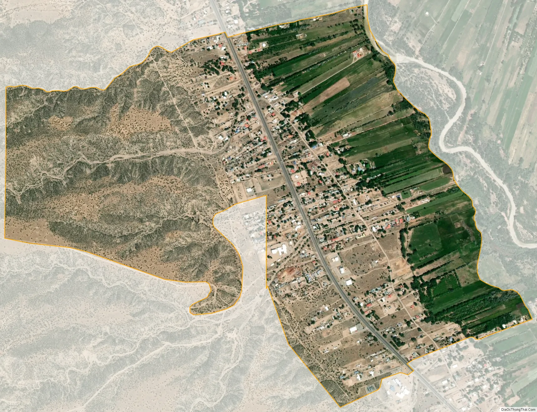
Hernandez is an unincorporated community and census-designated place in Rio Arriba County, New Mexico, United States. Hernandez is approximately 5 miles (8.0 km) northwest of Española on highway US 84 / US 285.
| Name: | Hernandez CDP |
|---|---|
| LSAD Code: | 57 |
| LSAD Description: | CDP (suffix) |
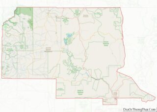
| State: | New Mexico |
| County: | Rio Arriba County |
| FIPS code: | 3532100 |
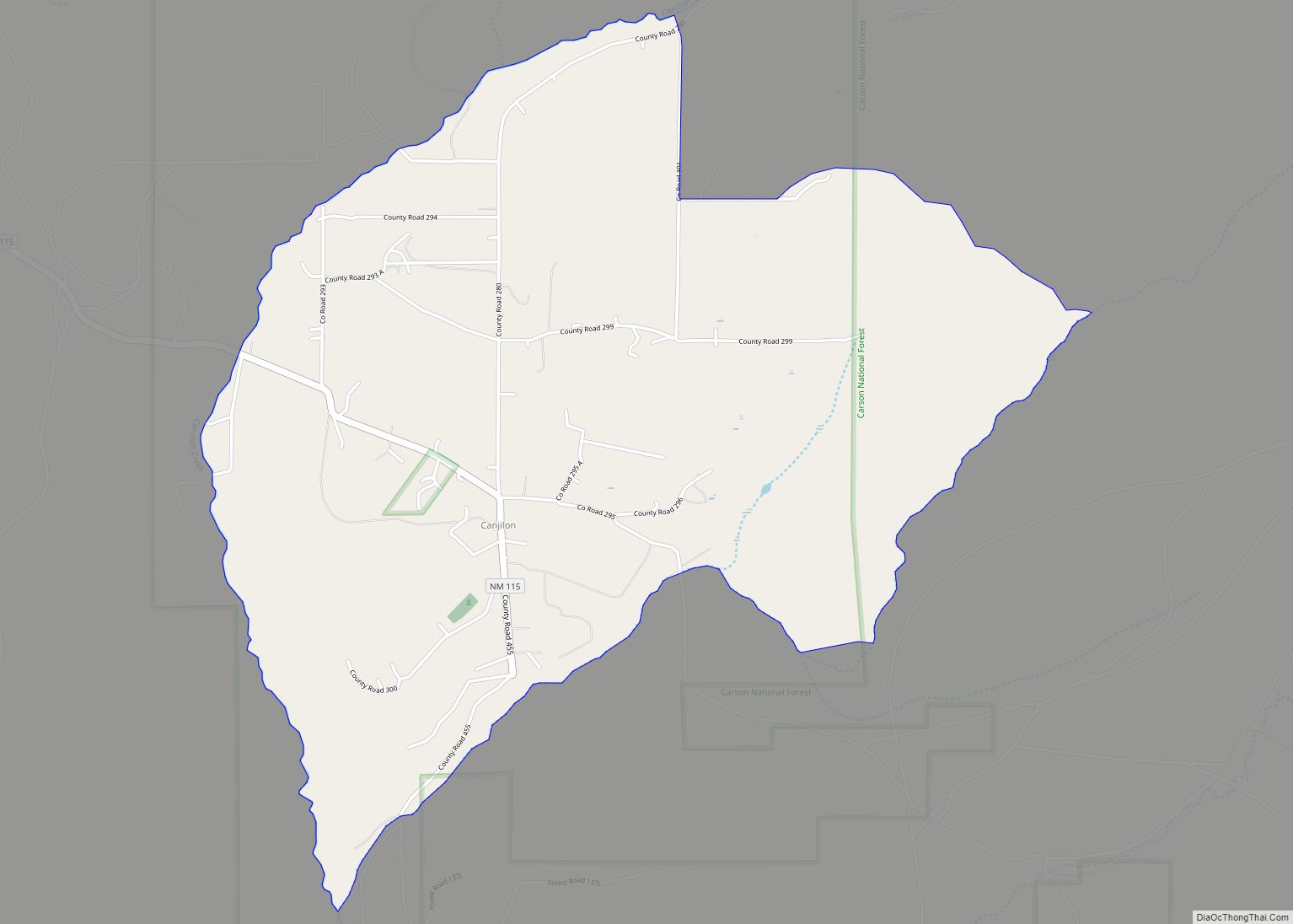
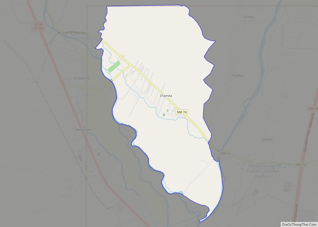
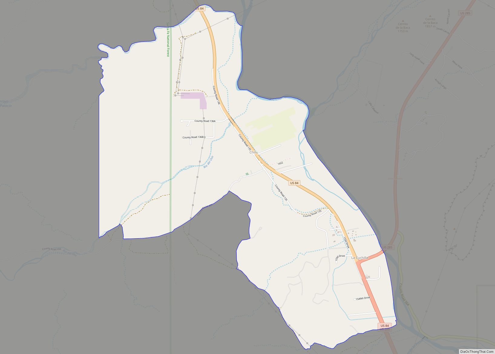
Online Interactive Map
Click on ![]() to view map in "full screen" mode.
to view map in "full screen" mode.
Hernandez location map. Where is Hernandez CDP?
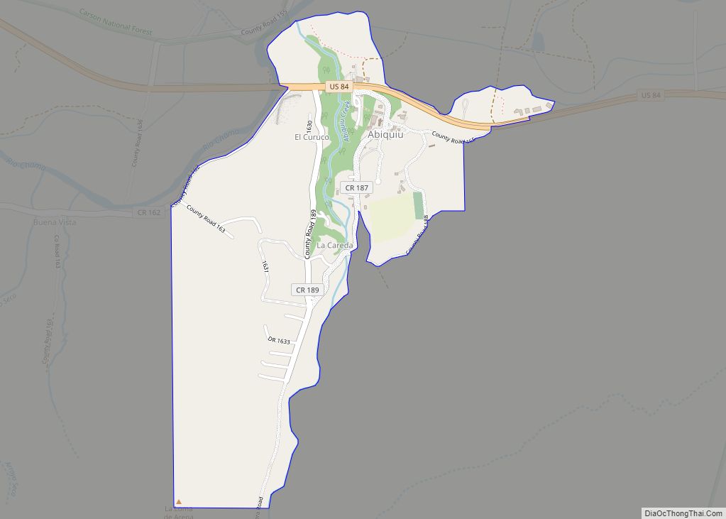
Hernandez Road Map
Hernandez city Satellite Map
Geography
Within the unincorporated community is the built-up CDP of Hernandez, with an area of 1.7 square miles (4.4 km). The Hernandez CDP had a population of 946 in the 2010 census,
The entire Hernandez area (55 square miles (140 km)) has the ZIP code 87537, pointing to ZIP Code Tabulation Area 87537 (ZCTA), with a population of 2,957 in the 2010 U.S. census.
See also
Map of New Mexico State and its subdivision: Map of other states:- Alabama
- Alaska
- Arizona
- Arkansas
- California
- Colorado
- Connecticut
- Delaware
- District of Columbia
- Florida
- Georgia
- Hawaii
- Idaho
- Illinois
- Indiana
- Iowa
- Kansas
- Kentucky
- Louisiana
- Maine
- Maryland
- Massachusetts
- Michigan
- Minnesota
- Mississippi
- Missouri
- Montana
- Nebraska
- Nevada
- New Hampshire
- New Jersey
- New Mexico
- New York
- North Carolina
- North Dakota
- Ohio
- Oklahoma
- Oregon
- Pennsylvania
- Rhode Island
- South Carolina
- South Dakota
- Tennessee
- Texas
- Utah
- Vermont
- Virginia
- Washington
- West Virginia
- Wisconsin
- Wyoming