Hurley is a town in Grant County, New Mexico, United States. The population was 1,297 at the 2010 census, down from 1,464 in 2000.
| Name: | Hurley town |
|---|---|
| LSAD Code: | 43 |
| LSAD Description: | town (suffix) |
| State: | New Mexico |
| County: | Grant County |
| Elevation: | 5,722 ft (1,744 m) |
| Total Area: | 1.02 sq mi (2.65 km²) |
| Land Area: | 1.02 sq mi (2.64 km²) |
| Water Area: | 0.00 sq mi (0.01 km²) |
| Total Population: | 1,256 |
| Population Density: | 1,231.37/sq mi (475.35/km²) |
| ZIP code: | 88043 |
| Area code: | 575 |
| FIPS code: | 3533850 |
| GNISfeature ID: | 0920614 |
| Website: | www.townofhurley.us |
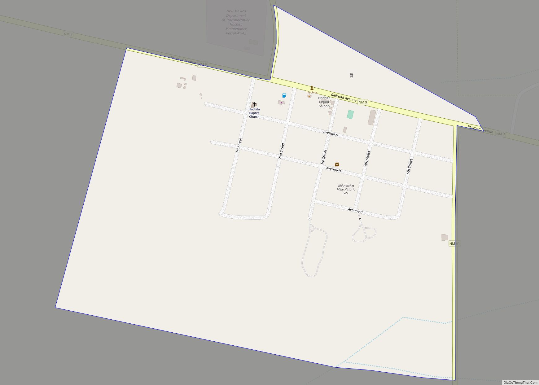
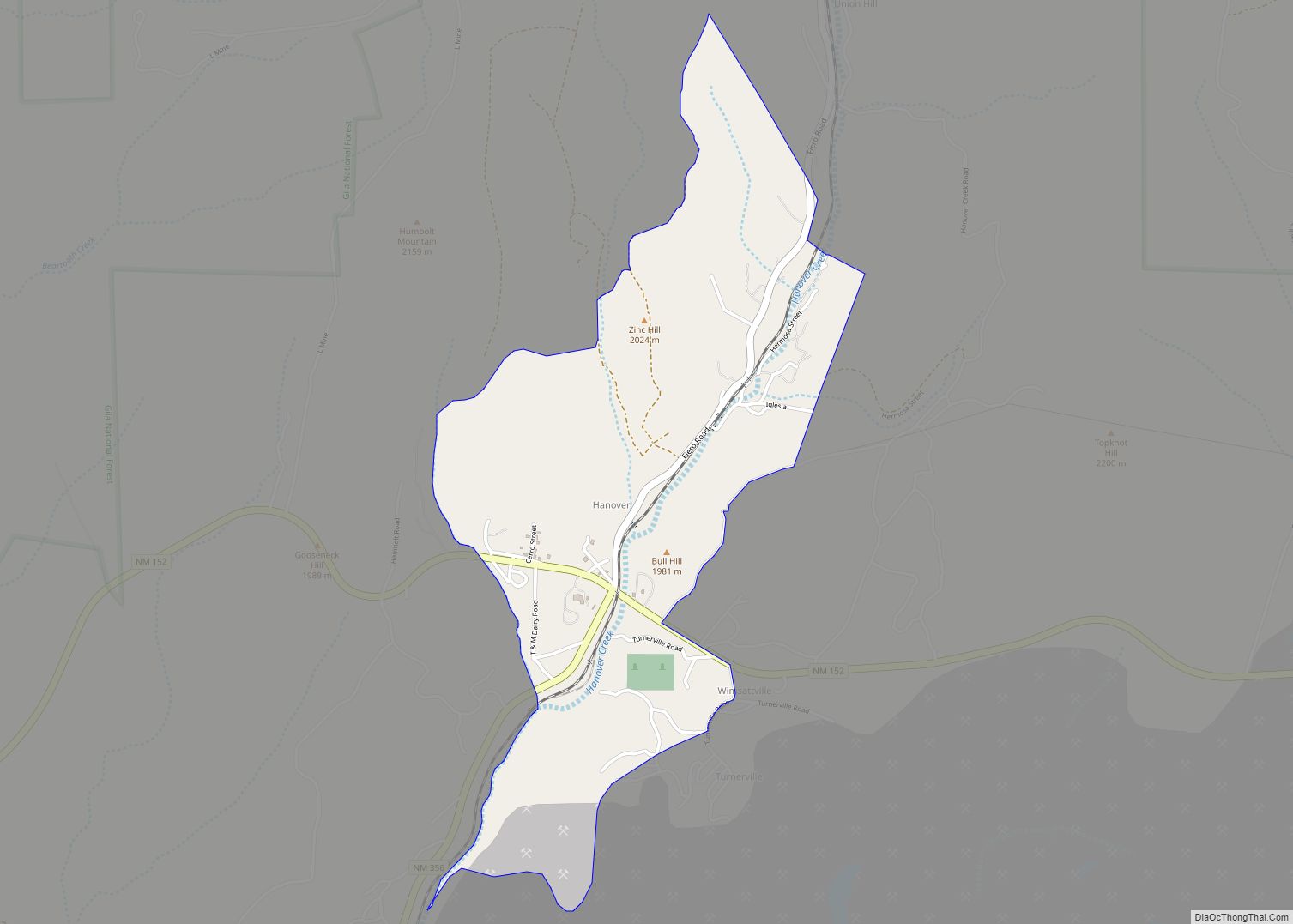
Online Interactive Map
Click on ![]() to view map in "full screen" mode.
to view map in "full screen" mode.
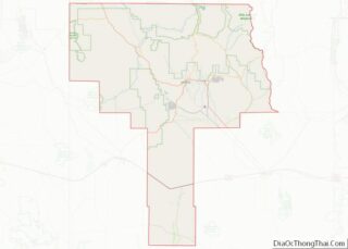
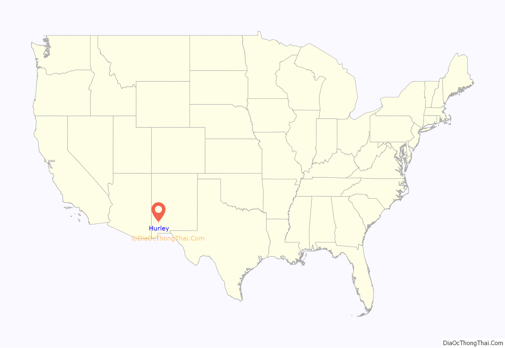
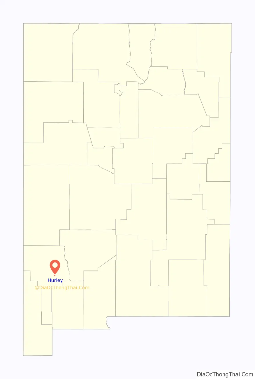
Hurley location map. Where is Hurley town?
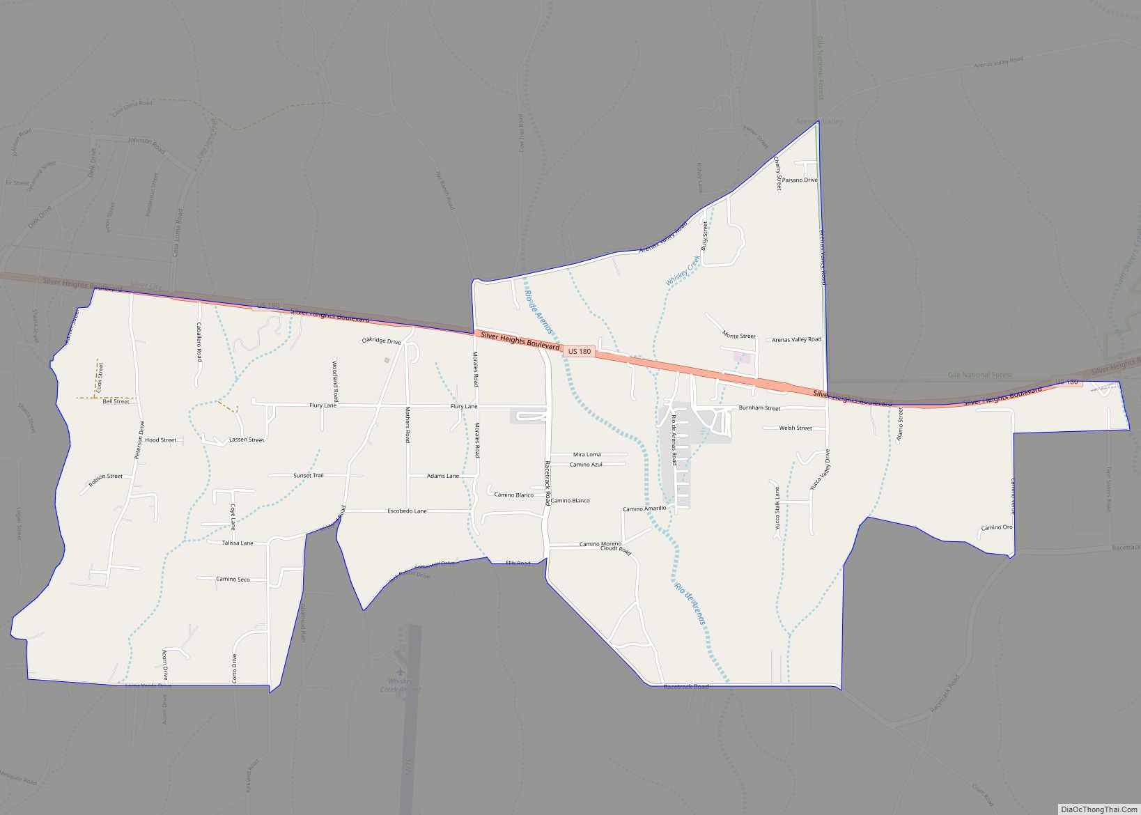
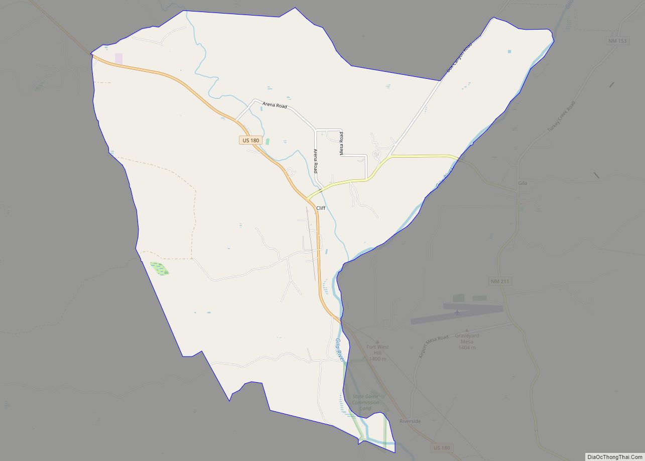
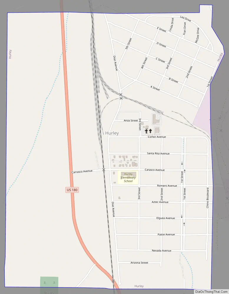
Hurley Road Map
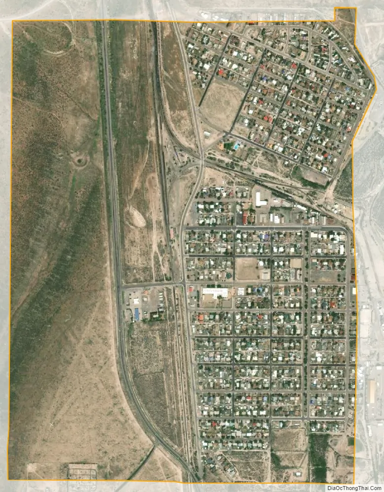
Hurley city Satellite Map
Geography
Hurley is located in east-central Grant County at 32°41′59″N 108°7′43″W / 32.69972°N 108.12861°W / 32.69972; -108.12861 (32.699594, -108.128629). U.S. Route 180 passes through the town, leading north 4 miles (6 km) to Bayard, and southeast 38 miles (61 km) to Deming and Interstate 10.
The Grant County Airport and the hamlet and ranch of Apache Tejo are approximately three miles south of Hurley.
The large, open pit Chino Mine and its related facilities lie just to the east of Hurley.
According to the United States Census Bureau, the town has a total area of 1.02 square miles (2.65 km), of which 0.004 square miles (0.01 km), or 0.36%, is water.
See also
Map of New Mexico State and its subdivision: Map of other states:- Alabama
- Alaska
- Arizona
- Arkansas
- California
- Colorado
- Connecticut
- Delaware
- District of Columbia
- Florida
- Georgia
- Hawaii
- Idaho
- Illinois
- Indiana
- Iowa
- Kansas
- Kentucky
- Louisiana
- Maine
- Maryland
- Massachusetts
- Michigan
- Minnesota
- Mississippi
- Missouri
- Montana
- Nebraska
- Nevada
- New Hampshire
- New Jersey
- New Mexico
- New York
- North Carolina
- North Dakota
- Ohio
- Oklahoma
- Oregon
- Pennsylvania
- Rhode Island
- South Carolina
- South Dakota
- Tennessee
- Texas
- Utah
- Vermont
- Virginia
- Washington
- West Virginia
- Wisconsin
- Wyoming