Kirtland is a town, made up of part of the former census-designated place (CDP) of the same name in San Juan County, New Mexico, United States. The population of the former CDP was 6,190 at the 2000 census. It is part of the Farmington Metropolitan Statistical Area.
| Name: | Kirtland town |
|---|---|
| LSAD Code: | 43 |
| LSAD Description: | town (suffix) |
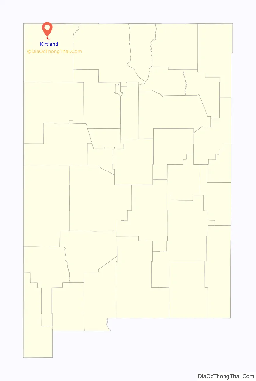
| State: | New Mexico |
| County: | San Juan County |
| Elevation: | 5,187 ft (1,581 m) |
| Total Area: | 1.76 sq mi (4.57 km²) |
| Land Area: | 1.72 sq mi (4.46 km²) |
| Water Area: | 0.04 sq mi (0.11 km²) |
| Total Population: | 585 |
| Population Density: | 339.72/sq mi (131.18/km²) |
| ZIP code: | 87417 |
| Area code: | 505 |
| FIPS code: | 3536230 |
| GNISfeature ID: | 0902282 |
| Website: | kirtlandnm.org |
Online Interactive Map
Click on ![]() to view map in "full screen" mode.
to view map in "full screen" mode.
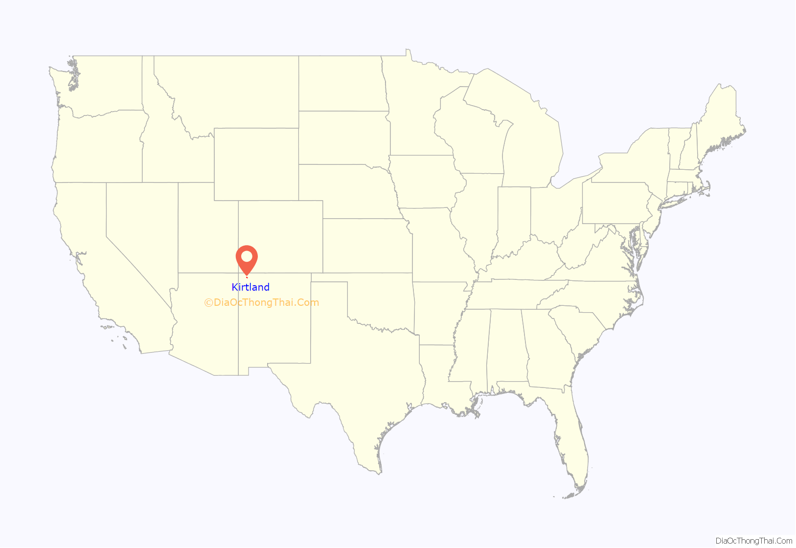
Kirtland location map. Where is Kirtland town?
History
Kirtland was founded in the early 1880s by Mormon settlers, who named it after Kirtland, Ohio. (Reflecting its history and principal demographic, the city’s principal thoroughfare is Brigham Street, with a Mormon meetinghouse on the street and a release-time seminary building across the street from Kirtland Central High School.) There had been a few Mormons who had settled in Fruitland as early as 1878. As of 2000, Fruitland was designated as part of Kirtland for census purposes. Another Mormon settlement of these early days was Waterflow, just west of Fruitland, which appears on maps to this day. A Mormon meetinghouse was dedicated in Kirtland by Heber J. Grant in 1928.
The town incorporated in January 2015, after an 80–40 vote in favor of doing so.
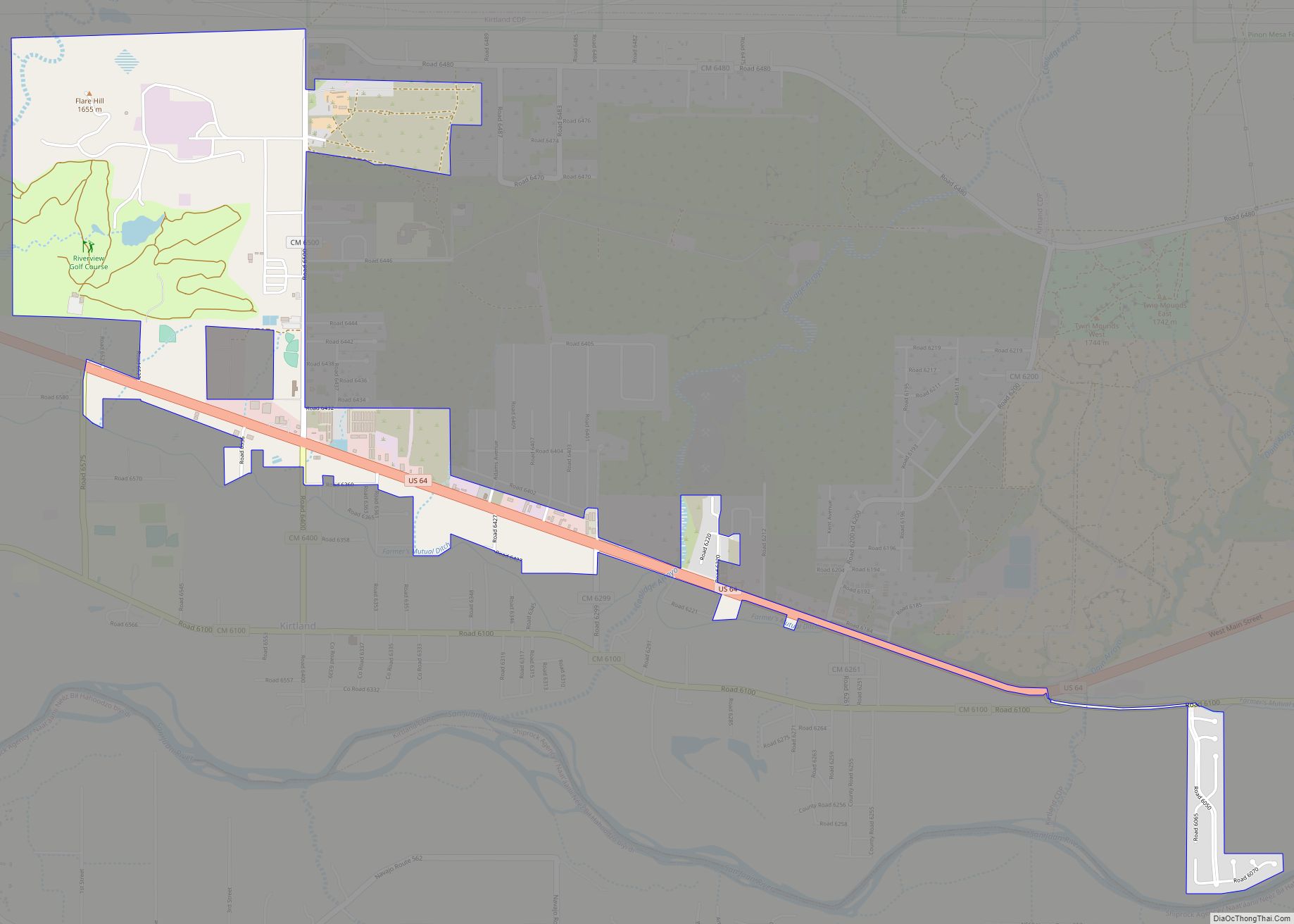
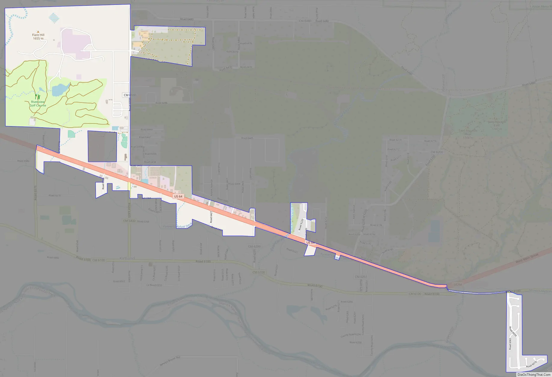
Kirtland Road Map
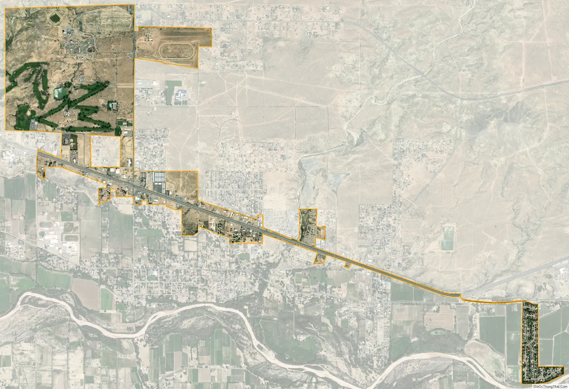
Kirtland city Satellite Map
Geography
Kirtland is located at 36°44′23″N 108°20′42″W / 36.73972°N 108.34500°W / 36.73972; -108.34500 (36.739668, -108.345121).
According to the United States Census Bureau, the town has a total area of 0.670 square miles (1.74 km), all land.
See also
Map of New Mexico State and its subdivision: Map of other states:- Alabama
- Alaska
- Arizona
- Arkansas
- California
- Colorado
- Connecticut
- Delaware
- District of Columbia
- Florida
- Georgia
- Hawaii
- Idaho
- Illinois
- Indiana
- Iowa
- Kansas
- Kentucky
- Louisiana
- Maine
- Maryland
- Massachusetts
- Michigan
- Minnesota
- Mississippi
- Missouri
- Montana
- Nebraska
- Nevada
- New Hampshire
- New Jersey
- New Mexico
- New York
- North Carolina
- North Dakota
- Ohio
- Oklahoma
- Oregon
- Pennsylvania
- Rhode Island
- South Carolina
- South Dakota
- Tennessee
- Texas
- Utah
- Vermont
- Virginia
- Washington
- West Virginia
- Wisconsin
- Wyoming