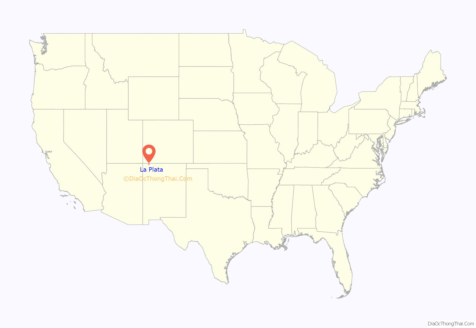
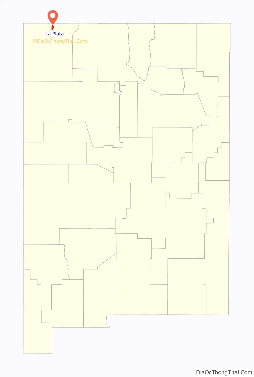
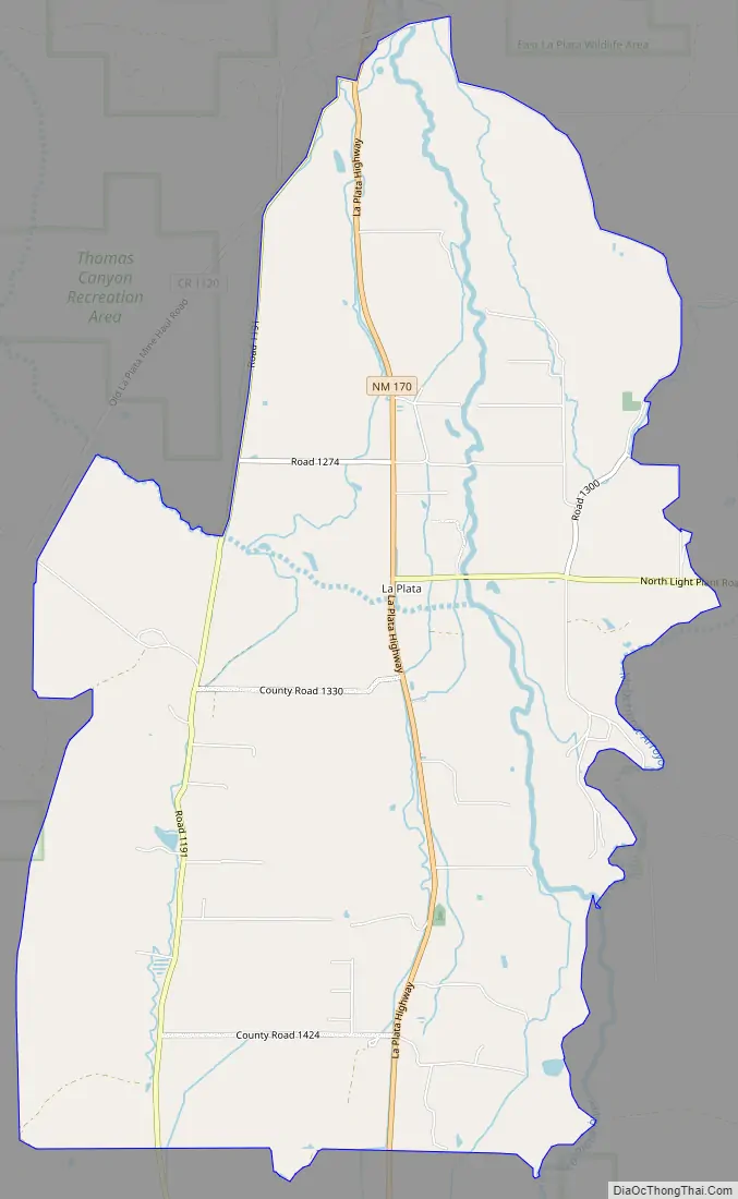
La Plata is a census-designated place in San Juan County, New Mexico, United States. Its population was 612 as of the 2010 census. La Plata has a post office with ZIP code 87418. The community is located at the junction of state roads 170 and 574.
| Name: | La Plata CDP |
|---|---|
| LSAD Code: | 57 |
| LSAD Description: | CDP (suffix) |
| State: | New Mexico |
| County: | San Juan County |
| Elevation: | 5,787 ft (1,764 m) |
| Total Area: | 22.17 sq mi (57.41 km²) |
| Land Area: | 22.16 sq mi (57.40 km²) |
| Water Area: | 0.01 sq mi (0.01 km²) |
| Total Population: | 2,105 |
| Population Density: | 94.98/sq mi (36.67/km²) |
| ZIP code: | 87418 |
| Area code: | 505 |
| FIPS code: | 3539030 |
| GNISfeature ID: | 890851 |
Online Interactive Map
Click on ![]() to view map in "full screen" mode.
to view map in "full screen" mode.
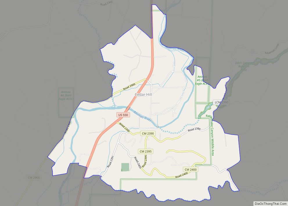
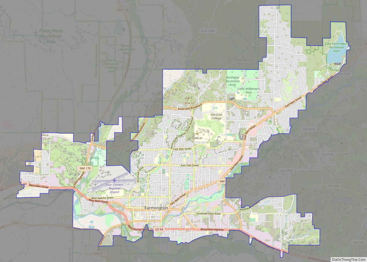
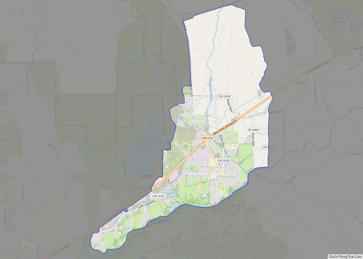
La Plata location map. Where is La Plata CDP?
La Plata Road Map
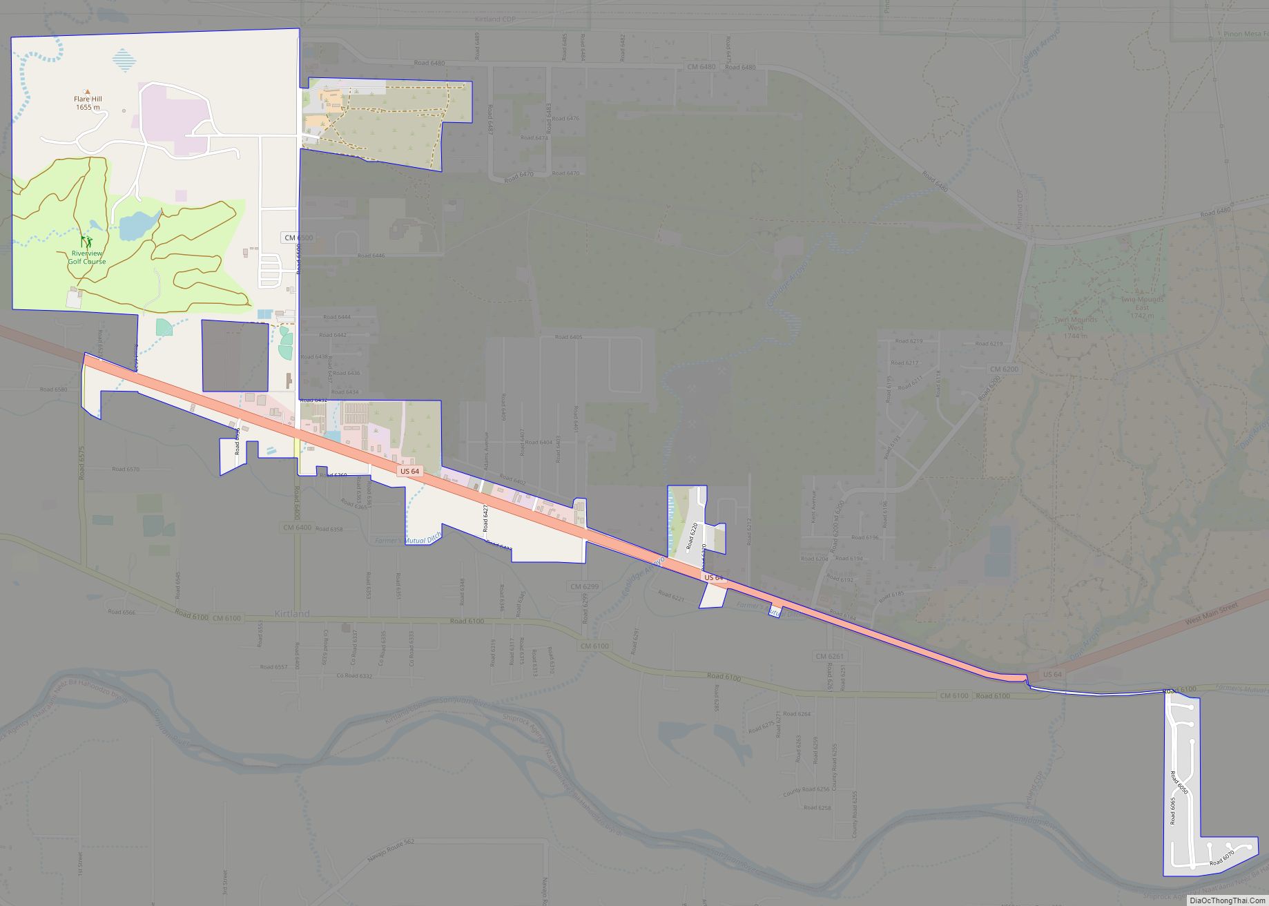
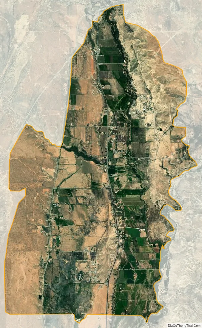
La Plata city Satellite Map
See also
Map of New Mexico State and its subdivision: Map of other states:- Alabama
- Alaska
- Arizona
- Arkansas
- California
- Colorado
- Connecticut
- Delaware
- District of Columbia
- Florida
- Georgia
- Hawaii
- Idaho
- Illinois
- Indiana
- Iowa
- Kansas
- Kentucky
- Louisiana
- Maine
- Maryland
- Massachusetts
- Michigan
- Minnesota
- Mississippi
- Missouri
- Montana
- Nebraska
- Nevada
- New Hampshire
- New Jersey
- New Mexico
- New York
- North Carolina
- North Dakota
- Ohio
- Oklahoma
- Oregon
- Pennsylvania
- Rhode Island
- South Carolina
- South Dakota
- Tennessee
- Texas
- Utah
- Vermont
- Virginia
- Washington
- West Virginia
- Wisconsin
- Wyoming