Laguna is a census-designated place (CDP) in Cibola County, New Mexico, United States. The population was 1,241 at the 2010 census. It is located approximately 47 miles west of Albuquerque.
Laguna was founded in 1699, making it the most recent of the New Mexican pueblos. The people of Laguna Pueblo speak Western Keresan. Laguna is home to an annual feast to Saint Joseph.
| Name: | Laguna CDP |
|---|---|
| LSAD Code: | 57 |
| LSAD Description: | CDP (suffix) |
| State: | New Mexico |
| County: | Cibola County |
| Elevation: | 5,807 ft (1,770 m) |
| Total Area: | 9.56 sq mi (24.75 km²) |
| Land Area: | 9.55 sq mi (24.74 km²) |
| Water Area: | 0.00 sq mi (0.01 km²) |
| Total Population: | 1,282 |
| Population Density: | 134.20/sq mi (51.82/km²) |
| ZIP code: | 87026 |
| Area code: | 505 |
| FIPS code: | 3537070 |
| GNISfeature ID: | 0928750 |
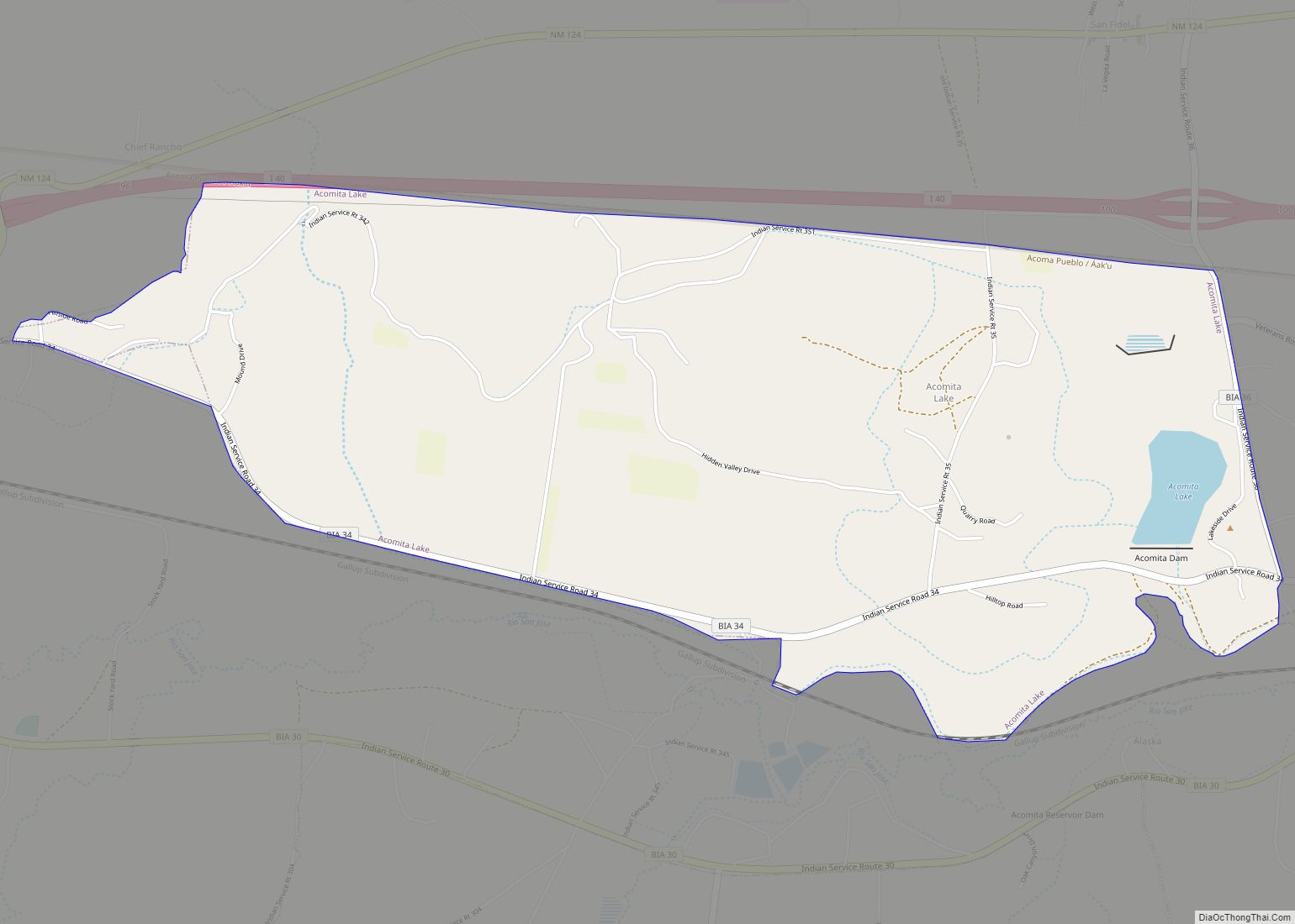
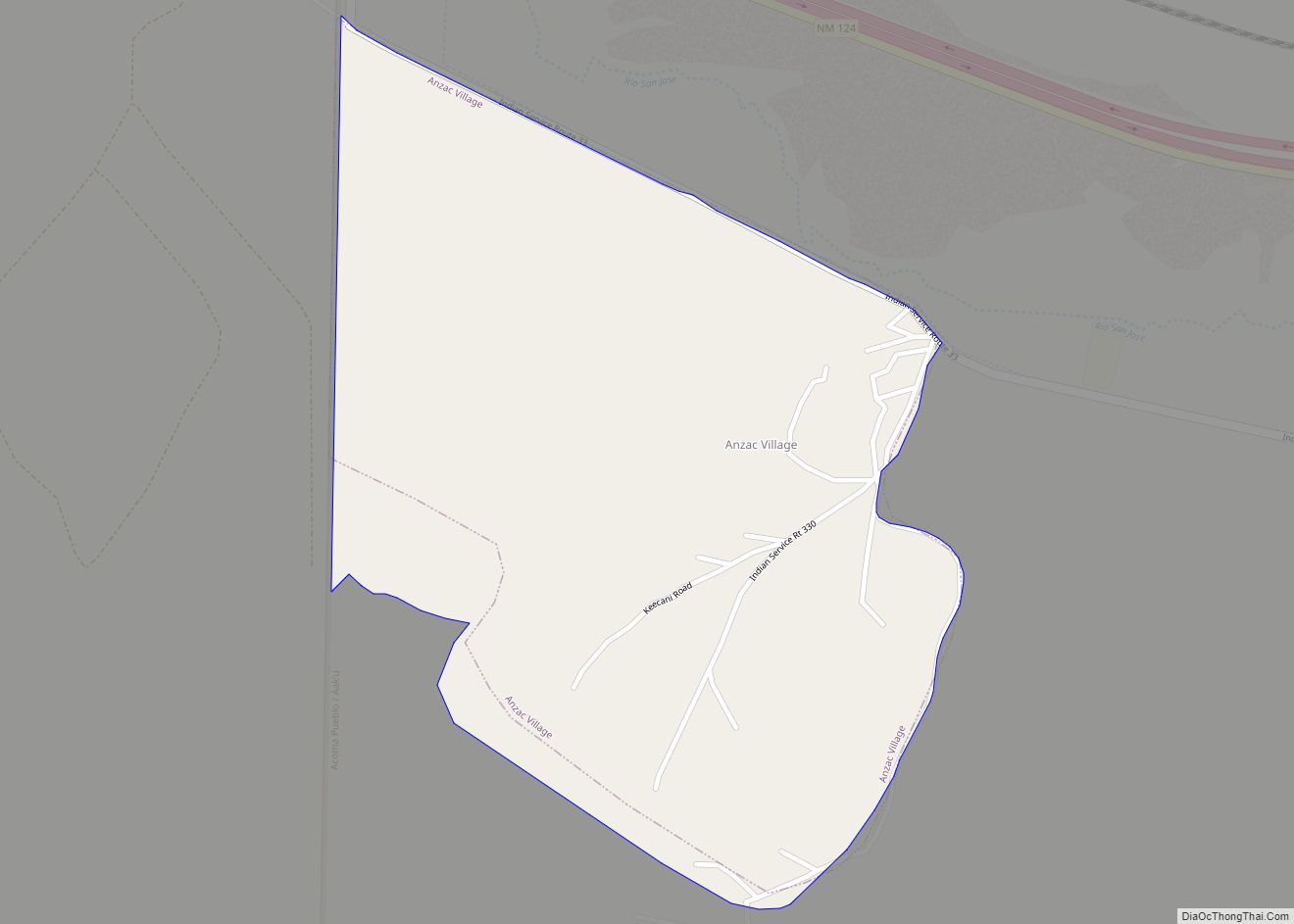
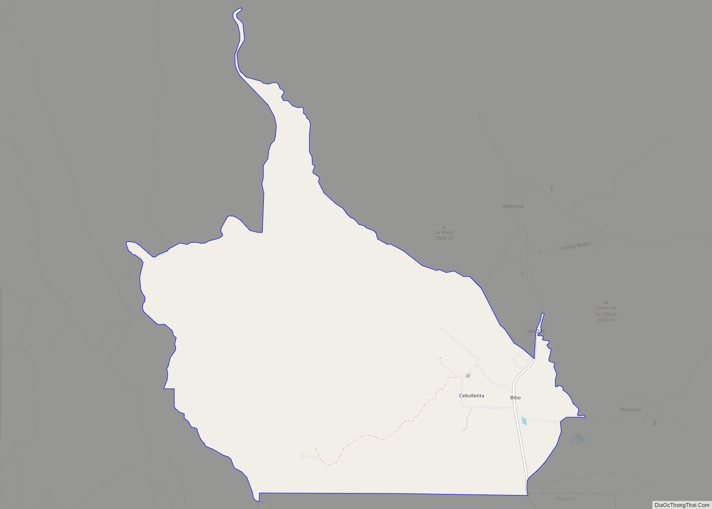
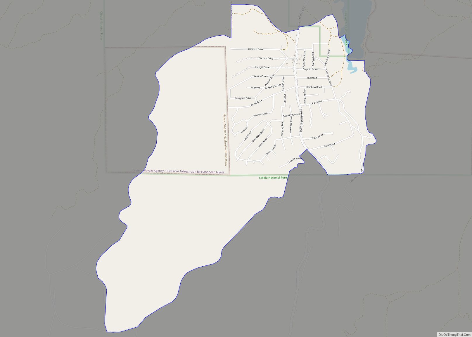
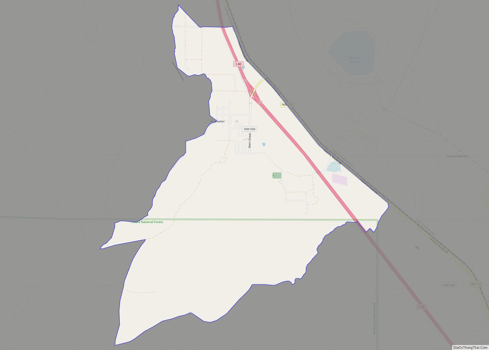
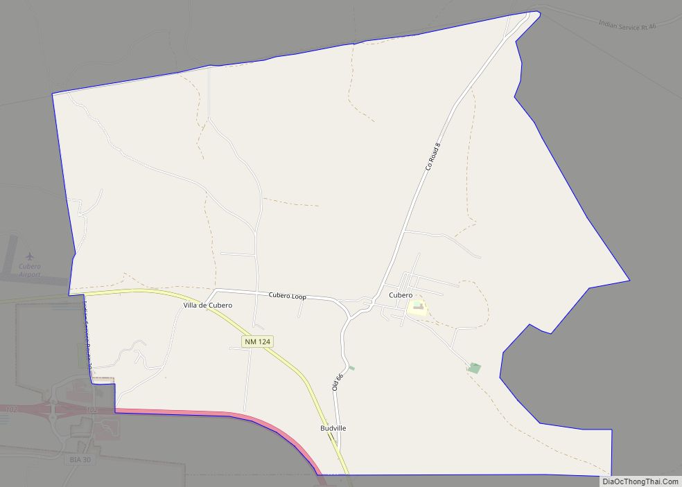
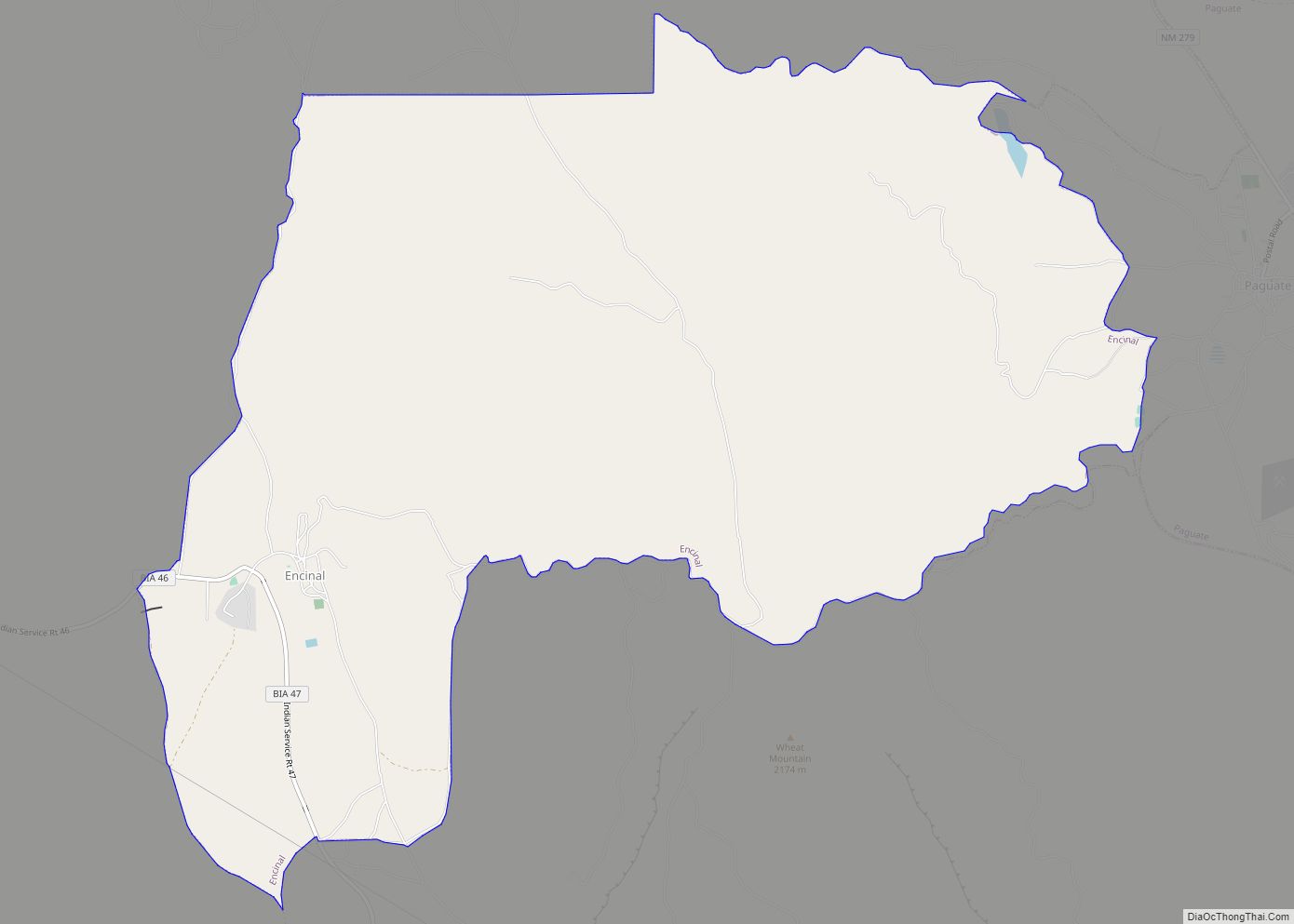
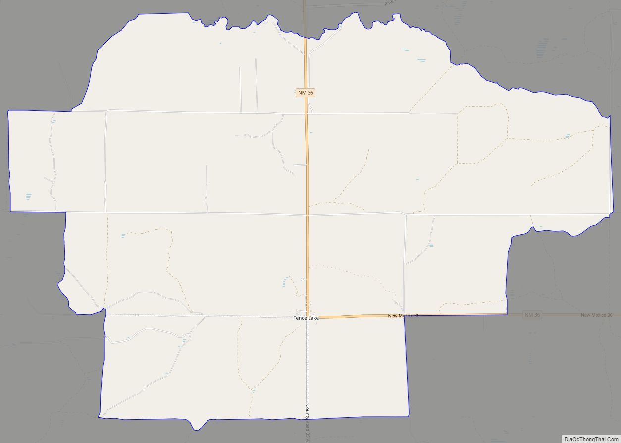
Online Interactive Map
Click on ![]() to view map in "full screen" mode.
to view map in "full screen" mode.
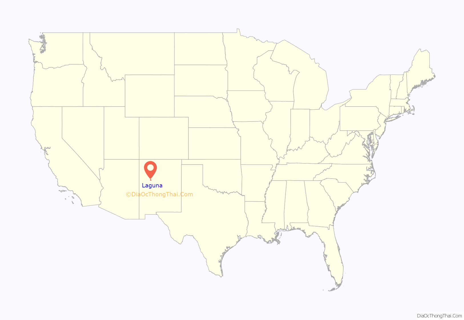
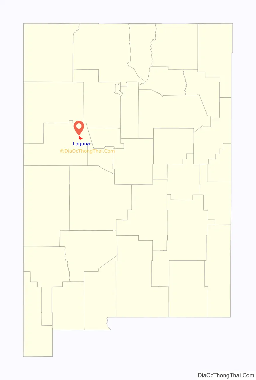
Laguna location map. Where is Laguna CDP?
History
The San Jose de la Laguna Mission and Convento, built starting in 1699, is in Laguna. It is extremely well-preserved, and has been listed on the National Register of Historic Places since 1973.
Anton Docher, the “Padre of Isleta”, served as a priest in Laguna during his long period in Isleta.
Laguna Road Map
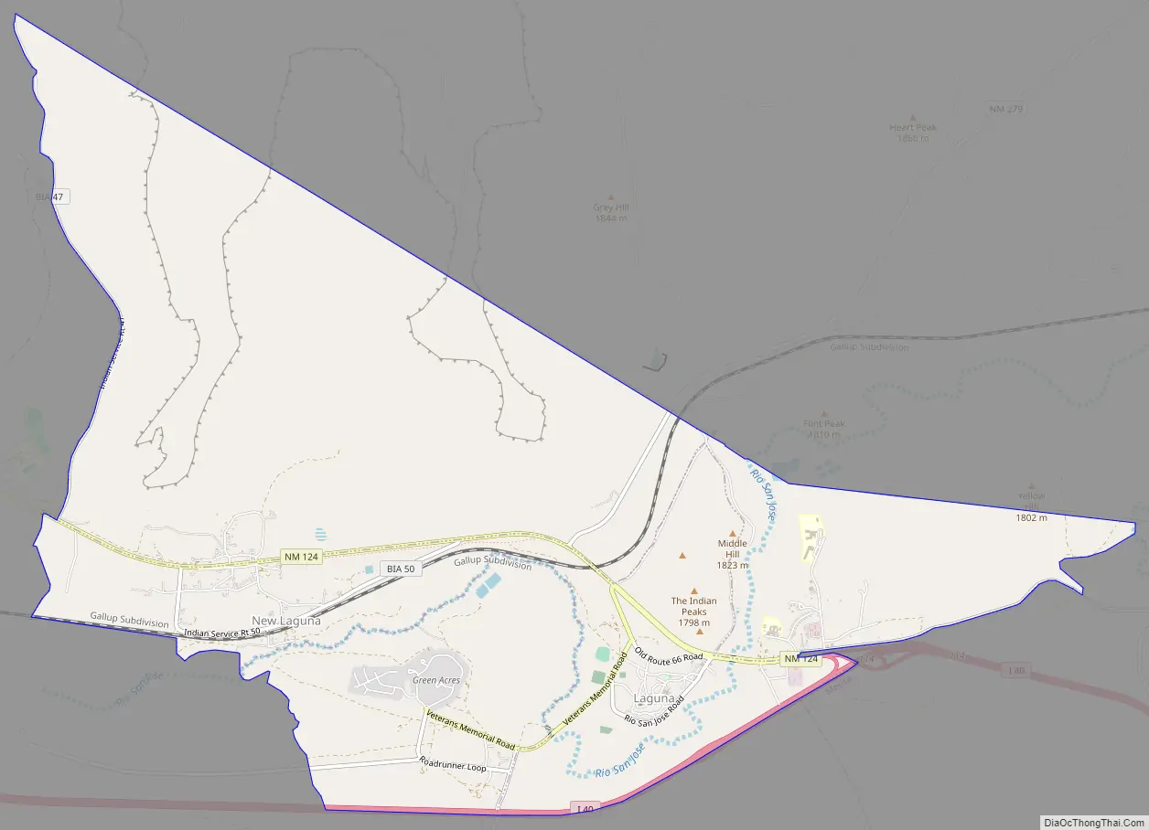
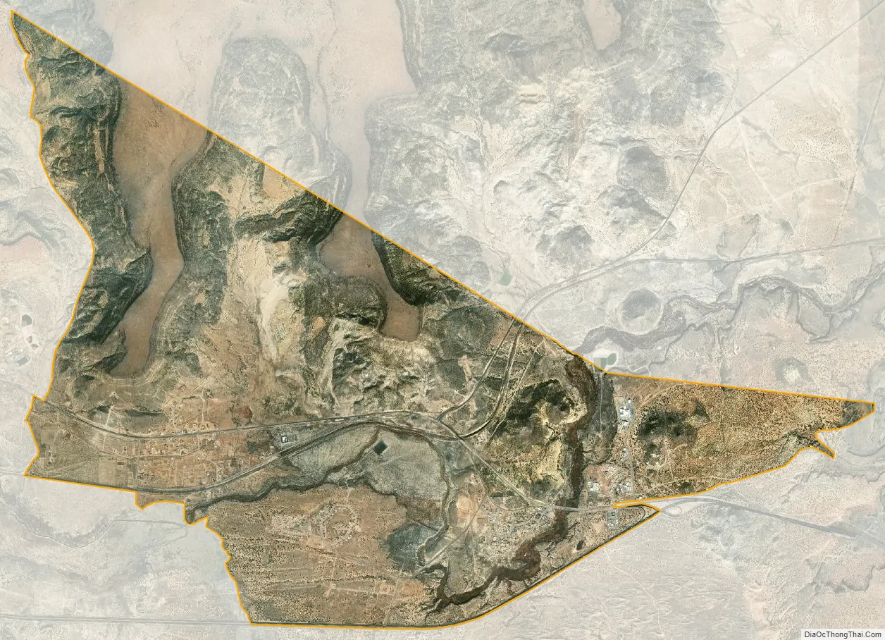
Laguna city Satellite Map
Geography
Laguna is located in eastern Cibola County at 35°2′50″N 107°24′11″W / 35.04722°N 107.40306°W / 35.04722; -107.40306 (35.047195, -107.403024). It is bordered to the west by Paraje, to the southeast by Mesita, and to the south by Interstate 40, which provides access from Exit 114. Old U.S. Route 66 passes through the community.
According to the United States Census Bureau, the CDP has a total area of 10.9 square miles (28.3 km), all land. The CDP includes the original settlement of Laguna as well as New Laguna, about 2.5 miles (4.0 km) to the west on old Highway 66.
See also
Map of New Mexico State and its subdivision: Map of other states:- Alabama
- Alaska
- Arizona
- Arkansas
- California
- Colorado
- Connecticut
- Delaware
- District of Columbia
- Florida
- Georgia
- Hawaii
- Idaho
- Illinois
- Indiana
- Iowa
- Kansas
- Kentucky
- Louisiana
- Maine
- Maryland
- Massachusetts
- Michigan
- Minnesota
- Mississippi
- Missouri
- Montana
- Nebraska
- Nevada
- New Hampshire
- New Jersey
- New Mexico
- New York
- North Carolina
- North Dakota
- Ohio
- Oklahoma
- Oregon
- Pennsylvania
- Rhode Island
- South Carolina
- South Dakota
- Tennessee
- Texas
- Utah
- Vermont
- Virginia
- Washington
- West Virginia
- Wisconsin
- Wyoming