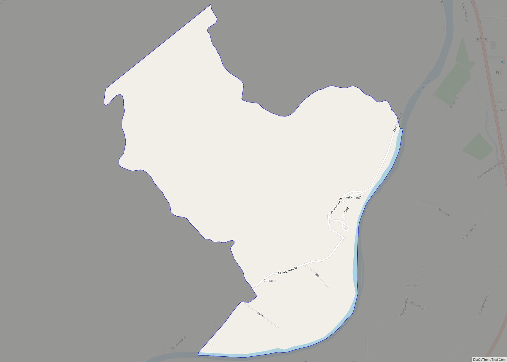
Lyden is an unincorporated community and census-designated place in Rio Arriba County, New Mexico, United States. Its population was 245 as of the 2010 census. The community is located on the west bank of the Rio Grande. It was formerly known as “El Bosque.” A post office operated in Lyden between 1902 and 1957.
| Name: | Lyden CDP |
|---|---|
| LSAD Code: | 57 |
| LSAD Description: | CDP (suffix) |
| State: | New Mexico |
| County: | Rio Arriba County |
| Elevation: | 5,735 ft (1,748 m) |
| Total Area: | 2.24 sq mi (5.81 km²) |
| Land Area: | 2.24 sq mi (5.81 km²) |
| Water Area: | 0.00 sq mi (0.00 km²) |
| Total Population: | 250 |
| Population Density: | 111.51/sq mi (43.04/km²) |
| Area code: | 505 |
| FIPS code: | 3545400 |
| GNISfeature ID: | 928757 |
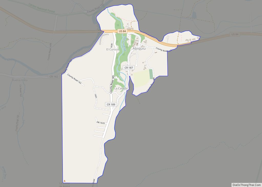
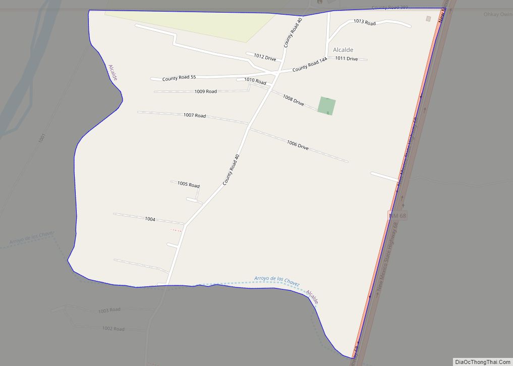
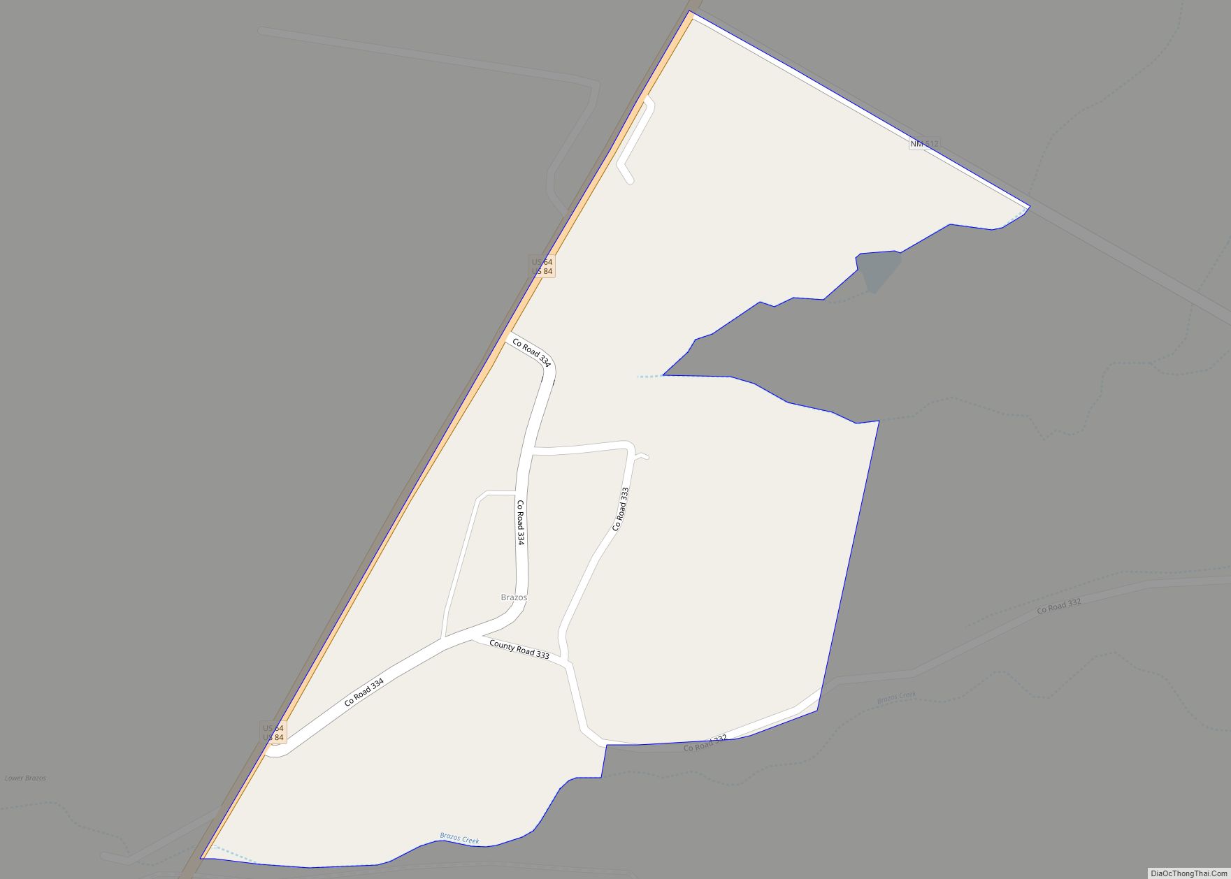
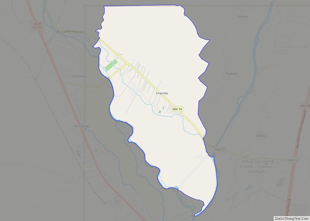
Online Interactive Map
Click on ![]() to view map in "full screen" mode.
to view map in "full screen" mode.
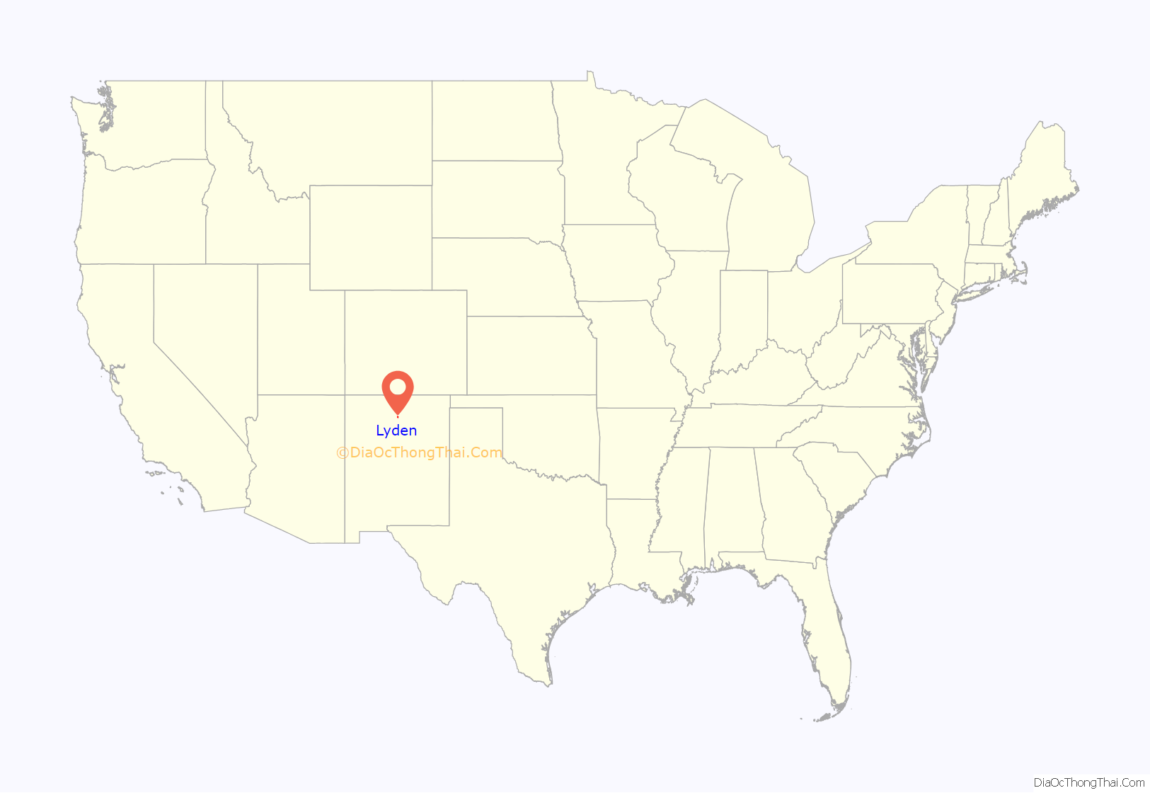
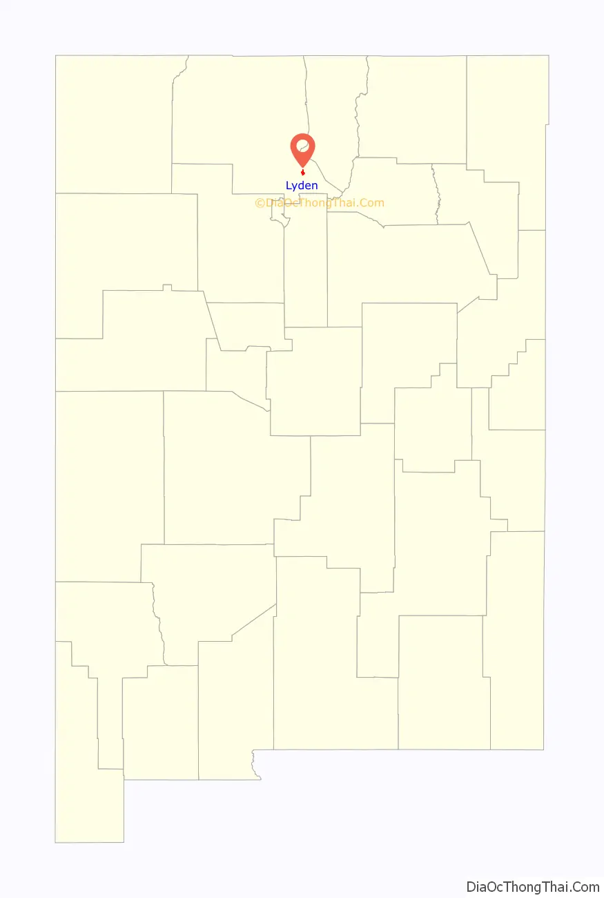
Lyden location map. Where is Lyden CDP?
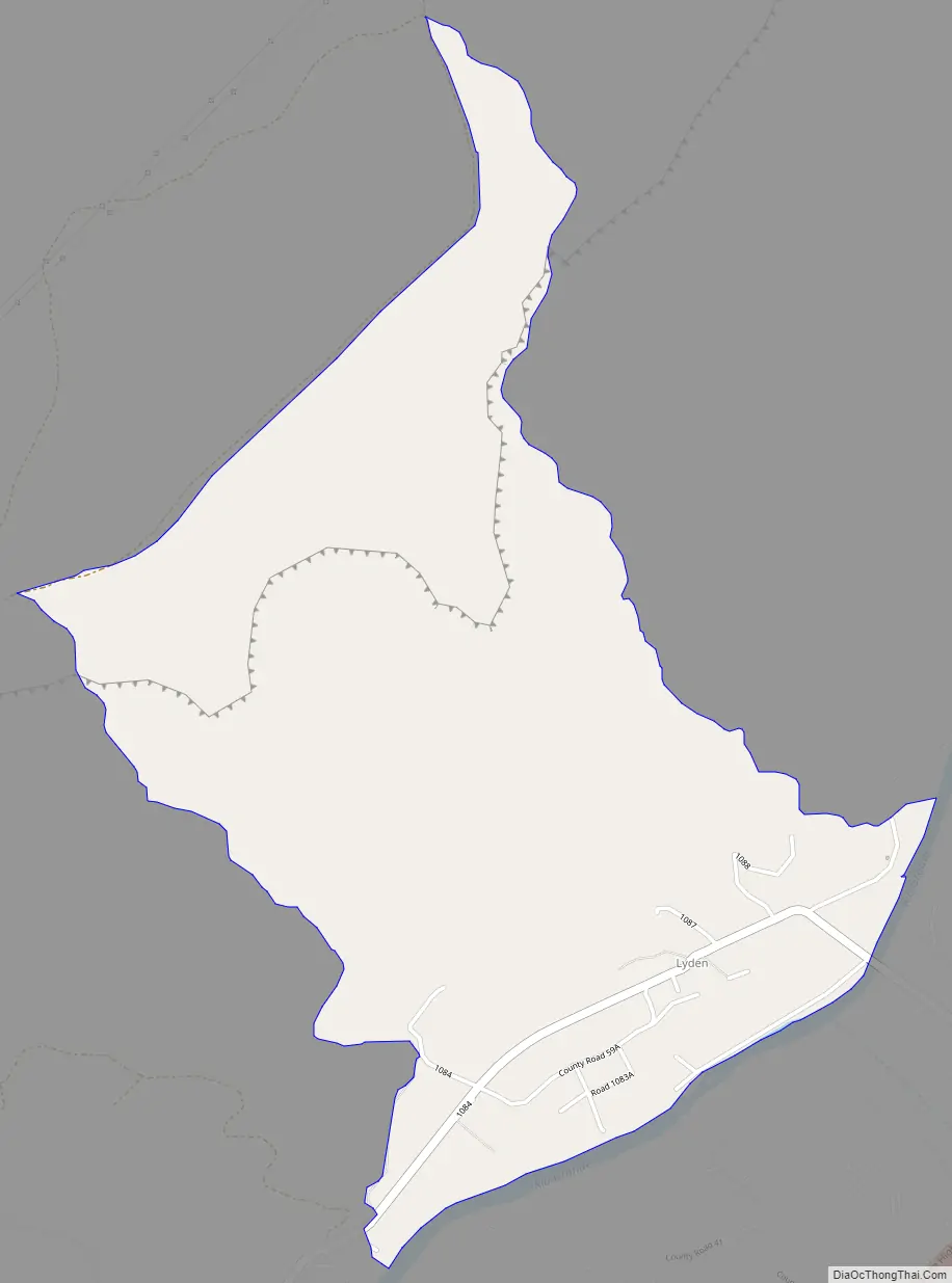
Lyden Road Map
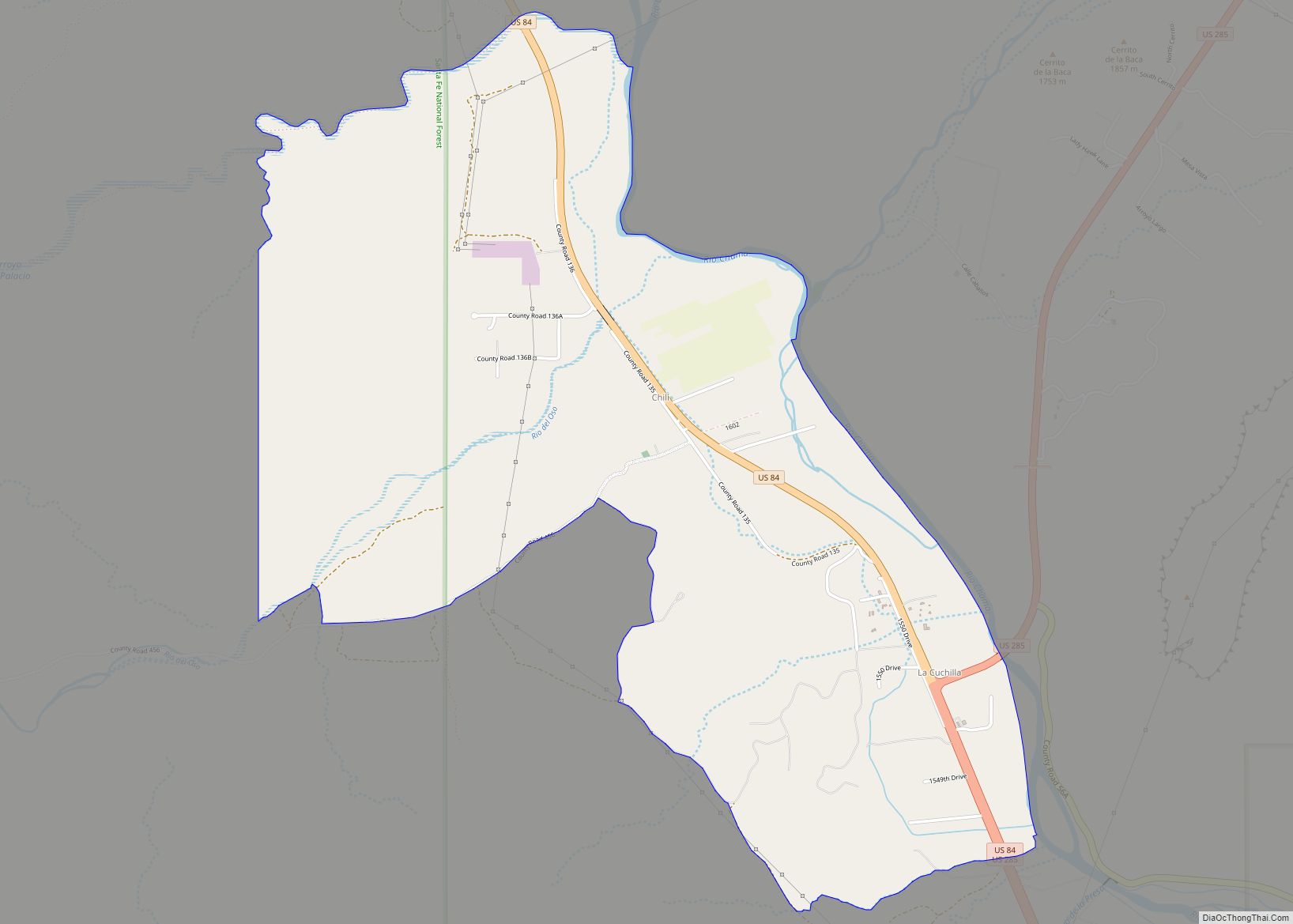
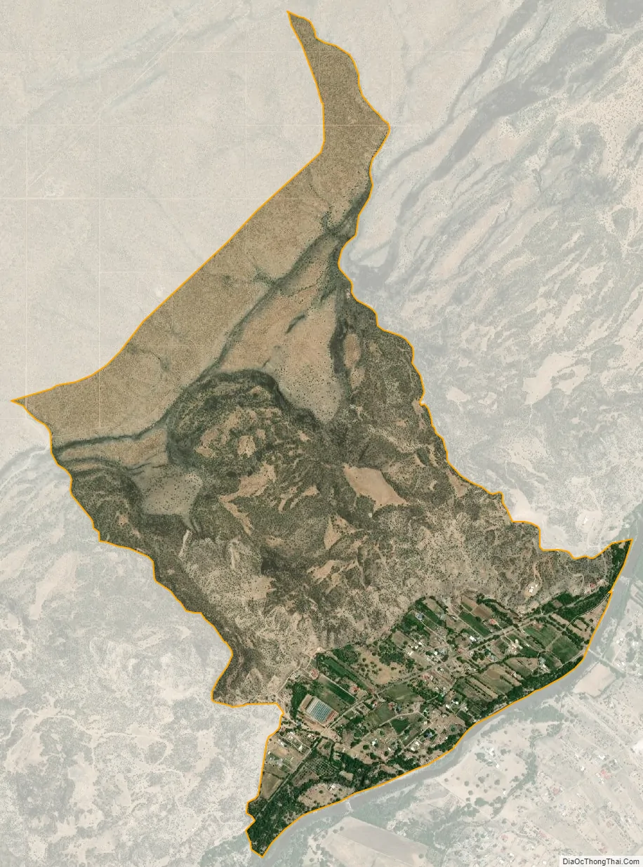
Lyden city Satellite Map
Geography
Lyden is located at 36°08′46″N 106°00′20″W / 36.1461339°N 106.0055774°W / 36.1461339; -106.0055774. According to the U.S. Census Bureau, the community has an area of 2.242 square miles (5.81 km), all land.
See also
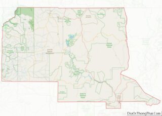
Map of New Mexico State and its subdivision: Map of other states:- Alabama
- Alaska
- Arizona
- Arkansas
- California
- Colorado
- Connecticut
- Delaware
- District of Columbia
- Florida
- Georgia
- Hawaii
- Idaho
- Illinois
- Indiana
- Iowa
- Kansas
- Kentucky
- Louisiana
- Maine
- Maryland
- Massachusetts
- Michigan
- Minnesota
- Mississippi
- Missouri
- Montana
- Nebraska
- Nevada
- New Hampshire
- New Jersey
- New Mexico
- New York
- North Carolina
- North Dakota
- Ohio
- Oklahoma
- Oregon
- Pennsylvania
- Rhode Island
- South Carolina
- South Dakota
- Tennessee
- Texas
- Utah
- Vermont
- Virginia
- Washington
- West Virginia
- Wisconsin
- Wyoming