Magdalena is a village in Socorro County, New Mexico, United States. The population was 938 at the 2010 census.
“The Lady on the Mountain” is a rock formation on Magdalena Peak overlooking Magdalena. Spanish soldiers saw the profile of a woman on the west face of the peak. A priest with them was reminded of a similar peak in Spain called “La Sierra de Maria Magdalena”, so he called the New Mexico one “La Sierra de Magdalena”. The pass to the south of the peak became known as Magdalena Gap, and when a town grew up it received the same name.
Magdalena continues to be a ranching community while strengthening its art, astronomy and geology venues. The reopening of the Magdalena Hall Hotel (circa 1917) and the renovation of other historical buildings allow visitors to connect to the past. The Magdalena Public Library and Boxcar Museum are housed in the old railroad depot. Several rock and mineral shops have been around since the mining boom days. The ghost town of Kelly and two festivals, the “Open Studio and Gallery Tour” and the “Old Timers Reunion and Rodeo”, bring tourists to the area. The “Enchanted Skies Star Party” in early fall brings astronomers and astro-photographers together under its very dark skies.
The Very Large Array lies 24 miles due west of the community. The Magdalena Ridge Observatory lies 25 miles southeast at an elevation of 10,600 feet. Magdalena is located 26 miles west of Socorro.
| Name: | Magdalena village |
|---|---|
| LSAD Code: | 47 |
| LSAD Description: | village (suffix) |
| State: | New Mexico |
| County: | Socorro County |
| Elevation: | 6,572 ft (2,003 m) |
| Total Area: | 6.22 sq mi (16.12 km²) |
| Land Area: | 6.22 sq mi (16.12 km²) |
| Water Area: | 0.00 sq mi (0.00 km²) |
| Total Population: | 806 |
| Population Density: | 129.50/sq mi (50.00/km²) |
| ZIP code: | 87825 |
| Area code: | 575 |
| FIPS code: | 3546310 |
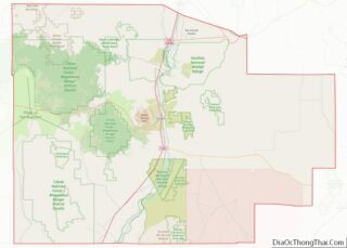
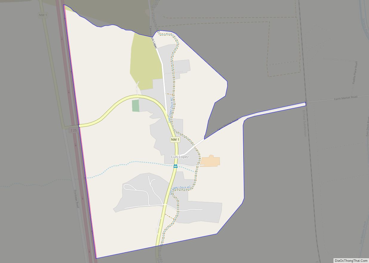
Online Interactive Map
Click on ![]() to view map in "full screen" mode.
to view map in "full screen" mode.
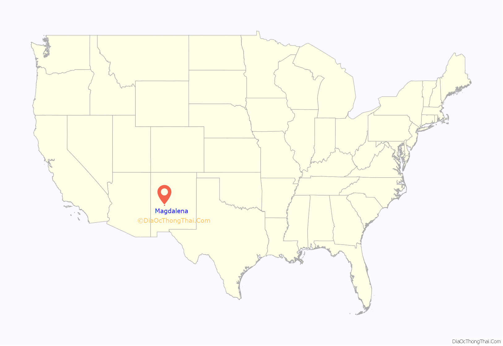
Magdalena location map. Where is Magdalena village?
History
In 1884, the village of Magdalena was named after Magdalena Peak when its post office opened. Magdalena was incorporated as a town in 1913, during a mining boom.
Magdalena is known as the “Trails End” for the railroad spur line that was built in 1885 from Socorro to Magdalena to transport the cattle, sheep wool, timber and ore. Thousands of cattle and sheep were driven into town (cowboy style) from the west, using the historic “Magdalena Trail”. This stockyard driveway was used annually, from 1885 through 1916, when the driveway was officially designated by law through the signing of the “Grazing Homestead Act”. It remained continually in use through 1971. The original stockyards are still intact.
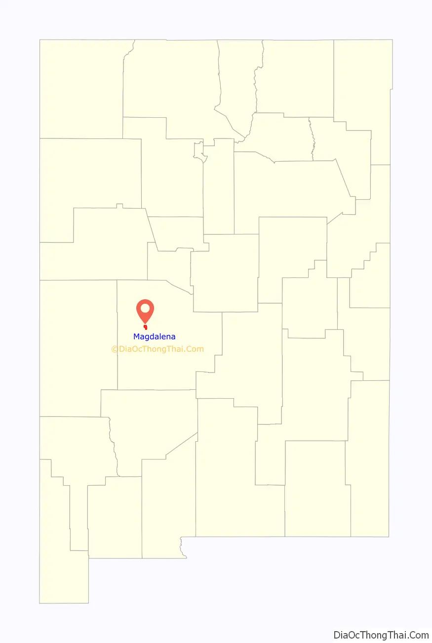
Magdalena Road Map
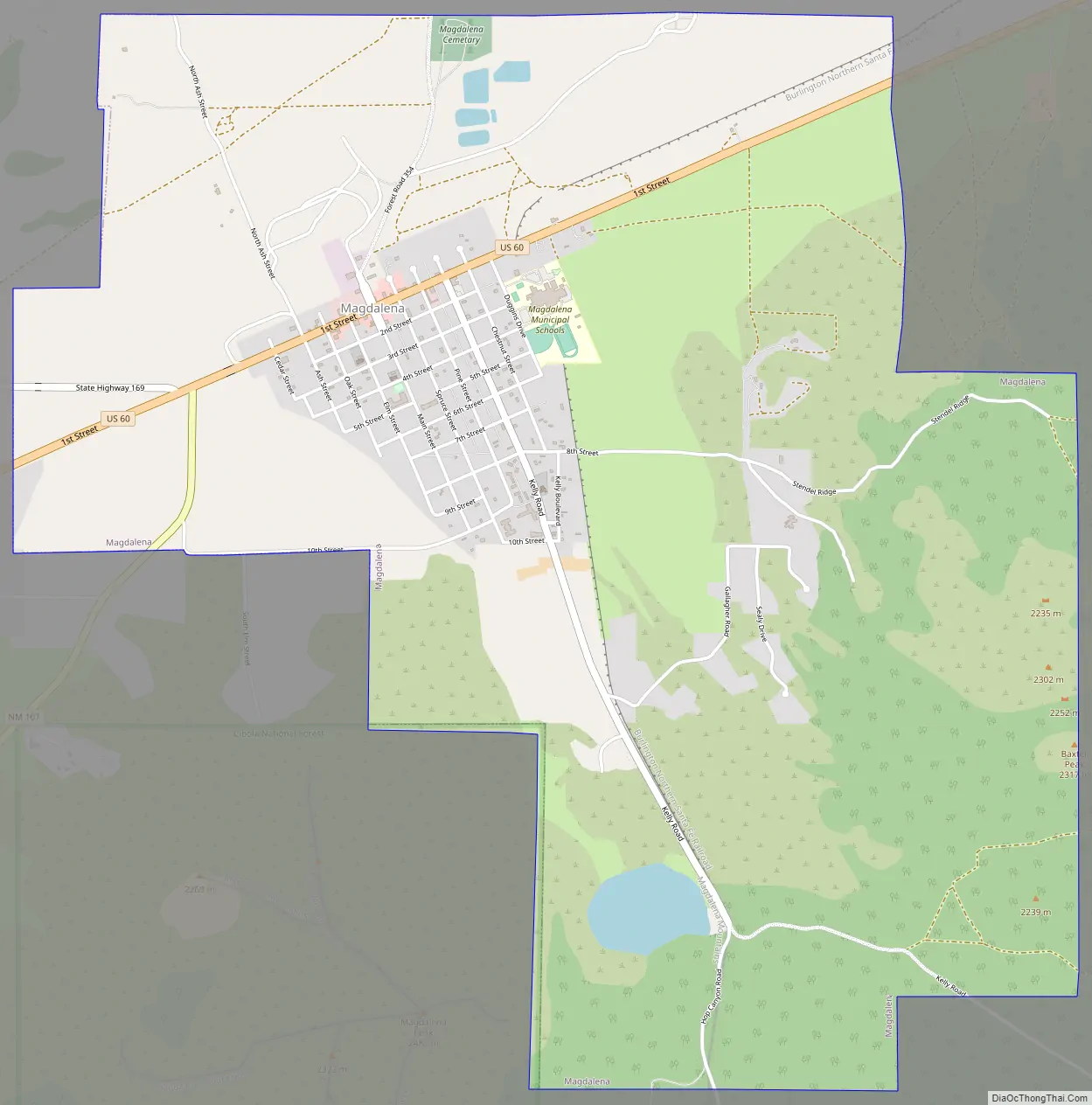
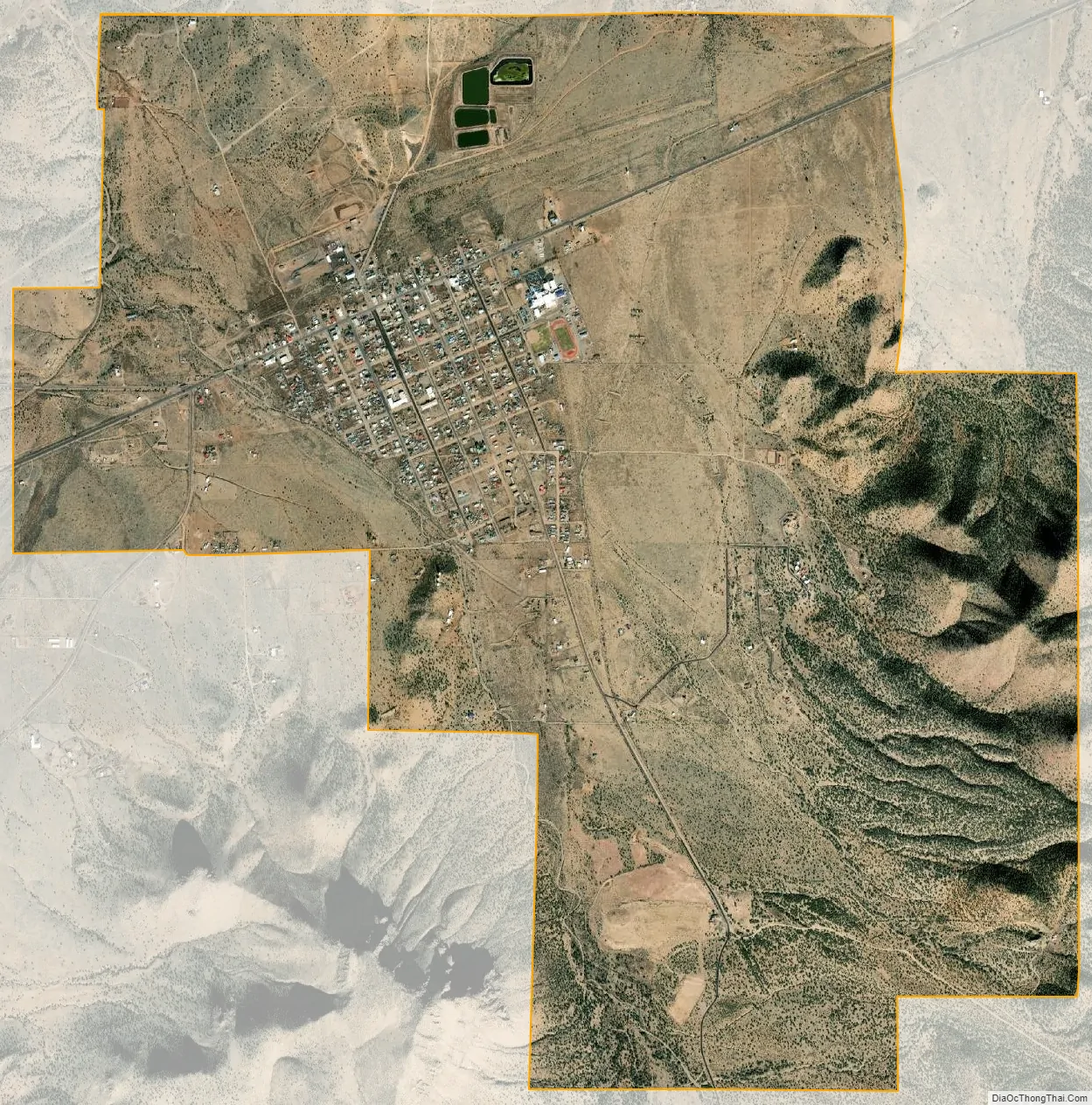
Magdalena city Satellite Map
Geography
Magdalena is located at 34°6′45″N 107°14′16″W / 34.11250°N 107.23778°W / 34.11250; -107.23778 (34.112596, -107.237904).
According to the United States Census Bureau, the village has a total area of 6.2 square miles (16 km), all land.
Climate
See also
Map of New Mexico State and its subdivision: Map of other states:- Alabama
- Alaska
- Arizona
- Arkansas
- California
- Colorado
- Connecticut
- Delaware
- District of Columbia
- Florida
- Georgia
- Hawaii
- Idaho
- Illinois
- Indiana
- Iowa
- Kansas
- Kentucky
- Louisiana
- Maine
- Maryland
- Massachusetts
- Michigan
- Minnesota
- Mississippi
- Missouri
- Montana
- Nebraska
- Nevada
- New Hampshire
- New Jersey
- New Mexico
- New York
- North Carolina
- North Dakota
- Ohio
- Oklahoma
- Oregon
- Pennsylvania
- Rhode Island
- South Carolina
- South Dakota
- Tennessee
- Texas
- Utah
- Vermont
- Virginia
- Washington
- West Virginia
- Wisconsin
- Wyoming