Nambé Oweenge Pueblo (/nɑːmˈbeɪ/ nahm/BAY; Tewa: Nambé Oweengé / Nąngbeʼe Ôwîngeh, IPA: [nɑ̃̀ŋbèʔ ʔówîŋɡè]) is a census-designated place (CDP) in Santa Fe County, New Mexico, and is also a federally recognized tribe of Native American Pueblo people.
The Pueblo of Nambé has existed since the 14th century and is a member of the Eight Northern Pueblos. It was a primary cultural, economic, and religious center at the time of the arrival of Spanish colonists in the very early 17th century. Nambé was one of the Pueblos that organized and participated in the Pueblo Revolt of 1680, trying to expel the Spanish from the area.
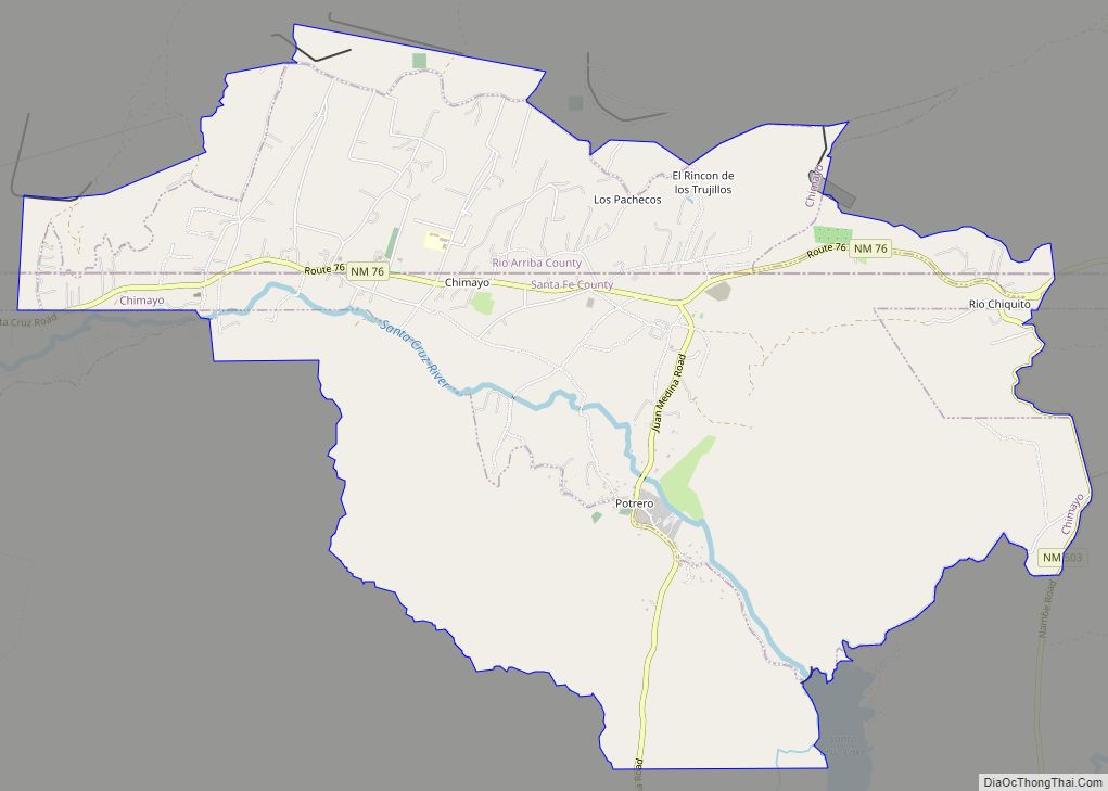
The community of Nambe, New Mexico, is separate from the pueblo.
| Name: | Nambe CDP |
|---|---|
| LSAD Code: | 57 |
| LSAD Description: | CDP (suffix) |
| State: | New Mexico |
| County: | Santa Fe County |
| FIPS code: | 3550930 |
Online Interactive Map
Click on ![]() to view map in "full screen" mode.
to view map in "full screen" mode.
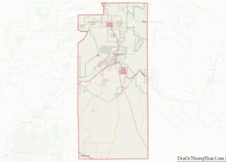
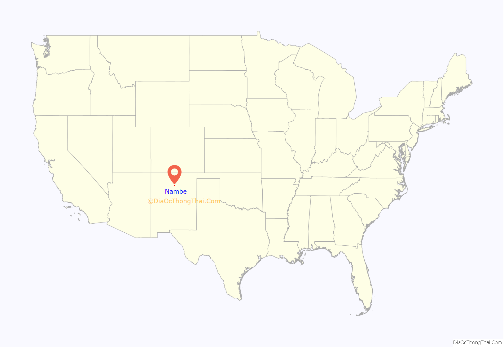
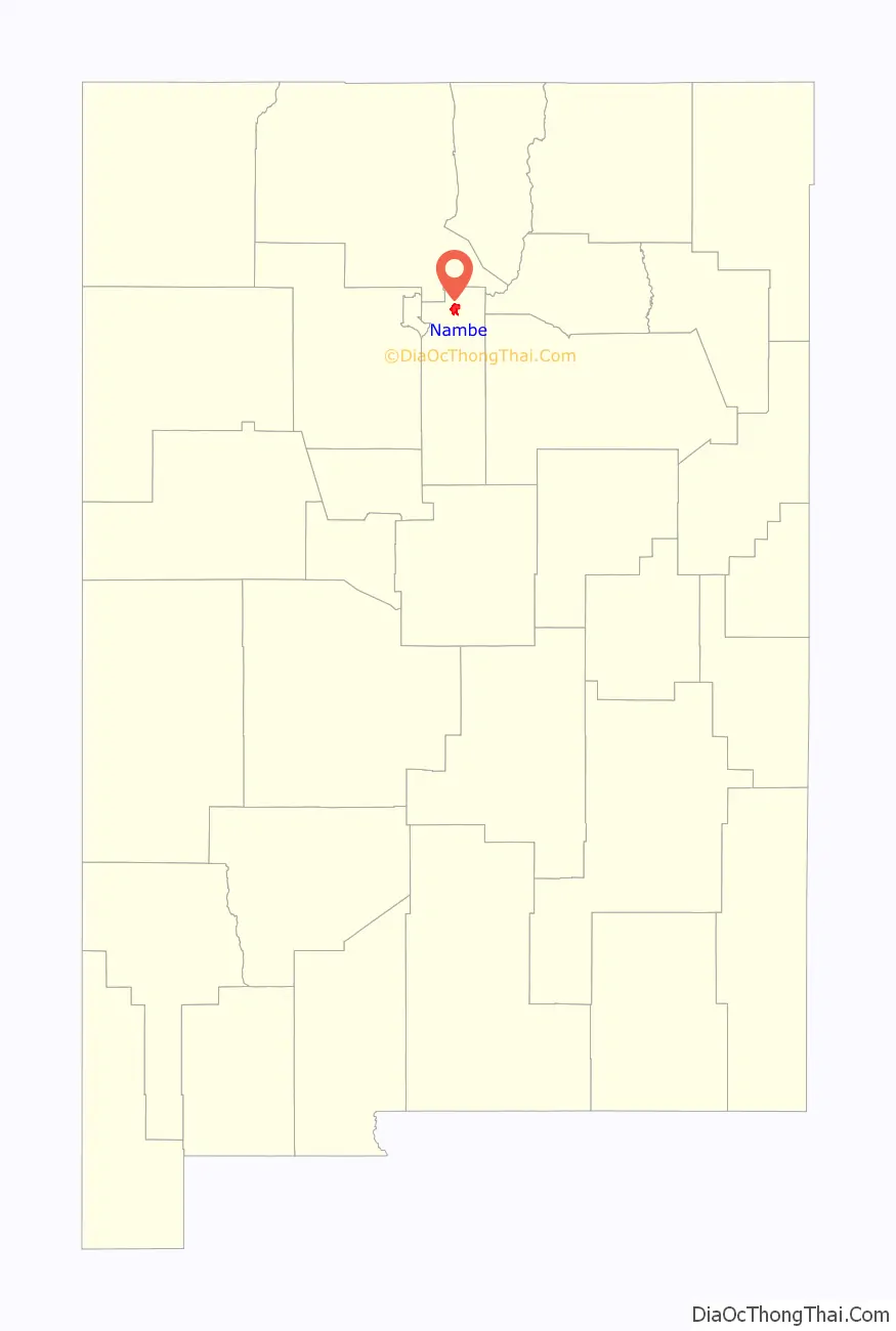
Nambe location map. Where is Nambe CDP?
History
Origin and early history
Scholars believe that all Pueblo peoples are descended from the Ancestral Pueblo people, possibly from the Mogollón, and other ancient peoples. In contemporary times, the people and their archaeological culture were referred to as Anasazi for historical purposes – a Navajo term loosely translated as “Enemy Ancestors” as some Navajo clans are descendants of the Anasazi. Contemporary Puebloans do not want this term to be used. As the Ancestral Puebloans abandoned their canyon homeland due to social upheaval and climate change, they migrated to other areas. Eventually the Nambé emerged as a culture in their new homeland in present-day New Mexico.
European contact
The Spanish conquistador Juan de Oñate arrived with armed forces in the area in 1598. He forced Nambé Pueblo, as was the case with other pueblos, to start paying him taxes with cotton, crops and labor. Catholic missionaries also came into the area, threatening native religious beliefs. They renamed pueblos with saints’ names, and the first church was built in Nambé Pueblo in the early 1600s. The Spanish introduced new foods to the native communities, including peaches, peppers, and wheat. In 1620 a royal decree assigned civil offices to each Pueblo.
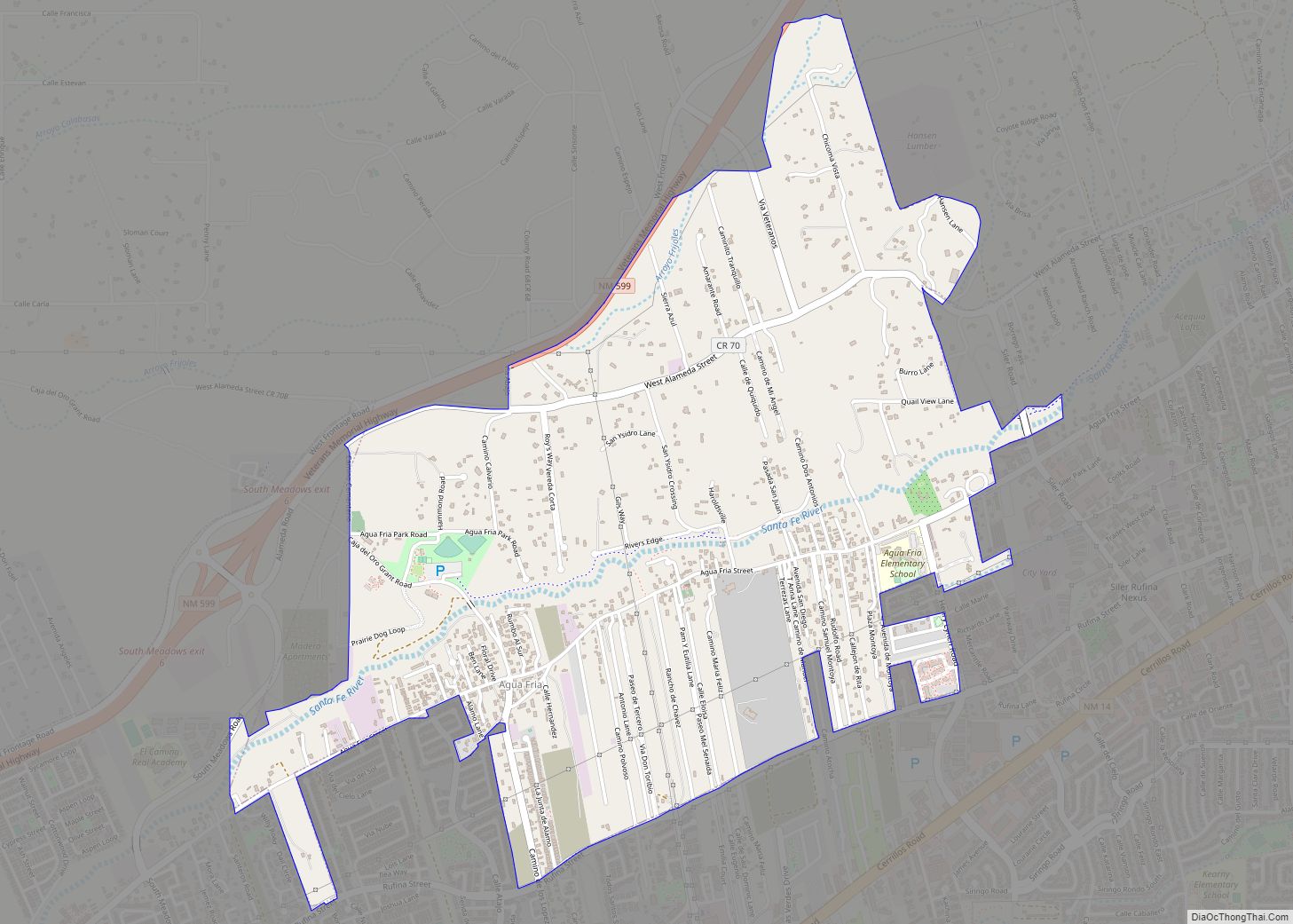
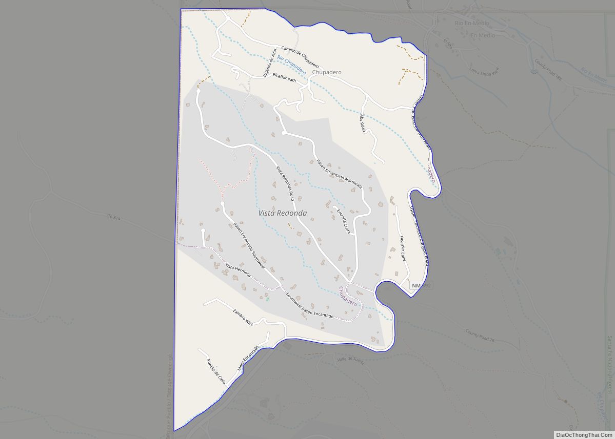
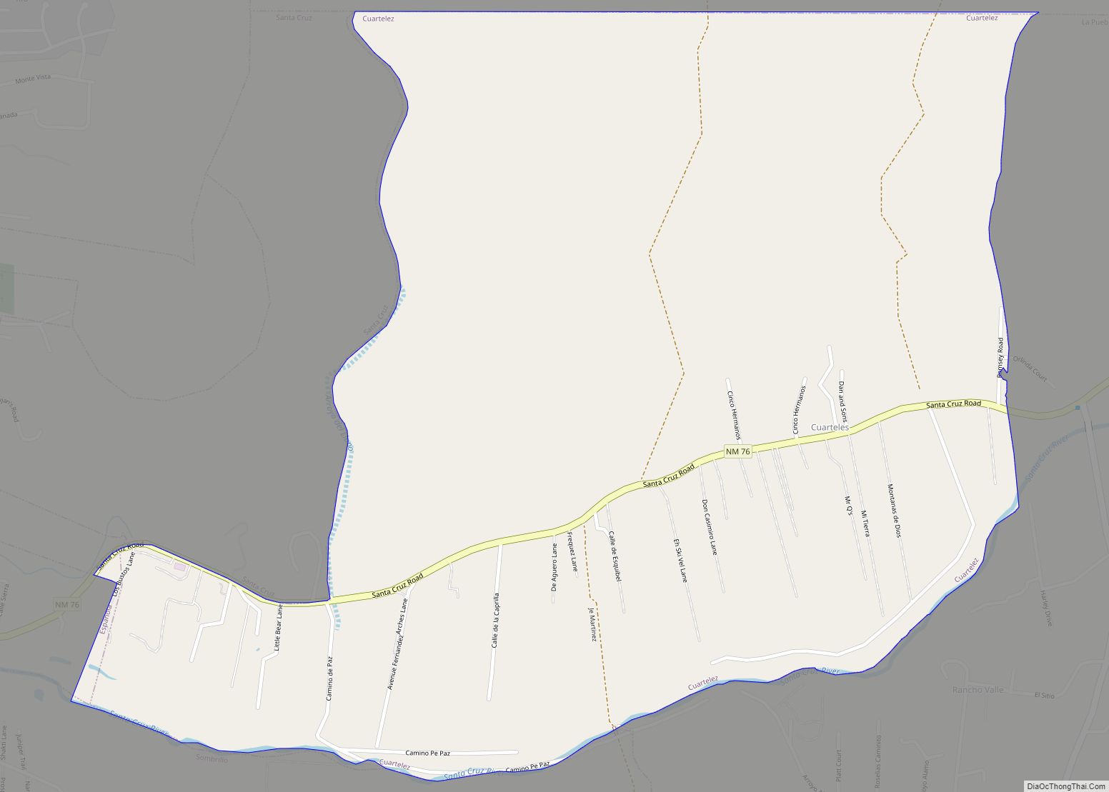
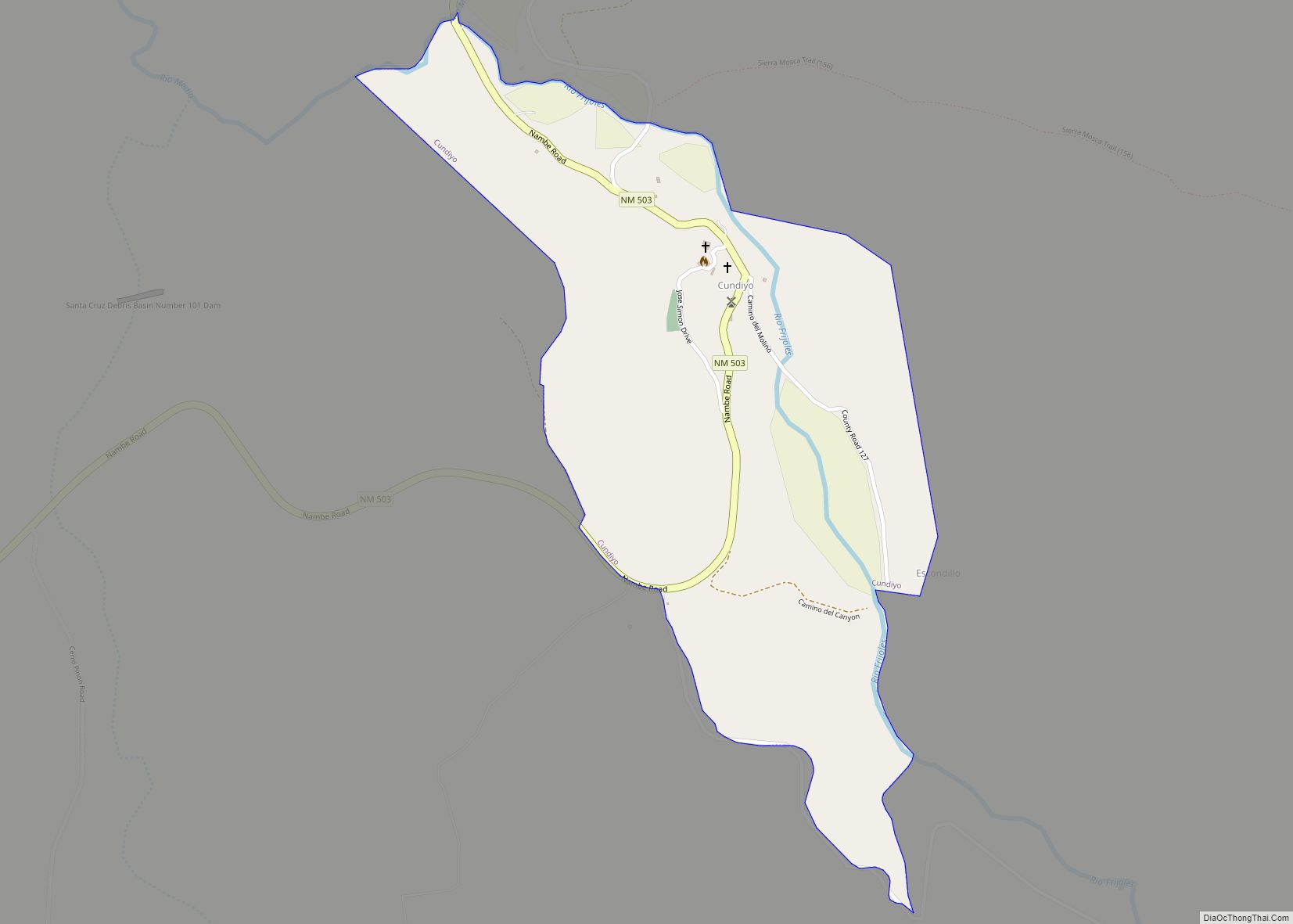
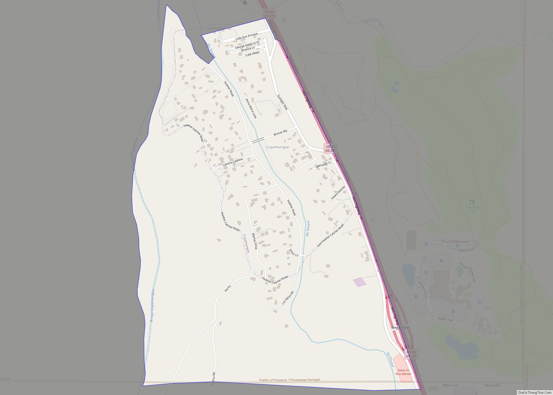
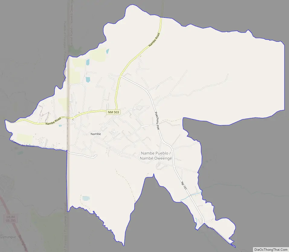
Nambe Road Map
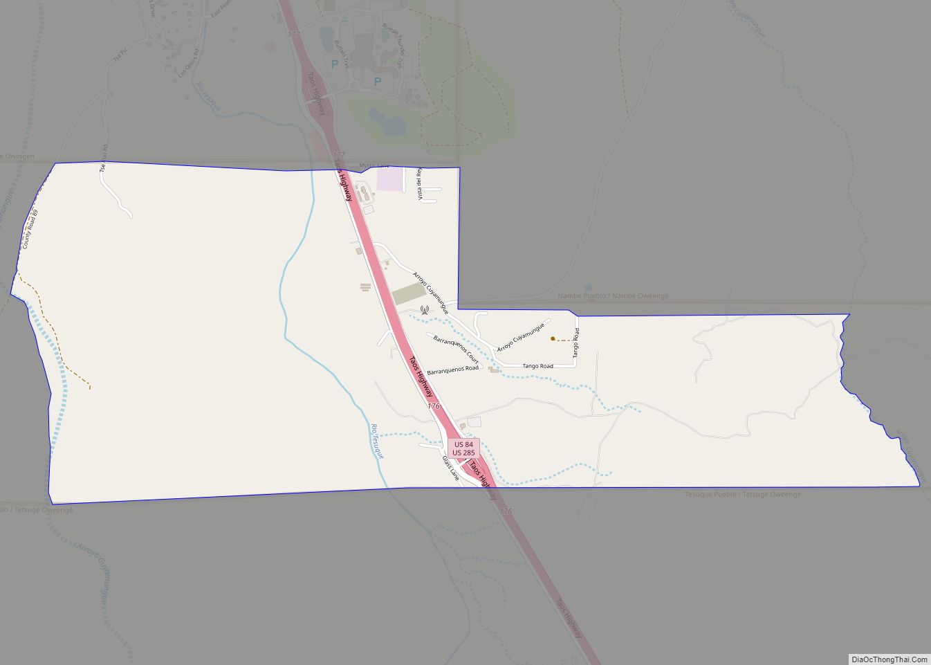
Nambe city Satellite Map

See also
Map of New Mexico State and its subdivision: Map of other states:- Alabama
- Alaska
- Arizona
- Arkansas
- California
- Colorado
- Connecticut
- Delaware
- District of Columbia
- Florida
- Georgia
- Hawaii
- Idaho
- Illinois
- Indiana
- Iowa
- Kansas
- Kentucky
- Louisiana
- Maine
- Maryland
- Massachusetts
- Michigan
- Minnesota
- Mississippi
- Missouri
- Montana
- Nebraska
- Nevada
- New Hampshire
- New Jersey
- New Mexico
- New York
- North Carolina
- North Dakota
- Ohio
- Oklahoma
- Oregon
- Pennsylvania
- Rhode Island
- South Carolina
- South Dakota
- Tennessee
- Texas
- Utah
- Vermont
- Virginia
- Washington
- West Virginia
- Wisconsin
- Wyoming