Naschitti (Navajo: Nahashchʼidí) is a census-designated place (CDP) in San Juan County, New Mexico, United States. The population was 360 at the 2000 census. It is part of the Farmington Metropolitan Statistical Area. The town was established in 1886, when Tom Bryan set up a trading post east of the Chuska Mountains. With a Navajo name, Naschitti means “badger springs.”
| Name: | Naschitti CDP |
|---|---|
| LSAD Code: | 57 |
| LSAD Description: | CDP (suffix) |
| State: | New Mexico |
| County: | San Juan County |
| Elevation: | 5,889 ft (1,795 m) |
| Total Area: | 2.52 sq mi (6.52 km²) |
| Land Area: | 2.51 sq mi (6.49 km²) |
| Water Area: | 0.01 sq mi (0.03 km²) |
| Total Population: | 272 |
| Population Density: | 108.54/sq mi (41.91/km²) |
| Area code: | 505 |
| FIPS code: | 3551280 |
| GNISfeature ID: | 0902313 |
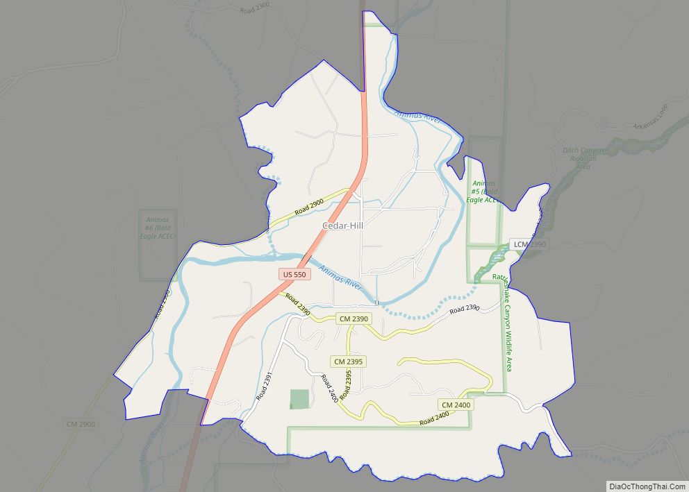
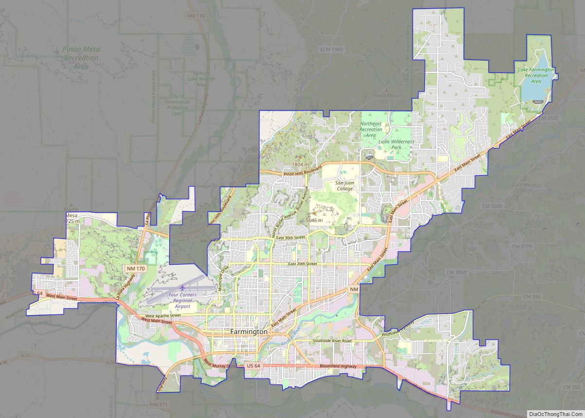
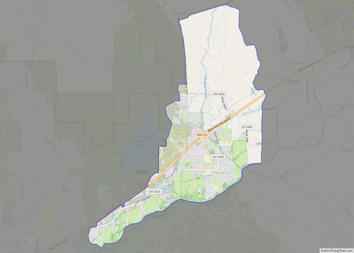
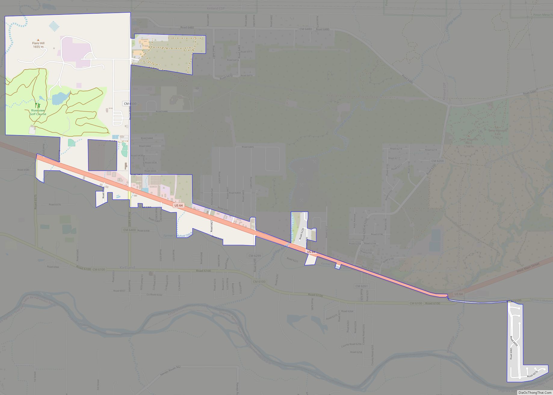
Online Interactive Map
Click on ![]() to view map in "full screen" mode.
to view map in "full screen" mode.
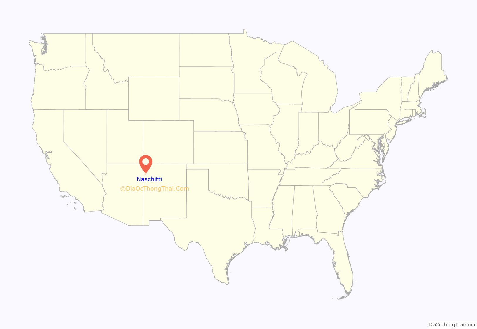
Naschitti location map. Where is Naschitti CDP?
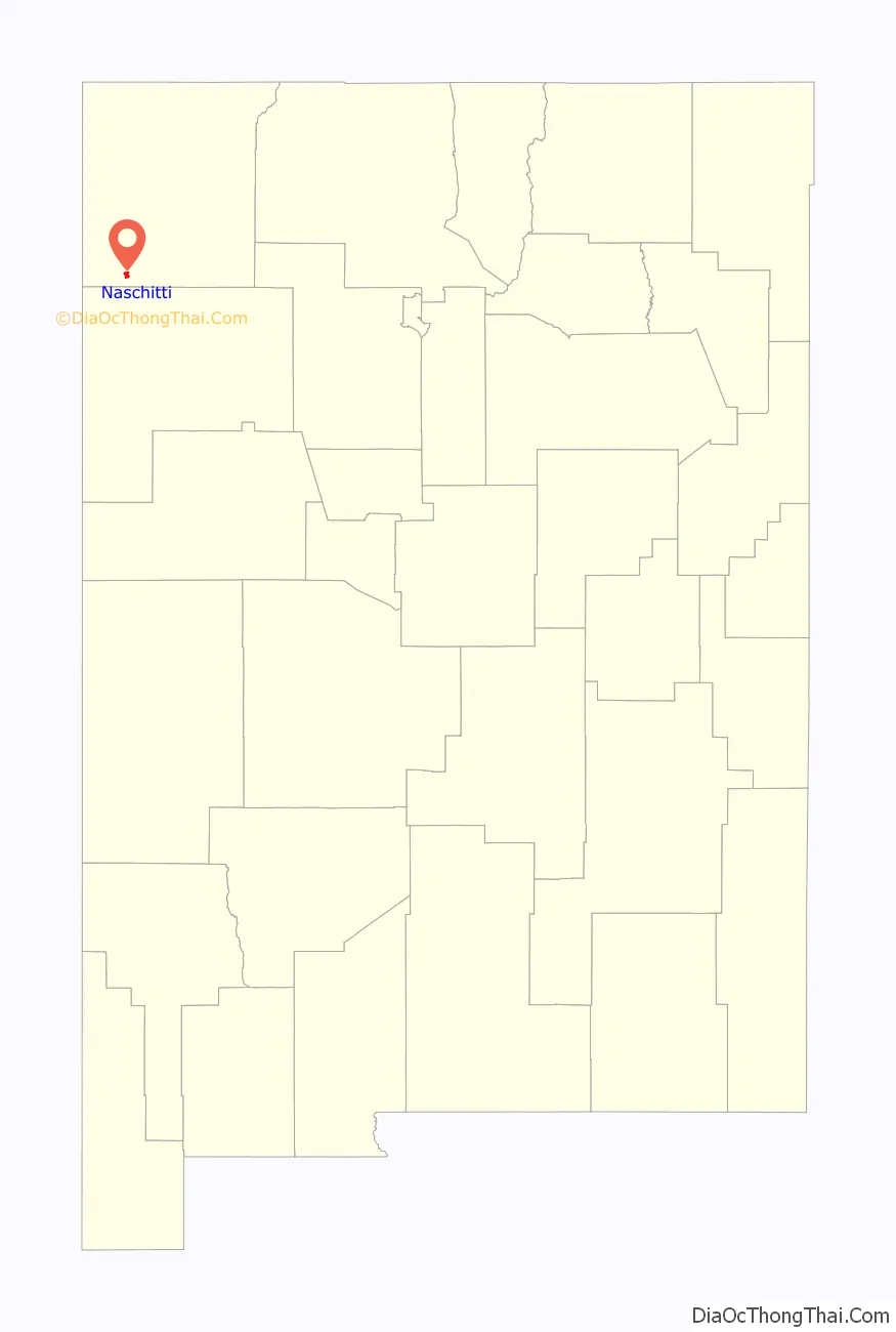
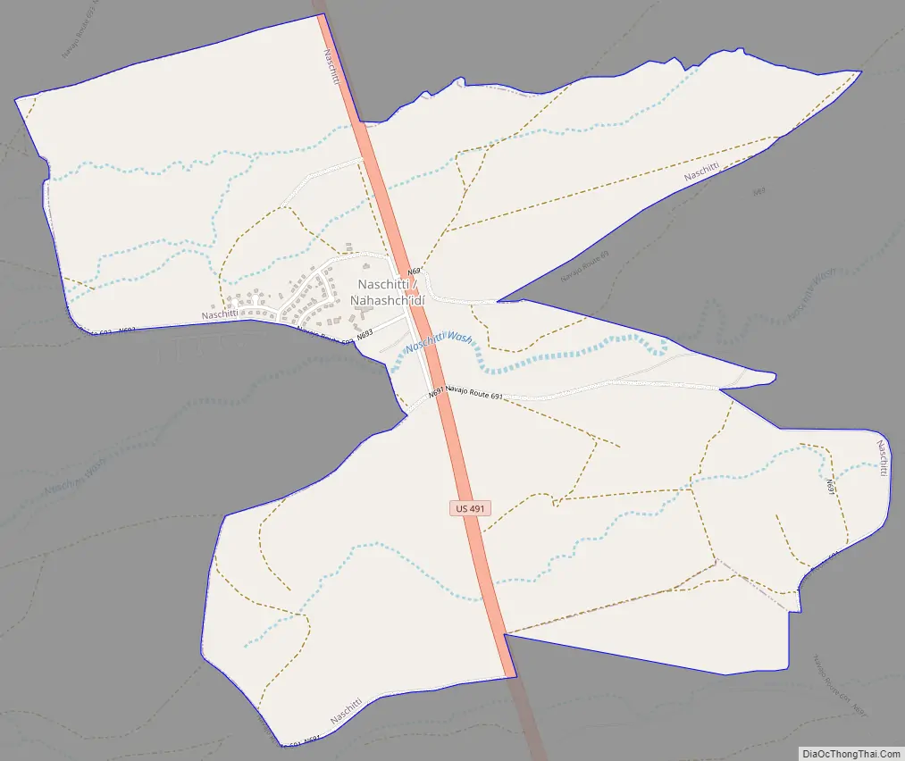
Naschitti Road Map
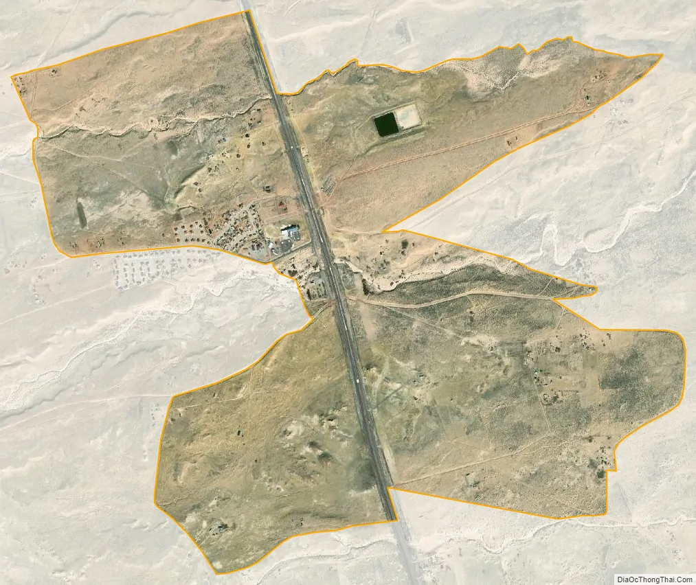
Naschitti city Satellite Map
Geography
Naschitti is located at 36°3′53″N 108°40′57″W / 36.06472°N 108.68250°W / 36.06472; -108.68250 (36.064735, -108.682399).
According to the United States Census Bureau, the CDP has a total area of 2.5 square miles (6.5 km), of which 2.5 square miles (6.5 km) is land and 0.40% is water.
See also
Map of New Mexico State and its subdivision: Map of other states:- Alabama
- Alaska
- Arizona
- Arkansas
- California
- Colorado
- Connecticut
- Delaware
- District of Columbia
- Florida
- Georgia
- Hawaii
- Idaho
- Illinois
- Indiana
- Iowa
- Kansas
- Kentucky
- Louisiana
- Maine
- Maryland
- Massachusetts
- Michigan
- Minnesota
- Mississippi
- Missouri
- Montana
- Nebraska
- Nevada
- New Hampshire
- New Jersey
- New Mexico
- New York
- North Carolina
- North Dakota
- Ohio
- Oklahoma
- Oregon
- Pennsylvania
- Rhode Island
- South Carolina
- South Dakota
- Tennessee
- Texas
- Utah
- Vermont
- Virginia
- Washington
- West Virginia
- Wisconsin
- Wyoming