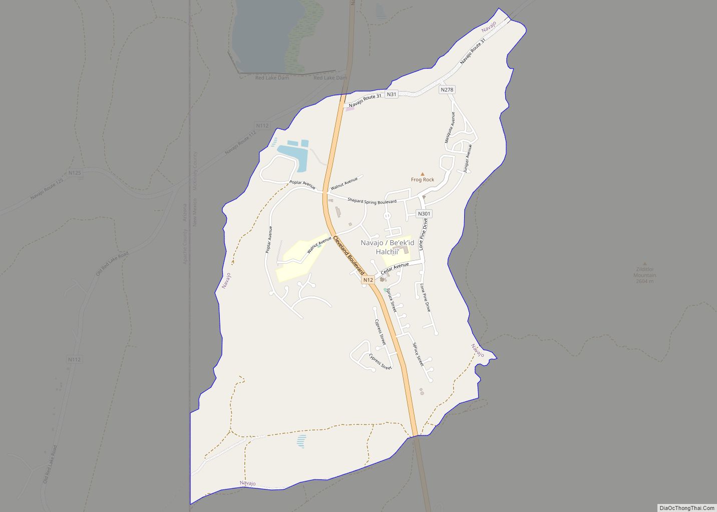
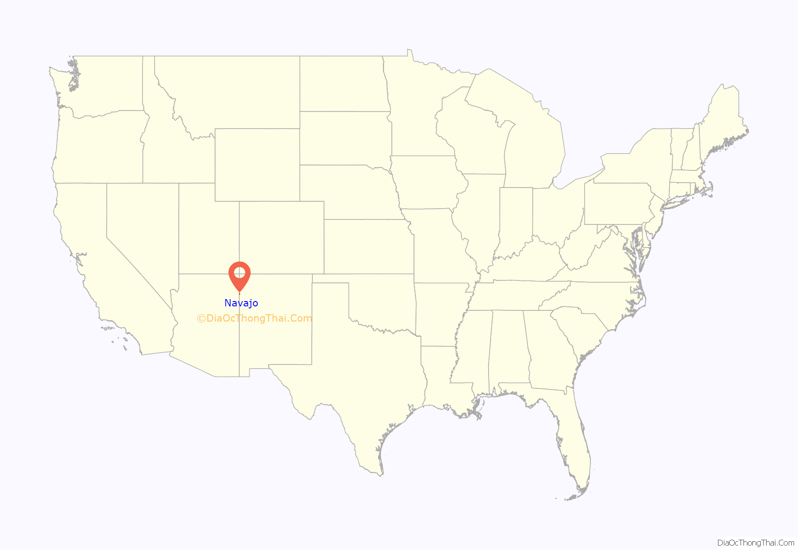
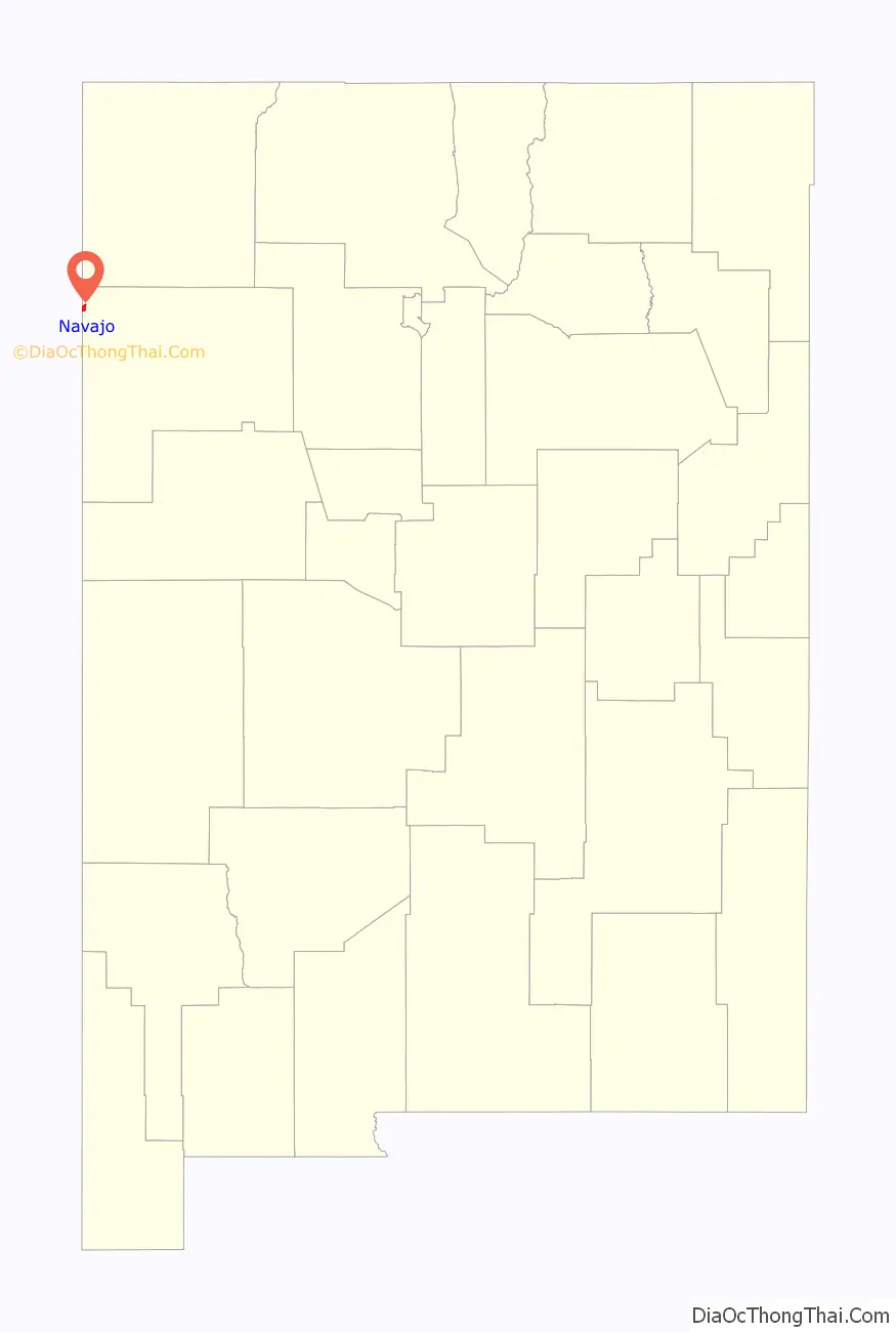
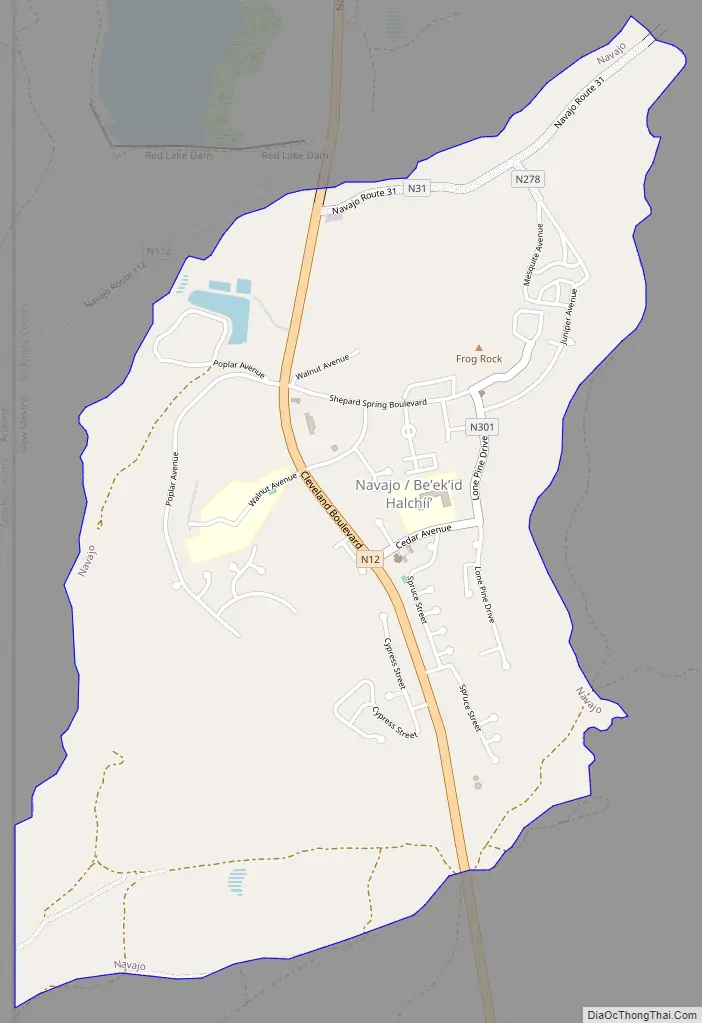
Navajo (Navajo: Niʼiijíhí) is a census-designated place (CDP) on the Navajo Nation in McKinley County, New Mexico, United States. The population was 2,097 at the 2000 census. Navajo is the most Navajo town in the United States, with 95.04% of residents having full or partial Navajo ancestry.
| Name: | Navajo CDP |
|---|---|
| LSAD Code: | 57 |
| LSAD Description: | CDP (suffix) |
| State: | New Mexico |
| County: | McKinley County |
| Elevation: | 7,113 ft (2,168 m) |
| Total Area: | 2.25 sq mi (5.83 km²) |
| Land Area: | 2.25 sq mi (5.83 km²) |
| Water Area: | 0.00 sq mi (0.00 km²) |
| Total Population: | 1,942 |
| Population Density: | 861.96/sq mi (332.82/km²) |
| ZIP code: | 87238 |
| Area code: | 505 |
| FIPS code: | 3551420 |
| GNISfeature ID: | 0933101 |
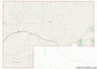
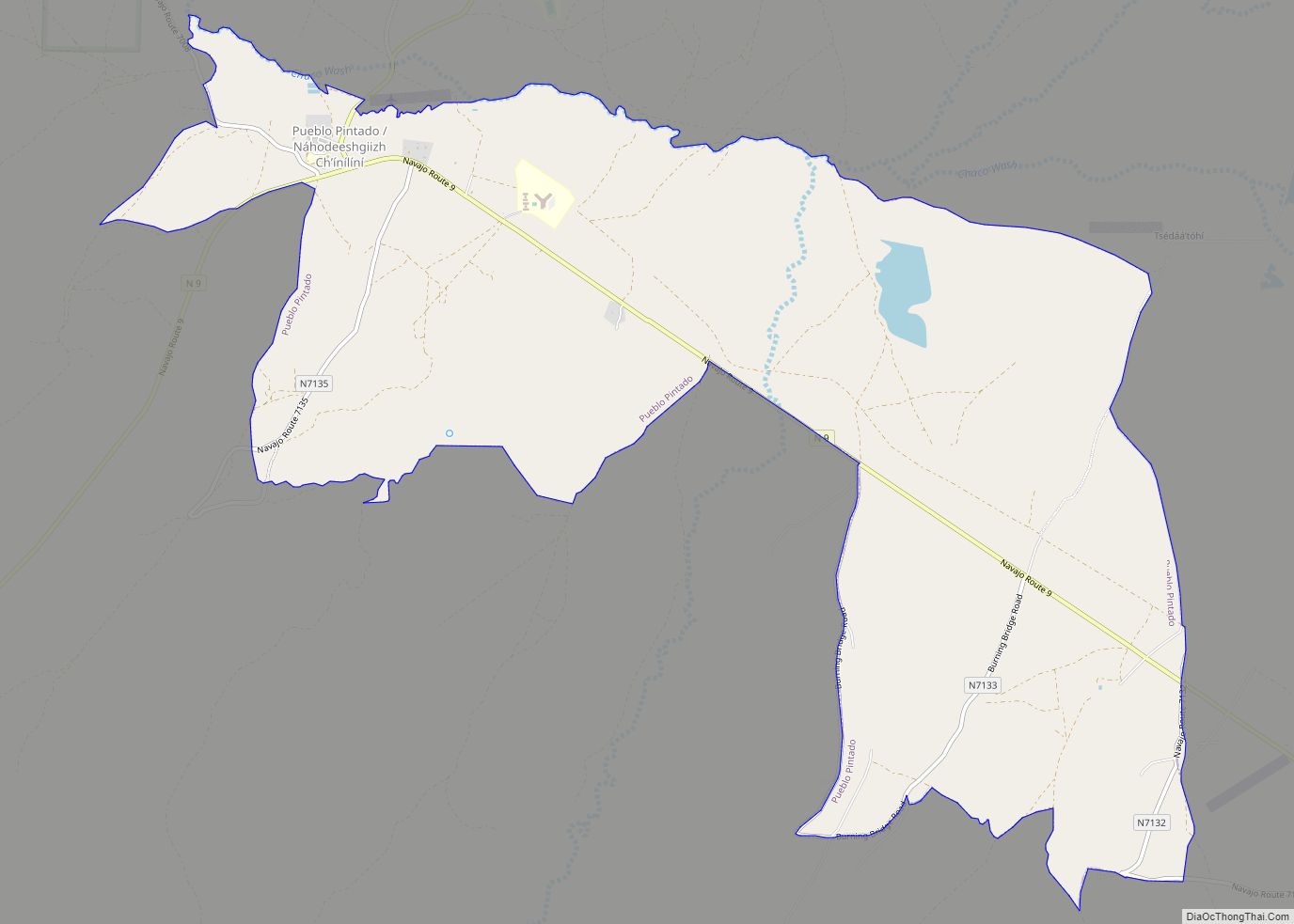
Online Interactive Map
Click on ![]() to view map in "full screen" mode.
to view map in "full screen" mode.
Geography
Navajo is located at 35°54′20″N 109°01′43″W / 35.90556°N 109.02861°W / 35.90556; -109.02861 (35.905617, -109.028733).
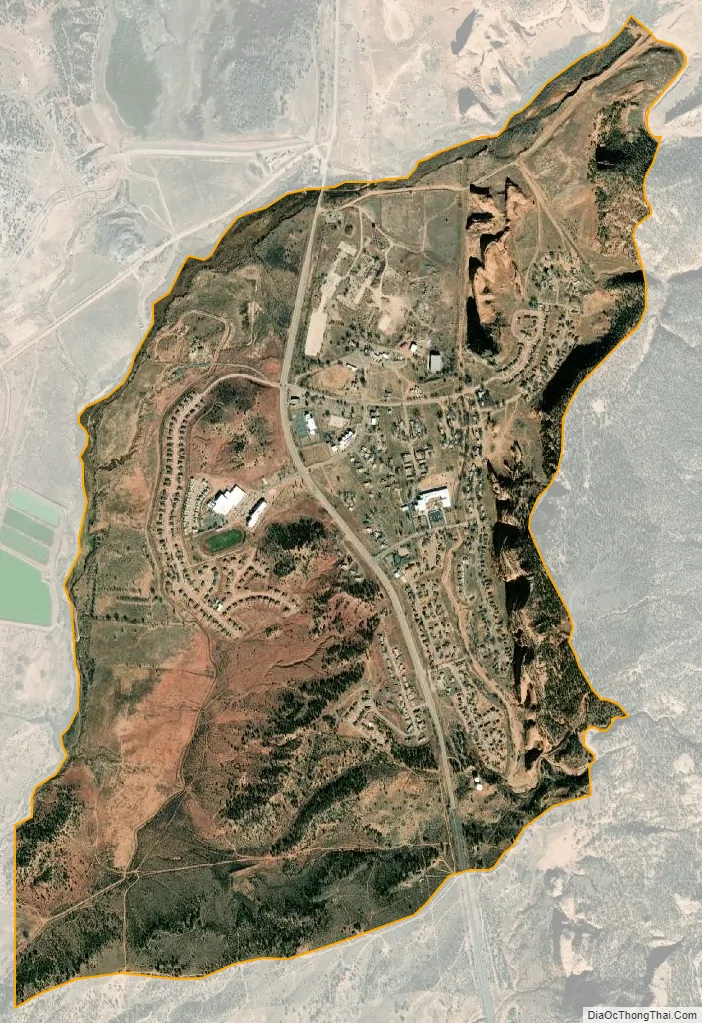
According to the United States Census Bureau, the CDP has a total area of 2.3 square miles (6.0 km), all land.
To the east of Navajo is Assayi Lake, and just north of Navajo is Red Lake, Wheatfields Lake, and Tsaile Lake. There is an old existing strata volcano, Fuzzy Mountain, which in the winter gives radial sources of water to the environment. The area is rich with culture and traditions. Many of the water resources around Navajo leave the evidence of rushing streams and washes. The evergreen trees offer shading to many of the animals in the summer and provide shelter in the winter. Navajo had employed many Navajos at the sawmill, N.F.P.I. (Navajo Forest Products Industry). The mill has since gone out of business and left Navajo to struggle in the economic development. Many of the people left the Navajo area to relocate to places that had jobs readily available. Today the mill stands alone and empty. Still, Navajo exists because of the schools, the hometown market, the gas station, and the homes.
See also
Map of New Mexico State and its subdivision: Map of other states:- Alabama
- Alaska
- Arizona
- Arkansas
- California
- Colorado
- Connecticut
- Delaware
- District of Columbia
- Florida
- Georgia
- Hawaii
- Idaho
- Illinois
- Indiana
- Iowa
- Kansas
- Kentucky
- Louisiana
- Maine
- Maryland
- Massachusetts
- Michigan
- Minnesota
- Mississippi
- Missouri
- Montana
- Nebraska
- Nevada
- New Hampshire
- New Jersey
- New Mexico
- New York
- North Carolina
- North Dakota
- Ohio
- Oklahoma
- Oregon
- Pennsylvania
- Rhode Island
- South Carolina
- South Dakota
- Tennessee
- Texas
- Utah
- Vermont
- Virginia
- Washington
- West Virginia
- Wisconsin
- Wyoming