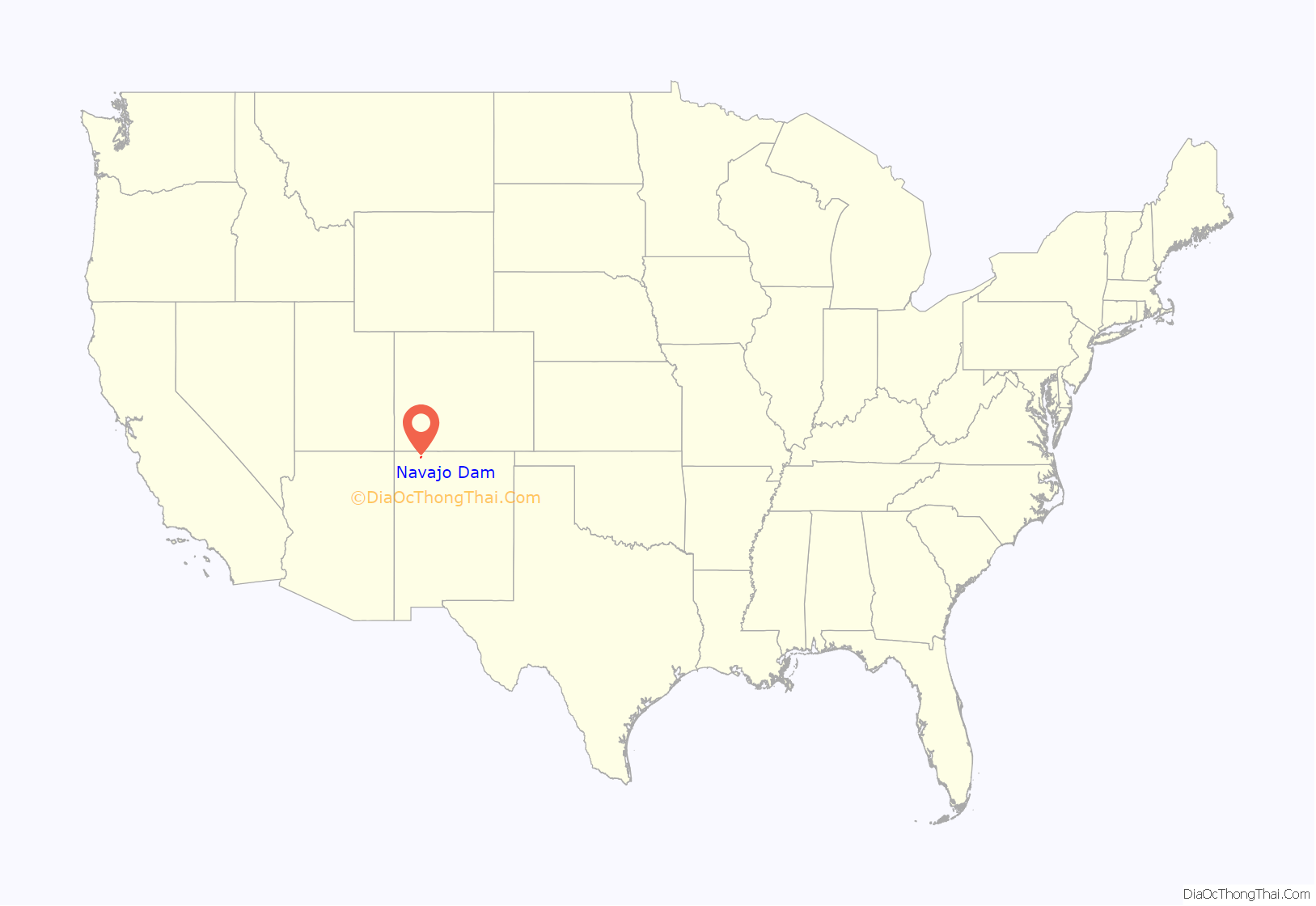
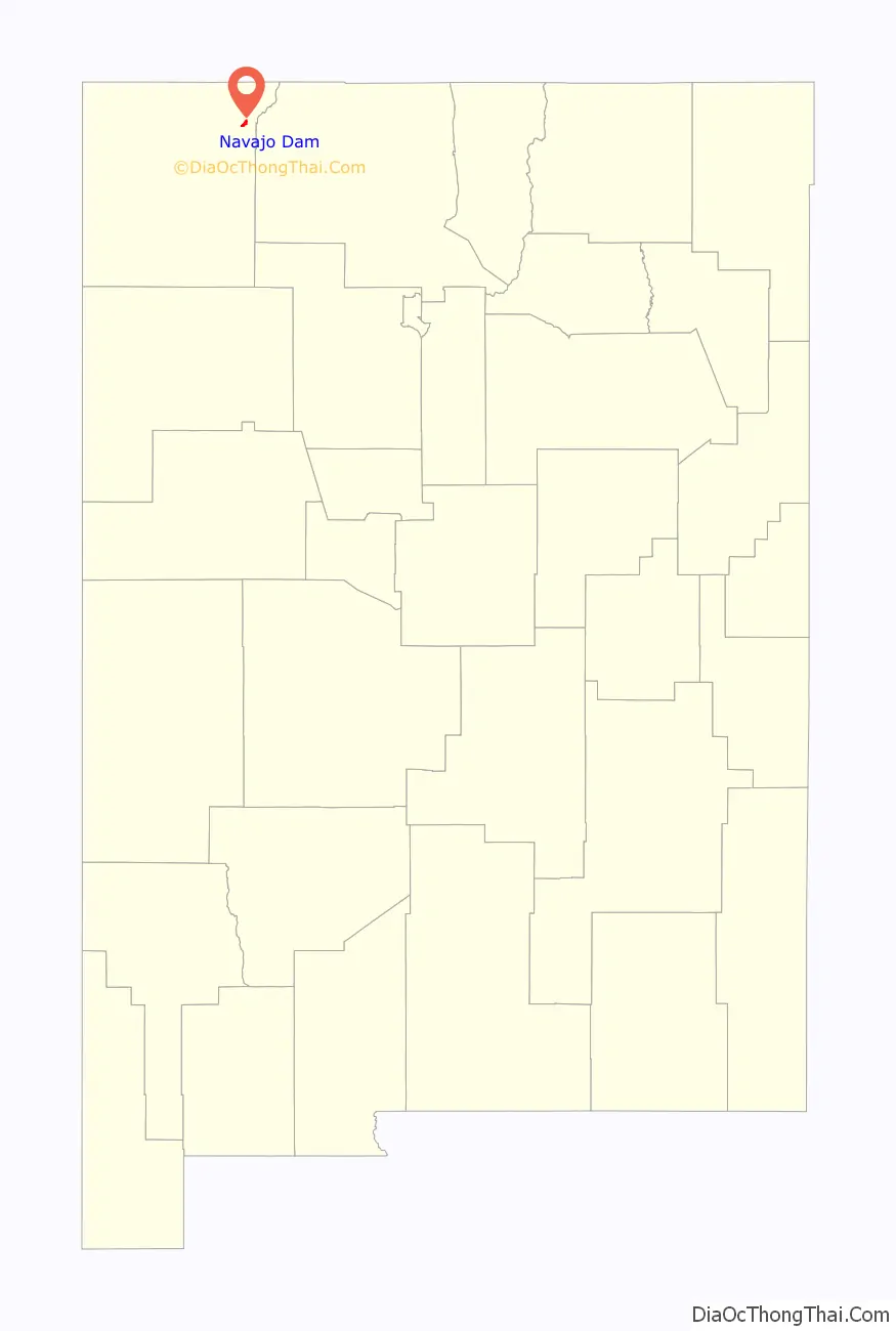
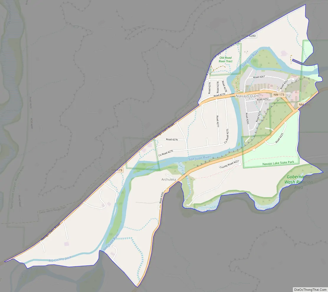
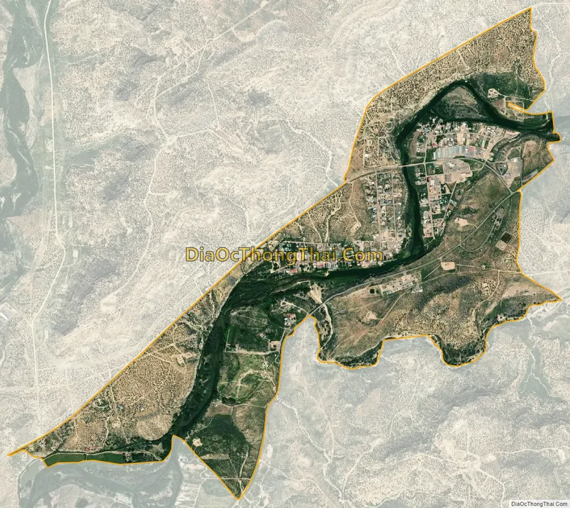
Navajo Dam is a census-designated place in San Juan County, New Mexico, United States. Its population was 253 as of the 2020 census. Navajo Dam has a post office with ZIP code 87419. The community is located in the vicinity of Navajo Dam.
| Name: | Navajo Dam CDP |
|---|---|
| LSAD Code: | 57 |
| LSAD Description: | CDP (suffix) |
| State: | New Mexico |
| County: | San Juan County |
| Elevation: | 5,718 ft (1,743 m) |
| Total Area: | 13.49 sq mi (34.95 km²) |
| Land Area: | 12.07 sq mi (31.26 km²) |
| Water Area: | 1.43 sq mi (3.69 km²) |
| Total Population: | 253 |
| Population Density: | 20.96/sq mi (8.09/km²) |
| ZIP code: | 87419 |
| Area code: | 505 |
| FIPS code: | 3551490 |
| GNISfeature ID: | 938730 |
Online Interactive Map
Click on ![]() to view map in "full screen" mode.
to view map in "full screen" mode.
See also
Map of New Mexico State and its subdivision: Map of other states:- Alabama
- Alaska
- Arizona
- Arkansas
- California
- Colorado
- Connecticut
- Delaware
- District of Columbia
- Florida
- Georgia
- Hawaii
- Idaho
- Illinois
- Indiana
- Iowa
- Kansas
- Kentucky
- Louisiana
- Maine
- Maryland
- Massachusetts
- Michigan
- Minnesota
- Mississippi
- Missouri
- Montana
- Nebraska
- Nevada
- New Hampshire
- New Jersey
- New Mexico
- New York
- North Carolina
- North Dakota
- Ohio
- Oklahoma
- Oregon
- Pennsylvania
- Rhode Island
- South Carolina
- South Dakota
- Tennessee
- Texas
- Utah
- Vermont
- Virginia
- Washington
- West Virginia
- Wisconsin
- Wyoming