Newcomb (Navajo: Bis Deezʼáhí) is a census-designated place (CDP) in San Juan County, New Mexico, United States. The population was 387 at the 2000 census. It is part of the Farmington Metropolitan Statistical Area.
It is on the Trails of the Ancients Byway, one of the designated New Mexico Scenic Byways. Newcomb was founded in 1887 when Joseph Wilkin and Henry Noel set up a trading post. It was known as Crozier from 1903 to 1919.
| Name: | Newcomb CDP |
|---|---|
| LSAD Code: | 57 |
| LSAD Description: | CDP (suffix) |
| State: | New Mexico |
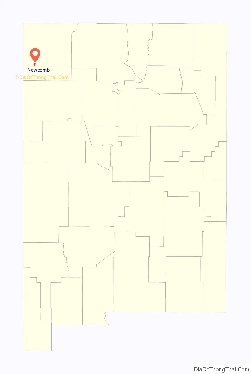
| County: | San Juan County |
| Elevation: | 5,554 ft (1,693 m) |
| Total Area: | 9.68 sq mi (25.07 km²) |
| Land Area: | 9.68 sq mi (25.07 km²) |
| Water Area: | 0.00 sq mi (0.00 km²) |
| Total Population: | 494 |
| Population Density: | 51.04/sq mi (19.71/km²) |
| ZIP code: | 87455 |
| Area code: | 505 |
| FIPS code: | 3551770 |
| GNISfeature ID: | 0902319 |
Online Interactive Map
Click on ![]() to view map in "full screen" mode.
to view map in "full screen" mode.
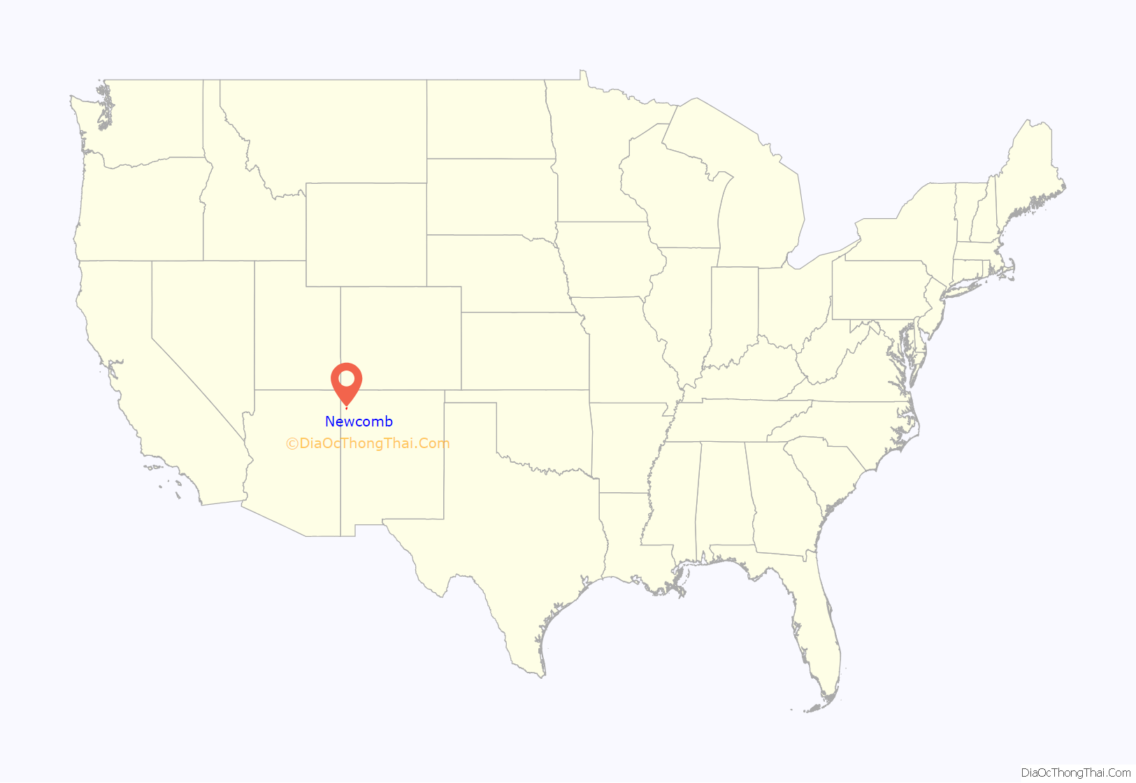
Newcomb location map. Where is Newcomb CDP?
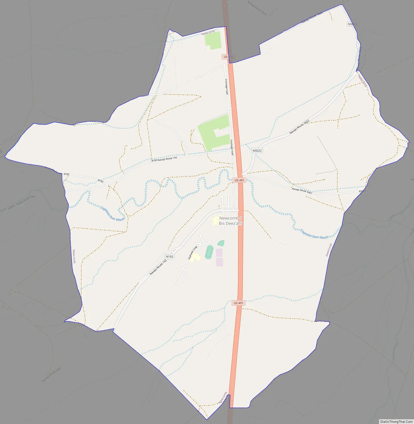
Newcomb Road Map
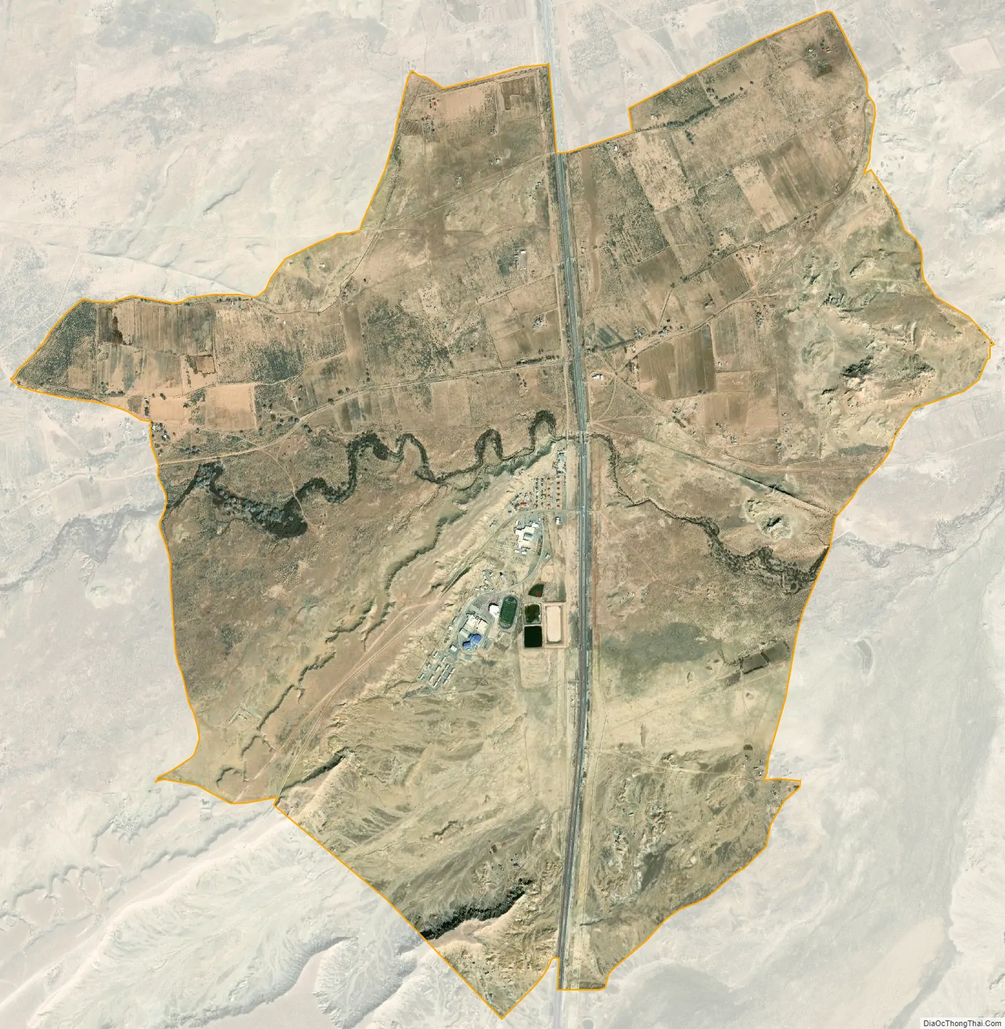
Newcomb city Satellite Map
Geography
Newcomb is located at 36°17′1″N 108°42′25″W / 36.28361°N 108.70694°W / 36.28361; -108.70694 (36.283646, -108.706807).
According to the United States Census Bureau, the CDP has a total area of 5.9 square miles (15 km), all land.
See also
Map of New Mexico State and its subdivision: Map of other states:- Alabama
- Alaska
- Arizona
- Arkansas
- California
- Colorado
- Connecticut
- Delaware
- District of Columbia
- Florida
- Georgia
- Hawaii
- Idaho
- Illinois
- Indiana
- Iowa
- Kansas
- Kentucky
- Louisiana
- Maine
- Maryland
- Massachusetts
- Michigan
- Minnesota
- Mississippi
- Missouri
- Montana
- Nebraska
- Nevada
- New Hampshire
- New Jersey
- New Mexico
- New York
- North Carolina
- North Dakota
- Ohio
- Oklahoma
- Oregon
- Pennsylvania
- Rhode Island
- South Carolina
- South Dakota
- Tennessee
- Texas
- Utah
- Vermont
- Virginia
- Washington
- West Virginia
- Wisconsin
- Wyoming