Ohkay Owingeh (Tewa: Ohkwee Ówîngeh [ʔòhkèː ʔówĩ̂ŋgè]), known by its Spanish name as San Juan de los Caballeros from 1589 to 2005, is a pueblo and census-designated place (CDP) in Rio Arriba County, New Mexico. Ohkay Owingeh is also a federally recognized tribe of Pueblo people inhabiting the town.
| Name: | Ohkay Owingeh CDP |
|---|---|
| LSAD Code: | 57 |
| LSAD Description: | CDP (suffix) |
| State: | New Mexico |
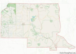
| County: | Rio Arriba County |
| FIPS code: | 3553150 |
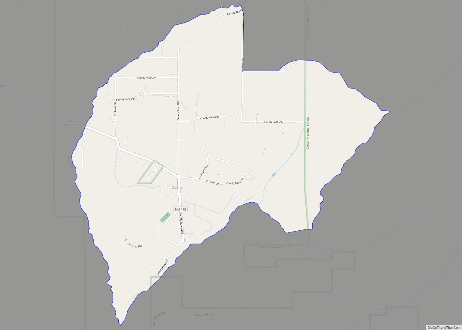
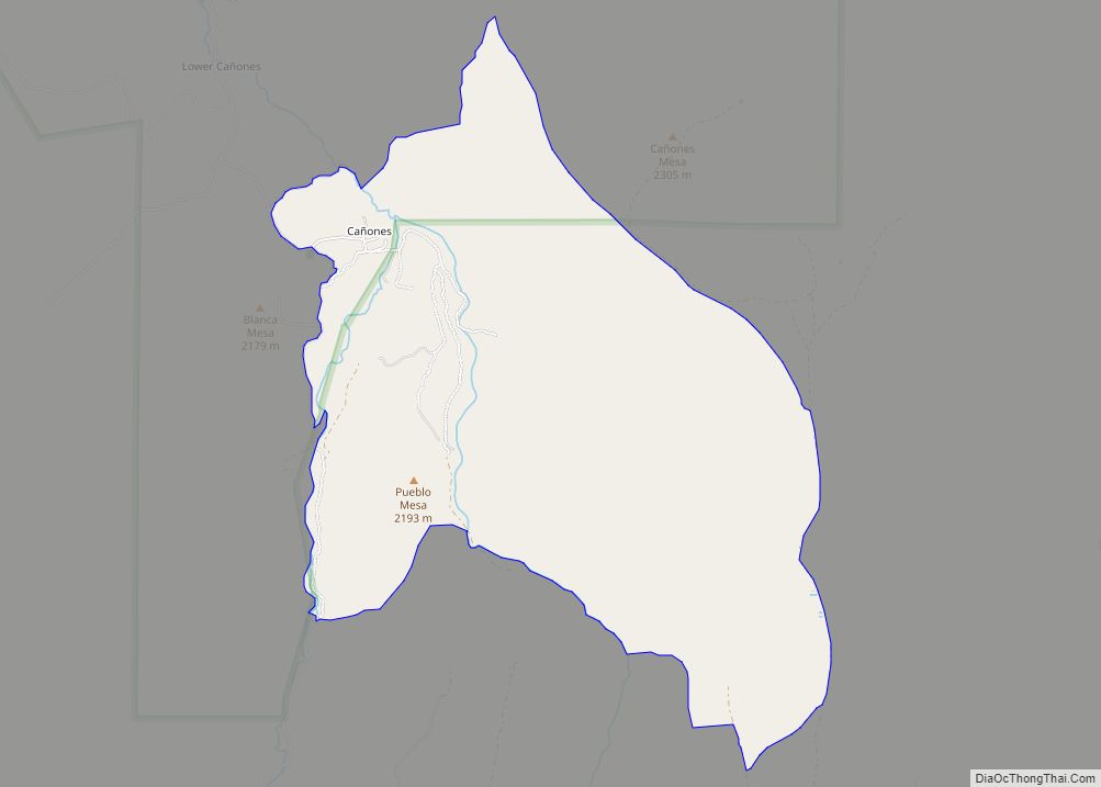
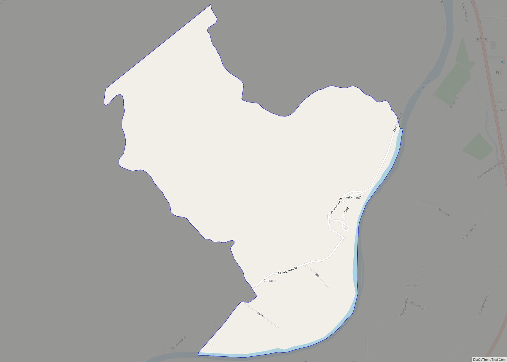
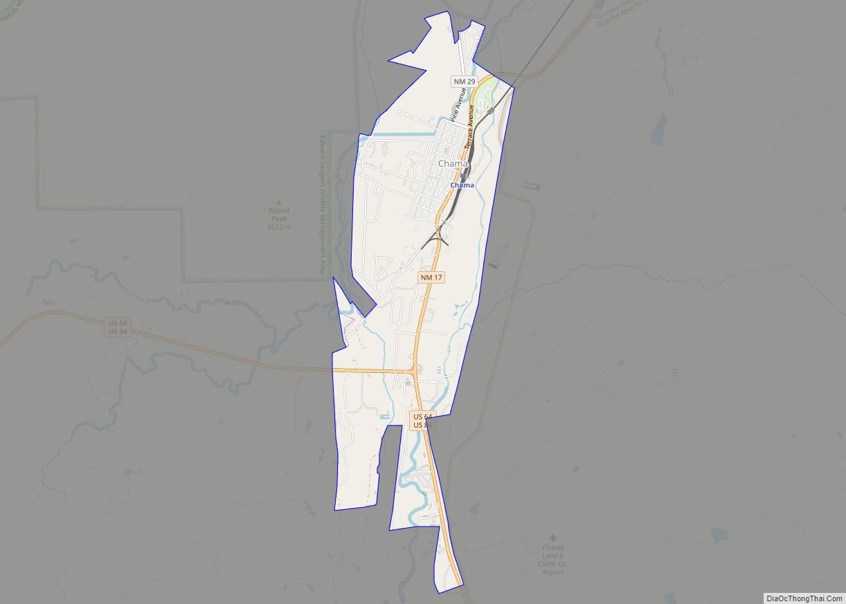
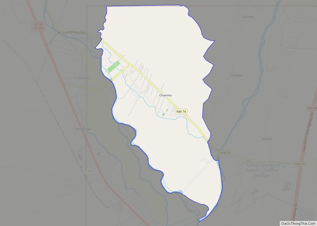
Online Interactive Map
Click on ![]() to view map in "full screen" mode.
to view map in "full screen" mode.
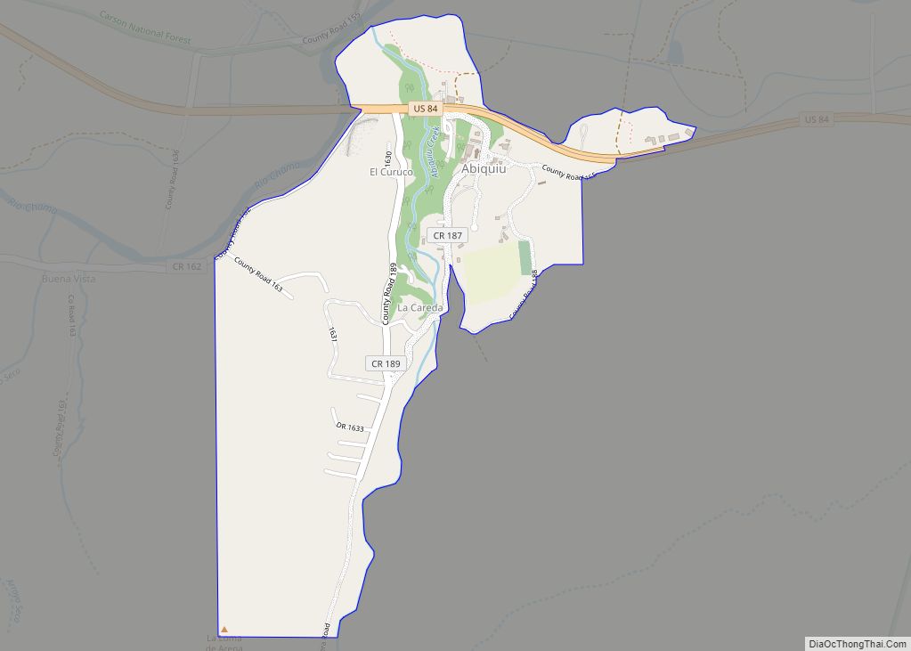
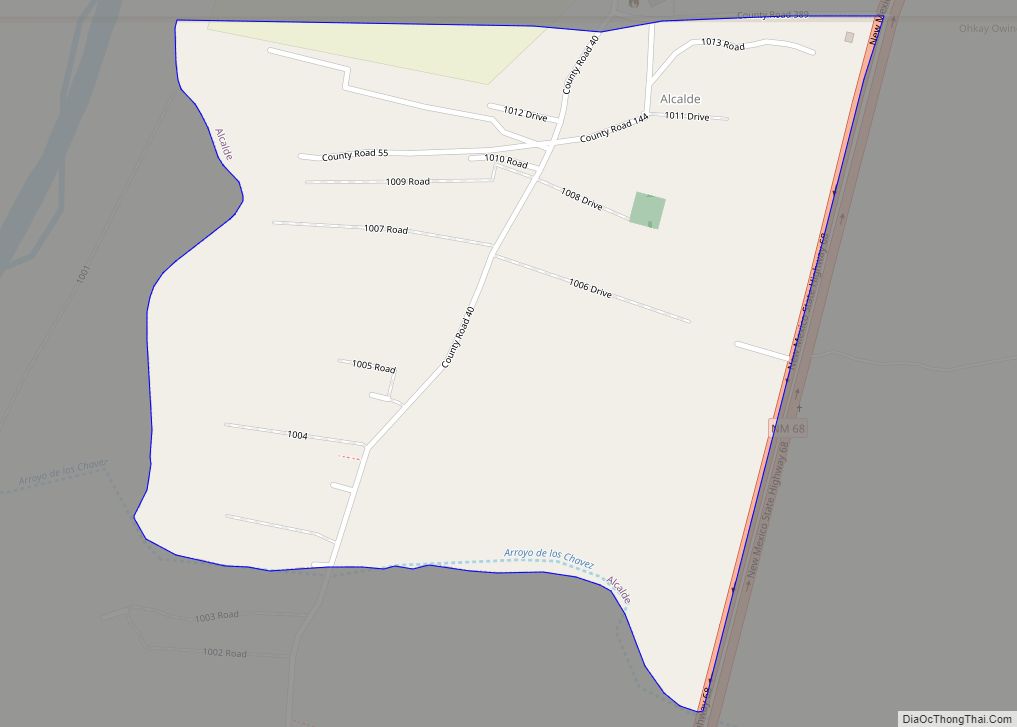
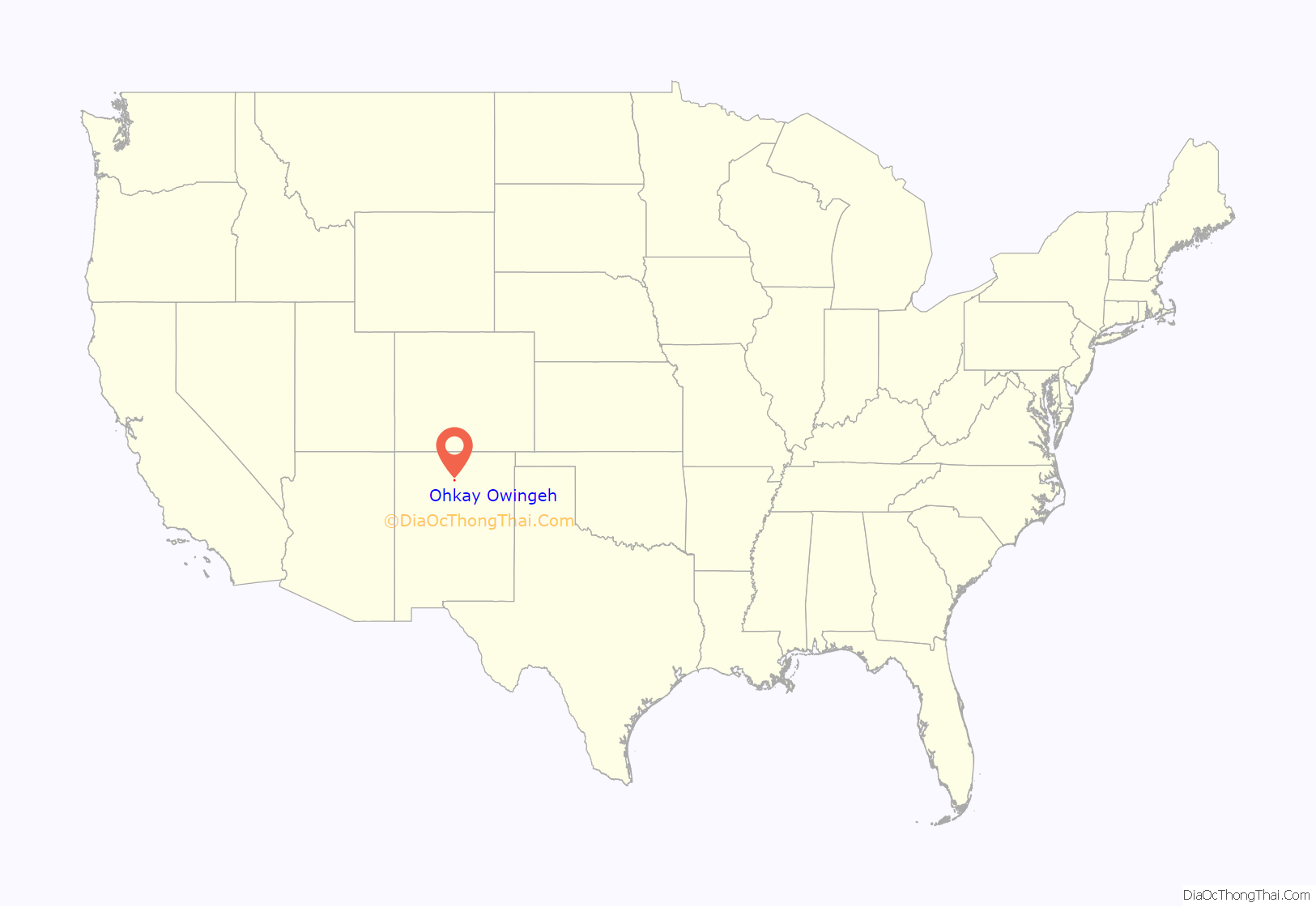
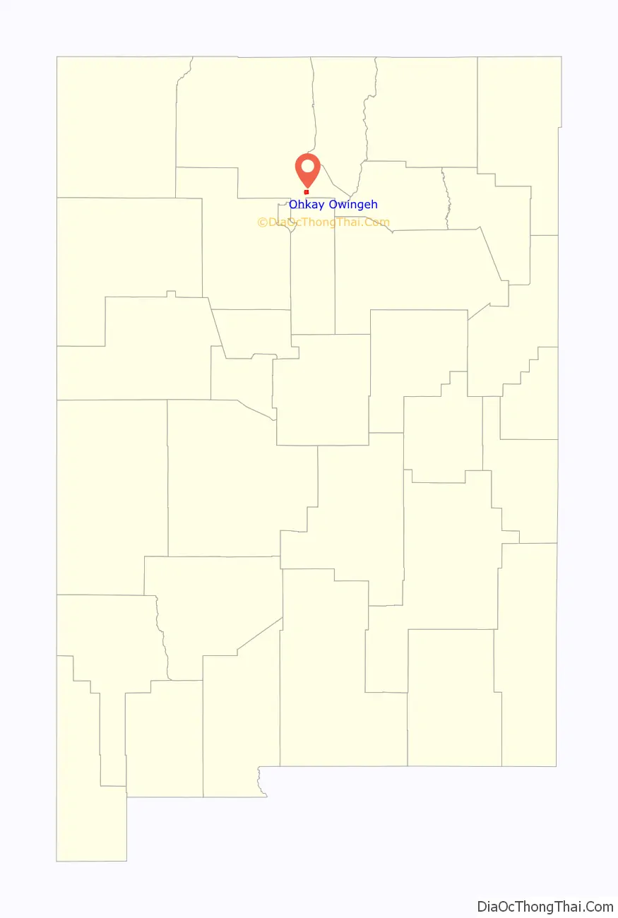
Ohkay Owingeh location map. Where is Ohkay Owingeh CDP?
History
The pueblo was founded around 1200 AD during the Pueblo III Era. By tradition, the Tewa people moved here from the north, perhaps from the San Luis Valley of southern Colorado, part of a great migration spanning into the Pueblo IV Era.
Spanish colonial capital
In March 1598, conquistador Oñate traveled from north central Mexico, accompanied by a caravan of Catholic missionaries, a thousand soldiers, colonists, and Tlaxcalan Mexican Indians. The expedition included cattle, sheep, goats, oxen, and horses, and arrived at Yungeh—place of the mockingbird—in present-day Ohkay Owingeh on July 11, 1598.
The people who met him that day, it is written, were hospitable and offered Yuque Yunque pueblo as guest quarters to Oñate and his party. On July 12, 1598, he baptized and renamed Caypa pueblo (present-day Ohkay Owingeh) San Juan de los Caballeros, after his patron saint John the Baptist. San Juan de los Caballeros became the first capital of the New Spain colony of Santa Fe de Nuevo Méjico. In local history, it is said the event united the two fragmented families of Caypa and Yuque Yunque. Since their arrival from earlier homelands in the northwest, the two pueblos had been divided by the river, split until the expedition party’s arrival. When the community offered Yuque Yunque pueblo on the west bank to Oñate, the two fragmented pueblos were made whole again at Caypa. The Spanish capital would be moved in 1610 to La Villa Real de la Santa Fe de San Francisco de Asís.
Popé was a local man who rose to be one of the most regarded leaders of American Indian history. He would play a major role in the Pueblo revolt in 1680.
Modern era
Ohkay Owingeh is the headquarters of the Eight Northern Indian Pueblos Council, and the pueblo people are from the Tewa ethnic group of American Indians. It is one of the largest Tewa-speaking pueblos.
The annual Pueblo Feast Day is June 24. For all pueblos, the actual feast day includes a Catholic mass that is held in the morning. Because of historical relations with the Catholic Church, all pueblos have a church located near the center of the village. Most Pueblo people practice aspects of both the Catholic religion and Pueblo belief systems. The tribe owns the Ohkay Casino and the Oke-Oweenge Crafts Cooperative, which showcases redware pottery, weaving, painting, and other artwork from the eight northern pueblos.
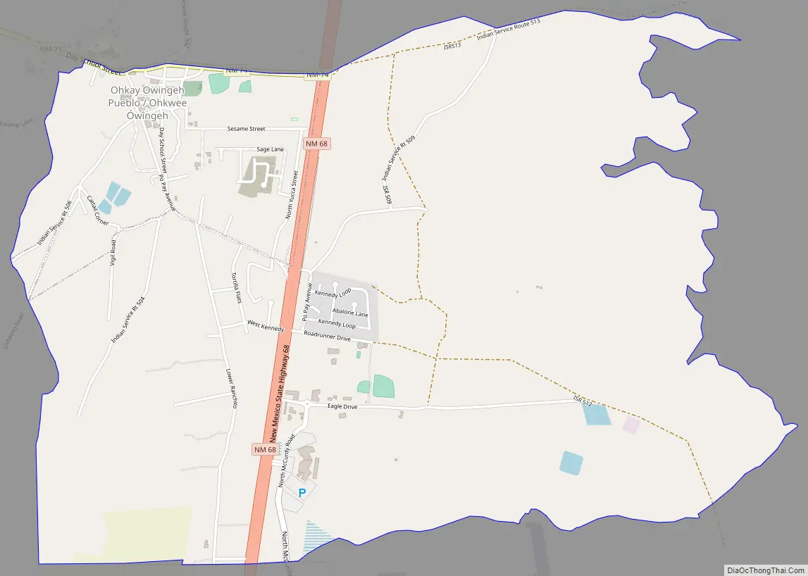
Ohkay Owingeh Road Map
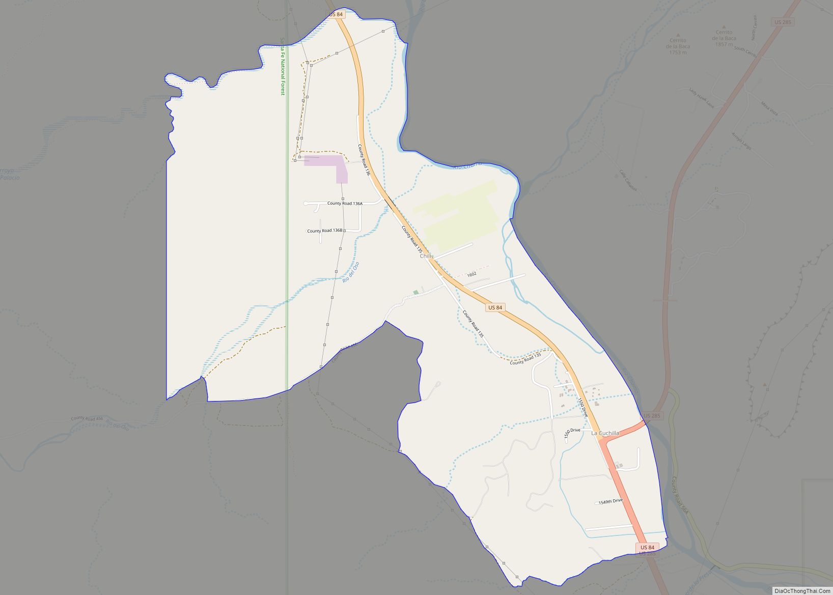
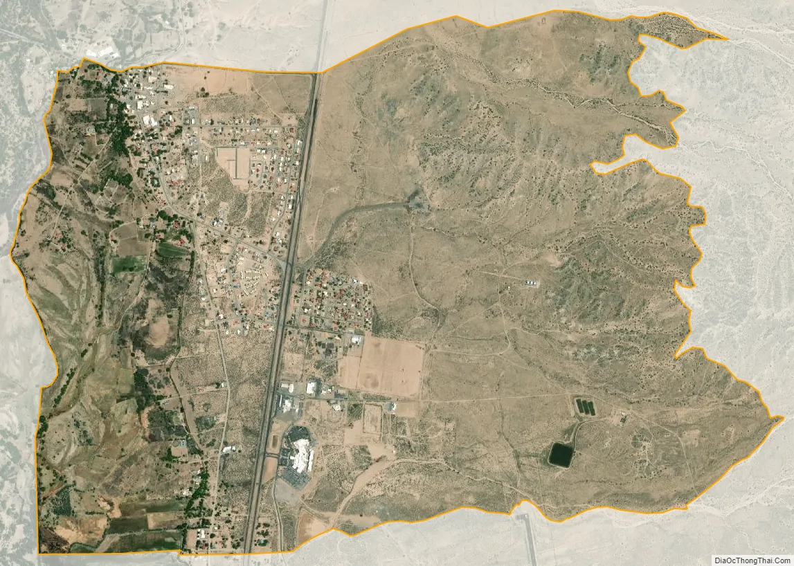
Ohkay Owingeh city Satellite Map
Geography
Its elevation is 5,663 feet (1,726 m) and it is located at 36°03′12″N 106°04′08″W / 36.05333°N 106.06889°W / 36.05333; -106.06889. One of its boundaries is contiguous with Española, about 25 miles (40 km) north of Santa Fe.
See also
Map of New Mexico State and its subdivision: Map of other states:- Alabama
- Alaska
- Arizona
- Arkansas
- California
- Colorado
- Connecticut
- Delaware
- District of Columbia
- Florida
- Georgia
- Hawaii
- Idaho
- Illinois
- Indiana
- Iowa
- Kansas
- Kentucky
- Louisiana
- Maine
- Maryland
- Massachusetts
- Michigan
- Minnesota
- Mississippi
- Missouri
- Montana
- Nebraska
- Nevada
- New Hampshire
- New Jersey
- New Mexico
- New York
- North Carolina
- North Dakota
- Ohio
- Oklahoma
- Oregon
- Pennsylvania
- Rhode Island
- South Carolina
- South Dakota
- Tennessee
- Texas
- Utah
- Vermont
- Virginia
- Washington
- West Virginia
- Wisconsin
- Wyoming