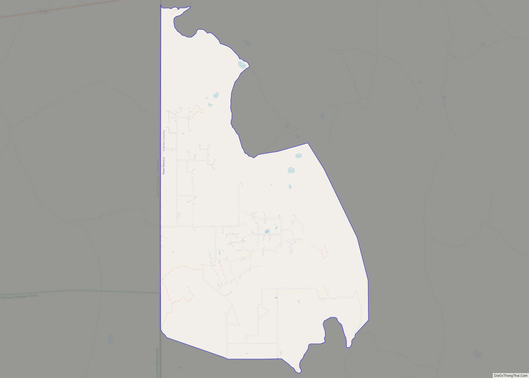
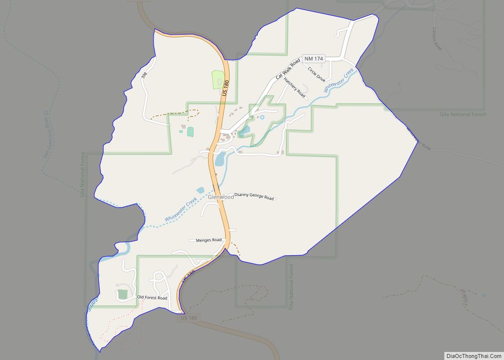
Pie Town is an unincorporated community and census-designated place located along U.S. Highway 60 in Catron County, New Mexico, United States. As of the 2010 census, it had a population of 186. Pie Town’s name comes from an early bakery that specialized in dried-apple pies; it was established by Clyde Norman in the early 1920s. Pie Town has been noted for its colorful place name. Pie Town is the location of a “Pie Festival” on the second Saturday of each September. Pie Town is located immediately north of the Gila National Forest and not very far west of the Plains of San Agustin, the location of the Very Large Array radio telescope, which is also located along U.S. 60. In addition, one of the ten large radio antennas that form the Very Long Baseline Array of the National Radio Astronomy Observatory can be seen from U.S. 60, just east of Pie Town.
| Name: | Pie Town CDP |
|---|---|
| LSAD Code: | 57 |
| LSAD Description: | CDP (suffix) |
| State: | New Mexico |
| County: | Catron County |
| Elevation: | 7,778 ft (2,371 m) |
| Total Area: | 57.3 sq mi (148.4 km²) |
| Land Area: | 57.3 sq mi (148.3 km²) |
| Water Area: | 0.04 sq mi (0.1 km²) |
| Total Population: | 111 |
| Population Density: | 3/sq mi (1.3/km²) |
| ZIP code: | 87827 |
| Area code: | 575 |
| FIPS code: | 3556950 |
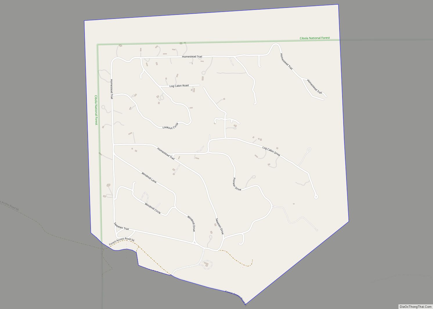
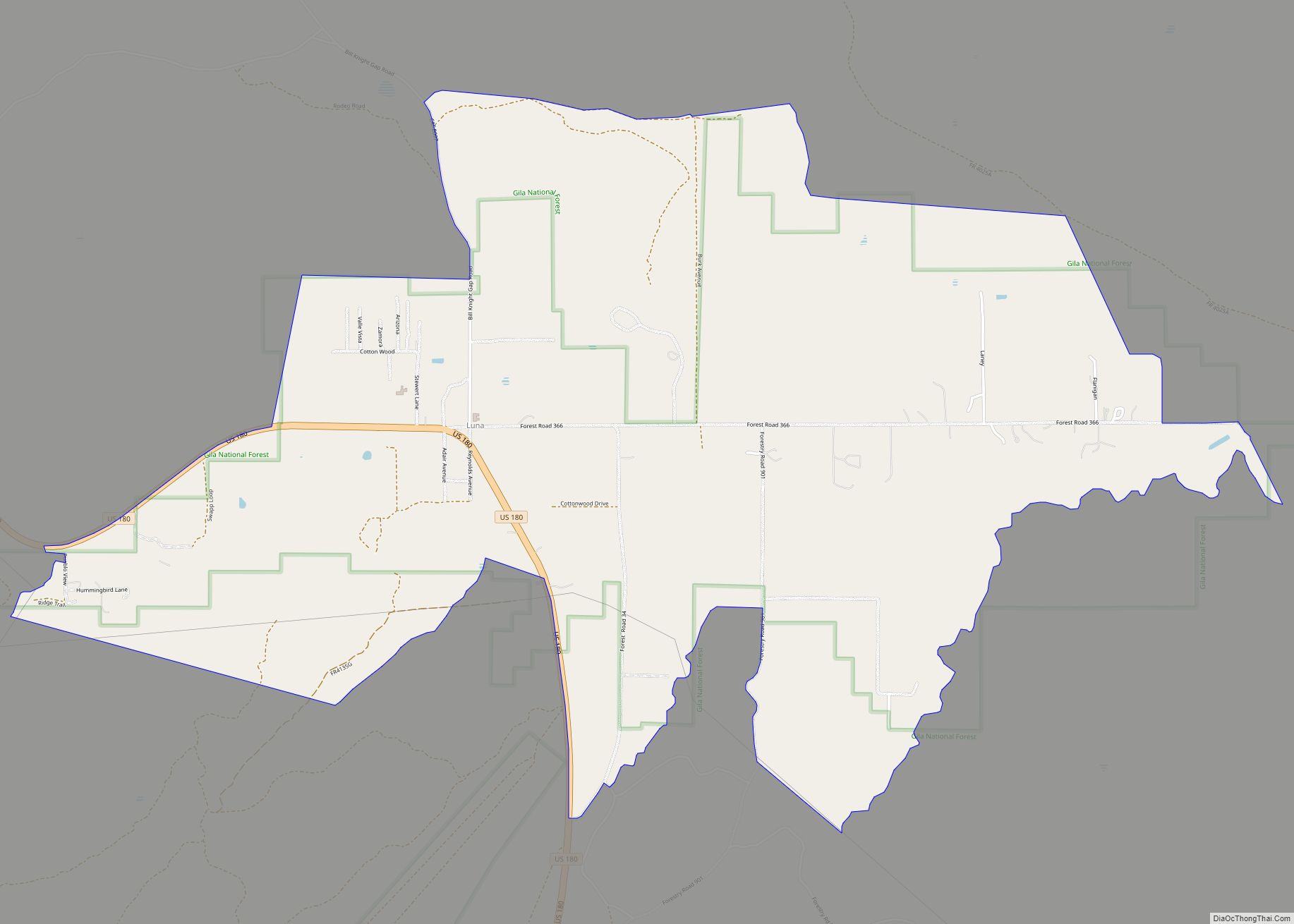
Online Interactive Map
Click on ![]() to view map in "full screen" mode.
to view map in "full screen" mode.
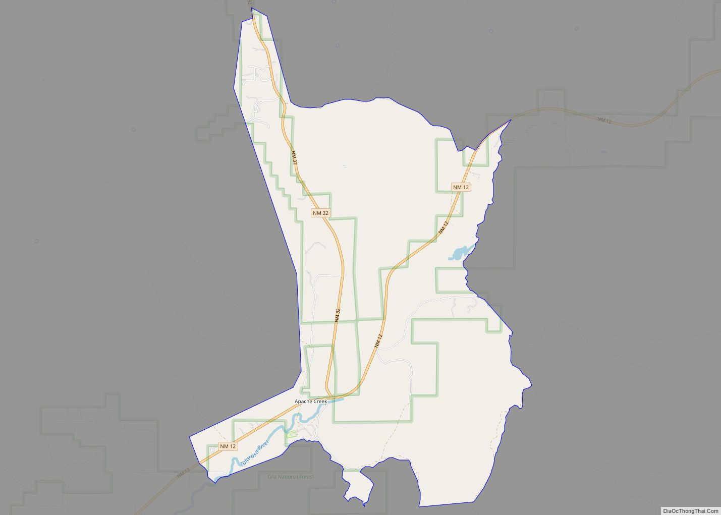
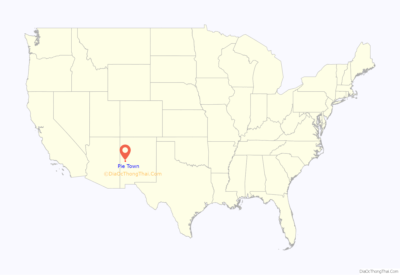
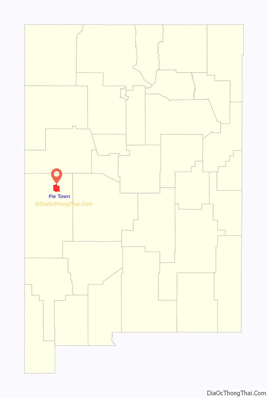
Pie Town location map. Where is Pie Town CDP?
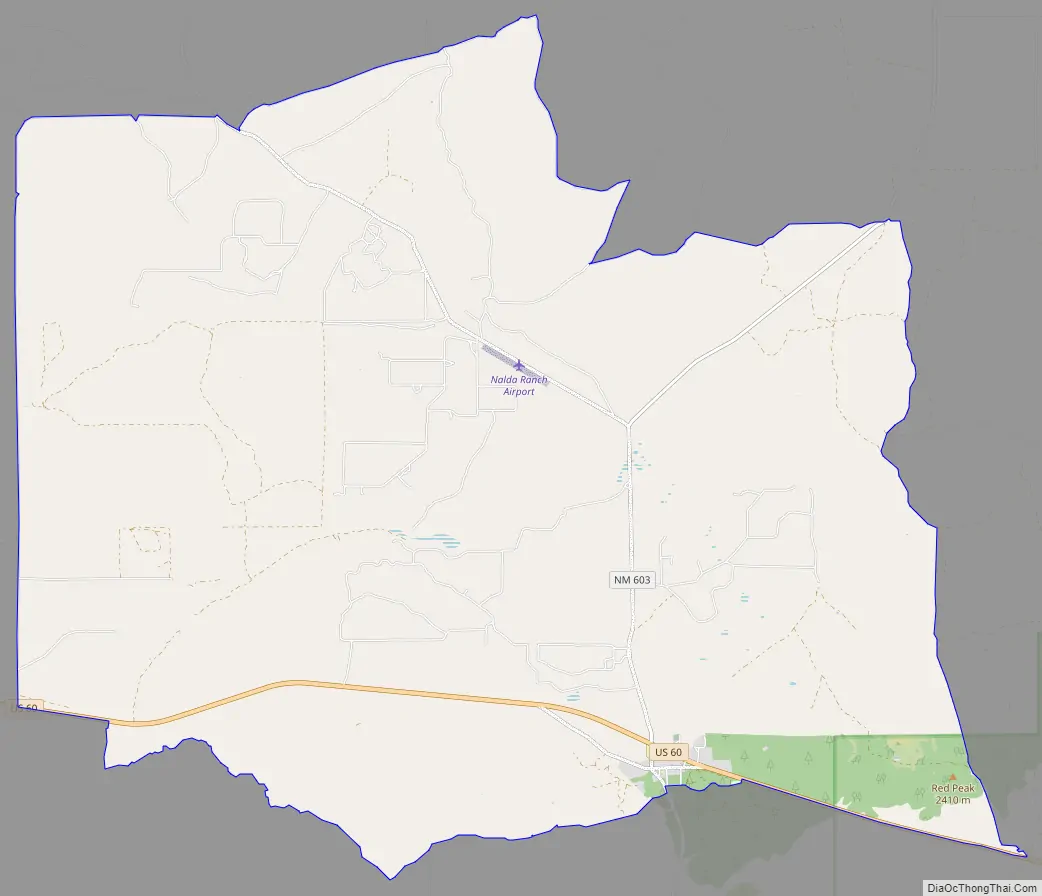
Pie Town Road Map
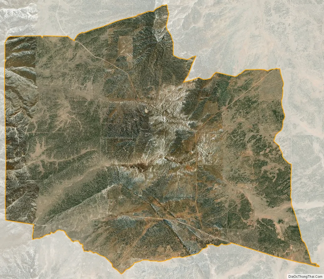
Pie Town city Satellite Map
See also
Map of New Mexico State and its subdivision: Map of other states:- Alabama
- Alaska
- Arizona
- Arkansas
- California
- Colorado
- Connecticut
- Delaware
- District of Columbia
- Florida
- Georgia
- Hawaii
- Idaho
- Illinois
- Indiana
- Iowa
- Kansas
- Kentucky
- Louisiana
- Maine
- Maryland
- Massachusetts
- Michigan
- Minnesota
- Mississippi
- Missouri
- Montana
- Nebraska
- Nevada
- New Hampshire
- New Jersey
- New Mexico
- New York
- North Carolina
- North Dakota
- Ohio
- Oklahoma
- Oregon
- Pennsylvania
- Rhode Island
- South Carolina
- South Dakota
- Tennessee
- Texas
- Utah
- Vermont
- Virginia
- Washington
- West Virginia
- Wisconsin
- Wyoming