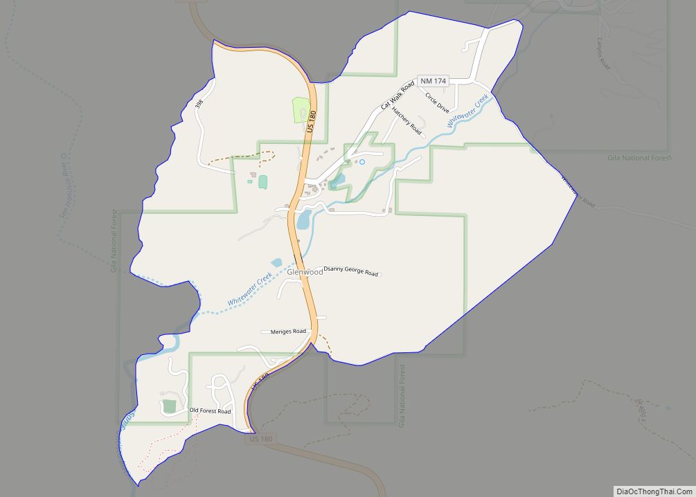
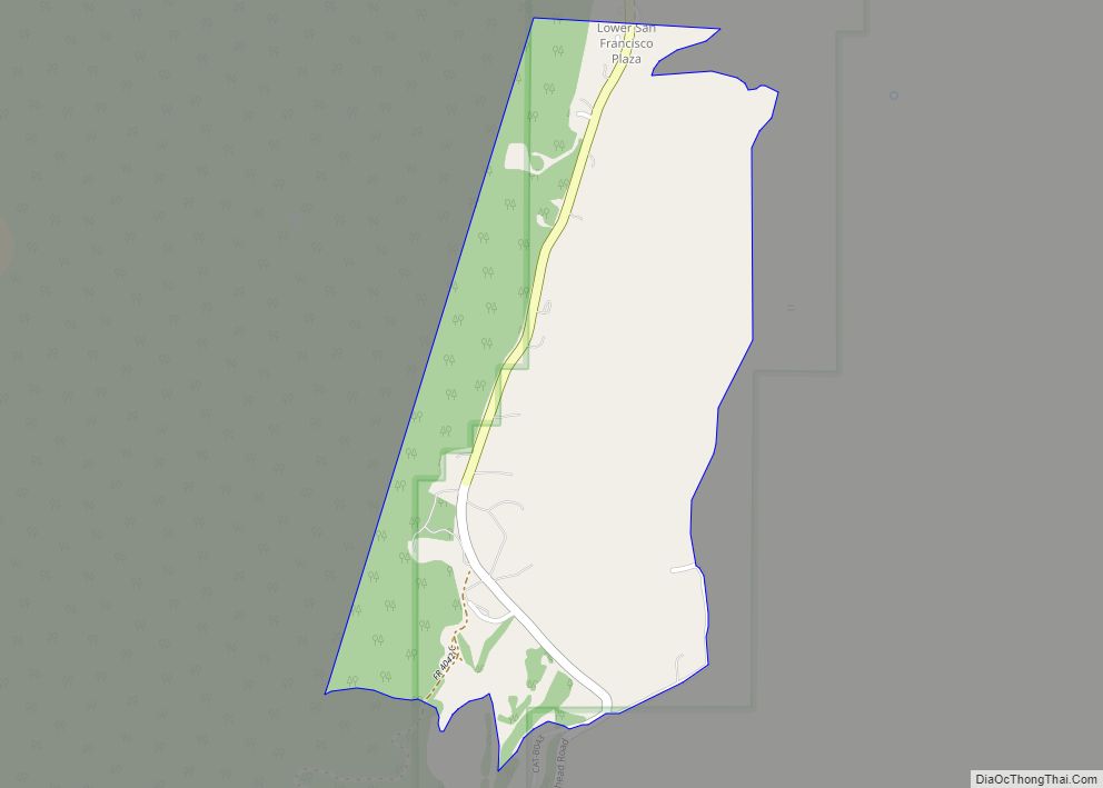
Pleasanton is a census-designated place in the Williams Valley of Catron County, south of Glenwood and north of Cliff, in the U.S. state of New Mexico. As of the 2010 census it had a population of 106. It was renowned as a safehaven for Mormon polygamists for several years.
| Name: | Pleasanton CDP |
|---|---|
| LSAD Code: | 57 |
| LSAD Description: | CDP (suffix) |
| State: | New Mexico |
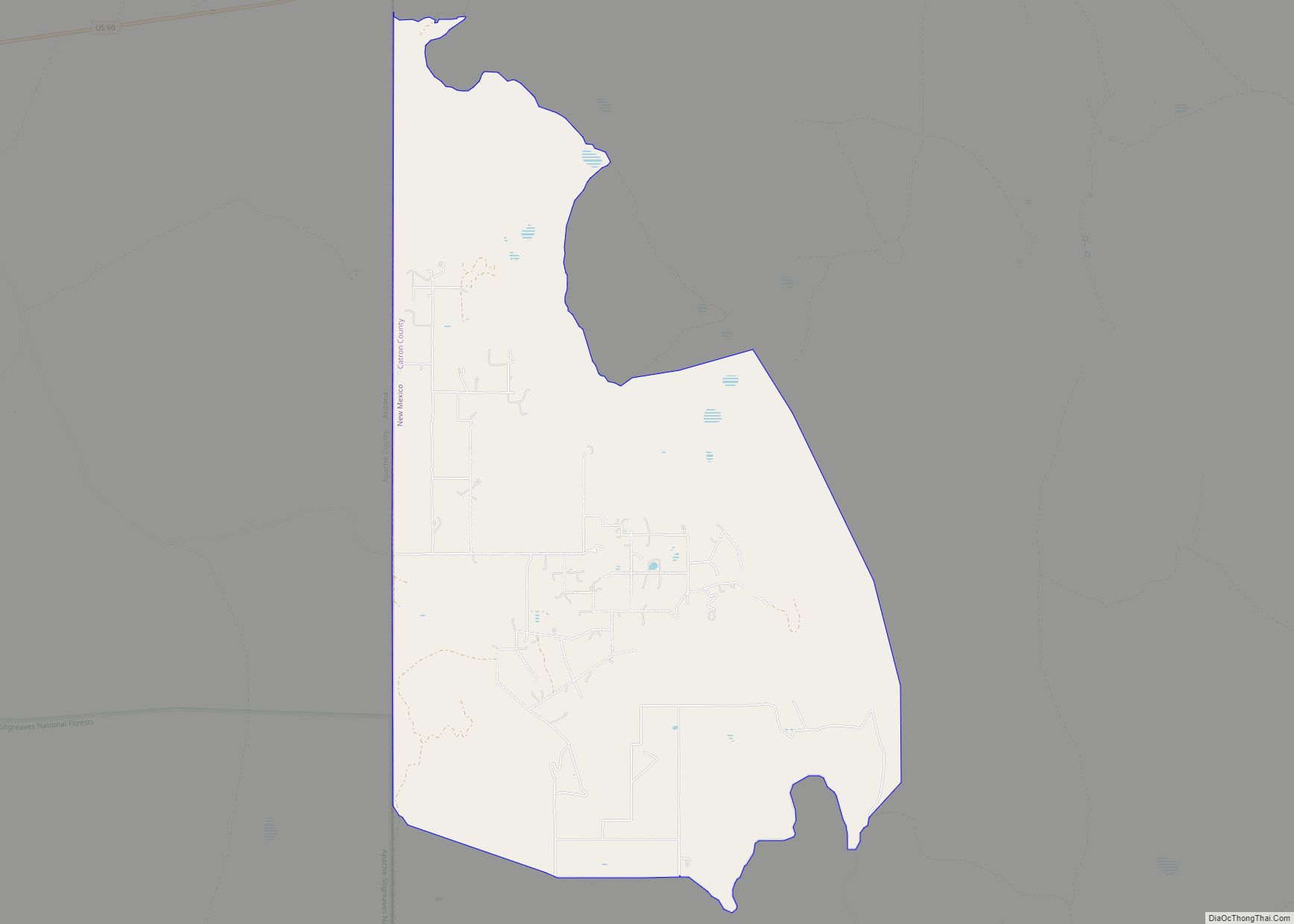
| County: | Catron County |
| Total Area: | 1.58 sq mi (4.09 km²) |
| Land Area: | 1.52 sq mi (3.94 km²) |
| Water Area: | 0.06 sq mi (0.14 km²) |
| Total Population: | 97 |
| Population Density: | 63.69/sq mi (24.59/km²) |
| Area code: | 575 |
| FIPS code: | 3558420 |
| GNISfeature ID: | 35-58420 |
Online Interactive Map
Click on ![]() to view map in "full screen" mode.
to view map in "full screen" mode.
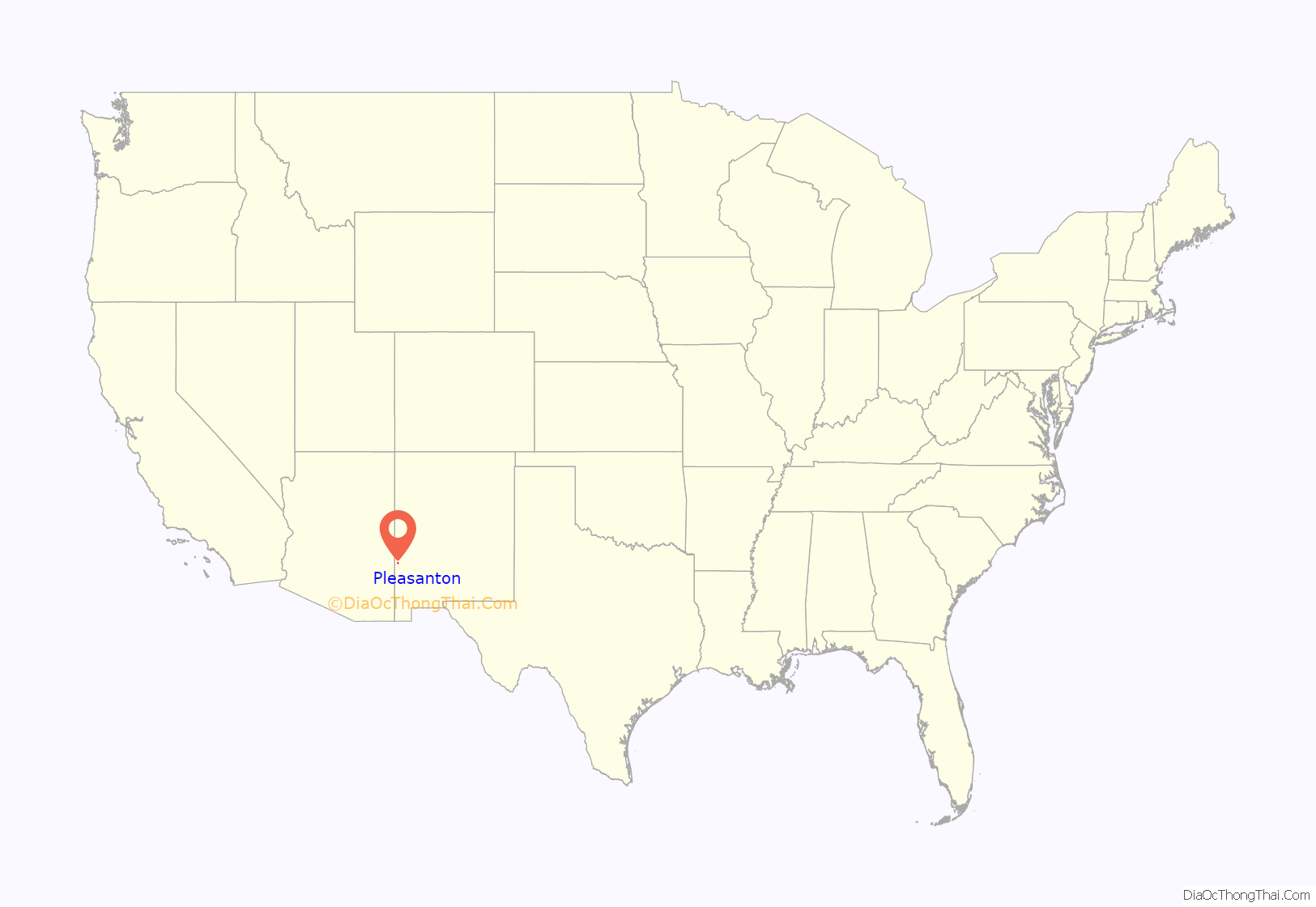
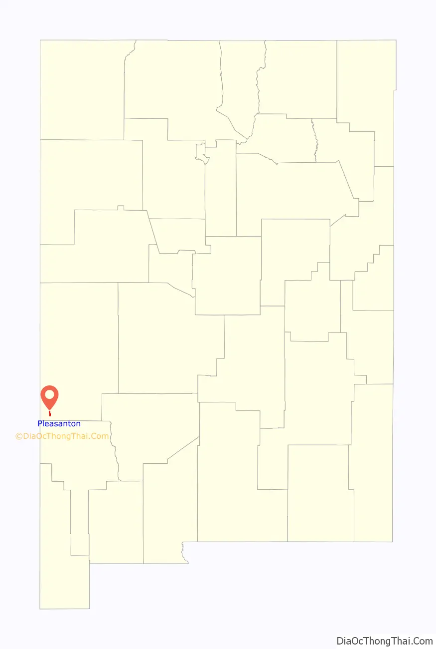
Pleasanton location map. Where is Pleasanton CDP?
History
Pleasanton was founded by Mormons in 1882. The 24th child of Mormon polygamist Jacob Hamblin was born there in 1884. Hamblin died of malarial fever in 1886. Other polygamists, including William Maxwell, made their home in Pleasanton specifically to evade the law.
In 1885 a band of Chiricahua Apache killed a group of U.S. Army soldiers in a triple cross-fire trap near Pleasanton.
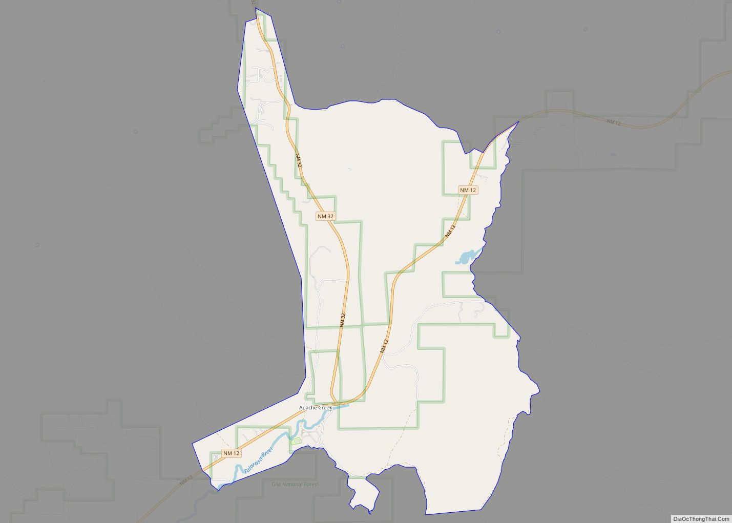
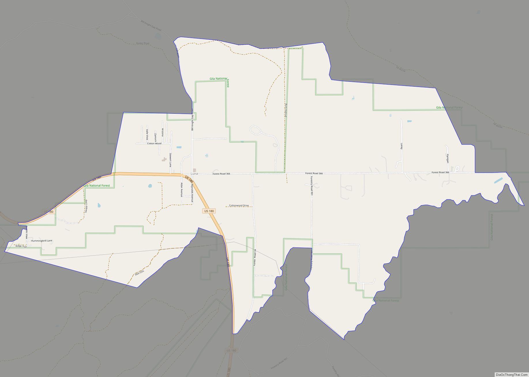
Pleasanton Road Map
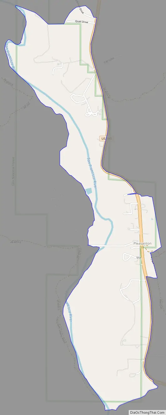
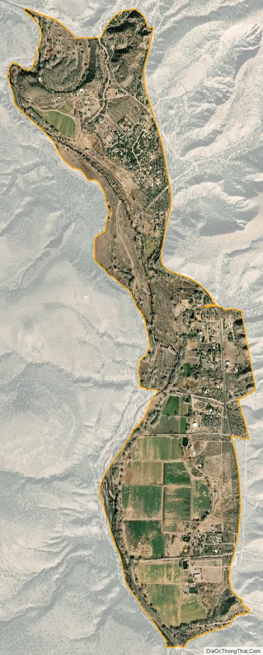
Pleasanton city Satellite Map
See also
Map of New Mexico State and its subdivision: Map of other states:- Alabama
- Alaska
- Arizona
- Arkansas
- California
- Colorado
- Connecticut
- Delaware
- District of Columbia
- Florida
- Georgia
- Hawaii
- Idaho
- Illinois
- Indiana
- Iowa
- Kansas
- Kentucky
- Louisiana
- Maine
- Maryland
- Massachusetts
- Michigan
- Minnesota
- Mississippi
- Missouri
- Montana
- Nebraska
- Nevada
- New Hampshire
- New Jersey
- New Mexico
- New York
- North Carolina
- North Dakota
- Ohio
- Oklahoma
- Oregon
- Pennsylvania
- Rhode Island
- South Carolina
- South Dakota
- Tennessee
- Texas
- Utah
- Vermont
- Virginia
- Washington
- West Virginia
- Wisconsin
- Wyoming