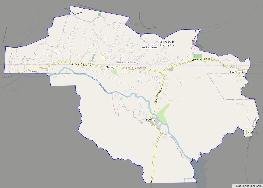
Pojoaque (/pəˈwɑːkiː/; Tewa: Pʼohsųwæ̨geh Ówîngeh/P’osuwaege Owingeh [p’òhsũ̀wæ̃̀gè ʔówîŋgè]), Po’su wae geh, which translates to “water gathering place”, is a census-designated place (CDP) in Santa Fe County, New Mexico, United States. It is part of the Santa Fe, New Mexico Metropolitan Statistical Area. The population was 1,907 at the 2010 census. Pojoaque Pueblo, a neighboring community, is an Indian reservation, and the town of Pojoaque is a collection of communities near the pueblo with people from various ethnic backgrounds. The area of Pojoaque includes the neighborhoods of Cuyamungue, Jacona, Jaconita, Nambé and El Rancho.
| Name: | Pojoaque CDP |
|---|---|
| LSAD Code: | 57 |
| LSAD Description: | CDP (suffix) |
| State: | New Mexico |
| County: | Santa Fe County |
| Elevation: | 5,853 ft (1,784 m) |
| Total Area: | 4.37 sq mi (11.31 km²) |
| Land Area: | 4.37 sq mi (11.31 km²) |
| Water Area: | 0.00 sq mi (0.00 km²) |
| Total Population: | 2,071 |
| Population Density: | 474.13/sq mi (183.06/km²) |
| ZIP code: | 87506 |
| Area code: | 505 |
| FIPS code: | 3558630 |
| GNISfeature ID: | 0928773 |
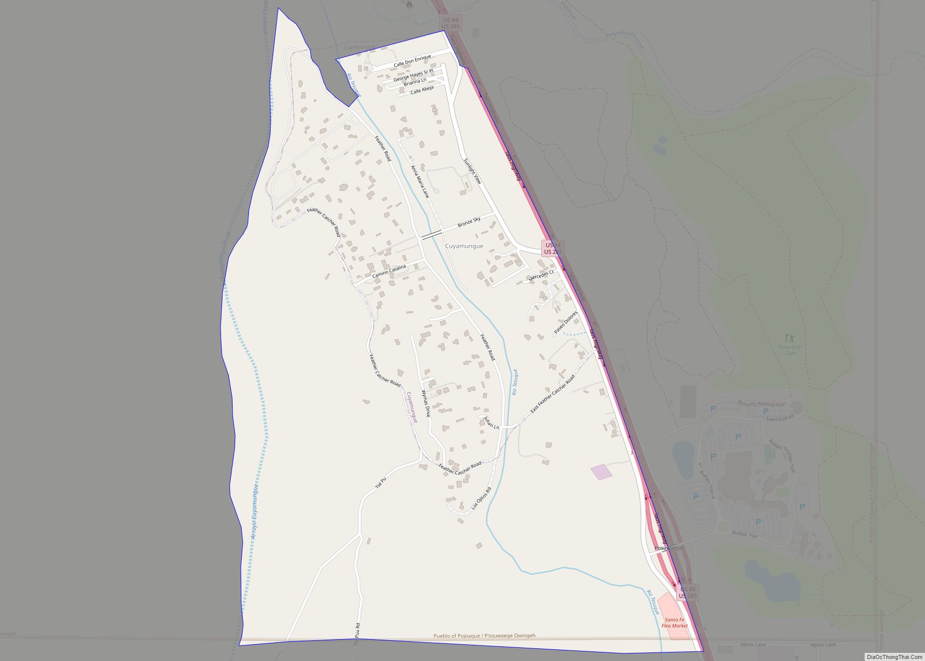
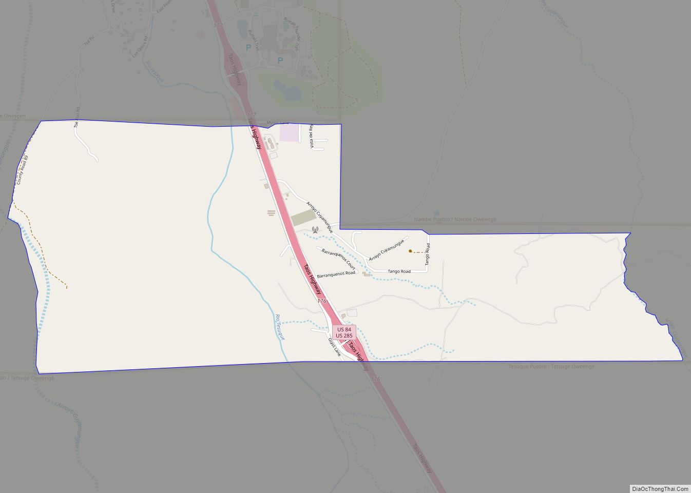
Online Interactive Map
Click on ![]() to view map in "full screen" mode.
to view map in "full screen" mode.
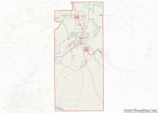
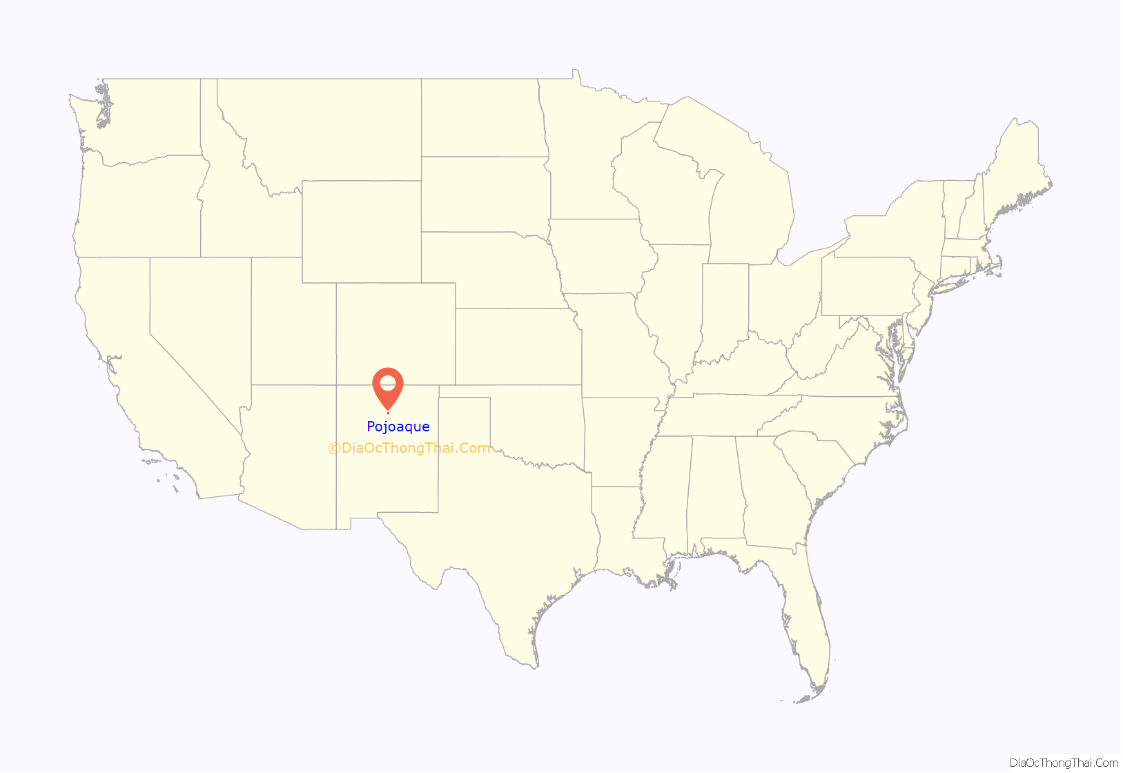
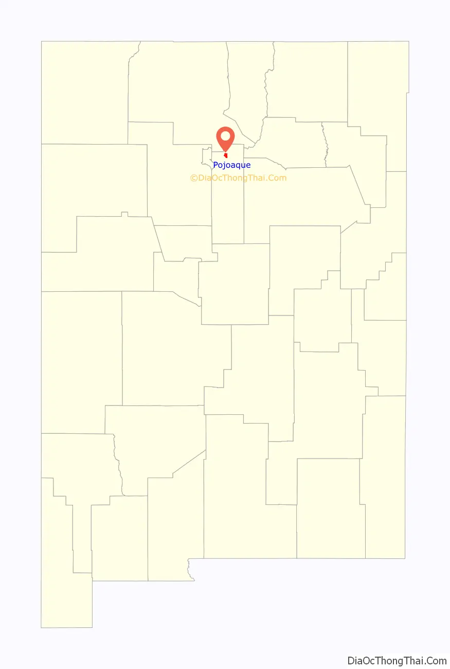
Pojoaque location map. Where is Pojoaque CDP?
History
Pojoaque
In the early 17th century, the first Spanish mission, San Francisco de Pojoaque was founded. During the Pueblo Revolt of 1680, Pojoaque was abandoned, and was not resettled until circa 1706. By 1712, the population had reached 79. During the revolt of 1837, New Mexico native Manuel Armijo defeated the rebels at Puertocito Pojoaque, east of Santa Cruz de la Cañada. In the early 1900s, the Pojoaque Valley School District was established to serve the educational needs of the valley.
Pojoaque Pueblo
Pojoaque Pueblo is one of the six Tewa-speaking Rio Grande Pueblos, and a member of the Eight Northern Pueblos. The Pueblo was settled around 500 AD, with the population peaking in the 15th and 16th centuries.
In about 1900, a severe smallpox epidemic caused the pueblo to be abandoned once again by 1912. In 1934, Pojoaque Pueblo was reoccupied, and became a federally recognized Indian reservation in 1936.
Pojoaque Pueblo remains a major employer in the region, owning several business enterprises, including the gaming operations of three casino locations: Buffalo Thunder Resort, Cities of Gold Casino, and Jake’s Casino. Prior to 2017, the New Mexico state gaming compacts signed by the pueblo expired, but the pueblo has continued gaming operations and resumed negotiations with the state of New Mexico.
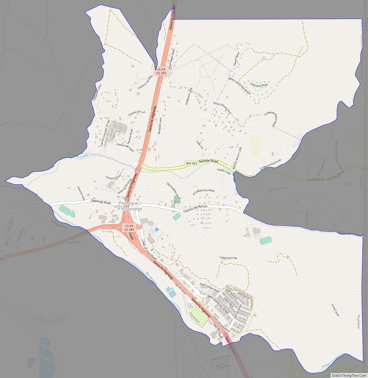
Pojoaque Road Map
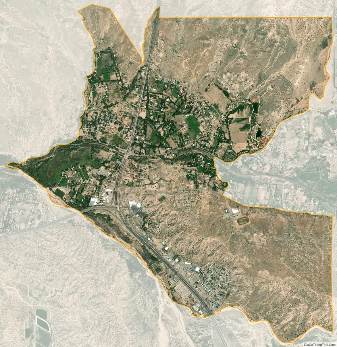
Pojoaque city Satellite Map
Geography
Pojoaque is located at 35°53′26″N 106°01′34″W / 35.89056°N 106.02611°W / 35.89056; -106.02611 (35.890581, -106.009511).
According to the United States Census Bureau, the CDP has a total area of 2.9 square miles (7.5 km), all land.
Pojoaque Creek runs from the Sangre de Cristo Mountains from Nambé Lake westward. Passing through the pueblo, it joins the Rio Tesuque to form the Pojoaque River, which flows into the Rio Grande.
See also
Map of New Mexico State and its subdivision: Map of other states:- Alabama
- Alaska
- Arizona
- Arkansas
- California
- Colorado
- Connecticut
- Delaware
- District of Columbia
- Florida
- Georgia
- Hawaii
- Idaho
- Illinois
- Indiana
- Iowa
- Kansas
- Kentucky
- Louisiana
- Maine
- Maryland
- Massachusetts
- Michigan
- Minnesota
- Mississippi
- Missouri
- Montana
- Nebraska
- Nevada
- New Hampshire
- New Jersey
- New Mexico
- New York
- North Carolina
- North Dakota
- Ohio
- Oklahoma
- Oregon
- Pennsylvania
- Rhode Island
- South Carolina
- South Dakota
- Tennessee
- Texas
- Utah
- Vermont
- Virginia
- Washington
- West Virginia
- Wisconsin
- Wyoming