Ramah (Navajo: Tłʼohchiní – place of wild onions) is a census-designated place (CDP) in McKinley County, New Mexico. The population was 407 at the time of 2000 census and 370 at the 2010 United States Census.
| Name: | Ramah CDP |
|---|---|
| LSAD Code: | 57 |
| LSAD Description: | CDP (suffix) |
| State: | New Mexico |
| County: | McKinley County |
| Elevation: | 6,926 ft (2,111 m) |
| Total Area: | 12.27 sq mi (31.77 km²) |
| Land Area: | 12.27 sq mi (31.77 km²) |
| Water Area: | 0.00 sq mi (0.00 km²) |
| Total Population: | 461 |
| Population Density: | 37.58/sq mi (14.51/km²) |
| ZIP code: | 87321 |
| Area code: | 505 |
| FIPS code: | 3561220 |
| GNISfeature ID: | 0909970 |
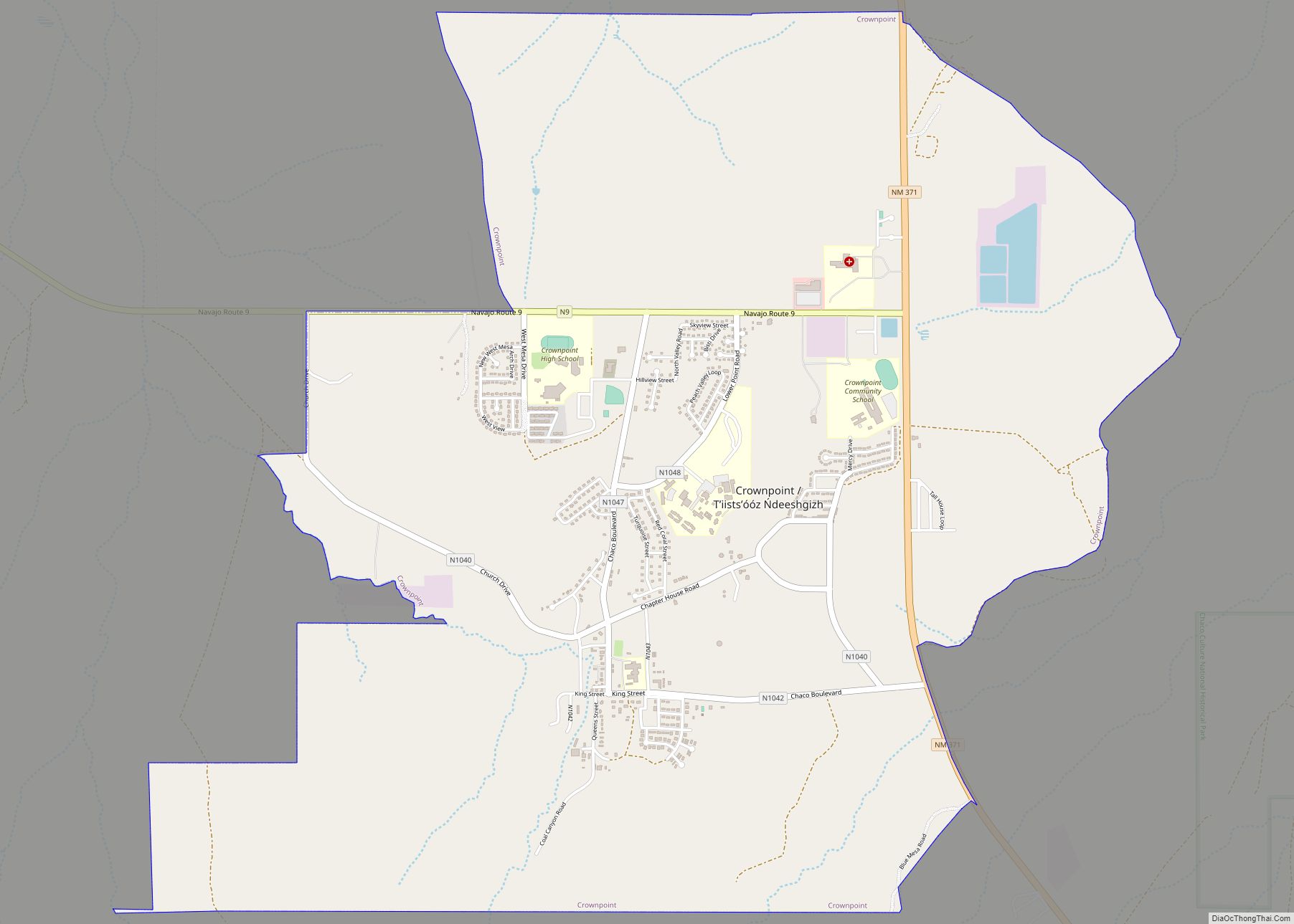
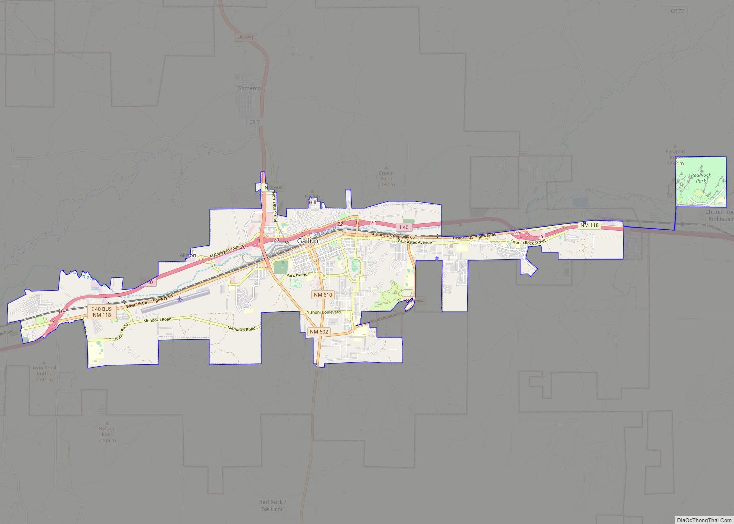
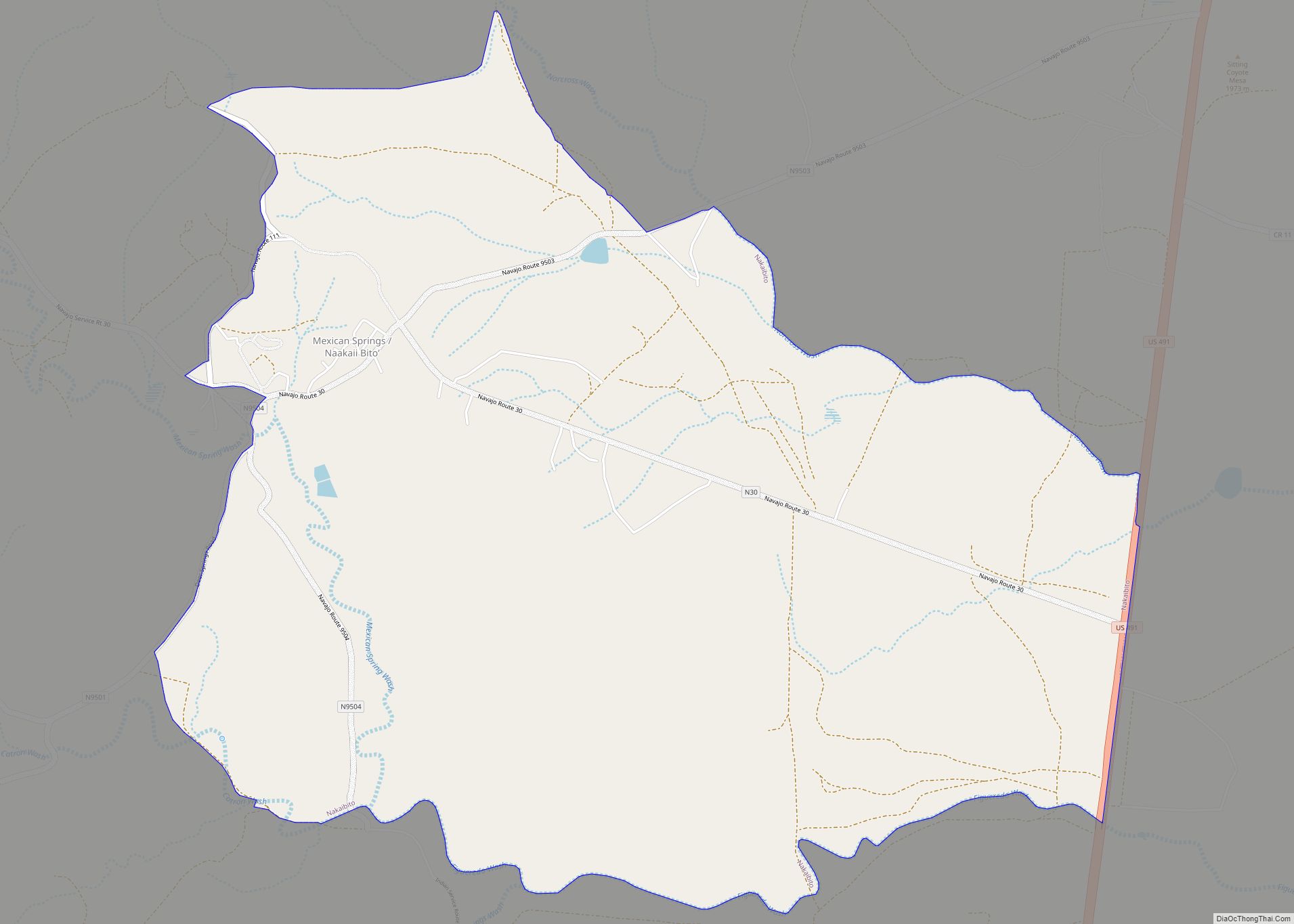
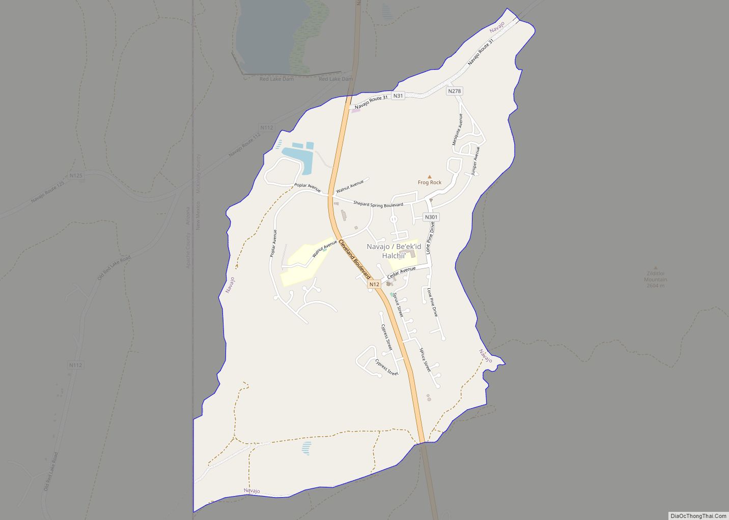
Online Interactive Map
Click on ![]() to view map in "full screen" mode.
to view map in "full screen" mode.
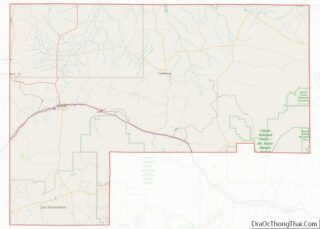
Ramah location map. Where is Ramah CDP?
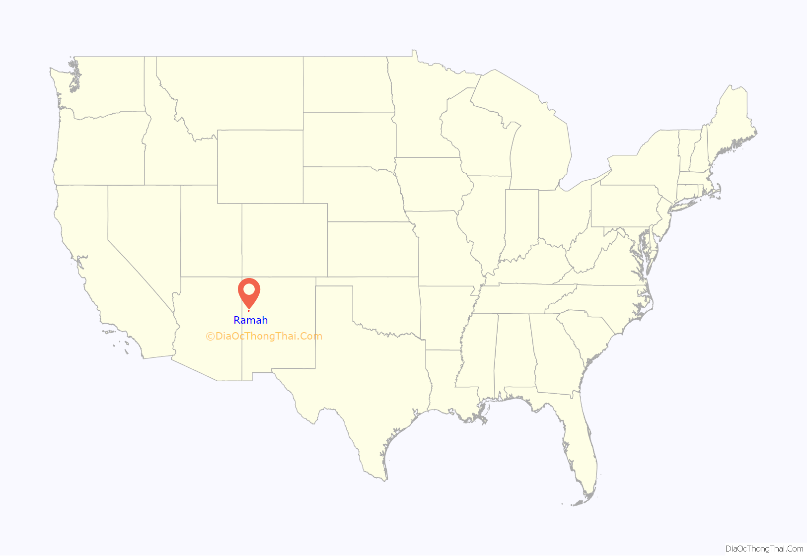
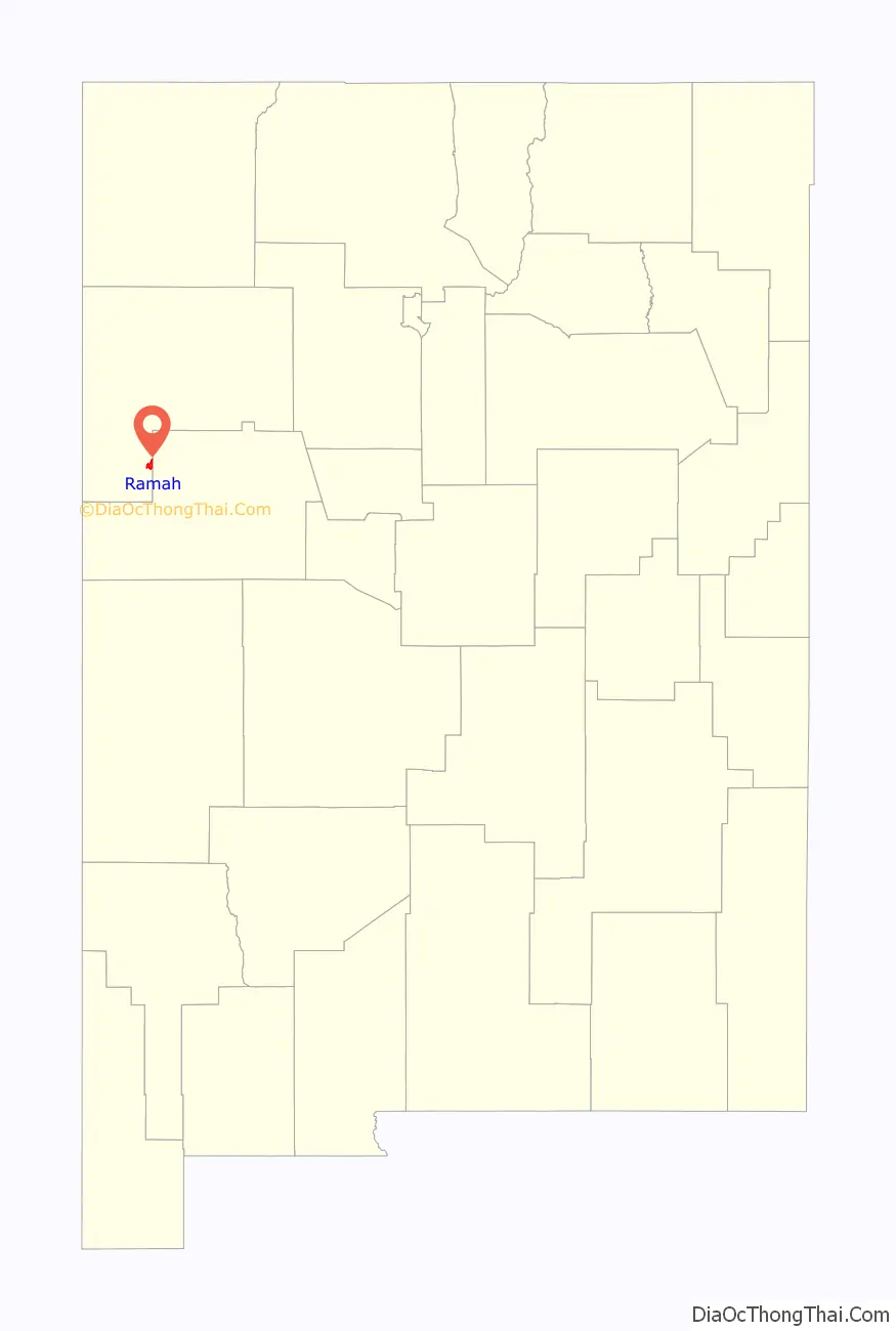
Ramah Road Map
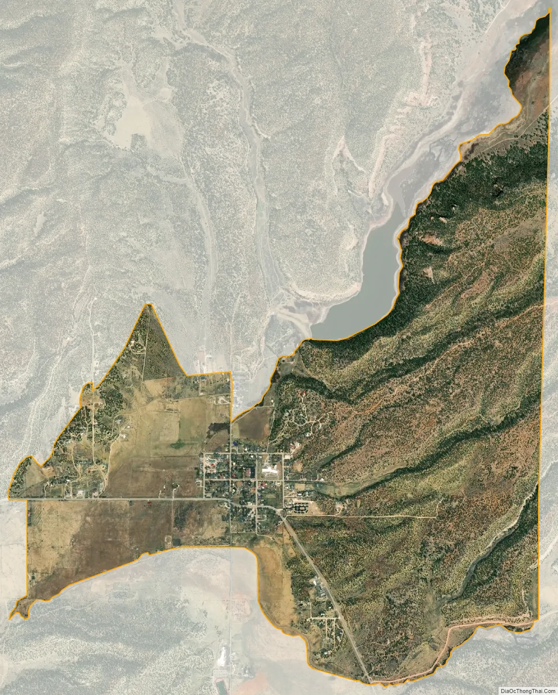
Ramah city Satellite Map
Geography
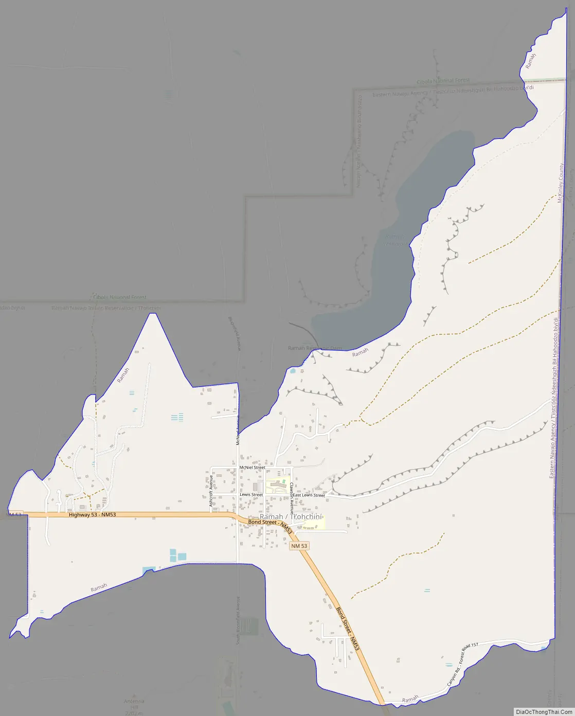
Ramah is located at 35°8′6″N 108°29′16″W / 35.13500°N 108.48778°W / 35.13500; -108.48778 (35.135013, -108.487798). Its altitude is 6,926 feet (2,111 m).
According to the United States Census Bureau, the CDP has a total area of 3.8 square miles (9.8 km), all land.
Surrounding countryside
Established in 1876, Ramah was one of fifty locations in the New Mexico Territory settled, under the direction of Brigham Young, by Mormon pioneers and is one of only three that remain today. Ramah was originally settled for the purpose of missionary work to be carried out within the Zuni and Navajo communities. Many of the original stone houses are still standing and are a testament to the hard work and skill of Ramah’s early founders. One such building has been restored and preserved as a museum to display the heritage of the valley’s past.
Ramah Lake was built by these same pioneers in order to farm the surrounding area, which receives moderate rainfall on a yearly basis. The lake relies on snowfall and spring runoff to sustain its water levels. This trait is shared by many areas in the state of New Mexico. In recent years, due to drought, the lake had dried up; the town irrigation committee used this low water level to make improvements including dredging a large amount of silt buildup and reinforcing the dam, allowing water to be used more efficiently. Modernization in irrigation has allowed water to be used more effectively.
Lying at 6926 feet above sea level, Ramah is considered by some as a high desert, but at higher elevations in includes tall pines, sandstone cliffs, and timber covered mountains. Much of the lower landscape in the surrounding area is covered with lava flows from the chain of volcanos to the south. Intermixed in the scenery are ruins of an ancient people who dotted the land.
The Ramah Lake hiking trails and the neighboring El Morro, El Calderon, and El Malpais National Monuments offer hikers beautiful views of colorful sandstone cliffs and sprawling vistas, as well as a glimpse into the past life of the ancient people who build their stone structures and lived on the land.
Ramah lies between the Zuni Indian Reservation, the Ramah Navajo Indian Reservation, and the Cibola National Forest. Wild Spirit Wolf Sanctuary, El Morro National Monument, and El Malpais National Monument are all located near the Ramah area.
See also
Map of New Mexico State and its subdivision: Map of other states:- Alabama
- Alaska
- Arizona
- Arkansas
- California
- Colorado
- Connecticut
- Delaware
- District of Columbia
- Florida
- Georgia
- Hawaii
- Idaho
- Illinois
- Indiana
- Iowa
- Kansas
- Kentucky
- Louisiana
- Maine
- Maryland
- Massachusetts
- Michigan
- Minnesota
- Mississippi
- Missouri
- Montana
- Nebraska
- Nevada
- New Hampshire
- New Jersey
- New Mexico
- New York
- North Carolina
- North Dakota
- Ohio
- Oklahoma
- Oregon
- Pennsylvania
- Rhode Island
- South Carolina
- South Dakota
- Tennessee
- Texas
- Utah
- Vermont
- Virginia
- Washington
- West Virginia
- Wisconsin
- Wyoming