Rock Springs (Navajo: Tséchʼízhí) is a census-designated place (CDP) in McKinley County, New Mexico, United States. The population was 558 at the 2000 census.
| Name: | Rock Springs CDP |
|---|---|
| LSAD Code: | 57 |
| LSAD Description: | CDP (suffix) |
| State: | New Mexico |
| County: | McKinley County |
| Elevation: | 6,581 ft (2,006 m) |
| Total Area: | 12.59 sq mi (32.60 km²) |
| Land Area: | 12.59 sq mi (32.60 km²) |
| Water Area: | 0.00 sq mi (0.00 km²) |
| Total Population: | 807 |
| Population Density: | 64.11/sq mi (24.75/km²) |
| Area code: | 505 |
| FIPS code: | 3564230 |
| GNISfeature ID: | 1852634 |
| Website: | www.rocksprings.nndes.org |
Online Interactive Map
Click on ![]() to view map in "full screen" mode.
to view map in "full screen" mode.
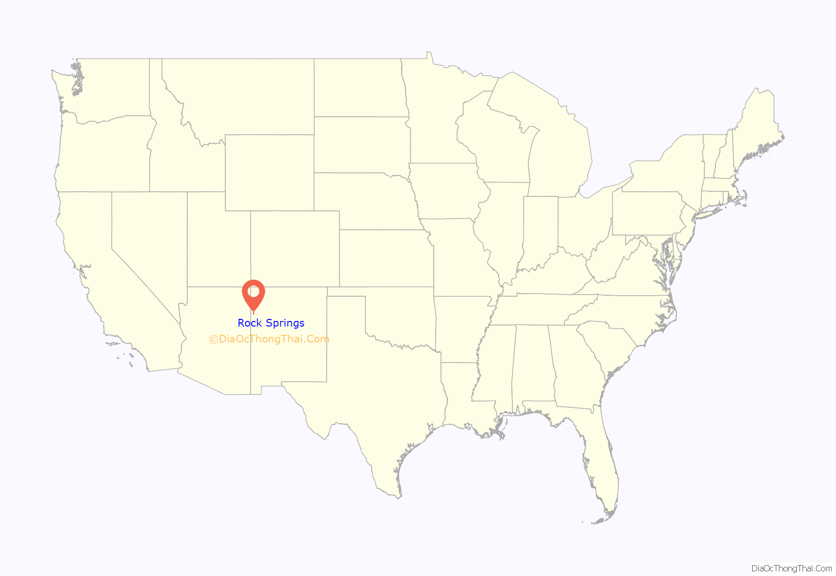
Rock Springs location map. Where is Rock Springs CDP?
History
The Rock Springs Chapter started to take form in the late 1930s. Rock Springs Chapter is part of the “Checker Board Area” in the Eastern Agency of the Navajo Nation. The Chapter area covers the communities of Sagebrush, China Springs, and Rock Springs. The community of Yatahey Junction (including Navajo Estates) is within the Chapter boundaries although is not governed by the Chapter. The Chapter is within commuting distance of Gallup and is influenced by this city in terms of modernization.
Rock Springs Road Map
Rock Springs city Satellite Map
Geography
Rock Springs is located at 35°36′34″N 108°49′35″W / 35.60944°N 108.82639°W / 35.60944; -108.82639 (35.609485, -108.826376).
According to the United States Census Bureau, the CDP has a total area of 6.0 square miles (16 km), all land.
See also
Map of New Mexico State and its subdivision: Map of other states:- Alabama
- Alaska
- Arizona
- Arkansas
- California
- Colorado
- Connecticut
- Delaware
- District of Columbia
- Florida
- Georgia
- Hawaii
- Idaho
- Illinois
- Indiana
- Iowa
- Kansas
- Kentucky
- Louisiana
- Maine
- Maryland
- Massachusetts
- Michigan
- Minnesota
- Mississippi
- Missouri
- Montana
- Nebraska
- Nevada
- New Hampshire
- New Jersey
- New Mexico
- New York
- North Carolina
- North Dakota
- Ohio
- Oklahoma
- Oregon
- Pennsylvania
- Rhode Island
- South Carolina
- South Dakota
- Tennessee
- Texas
- Utah
- Vermont
- Virginia
- Washington
- West Virginia
- Wisconsin
- Wyoming
