San Mateo is a census-designated place in Cibola County, New Mexico, United States. The population was 161 at the 2010 census.
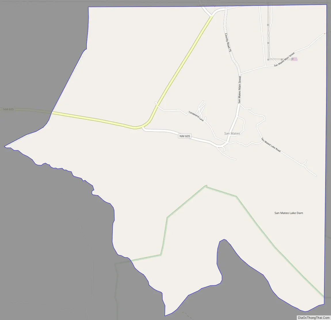
The community has a Catholic church, a Baptist church, a Morada, a cemetery, a Volunteer Fire Department(McKinley County funded) and an old abandoned elementary school. It is also coined “the Uranium Capital of the World”.
| Name: | San Mateo CDP |
|---|---|
| LSAD Code: | 57 |
| LSAD Description: | CDP (suffix) |
| State: | New Mexico |
| County: | Cibola County |
| Elevation: | 7,313 ft (2,229 m) |
| Total Area: | 2.78 sq mi (7.19 km²) |
| Land Area: | 2.77 sq mi (7.19 km²) |
| Water Area: | 0.00 sq mi (0.01 km²) |
| Total Population: | 139 |
| Population Density: | 50.11/sq mi (19.35/km²) |
| ZIP code: | 87020 |
| Area code: | 505 |
| FIPS code: | 3569270 |
| GNISfeature ID: | 910660 |
Online Interactive Map
Click on ![]() to view map in "full screen" mode.
to view map in "full screen" mode.
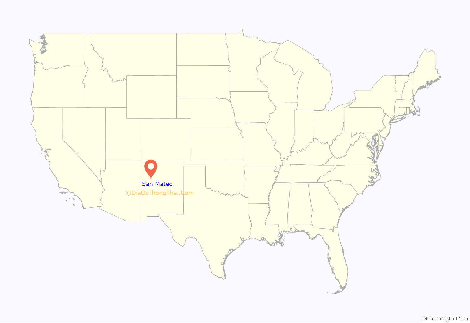
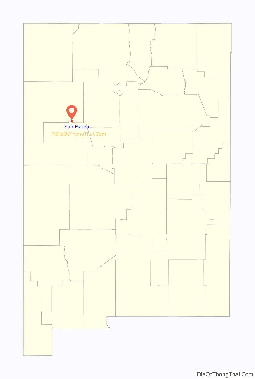
San Mateo location map. Where is San Mateo CDP?
San Mateo Road Map
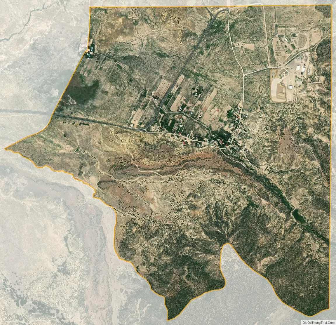
San Mateo city Satellite Map
Geography
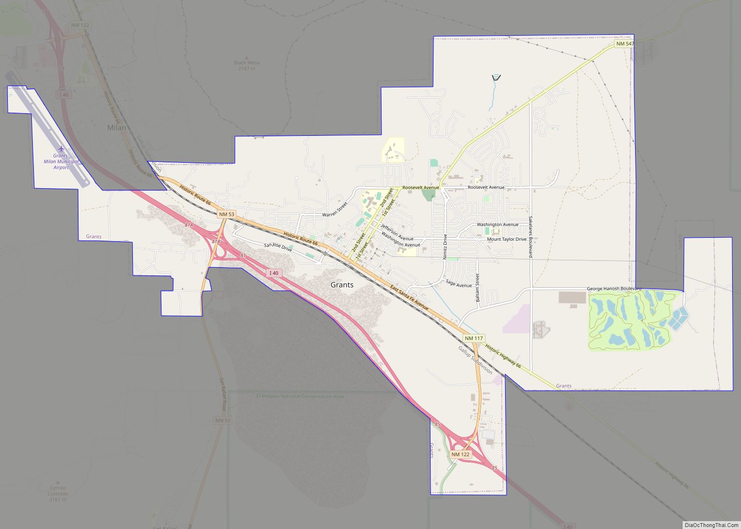
San Mateo is located at 35°19′53″N 107°38′35″W / 35.331423°N 107.643110°W / 35.331423; -107.643110 (35.331423, -107.643110). The community is 25 miles (40 km) from Grants, the largest city in Cibola County. It overlooks Mount Taylor. San Mateo lies 7313 feet (2229 m) above sea level.
See also
Map of New Mexico State and its subdivision: Map of other states:- Alabama
- Alaska
- Arizona
- Arkansas
- California
- Colorado
- Connecticut
- Delaware
- District of Columbia
- Florida
- Georgia
- Hawaii
- Idaho
- Illinois
- Indiana
- Iowa
- Kansas
- Kentucky
- Louisiana
- Maine
- Maryland
- Massachusetts
- Michigan
- Minnesota
- Mississippi
- Missouri
- Montana
- Nebraska
- Nevada
- New Hampshire
- New Jersey
- New Mexico
- New York
- North Carolina
- North Dakota
- Ohio
- Oklahoma
- Oregon
- Pennsylvania
- Rhode Island
- South Carolina
- South Dakota
- Tennessee
- Texas
- Utah
- Vermont
- Virginia
- Washington
- West Virginia
- Wisconsin
- Wyoming